
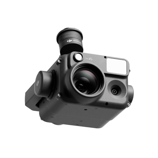
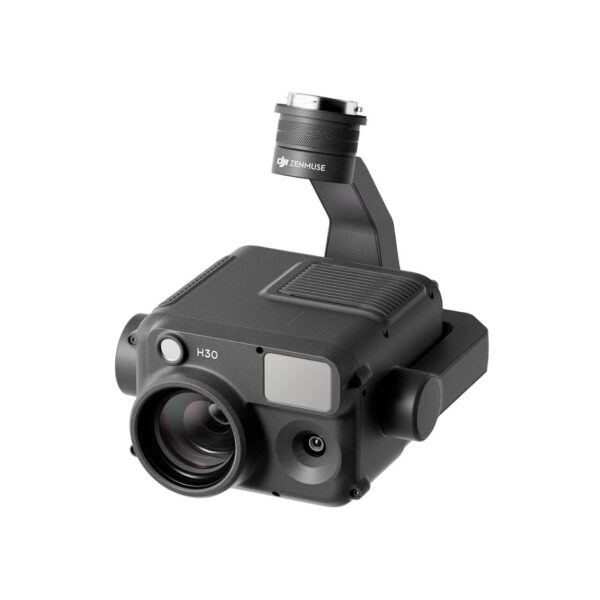
Description
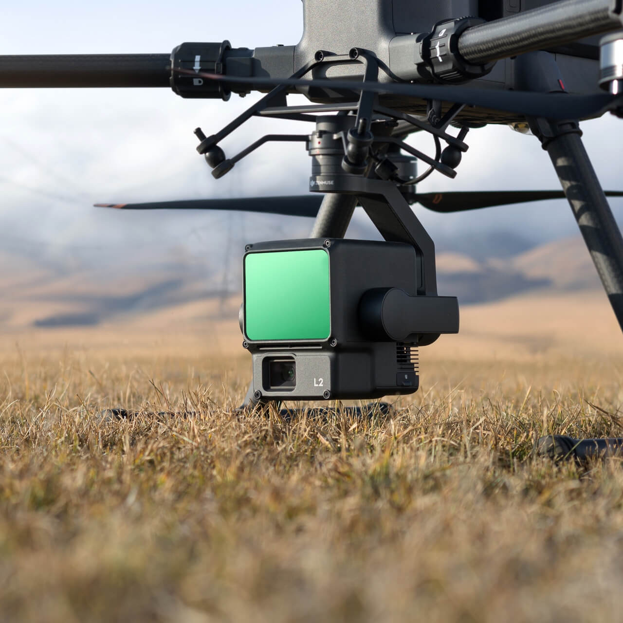
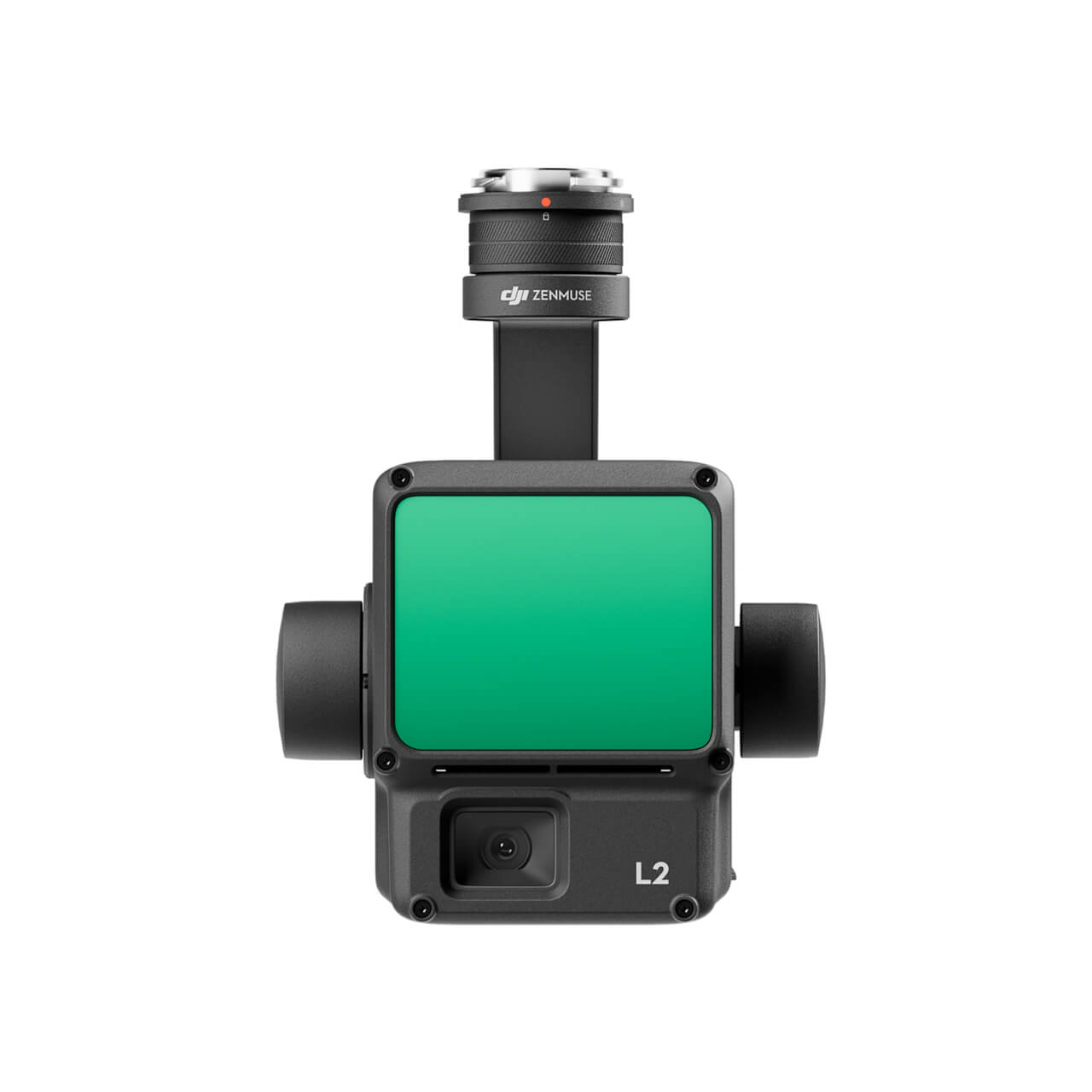
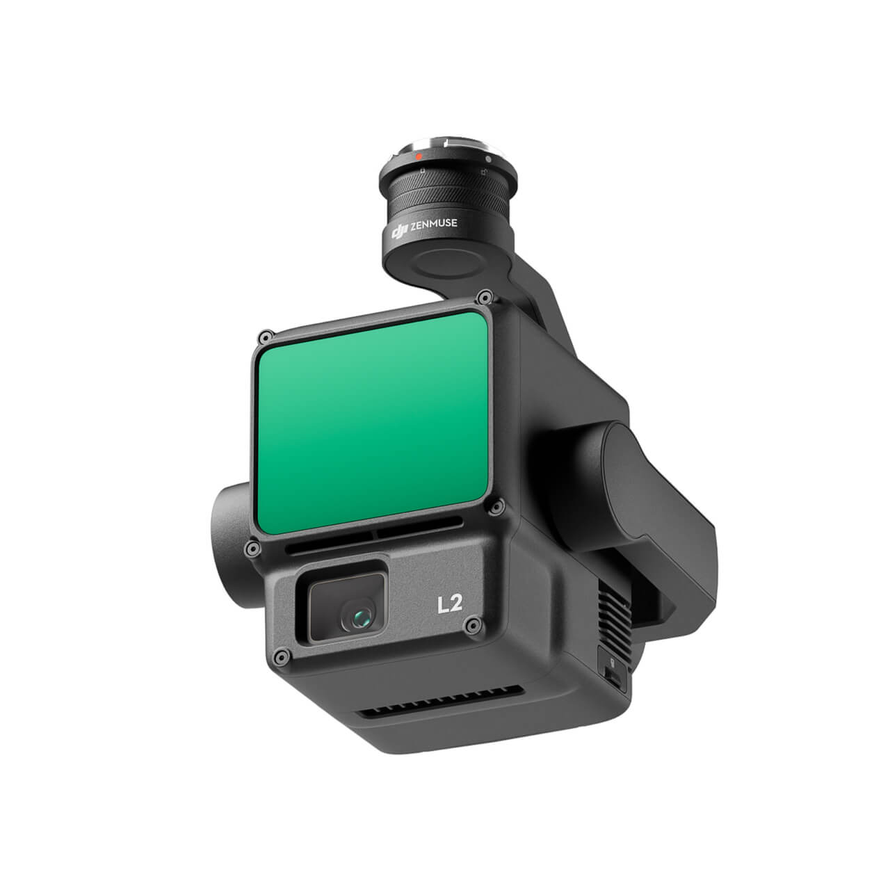
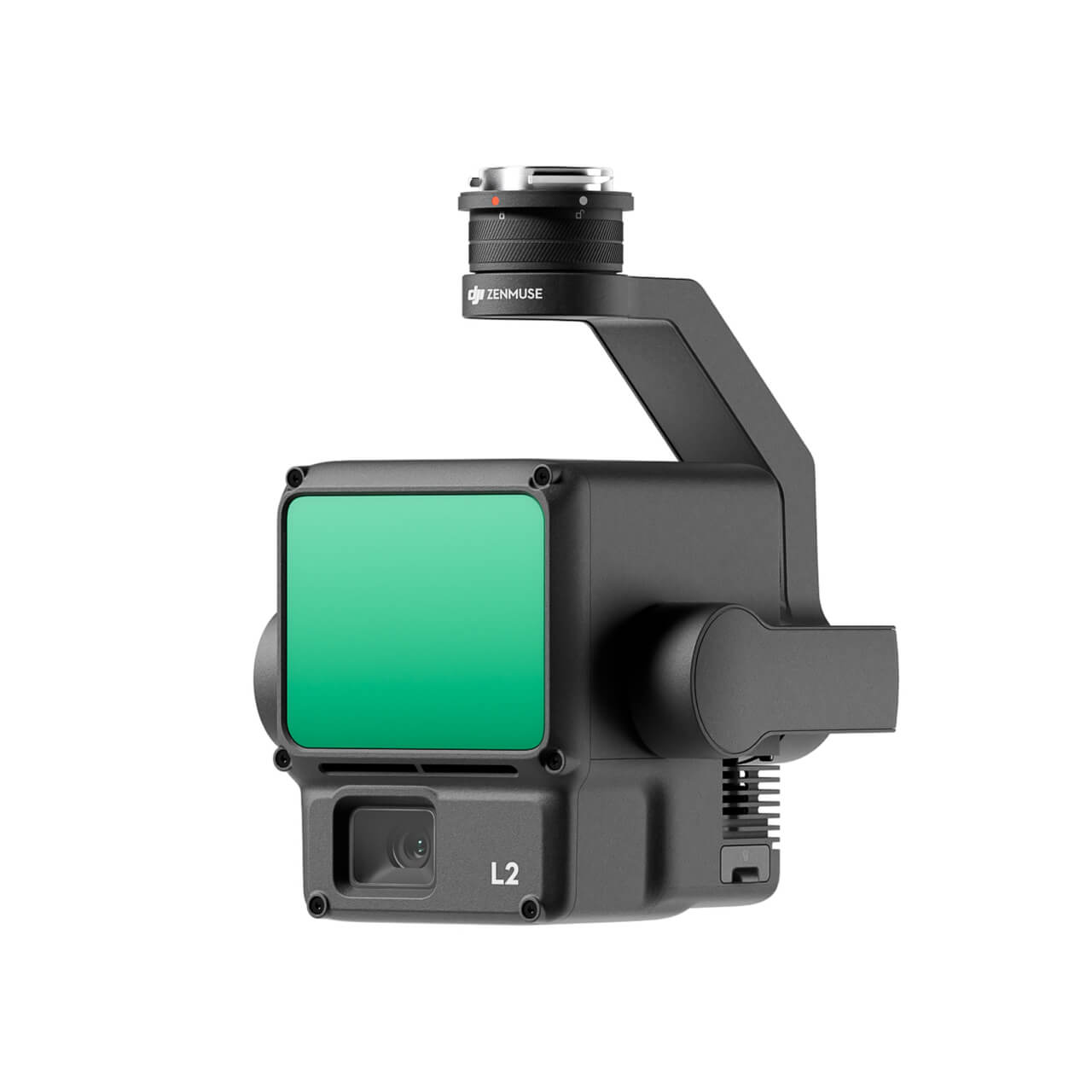
Take a Closer Look
High Precision
By combining GNSS and a self-developed high-accuracy IMU system, this solution achieves 4cm vertical accuracy and 5cm horizontal accuracy. [1]
Exceptional Efficiency
It’s ready for work as soon as it’s powered on and can collect point cloud data from a 2.5km² area in a single flight. [2]
30% Detection Range Increase
L2 reaches a detection range of up to 250 m (10% reflectivity, 100 klx) and 450 m (50% reflectivity, 0 klx). [3] The standard operational altitude now extends up to 120 meters.
Superior Penetration
With a spot size of 4×12 cm at 100m, only a fifth of that of L1, L2 not only detects smaller objects and delivers more detailed models, but can generate DEM.
One-Click Processing on DJI Terra
Generate a standard-format 3D point cloud model with just a click, as well as a DEM. Point cloud quality can also be analyzed in DJI Terra.
Point Cloud LiveView
Supports three display modes – RGB, point cloud, and point cloud/RGB side-by-side display. Quickly preview the recorded 3D point cloud model [4] to get real-time progress monitoring.
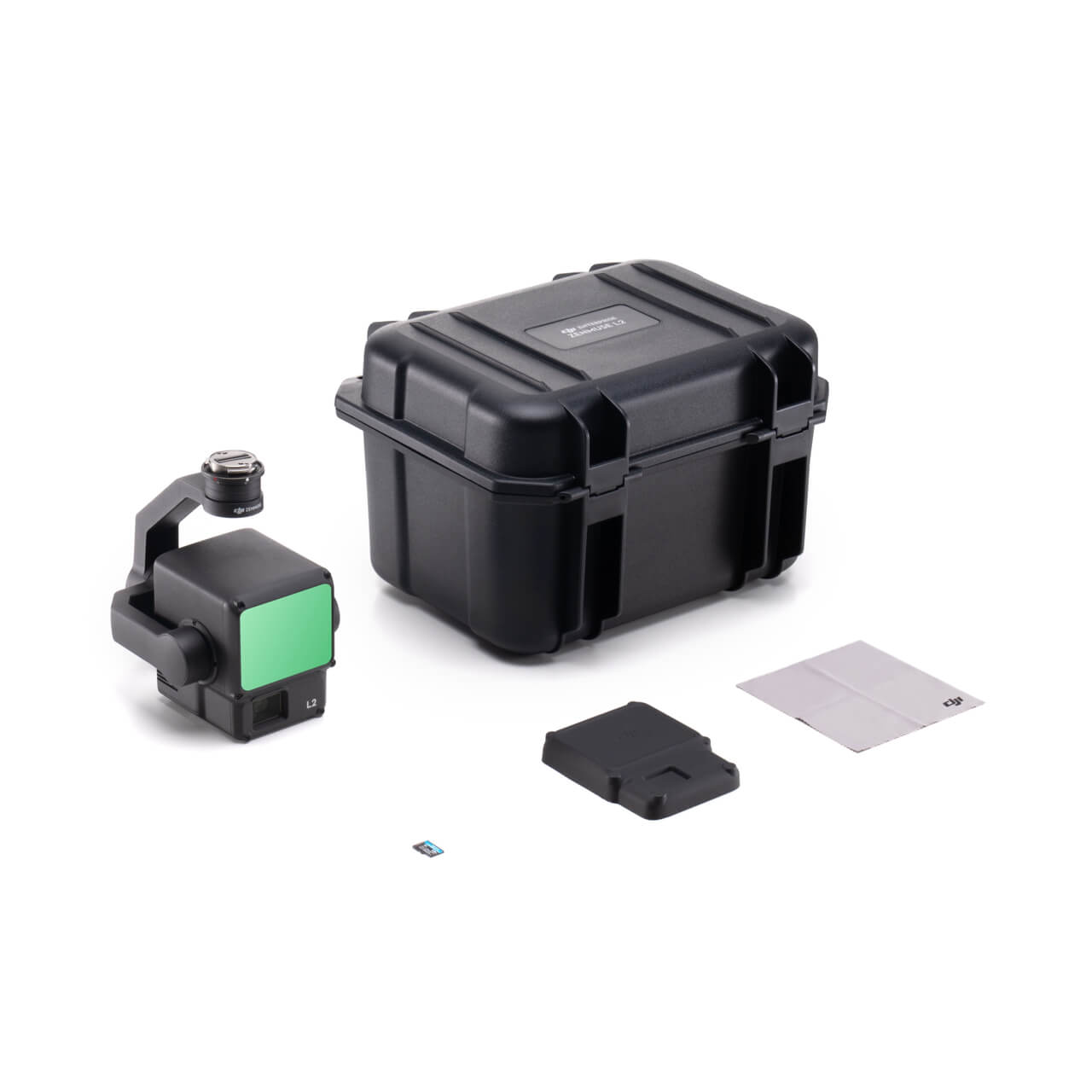
In the Box
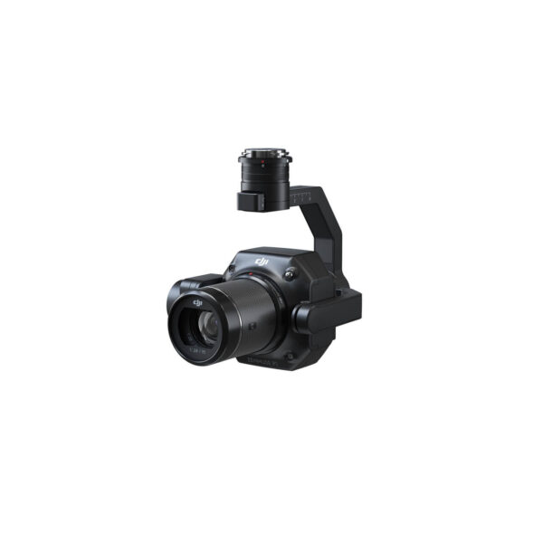
Zenmuse L2
× 1
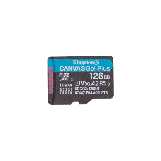
microSD Card (128GB)
× 1
Lens Cap
× 1
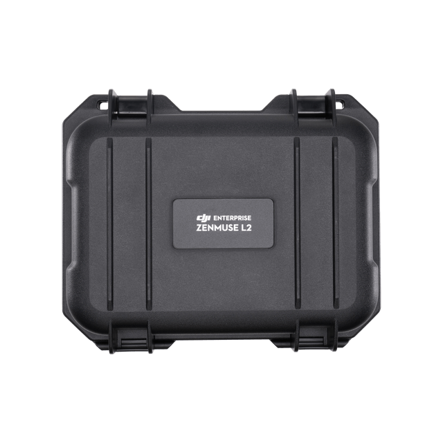
Storage Case
× 1
Lens Cleaning Cloth
× 1
Let’s Answer Your Questions
To ensure operation safety, if your product encounters flight accidents like collision, water damage, and signal interference within 12 months after activation, we will provide affordable replacements or free repairs according to the combo type.
The Worry-Free Basic Combo provides up to two affordable replacements. After paying the corresponding replacement fee, you can have your damaged product replaced with a well-functioning one*.
The Worry-Free Plus Combo provides a coverage amount equivalent to the provduct’s value. You can enjoy unlimited free repairs within the coverage amount.
* Replacement products are brand-new or equivalent to brand-new in performance and reliability. For each replacement, you will need to pay $899 / £749 / 799 € / AUD $1,499
The performance of the LiDAR has improved to about 1/5 of L1’s spot size when the object or area is 100 m from the LiDAR. The LiDAR’s penetration ability has been significantly increased, and both its detection range and accuracy have improved. The pixel size of the RGB camera has increased by 89% compared to L1’s 2.4 × 2.4μm. The LiDAR supports Laser Rangefinder (RNG).
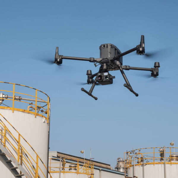
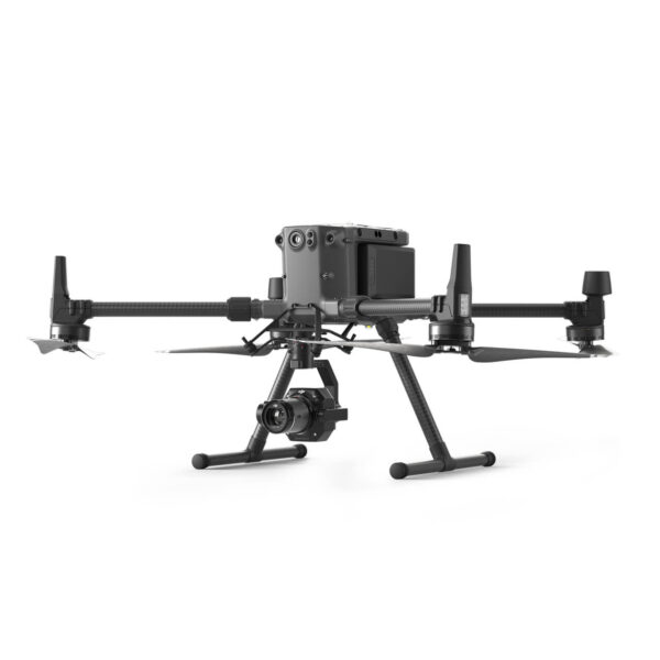
Zenmuse L2 is compatible with the Matrice 350 RTK and Matrice 300 RTK and only supports DJI RC Plus as the remote controller. Before using, please upgrade the firmware of the aircraft and remote controller to the latest version. To ensure mapping accuracy, make sure the L2 is mounted on a single downward gimbal connector with the cable connected to the right USB-C port (when facing the aircraft).
Zenmuse L2 can be widely used in multiple scenarios including topographic surveying and mapping, power line modeling, forestry management, surveying measurement, and more.
An SD card with a sequential writing speed of 50 MB/s or above and UHS-I Speed Grade 3 rating or above; Max capacity: 256 GB.
Lexar 1066x 64GB U3 A2 V30 microSDXC
Lexar 1066x 128GB U3 A2 V30 microSDXC
Kingston Canvas Go! Plus 128GB U3 A2 V30 microSDXC
Lexar 1066x 256GB U3 A2 V30 microSDXC
1. Ground point classification;
2. Output digital elevation model (DEM);
3. A new Accuracy Control and Check function that supports local coordinate system, to ensure the results reach surveying and mapping accuracy;
4. Optimization of the point cloud thickness between the flight strips, making it thinner and more consistent;
5. More comprehensive point cloud quality report.
When collecting point cloud data, the RGB camera can provide real-time color information for the data, and the photos taken can be used for reconstructing 2D RGB models. When there is no need to gather point cloud data, the RGB camera can take photos and videos, and collect images for reconstructing 2D or 3D RGB models
Reviews
There are no reviews yet.