Description
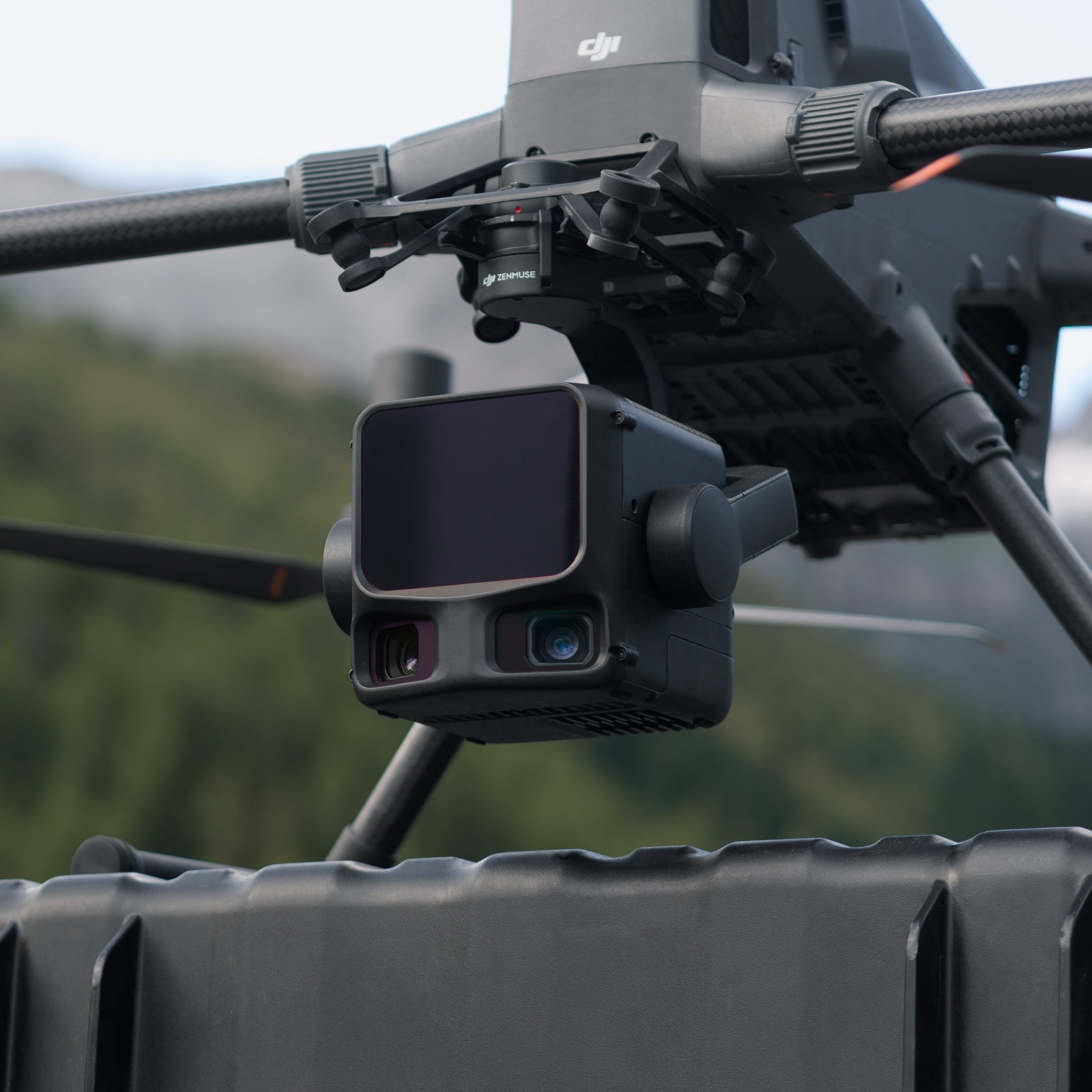
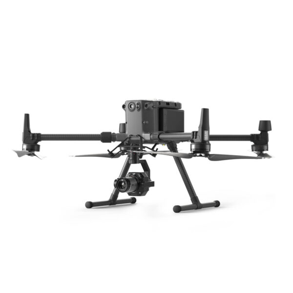
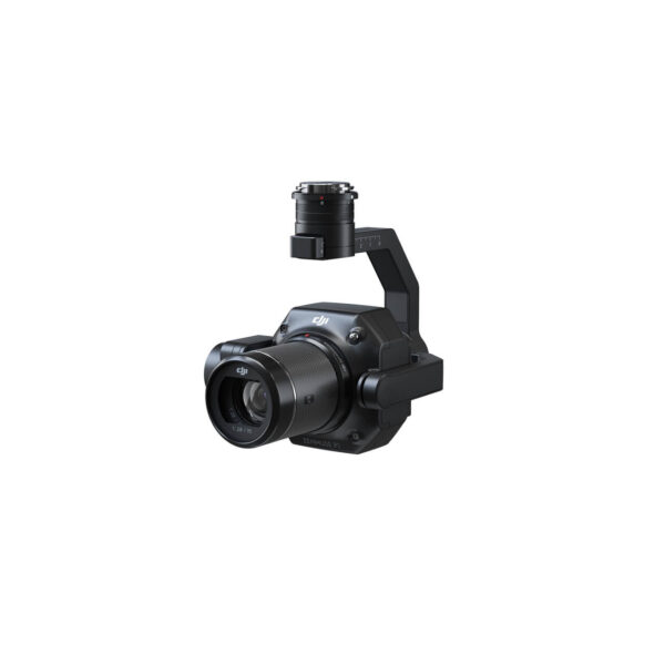
DJI Zenmuse L3 Ireland-LiDAR Payload for Matrice 400 in Ireland
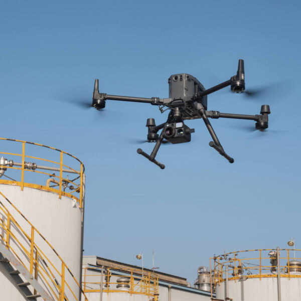
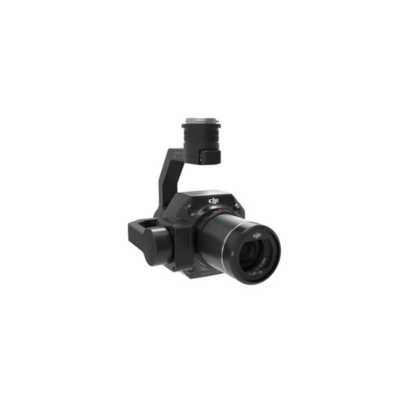
DJI Zenmuse L3 Ireland is a high-precision LiDAR payload designed for the Matrice 400 platform. Built for professional surveying, mapping and inspection projects, it delivers accurate point cloud data and integrated RGB imaging in a single compact system. Available in Ireland, the Zenmuse L3 supports demanding drone mapping workflows across construction, infrastructure and energy sectors.
LiDAR Mapping & Planning Applications
The Zenmuse L3 enables efficient site planning, topographic surveys and 3D modelling using high-density LiDAR point cloud data. It is ideal for construction planning, infrastructure development, land surveying and environmental assessment projects across Ireland. When paired with the Matrice 400, it delivers stable data capture for professional drone mapping operations requiring accuracy and reliability.
Take a Closer Look
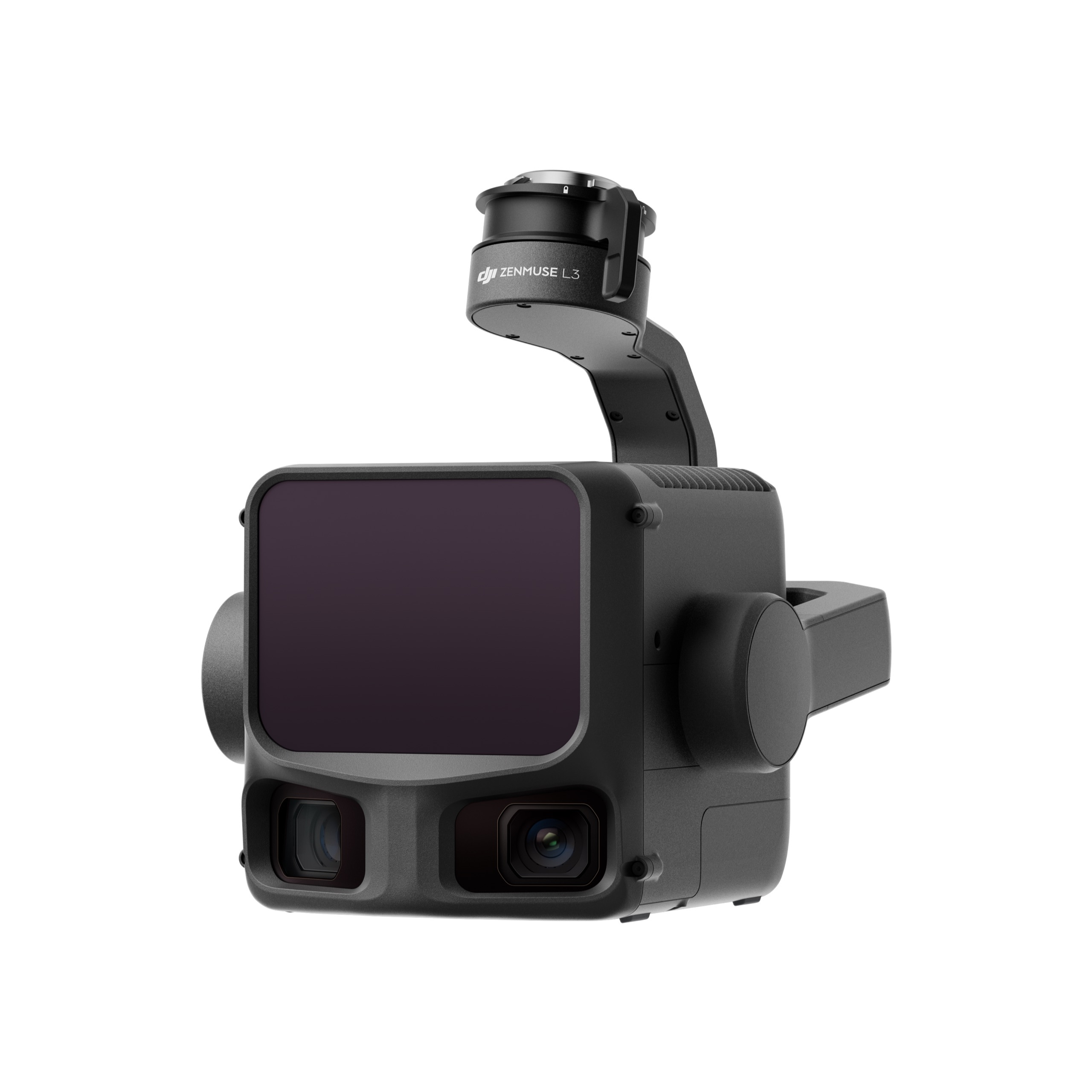
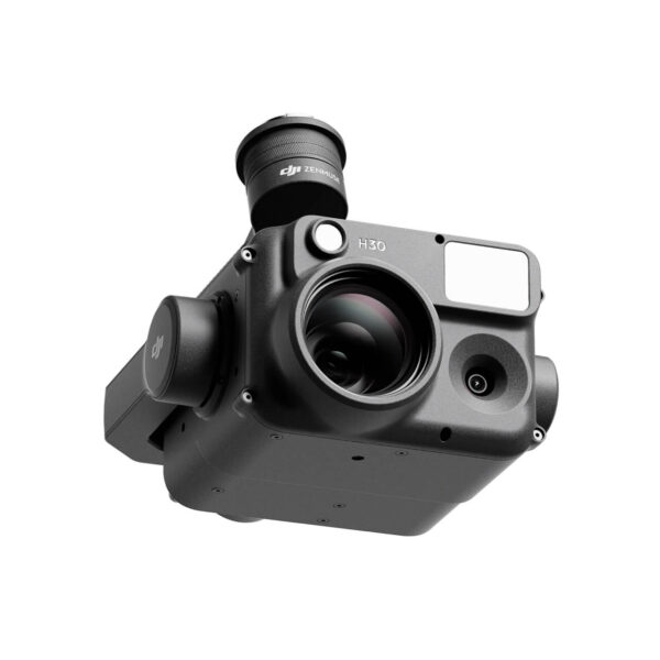
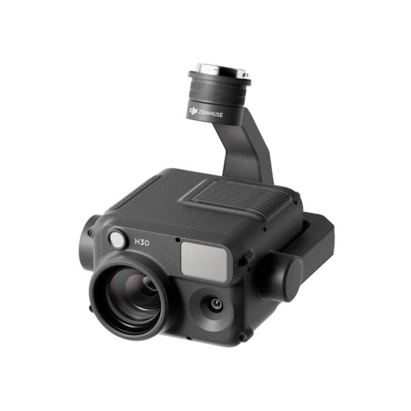
1535nm Long-Range LiDAR
Zenmuse L3 achieves a maximum detection range of 950 m at a pulse rate of 100 kHz, tested under 100 klx ambient light and on objects with 10% reflectivity
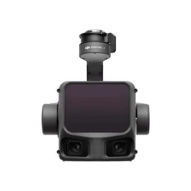
Dual 100MP RGB Mapping Camera System
Equipped with dual 100MP 4/3 CMOS RGB sensors and a mechanical shutter, Zenmuse L3 delivers significantly enhanced accuracy and efficiency. Pixel binning supports an effective 25MP resolution.
30% Detection Range Increase
L2 reaches a detection range of up to 250 m (10% reflectivity, 100 klx) and 450 m (50% reflectivity, 0 klx). [3] The standard operational altitude now extends up to 120 meters.
Superior Penetration
With a spot size of 4×12 cm at 100m, only a fifth of that of L1, L2 not only detects smaller objects and delivers more detailed models, but can generate DEM.
High Efficiency
When mounted on DJI Matrice 400, Zenmuse L3 delivers outstanding efficiency. At a flight altitude of 300 m, a single flight can cover up to 10 km², enabling up to 100 km² of daily coverage
End-To-End Solution
Zenmuse L3 integrates with DJI’s ecosystem to deliver an end-to-end mapping solution. Enjoy simpler, unified workflows from data acquisition and processing to application.
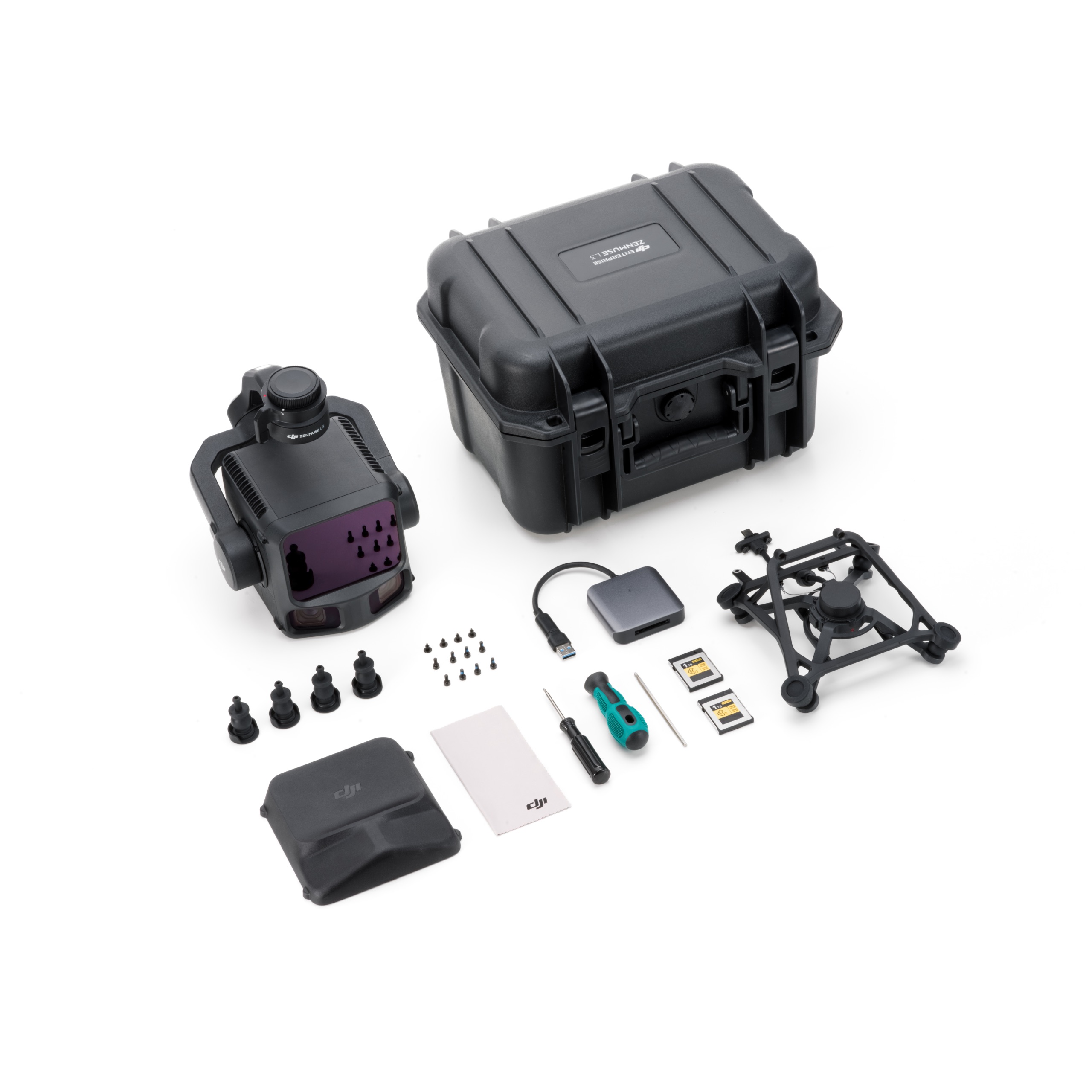
In the Box
Zenmuse L3
× 1
DJI Matrice 400 Carrying Case Insert (Zenmuse L3)
× 1
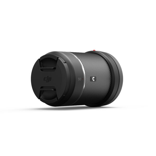
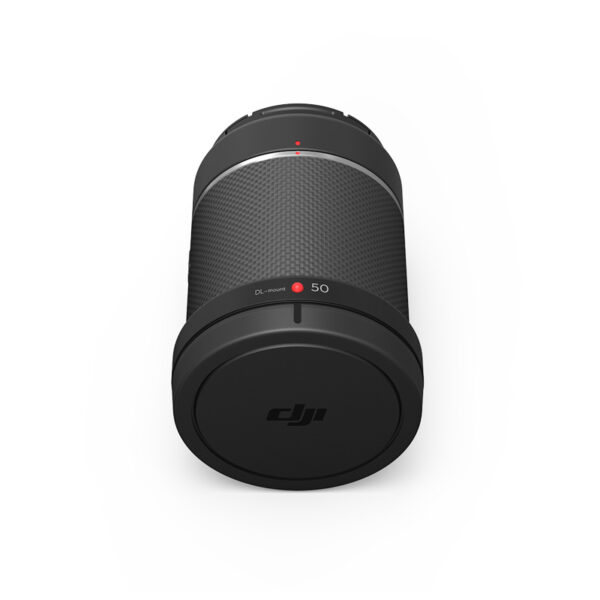
Zenmuse L3 Lens Cap
× 1
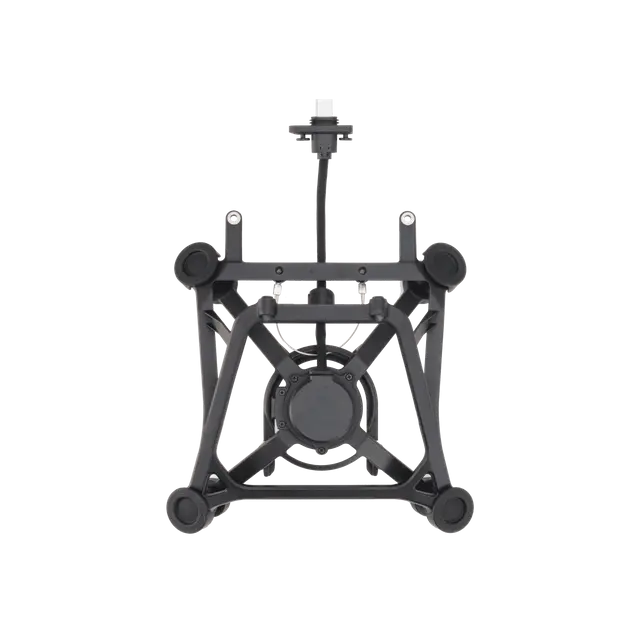
Zenmuse L3 Single Gimbal Connector
× 1
CFexpress™ Type B Memory Card (1 TB)
× 2
Screws and Tools
× 1
CFexpress™ Type B Card Reader
× 1

Zenmuse L3 Gimbal Damper (4 pcs)
× 1
Lens Cleaning Cloth
× 1
Zenmuse L3 Storage Case
× 1
Frequently Asked Questions
Compatible with DJI Matrice 400, and requires the use of the Zenmuse L3 single gimbal connector. Please ensure that the gimbal connector is connected to the E1 port on the aircraft’s underside. Otherwise mapping accuracy will be reduced.
290 m (center), 200 m (edge)@10% reflectivity, 2000 kHz, recommended operating altitude ≤ 50 m
400 m (center), 280 m (edge)@10% reflectivity, 1000 kHz, recommended operating altitude ≤ 100 m
700 m (center), 500 m (edge)@10% reflectivity, 350 kHz, recommended operating altitude ≤ 300 m
950 m (center), 650 m (edge)@10% reflectivity, 100 kHz, recommended operating altitude ≤ 500 m
1. Range Definition: The range is defined as the distance at which 50% of the emitted laser pulses are detected. If a laser beam hits more than one subject, the total laser transmitter power is split and the achievable range is reduced.
2. Test Conditions: 100 klx ambient light, within the central area of the FOV, using a flat subject with a size larger than the laser beam diameter, a perpendicular angle of incidence, and an atmospheric visibility of 23 km.
3. The maximum detection range is 900 m by default. For a longer range, contact DJI support or an authorized dealer.
Hardware performance improvements:
1. Zenmuse L3 delivers enhanced LiDAR performance. When measured at the same distance, Zenmuse L3 produces a laser spot about one-fifth the size of L2 and supports up to 16 returns. This means much stronger penetration capability, greater range, and higher ranging accuracy.
2. The new dual 100MP RGB mapping camera system brings a horizontal FOV of up to 107°, compared to L2’s 73.7°.
3. POS accuracy is improved to 0.02° for heading, and 0.01° for roll and pitch.
Accuracy and efficiency improvements:
1. Zenmuse L3’s vertical accuracy is better than 3 cm at 120m altitude, better than 5 cm at 300 m, and better than 10 cm at 500 m. The point cloud thickness produced by Zenmuse L3 is only half that of Zenmuse L2, supporting advanced analysis and high-accuracy applications.
2. With a smaller laser spot and higher single-pulse energy, Zenmuse L3 offers superior penetration capability. In terrain mapping and similar applications, it captures more ground points with greater completeness, significantly improving the accuracy and integrity of terrain data for precise surface fitting and reconstruction.
3. When mounted on DJI Matrice 400, Zenmuse L3 delivers outstanding efficiency. At a flight altitude of 300 m, a single flight can cover up to 10 km², enabling up to 100 km² of daily coverage.
The dual RGB mapping camera system expands the horizontal FOV to 107°, enabling each acquisition to cover a broader area. Even with a 20% LiDAR side overlap ratio, you can capture data for both digital orthophoto maps (DOM) and digital elevation models (DEM) in a single flight, thereby greatly improving operational efficiency.
DJI Matrice 400 supports Real-Time Follow at altitudes from 30 to 300 m.
Reviews