DJI Zenmuse P1 | Full-Frame Photogrammetry Camera for Surveying

0 Reviews Write a review
Availability In Stock

Original price was: €6,155.01.Current price is: €6,088.50. incl. VAT (4,950.00 excl. VAT)

-1%

Frequently Bought Together

DJI Zenmuse P1 main product image for photogrammetry, mapping and surveying in Ireland+DJI Matrice 400 main product image for industrial inspection, mapping and public safety operations in Ireland
Price for all:   18,387.27

Description

Take a Closer Look

The New Benchmark for Aerial Surveying

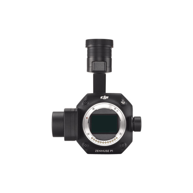
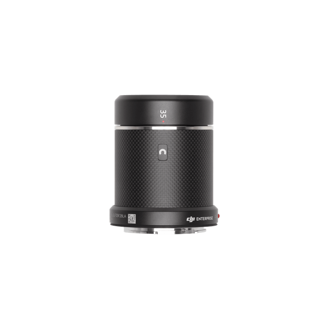
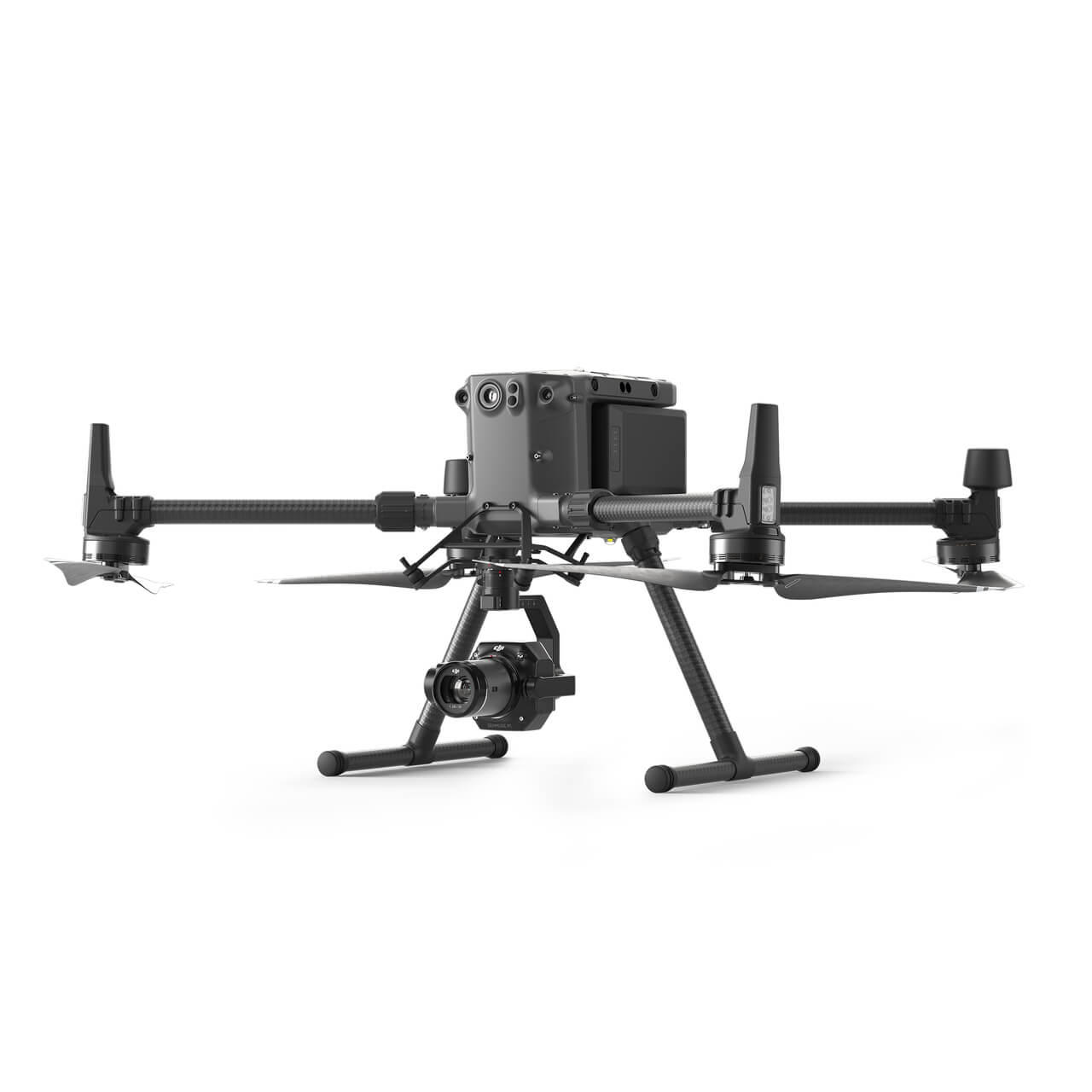
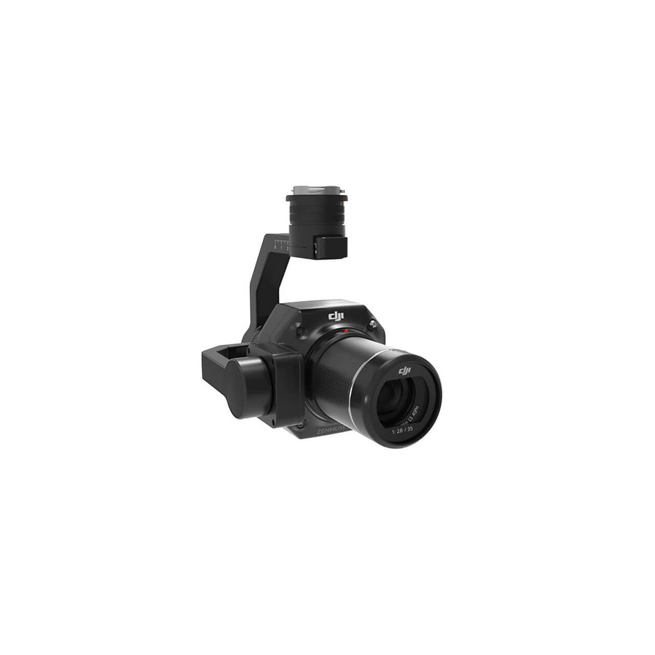
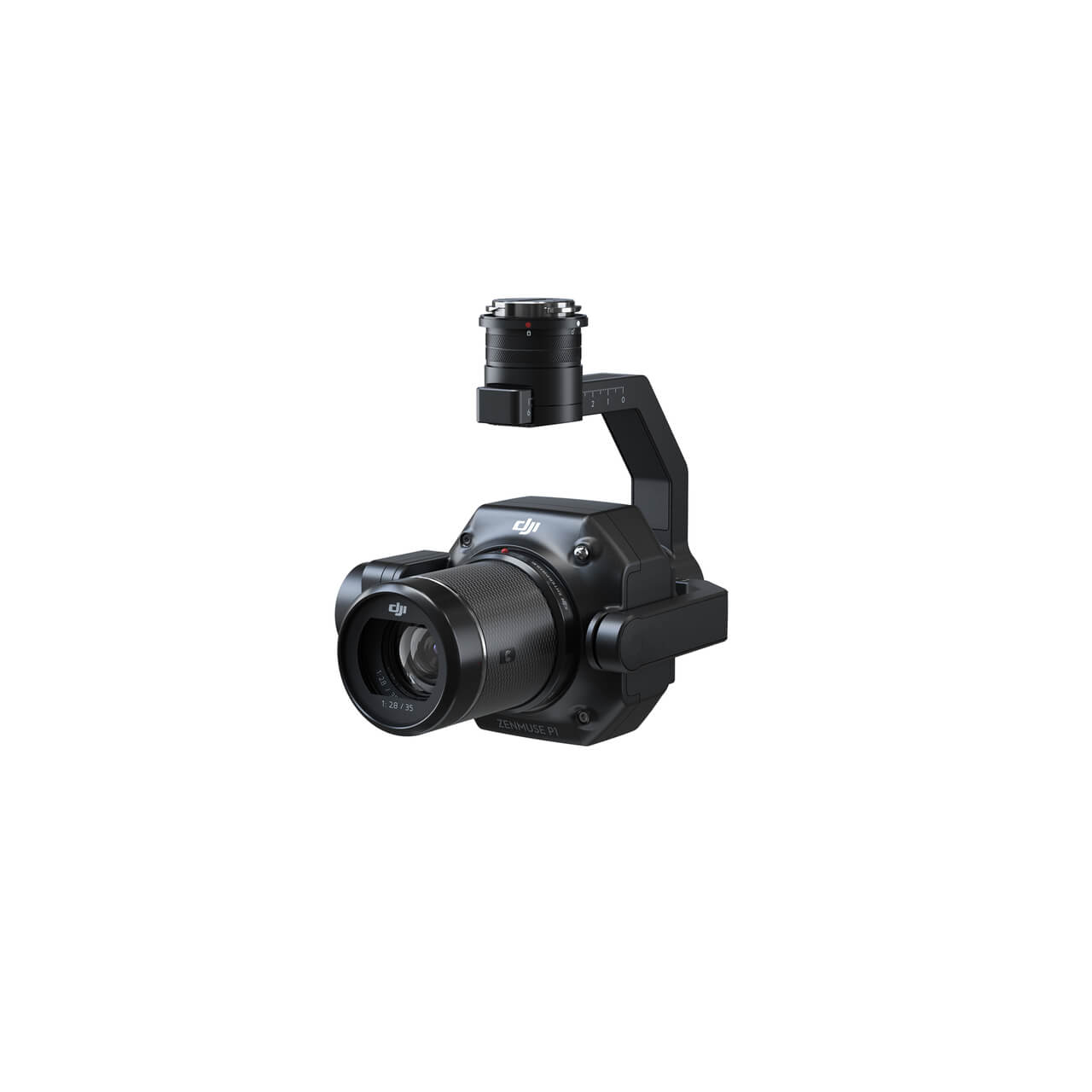
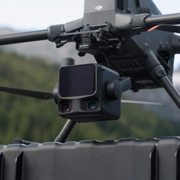
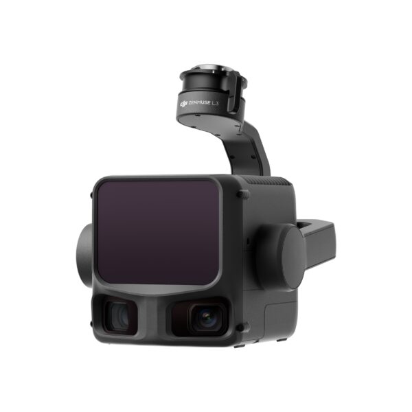
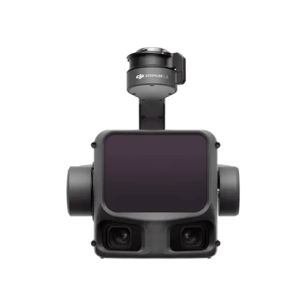
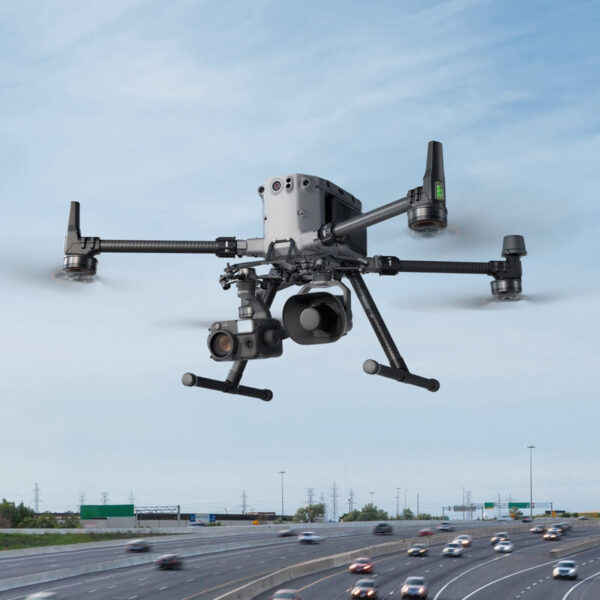
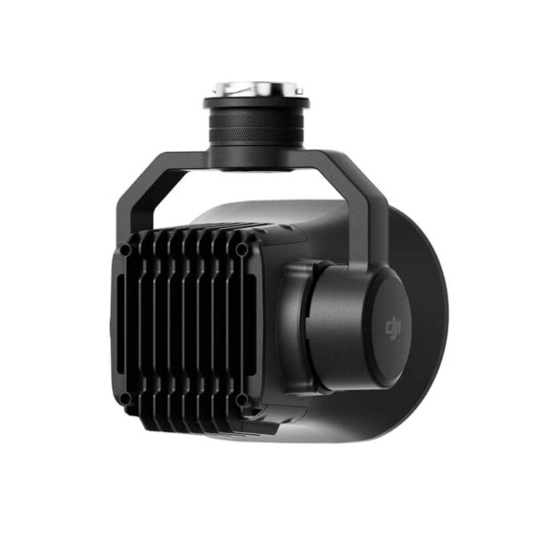
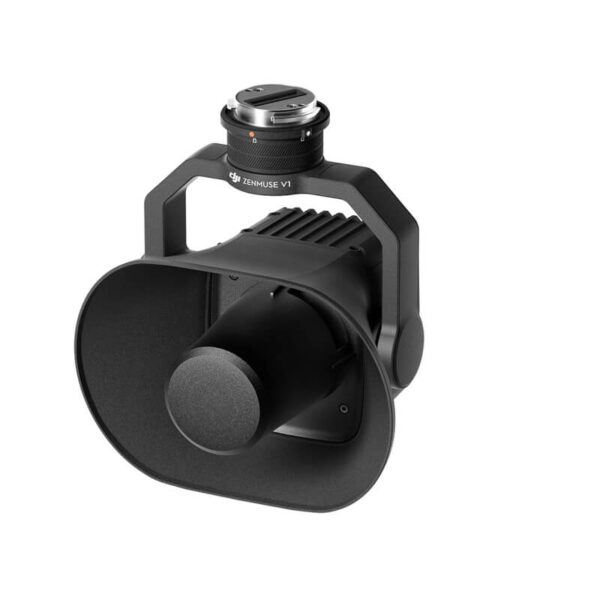
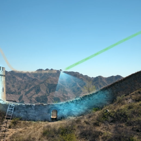
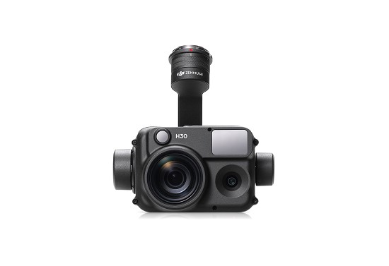
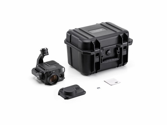
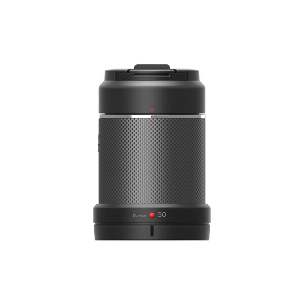
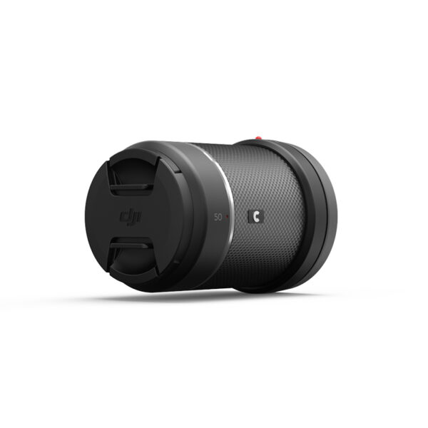
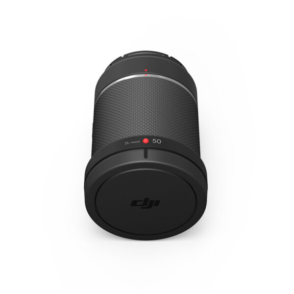
The Zenmuse P1 integrates a full-frame sensor with interchangeable fixed-focus lenses on a 3-axis stabilized gimbal. Designed for photogrammetry flight missions, it takes efficiency and accuracy to a whole new level.

Exceptional Efficiency

The P1 includes a full-frame, low-noise high-sensitivity sensor that can take a photo every 0.7 s during the flight, and covering 3 km2 [2] in a single flight.

Precision

Equipped with a mechanical global shutter, the new TimeSync 2.0 output accurate exposure intermediate moment, combined with the new generation of real-time pose compensation technology, to achieve microsecond time synchronization, to present users with centimeter-level accurate data.

Be flexible

The integrated 3-axis gimbal, a variety of prime lenses can be selected, and the intelligent swing shooting function can handle 2D, 3D and close photogrammetry data collection operations with ease.

Powerful performance and efficient operation Full-frame camera

– 45-million-pixel full-frame sensor
– 4.4 μm single-pixel size, low-noise and high-sensitivity imaging, extending the effective working time in a single day
– Minimum continuous photo interval of 0.7 seconds
– TimeSync 2.0 camera microsecond time synchronization with flight controller, RTK, and gimbal systems

Smart swing shooting

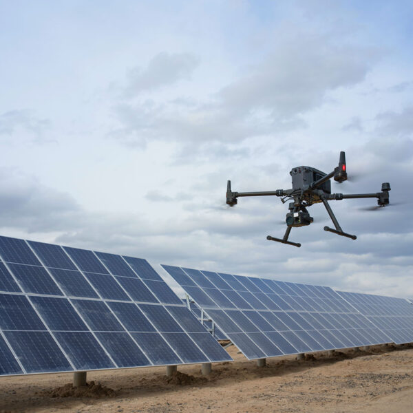
During the flight, the gimbal performs multi-angle swing shooting according to the intelligent trajectory, which greatly improves the efficiency of single-lens oblique photography, and the single-day operation area can reach 7.5 square kilometers [4] 。 Intelligent screening and shooting at the edge of the survey area, reducing the number of photos and improving post-processing efficiency by 20% [5]-50% [6].

Field inspection report

After the flight mission is completed, a field inspection report is generated immediately to quickly obtain information such as photo location, number of photos, RTK positioning status and position accuracy, etc., for the pilot to confirm the quality of field data on site.

In the Box

Gimbal And Camera for DJI Zenmuse P1
Gimbal and Camera

× 1

Sd Card (128GB) for DJI Zenmuse P1
SD Card (128GB)

× 1

Storage Case for DJI Zenmuse P1
Storage Case

× 1

Lens Rear Cap for DJI Zenmuse P1
Camera Body Cap

× 1

Camera Body Cap for DJI Zenmuse P1
Lens Rear Cap

× 1

Lens Cleaning Cloth for DJI Zenmuse P1
Lens Cleaning Cloth

× 1

Lens Cap for DJI Zenmuse P1
Lens Cap

× 1

DJI Dl 35mm Lens for DJI Zenmuse P1
DJI DL 35mm Lens

× 1

DJI Zenmuse P1 product feature image for photogrammetry, mapping and surveying
DJI Terra Activation Code

× 1

Reviews

There are no reviews yet.

Be the first to review “DJI Zenmuse P1 | Full-Frame Photogrammetry Camera for Surveying”
Review now to get coupon!

Your email address will not be published. Required fields are marked *

Back to Top

Search For Products

Product has been added to your cart