


Description
DJI Matrice 4E Ireland – Enterprise Mapping Drone
DJI Matrice 4E Ireland is a professional mapping drone designed for surveyors and construction professionals. Built for high-accuracy 3D modelling and site inspection. The Matrice 4E is not waterproof: avoid rain and contact with water. If rain starts during a flight, return and land promptly, then allow the aircraft to dry fully before reuse. Available from stock in Ireland with full local support
For Professional Roofers (Safety & Speed): Eliminate the need for ladders, scaffolding, or harnesses during initial assessments. Capture a complete, high-resolution view of damaged tiles, flashing, or chimneys in minutes. Quote jobs based on accurate measurements, not estimates.
For Solar PV Installers (Precision Planning): Use the included DJI Terra software to create a 3D digital twin of the client’s roof. Measure slope, aspect, and area with centimeter precision to design the perfect panel layout and predict shadow casting.
For Surveyors (Mechanical Shutter Advantage): The Matrice 4E uses a 20MP 4/3-inch wide camera with a mechanical shutter for image-based mapping. Agree the coordinate reference, capture plan and independent checkpoints with your survey team before assessing the delivered accuracy. Our earthworks survey workflow explains the brief and verification process. If you need radiometric thermal records, compare the DJI Matrice 4T.
Centimeter-Level Accuracy in Ireland: Includes RTK module and 4G Dongle support. Compatible with Irish Ntrip networks (such as OSi or VRS Now) for survey-grade precision.
High-Performance Optics: 20MP Wide Camera (Mechanical Shutter) + 48MP Tele Camera with up to 112x Hybrid Zoom for inspecting fine details like cracks or rust from a safe distance.
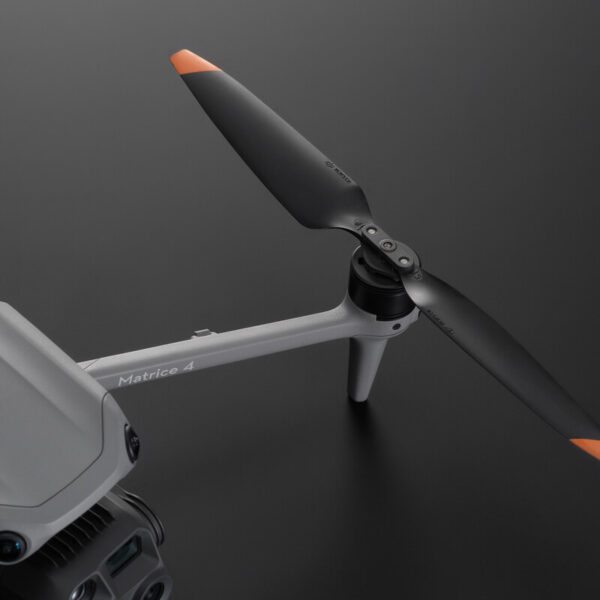
Maximum Efficiency: Maximum flight time is 49 minutes with standard propellers or 46 minutes with low-noise propellers. DJI measured this at approximately 9 m/s, without payload or wind, until the battery reached 0%. Allow a safe battery reserve; actual working time varies with conditions and accessories.
Irish Drone is based in Ireland and offers fast EU shipping, local support, and 1-Year Free DJI Care with every order.
Purchase a drone from our store and receive free A2 Certificate training and certification. Each flight must still meet the applicable aircraft, operating category and local airspace requirements.
AI-Powered Recognition for Real-World Missions
IRPC offers custom AI solutions to meet your needs, including livestock, plant species, vessels, and wind turbine inspections.
Contact us to discuss your project

Get to Know the Matrice 4E
Exceptional Performance in Low-Light Operations
The DJI Matrice 4 Series is engineered for challenging lighting conditions. With enhanced wide-aperture cameras, a dedicated Night Scene Mode, and advanced low-light fisheye omnidirectional sensing, the Matrice 4E excels in environments where visibility is limited. For critical missions like search and rescue, the Matrice 4T goes further—offering built-in NIR (Near-Infrared) illumination and support for high-resolution thermal imaging, ensuring reliable data capture even in darkness.
Long-Range Zoom for Precision Inspections
The DJI Matrice 4 Series is built for high-precision inspections. Its medium telephoto camera can detect fine details such as screws and cables from a 10-metre distance, while the upgraded tele camera clearly reads signage and gauges up to 250 metres away. This capability ensures accurate remote inspections for infrastructure, utilities, and industrial assets—reducing risk while improving data quality.
Oblique, Ortho, and 3D Mapping in One Flight
The DJI Matrice 4E is built for efficient and accurate aerial surveying. With support for 5-directional oblique capture and 3-directional ortho capture, it ensures comprehensive image coverage in every mission. Smart 3D Capture enables detailed structure modeling, while rapid 0.5-second shooting intervals accelerate photogrammetry workflows. Combined with DJI Pilot 2, the system can auto-generate high-quality survey reports on site—making it ideal for land surveying, construction, and solar design.
Safe, Stable Flights—Anywhere
The DJI Matrice 4 Series combines GNSS and vision-based positioning to ensure precise navigation, even in GPS-denied environments. O4 Enterprise has a maximum transmission distance of 12 km under CE test conditions, without obstacles or interference. Actual range varies. This one-way communication test figure is not a return-flight range or a permitted flight distance. The optional DJI Cellular Dongle 2 can improve connection stability in complex terrain. Whether flying in urban canyons or remote industrial sites, the Matrice 4 delivers safe and confident flight performance for mission-critical operations.
Enterprise Accessories for Every Mission
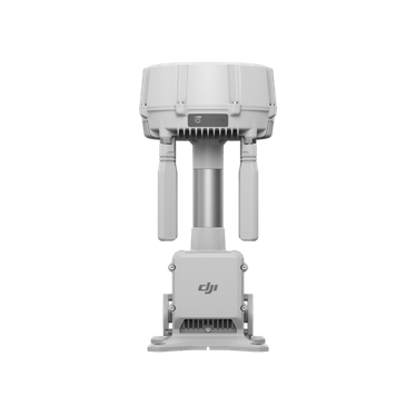
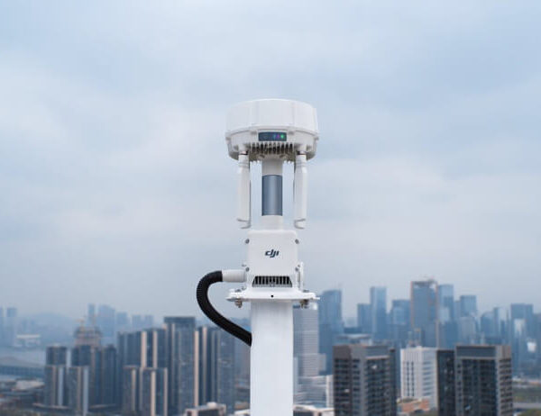
Unlock the full potential of your Matrice 4 with DJI’s advanced enterprise accessories. The gimbal-following AL1 Spotlight ensures clear visuals during night operations, while the real-time voice speaker improves communication in public safety scenarios. The D-RTK 3 Multifunctional Station provides centimetre-level accuracy for large-scale mapping, and the RC Plus 2 Enterprise remote offers superior control, visibility, and reliability in the field. These upgrades equip your drone for the most demanding commercial tasks.
Matrice 4E Application Scenarios
High Precision Mapping Drone
Use the Matrice 4E as a high precision mapping drone for surveying, 2D/3D mapping, and site measurement workflows.
Commercial Drone for Construction
For construction teams, it works as a commercial drone for construction—supporting progress tracking, volumetrics, and site surveying.
Construction & Surveying Drone
The DJI Matrice 4E is designed as a high precision mapping drone for professional surveying, aerial imaging, and construction site documentation.
With its advanced camera system and mapping capabilities, it enables teams to capture accurate site data for construction planning, infrastructure monitoring, and large-scale land surveys.
This makes the Matrice 4E an ideal commercial drone for construction, helping engineers and project managers monitor site progress, generate mapping data, and improve project efficiency.
In the Box

DJI Matrice 4E
× 1

DJI Matrice 4 Series Battery
× 1

microSD Card 64GB
× 1

DJI RC Plus 2 Enterprise
× 1

DJI 100W USB-C Power Adapter
× 3

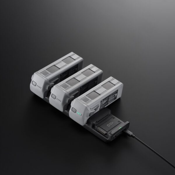
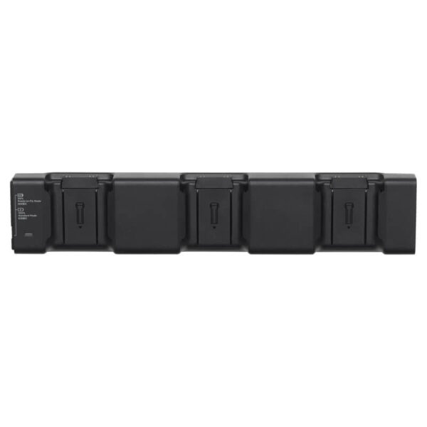
DJI Matrice 4 Series Charging Hub
× 1

DJI Matrice 4E Gimbal Protector
× 1

DJI Cellular Dongle 2 Pry Bar
× 1

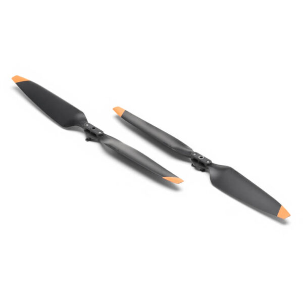
DJI Matrice 4 Series Propellers
× 3

100W Power Adaptor AC Cable
× 1

USB-C to USB-C Data Cable
× 1

DJI Matrice 4 Series Storage Case
× 1
Let’s Answer Your Questions
DJI Matrice 4 Series includes two versions — Matrice 4T and Matrice 4E.
Matrice 4E is designed for professional applications such as land surveying, 3D mapping, solar design, architectural planning, and project progress management.
With its open AI ecosystem, it can automatically identify objects such as vehicles and vessels, and even allows users to train their own recognition models to expand its capabilities for customised missions.
Matrice 4T is equipped with a 1/1.3-inch CMOS 48MP wide-angle camera, a 1/1.3-inch CMOS 48MP medium telephoto camera, a 1/1.5-inch CMOS 48MP telephoto camera, a thermal imaging camera, NIR auxiliary light, and a laser rangefinder module.
It offers thermal perception, night vision, and advanced multi-sensor imaging, making it ideal for inspection, search and rescue, and security operations.
Meanwhile, the Matrice 4E features a 4/3-inch CMOS 20MP wide-angle camera, a 1/1.3-inch CMOS 48MP medium telephoto camera, a 1/1.5-inch CMOS 48MP telephoto camera, and a laser rangefinder module, providing exceptional imaging precision and versatility across commercial and industrial missions.
Yes
Yes, we do. Please contact info@irpc.ie for rental inquiries.
The DJI Matrice 4 Series batteries can only be charged using the DJI Matrice 4 Series Battery Charging Hub.
Yes. The DJI Matrice 4E is a Matrice 4E enterprise drone designed for professional mapping and data capture missions.
Yes, it’s widely used as an aerial imaging drone for surveying, construction documentation, and mapping.













Reviews