
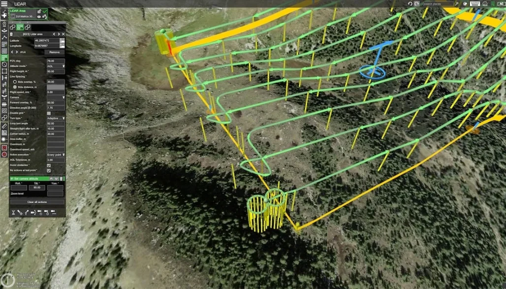
Environmental monitoring is most valuable when it produces repeatable evidence, not just attractive aerial images. This guide explains how Irish organisations can use drone mapping to monitor peatlands, forestry, river corridors, coastal change, habitats and managed sites with the right DJI enterprise workflow.
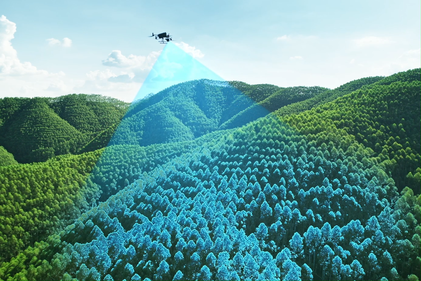
Across Ireland, environmental teams are being asked to monitor larger areas, document change more often and provide clearer evidence for planning, funding, compliance and restoration reports. Traditional field surveys remain essential, but they can be slow, weather-dependent and difficult on wet, steep or remote sites. Drone mapping helps fill the gap by creating a consistent spatial record that can be compared from one survey to the next.
Start with the environmental question before choosing the drone
The biggest mistake in environmental drone projects is choosing the aircraft first. A better approach is to define the monitoring question. Are you measuring landform change, vegetation condition, water movement, erosion, habitat extent or site compliance? Each answer points to a different sensor and workflow.
When shape matters
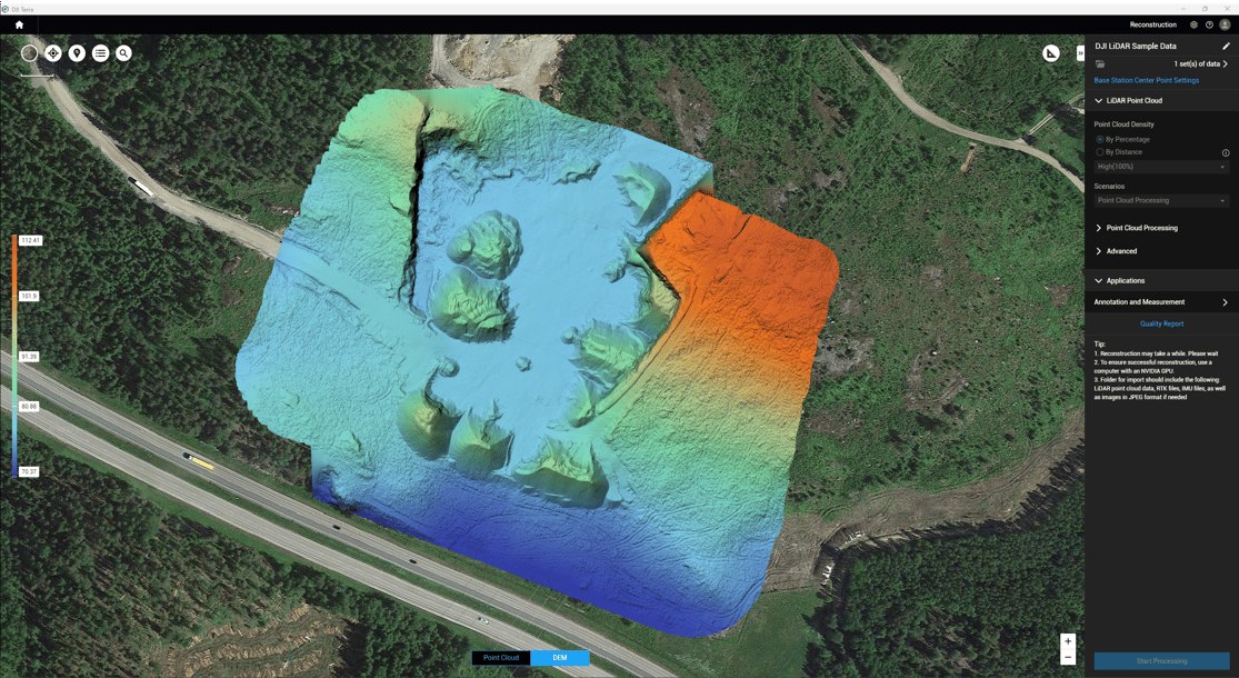
Use LiDAR or high-accuracy mapping when you need ground levels, drainage patterns, embankments, canopy structure, restoration earthworks or erosion features.
When documentation matters
Use RGB mapping when you need orthomosaics, inspection imagery, progress evidence, site condition records or clear maps for reports.
When vegetation health matters
Use multispectral capture when the aim is to identify vegetation vigour, stress, variation, growth patterns or areas that need field checking.
Match the data layer to the monitoring objective
A drone is only one part of the solution. The final output is what matters: an orthomosaic, point cloud, terrain model, vegetation index, change map or compliance report. The table below shows how to match common environmental objectives with the most relevant drone data type.
| Monitoring objective | Recommended data layer | Typical outputs | Best DJI fit |
|---|---|---|---|
| Peatland restoration and rewetting | LiDAR + RGB repeat mapping | Terrain models, drainage interpretation, erosion records, restoration progress maps | Matrice 400 + Zenmuse L3; Matrice 4E for lighter repeat RGB work |
| Forestry structure and access planning | LiDAR, RGB and multispectral depending on the question | Canopy structure, slope and access mapping, storm damage evidence, vegetation condition layers | Matrice 400 + Zenmuse L3; Mavic 3 Multispectral for vegetation health |
| River corridors and floodplain features | RGB mapping + LiDAR where terrain detail matters | Bank condition maps, outfall records, riparian vegetation mapping, change comparison | Matrice 4E for compact mapping; Matrice 400 + Zenmuse L3 for complex terrain |
| Coastal erosion and shoreline change | Repeat RGB mapping and terrain models | Cliff edge records, dune movement maps, storm impact documentation, seasonal change reports | Matrice 4E for frequent field deployment; Matrice 400 + Zenmuse L3 for high-detail terrain |
| Habitat condition and biodiversity projects | RGB + multispectral + field validation | Habitat extent maps, vegetation pattern layers, field survey prioritisation, time-series comparison | Mavic 3 Multispectral; Matrice 4E for RGB baseline mapping |
| Landfill, quarry or industrial environmental monitoring | Repeat RGB, 3D models and scheduled observation | Drainage checks, restoration evidence, settlement/stockpile records, perimeter change monitoring | Matrice 4E, Matrice 400, or Dock 3 workflow depending on frequency |
Recommended DJI platforms for environmental monitoring
There is no single best environmental drone for every Irish project. The right choice depends on site size, required accuracy, sensor type, flight frequency, access conditions and the reporting output needed.
DJI Matrice 400 + Zenmuse L3: best for high-accuracy environmental mapping
For larger or more demanding environmental mapping jobs, the strongest current DJI enterprise option is DJI Matrice 400 paired with Zenmuse L3. Matrice 400 is designed as a flagship enterprise platform with up to 59 minutes of flight time and up to 6 kg payload capacity. Zenmuse L3 adds a long-range 1535 nm LiDAR, dual 100 MP RGB mapping cameras and a high-precision positioning and orientation system.
This combination is particularly relevant when the project needs accurate terrain, canopy structure, drainage interpretation, erosion analysis or high-density geospatial data. In Irish environmental work, that makes it a strong fit for peatland restoration, forestry structure, floodplain modelling, upland catchments, coastal landform mapping and difficult ground where walking every section is inefficient or unsafe.
DJI Matrice 4E: best compact option for RGB mapping
DJI Matrice 4E is the practical choice when teams need a portable mapping platform rather than a heavier LiDAR aircraft. It is suited to smaller and medium-sized environmental sites where fast deployment, repeat flights and clean RGB mapping outputs are more important than carrying a specialist sensor.
Typical uses include habitat baseline mapping, coastal walkover support, river corridor documentation, construction-adjacent environmental checks, industrial estate monitoring, quarry restoration records and visual evidence for reports.
DJI Mavic 3 Multispectral: best for vegetation condition
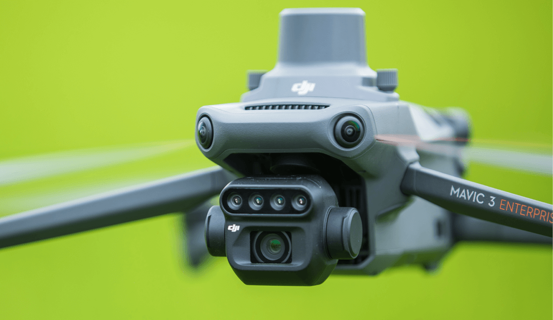
DJI Mavic 3 Multispectral is most useful when the monitoring question is about vegetation. It combines a 20 MP RGB camera with four 5 MP multispectral cameras covering green, red, red edge and near-infrared bands. This makes it useful for vegetation indices and pattern detection, including workflows that use NDVI, GNDVI or NDRE.
For Ireland, that can support woodland condition checks, grassland and wetland monitoring, replanting evaluation, riparian vegetation assessment, agricultural-environment schemes and fieldwork prioritisation. It should not be treated as a replacement for ecological survey work, but it can help teams decide where to investigate in more detail.
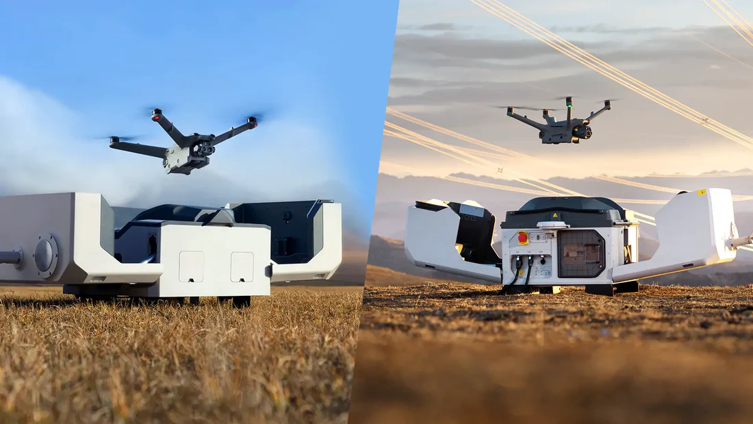
DJI Dock 3 + Matrice 4D / 4TD: best for frequent repeat observation
Some environmental sites need repeated observation rather than occasional survey visits. A docked workflow can help where the same area must be checked frequently, such as a landfill cap, utility corridor, quarry boundary, industrial perimeter, flood-prone zone or managed habitat restoration site. In those cases, DJI Dock 3 with Matrice 4D or Matrice 4TD can support scheduled remote operations, provided the operation is planned within the correct regulatory pathway.
Important buying point: avoid choosing a drone only because it has the highest specification. For environmental monitoring, the best system is the one that produces the right evidence repeatedly, safely and within the project budget.
Irish environmental monitoring use cases
1. Peatland restoration and rewetting
Peatlands are one of the most important environmental monitoring areas in Ireland. Drones can help document blocked drains, bunds, erosion channels, scrub encroachment, surface wetness patterns and restoration progress. A LiDAR workflow is especially valuable where small differences in terrain influence water movement and habitat recovery.
2. Forestry health, structure and storm damage
Forestry teams can use drone mapping to assess canopy condition, windthrow, access routes, slope constraints, replanting progress and compartment-level changes. Multispectral capture is useful when plant health is the focus, while LiDAR is stronger when the team needs structure, terrain or canopy-height information.
3. River corridors, floodplains and drainage features
River corridors are often hard to survey continuously on foot. Drone mapping can provide clear records of riverbank condition, erosion points, outfalls, riparian vegetation, floodplain features and post-storm changes. For catchment projects, repeatable drone data can support better prioritisation of field inspections.
4. Coastal erosion and shoreline change
Ireland’s exposed coastline makes repeat mapping valuable for cliff edges, dunes, storm damage, shoreline movement and coastal infrastructure pressure. By repeating flights with consistent settings, teams can compare change between survey dates and create clearer evidence for planning or intervention decisions.
5. Habitat management and biodiversity projects
Wetlands, grasslands, reedbeds, restoration sites and protected habitats can benefit from orthomosaics, multispectral layers and terrain models. Drone data helps show the spatial pattern of change, while ecologists and field teams provide the interpretation and ground validation.
6. Landfill, quarry and industrial environmental compliance
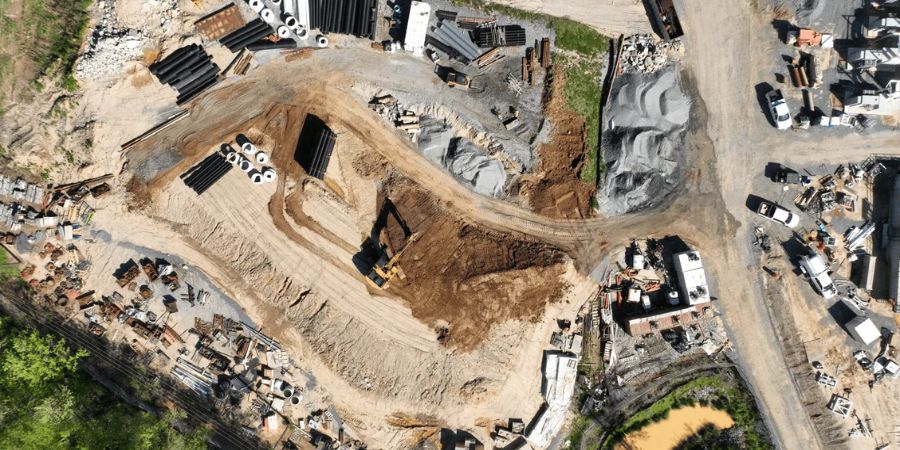
Environmental monitoring also applies to managed industrial sites. Drones can assist with drainage checks, site restoration evidence, boundary monitoring, settlement documentation, vegetation establishment and recurring compliance records. For these sites, consistency and auditability matter as much as image quality.

A practical workflow for repeatable environmental drone surveys
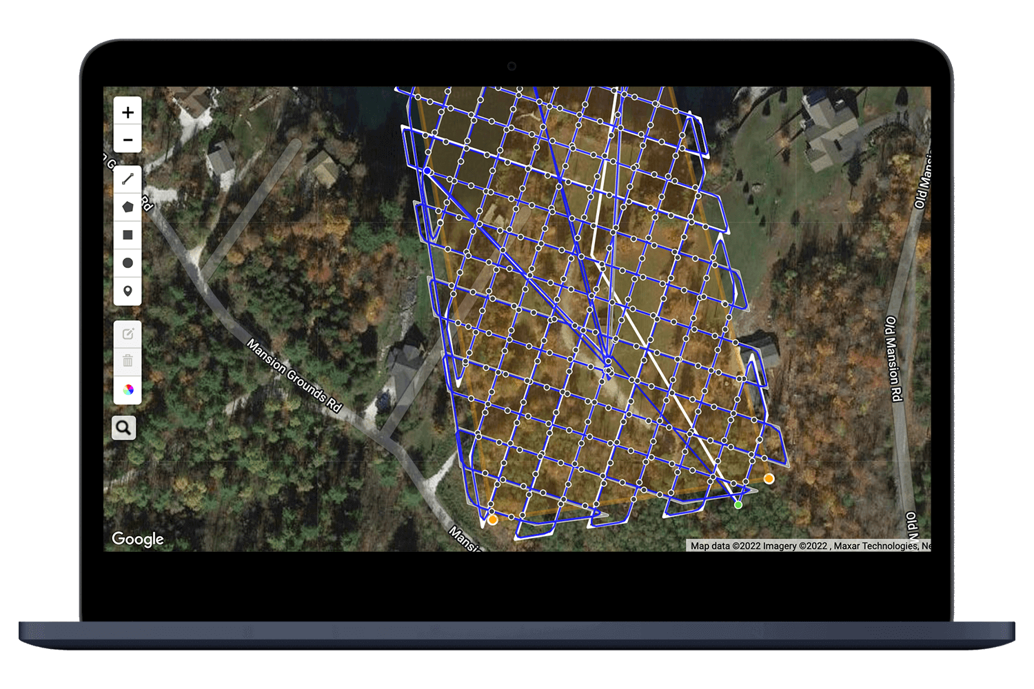
For environmental monitoring, one good flight is rarely enough. The real value comes from repeatable surveys that allow comparison. A simple, structured workflow helps avoid inconsistent data and weak reporting.
Define the evidence needed
Clarify whether the project needs an orthomosaic, point cloud, DEM, vegetation index, 3D model, change map or simple visual record.
Choose the sensor
Use LiDAR for terrain and structure, RGB for documentation and mapping, multispectral for vegetation condition, or a combined workflow for complex sites.
Plan repeatable flights
Keep altitude, overlap, camera angle, timing and mission boundaries consistent when comparing survey dates.
Control accuracy
Use suitable positioning, ground control or checkpoints when the output needs to support measurement rather than visual inspection only.
Process into usable outputs
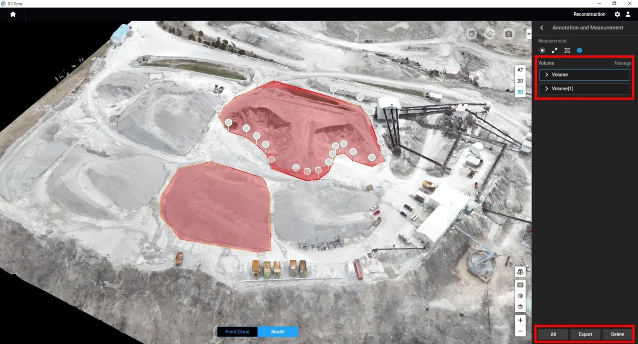
Turn raw imagery or point clouds into maps, models and layers that non-drone specialists can interpret.
Validate in the field
Use drone data to guide field checks, not replace them. Environmental interpretation should still be verified on site.
Regulatory basics for environmental drone work in Ireland
Environmental work still needs to follow Irish and European drone rules. In Ireland, the Irish Aviation Authority states that operators must register if the drone is over 250 g or if it has a camera or sensor. Many lower-risk drone surveys may sit within the Open Category when the operation remains within its limits, including visual line of sight and the general 120 m height limit. More complex work, including higher-risk sites or BVLOS-style operations, may require a Specific Category route.
Before flying, operators should check airspace, geozones, land access, privacy considerations, wildlife sensitivity, weather, site permissions and any project-specific safety requirements. Remote sites can still have restrictions, and environmental sensitivity can make timing and disturbance control especially important.
Practical Irish point: the best environmental drone projects are planned as data projects, not just flight projects. The aircraft captures the data, but the value comes from consistent mapping, careful processing, clear interpretation and repeatable reporting.
Which DJI setup should an Irish environmental team choose?
Use this simple selection guide:
- Choose Matrice 400 + Zenmuse L3 for LiDAR, high-accuracy terrain, forestry structure, peatland restoration, large-area mapping and complex terrain.
- Choose Matrice 4E for portable RGB mapping, habitat baseline surveys, coastal visual records, river corridor documentation and repeat site mapping.
- Choose Mavic 3 Multispectral for vegetation health, multispectral analysis, crop or grassland monitoring, forestry condition and fieldwork prioritisation.
- Choose Dock 3 + Matrice 4D / 4TD when the main requirement is frequent remote observation of a fixed site.
FAQ: drone mapping for environmental monitoring in Ireland
Is drone mapping accurate enough for environmental reporting?
Yes, when the workflow is designed properly. Accuracy depends on the drone, sensor, flight planning, positioning method, ground control, weather, site conditions and processing. For measurement-heavy reports, accuracy control should be planned from the start.
Can drones replace ecological field surveys?
No. Drone data can improve coverage, reveal patterns and support repeat monitoring, but ecological interpretation still needs qualified expertise and field validation.
Is LiDAR always better than photogrammetry?
Not always. LiDAR is stronger for terrain, structure and vegetation penetration. Photogrammetry is often more cost-effective for clear visual mapping and documentation. The best choice depends on the monitoring question.
How often should environmental sites be mapped?
It depends on the project. A coastal erosion site may need mapping after storms and seasonally. A peatland restoration project may need baseline, post-work and annual monitoring. Industrial compliance sites may need monthly or scheduled repeat checks.
What is the best drone for peatland monitoring?
For detailed peatland terrain and restoration monitoring, Matrice 400 with Zenmuse L3 is the strongest option. For simpler visual progress mapping, Matrice 4E can be more practical and cost-effective.
Final recommendation
For Irish environmental monitoring, the best drone setup is the one that answers the environmental question clearly and repeatedly. Use LiDAR when terrain and structure matter, RGB mapping when documentation and visual records matter, and multispectral capture when vegetation condition matters. With the right workflow, drone mapping can turn scattered site observations into a measurable record of environmental change.
This article is for general information only and is not legal advice. Always confirm the latest IAA, EASA and DJI product requirements before flight operations or procurement.

Leave a comment