

Drone Solutions for Farms, Estates and Forestry Teams
Irish agriculture and rural land management are broader than crop fields alone. Many organisations need to manage farmland, private estates, forestry blocks, farm buildings, solar PV installations, livestock areas, drainage issues, access roads and remote assets.
Drones help teams see land conditions faster, document issues clearly, reduce risky manual inspections and support better planning and maintenance decisions.
Where Drones Support Rural Operations



Key Agriculture and Rural Drone Applications


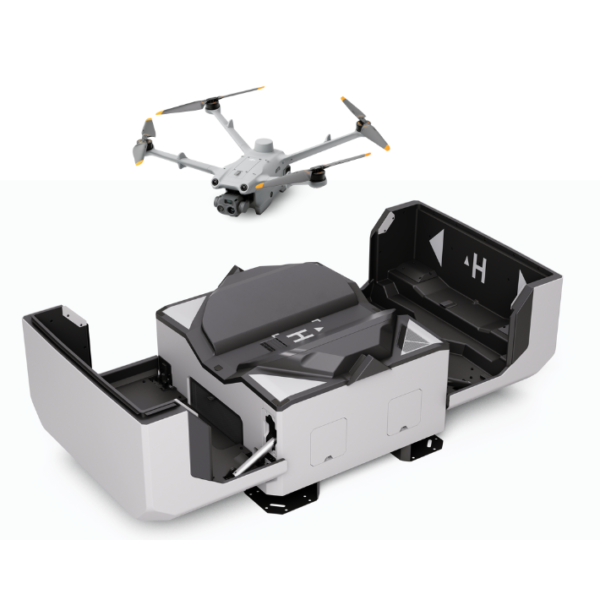
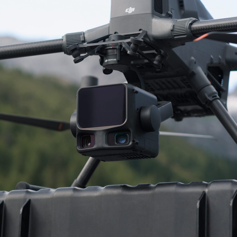
Recommended DJI Solutions for Agriculture, Estates and Forestry
Product selection should follow the job. Crop data, land mapping, inspection, forestry LiDAR and scheduled remote monitoring each require a different workflow.
Which Drone Workflow Fits Your Rural Operation?
| Use Case | Recommended Solution | Best For | Notes |
|---|---|---|---|
| Crop health monitoring | Mavic 3 Multispectral | Crop and vegetation data | Best when crop analysis is the main objective. |
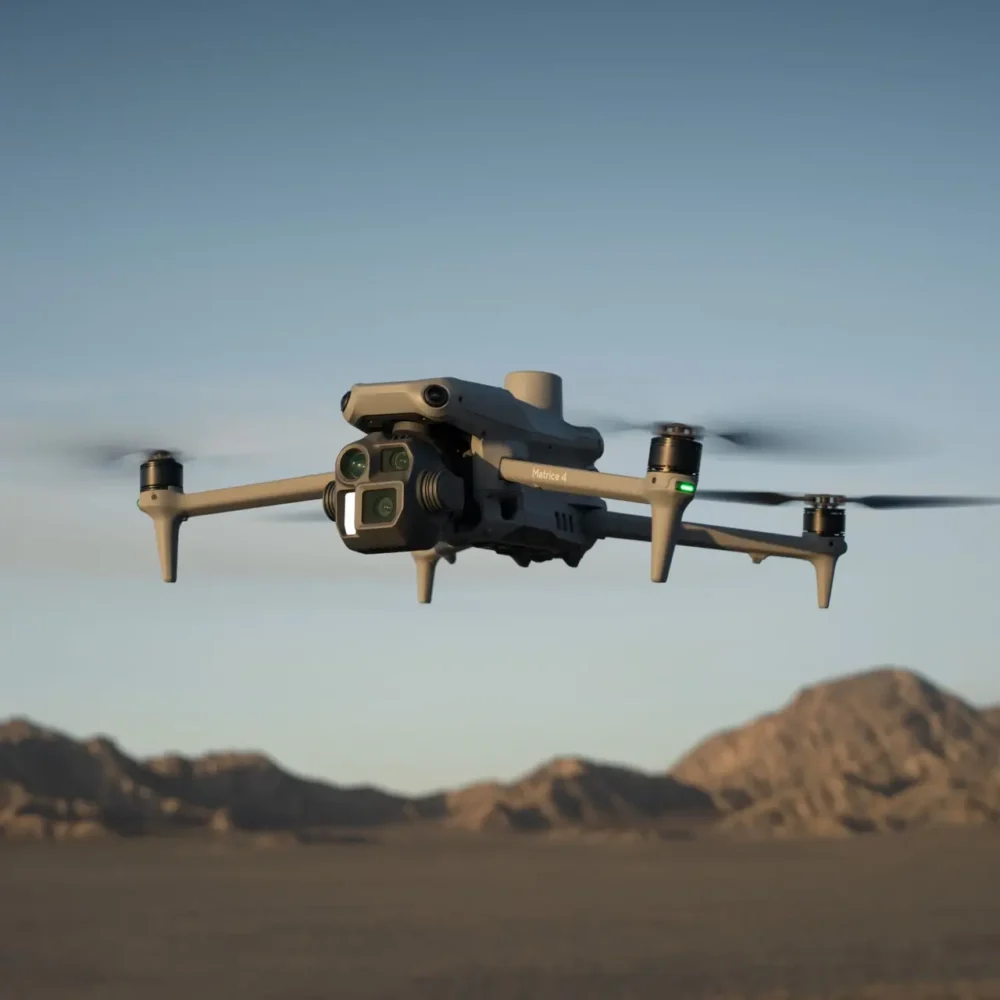
| Field mapping | Matrice 4E | Survey and land records | Useful for boundaries, routes and field layout. |
| Drainage planning | Matrice 4E | Aerial mapping data | Supports review of field conditions and waterlogging patterns. |
| Livestock checks | Matrice 4T | Visual and thermal awareness | Useful for large areas and low-light checks. |
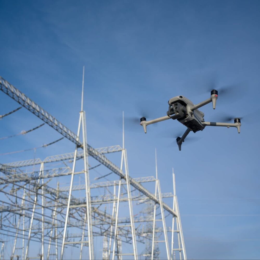
| Farm roof inspection | Matrice 4T | Building and thermal inspection | Reduces the need for manual access. |
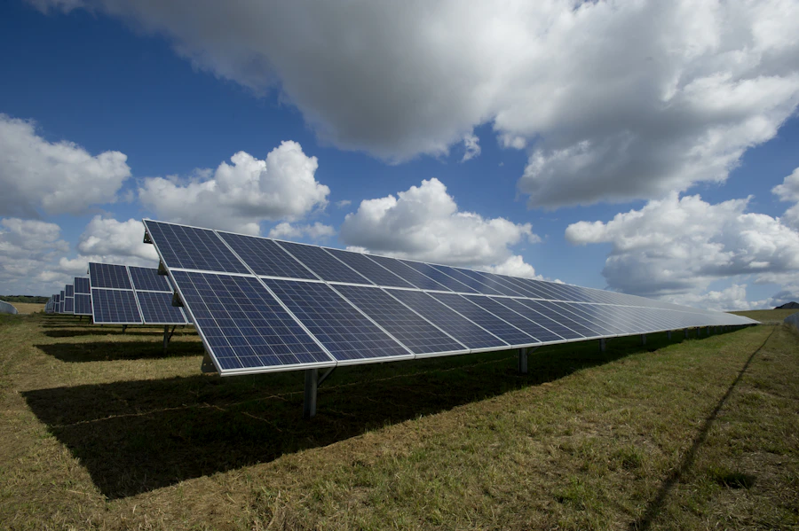
| Solar PV on farms | Matrice 4T | Thermal and visual checks | Can support scheduled solar inspection records. |
| Estate monitoring | Matrice 4E / Matrice 4T | Land records and inspection | Choose mapping or thermal depending on the job. |
| Forestry mapping | Zenmuse L3 | LiDAR and terrain workflows | Better for advanced terrain and structure data. |
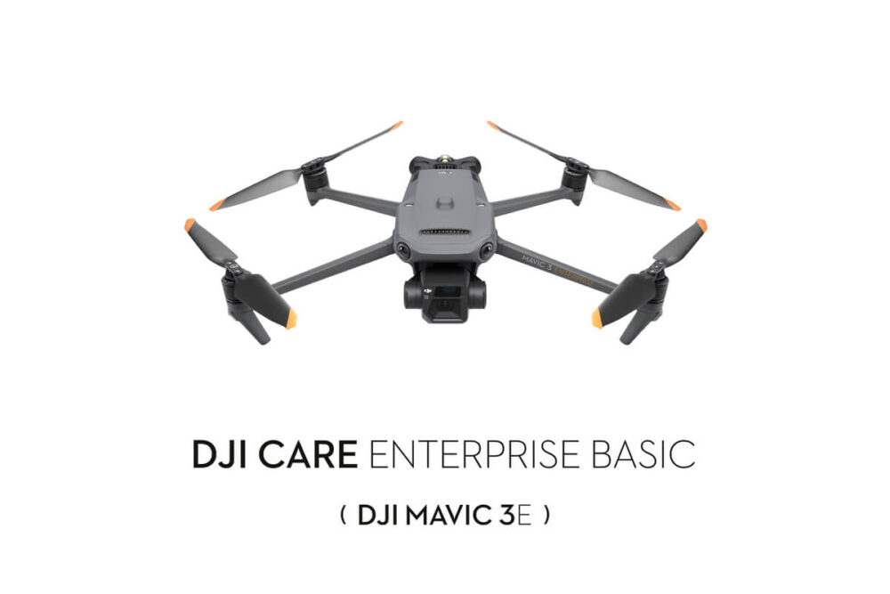
| Remote rural patrols | Dock 3 + Matrice 4TD | Scheduled remote visibility | Requires compliance planning and authorisation where applicable. |
How an Agriculture Drone Workflow Works
Start with the decision the drone data needs to support: crop review, boundary records, inspections, forestry or remote monitoring.
Multispectral, RGB mapping, thermal and LiDAR each answer different operational questions.
Review the site, boundaries, access points, airspace and any operational constraints before flying.
Collect the right imagery or sensor data for the required output, rather than flying without a defined purpose.
Turn the data into maps, imagery, thermal records, LiDAR outputs or inspection evidence.
Use the outputs to plan maintenance, inspections, land management, contractor work or future monitoring.
Drone Compliance for Agriculture and Rural Operations in Ireland
Operators must follow IAA / EASA drone rules and check airspace and UAS geographic zones before flying. Some missions may require additional authorisation, especially near people, roads, sensitive sites, controlled airspace, BVLOS or automated operations.
Irish Drone can help with equipment selection and workflow planning, but operators remain responsible for legal and safe operation.
FAQ
What is the best drone for agriculture in Ireland?
It depends on the job. Mavic 3 Multispectral is suited to crop and vegetation data, Matrice 4E is stronger for mapping and land records, and Matrice 4T is better for inspection and thermal awareness.
Can drones help with crop health monitoring?
Yes. Multispectral drone data can support crop scouting and vegetation review, helping farmers and agronomists identify areas that may need closer ground inspection.
What drone is best for farm mapping and drainage planning?
A mapping-focused drone such as DJI Matrice 4E is a practical option where the task is field mapping, boundary records, land planning or drainage review.
Can drones be used for livestock checks?
Drones can support livestock and boundary checks across large areas, especially when operators need a fast visual overview. Thermal-capable drones may also help with selected low-light awareness tasks.
Can drones inspect farm roofs and solar panels?
Yes. Drones can help inspect sheds, roofs, gutters, farm buildings and solar PV without unnecessary manual access, while thermal-capable platforms may support solar inspection workflows.
Which drone is best for forestry work?
For visual forestry checks, Matrice 4T may be suitable. For advanced terrain and structure data, an enterprise LiDAR workflow using Zenmuse L3 may be considered.
Can estates use drones for remote monitoring?
Yes, especially where estates have remote buildings, access roads, woodland edges, solar PV or repeated inspection routes. Dock-based workflows require careful planning and legal approval where needed.
Do Irish farms need permission to fly drones?
Operators must follow the applicable IAA / EASA rules, check airspace and understand the operational category of the flight. More complex operations may need additional authorisation.
Can Irish Drone help choose the right agriculture drone?
Yes. Irish Drone can help compare drone platforms, payloads and software workflows based on your farm, estate, forestry or rural monitoring needs.
Need Help Choosing a Drone for Farms, Estates or Forestry?
Tell us whether your priority is crop monitoring, land mapping, rural estate inspection, forestry data, solar PV checks or remote site monitoring. Irish Drone can help you choose the right DJI platform, payload and workflow for your operation in Ireland.
Contact Irish Drone View DJI Enterprise Drones
Leave a comment