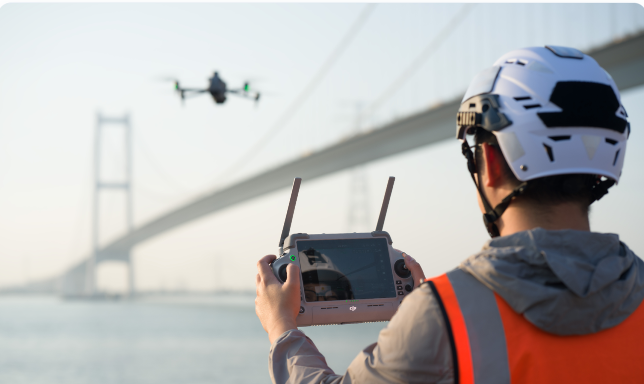
For Irish surveyors, engineers, contractors and land professionals, the DJI Matrice 4E is best understood as a compact RTK mapping drone for fast, repeatable aerial data capture. It is not a replacement for every survey method, but it can make many mapping, construction and inspection workflows faster, safer and easier to document.
1. Why Irish Surveying Projects Are Moving to Drone Mapping
Surveying, engineering and construction teams in Ireland are under pressure to collect data more frequently and deliver it faster. Traditional site visits are still essential, but walking every section of a large site, quarry, estate, roof or road corridor can be slow, exposed to weather, and difficult to repeat consistently.
A mapping drone gives teams a repeatable way to collect overhead imagery, document progress, support measurement workflows and create visual records that are easy to share with engineers, planners, clients and site managers. For many Irish projects, the value is not just the final map. It is the ability to capture the same site again and again from a consistent flight plan.
Faster site records
Capture progress, access routes, material storage areas and site changes without relying only on manual photos.
Safer data capture
Reduce the need to send people into unstable ground, busy work zones, steep areas or hard-to-access roof sections.
Repeatable workflow
Use planned routes to capture comparable data across weekly, monthly or milestone-based site visits.
2. What Makes the DJI Matrice 4E a Mapping Drone?
The Matrice 4 Series includes two main models: Matrice 4T and Matrice 4E. DJI positions the Matrice 4E for geospatial applications such as surveying, mapping, construction and mining, while the Matrice 4T is more focused on thermal inspection, public safety and security-style missions.
The key reason survey teams should look at the Matrice 4E is its wide camera. The Matrice 4E uses a 4/3-inch CMOS wide camera with 20 MP effective pixels and supports a mechanical shutter. For photogrammetry, a mechanical shutter is important because it reduces rolling-shutter distortion when capturing images during flight.
| Feature | Why it matters for surveying |
|---|---|
| 4/3-inch CMOS, 20 MP wide camera | Captures the primary imagery used for orthomosaics, site maps and 3D photogrammetry models. |
| Mechanical shutter | Helps reduce image distortion during mapping flights, especially when flying repeated grid missions. |
| 0.5-second minimum photo interval | Supports efficient data capture when overlap, altitude and speed are planned correctly. |
| RTK positioning | Improves image geotag quality and helps reduce the number of ground control points required in suitable workflows. |
| Up to 49 minutes max flight time | Gives more flexibility for larger sites, although real mission time depends on wind, route design, temperature and battery reserve. |
| Medium tele and tele cameras | Useful for context inspection, site details and stand-off visual checks, although the wide camera remains the main mapping camera. |
3. Best-Fit Use Cases in Ireland
The Matrice 4E is not only for traditional land surveyors. It is also a practical tool for contractors, engineering teams and asset owners who need better site visibility and measurable visual records.
Construction progress mapping
Weekly or milestone-based mapping for site managers, engineers and clients who need clear progress records.
Land development and planning
Boundary context, existing site conditions, access routes, drainage features and early-stage planning support.
Quarry and stockpile records
Regular visual documentation and data capture for stockpiles, benches, haul roads and operational areas.
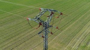
Roads and infrastructure corridors
Aerial records of roadworks, drainage, verges, embankments, bridges and construction corridors.
Roof and façade measurement support
Capture roof geometry, access points, site constraints and façade context before engineering or installation work.
Agriculture and rural estates
Map fields, tracks, drainage routes, boundaries, yards and farm infrastructure for rural planning and maintenance.
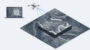
4. What Deliverables Can You Create?
With the right flight plan and processing workflow, Matrice 4E imagery can support a wide range of deliverables. The exact output depends on capture quality, overlap, ground control, lighting, site texture and processing settings.
| Deliverable | Typical value | Notes |
|---|---|---|
| Orthomosaic map | Clear, measurable top-down site view. | Useful for reports, planning and site comparisons. |
| 3D mesh/model | Visualise buildings, stockpiles, terrain and structures. | Needs correct image overlap and oblique imagery for vertical detail. |
| Photogrammetry point cloud | Supports measurement and surface modelling workflows. | Not the same as LiDAR; vegetation and low-texture surfaces can be challenging. |
| DSM / surface model | Helps analyse surface height and site shape. | For bare-earth terrain under vegetation, LiDAR may be more suitable. |
| Volume estimates | Useful for stockpiles and earthworks tracking. | Requires consistent capture and a reliable base/reference surface. |
5. Recommended Survey Workflow
A good drone survey is not just a flight. It is a controlled workflow. For Irish mapping projects, the following process is a practical starting point:
Define the deliverable
Decide whether the project needs a visual site record, orthomosaic, 3D model, volume calculation or data for CAD/GIS workflows.
Plan control and checkpoints
Use RTK and, where required, ground control points or independent checkpoints to validate positional accuracy.
Set flight altitude and overlap
Choose overlap, ground sampling distance and route direction based on site complexity, wind, lighting and the required output.
Capture clean imagery
Avoid low light, excessive glare, motion blur, aggressive flight speeds and inconsistent camera settings where accuracy matters.
Process and check the results
Process imagery in software such as DJI Terra or another photogrammetry platform, then check alignment, error reports and checkpoints before using the data commercially.
6. RTK, Accuracy and Ground Control: What to Expect
RTK is one of the main reasons to choose a survey-focused drone. DJI lists RTK GNSS accuracy for the Matrice 4 Series at 1 cm + 1 ppm horizontal and 1.5 cm + 1 ppm vertical under RTK Fix conditions. This is positioning accuracy under suitable conditions, not a blanket promise that every final map, model or measurement will have that accuracy.
Final deliverable accuracy depends on many factors: ground control, checkpoint design, flight altitude, camera calibration, overlap, wind, image blur, surface texture, processing settings and the coordinate system used. For professional survey work, independent checkpoints are strongly recommended so the deliverable can be verified instead of assumed.
7. Recommended Accessories and Software
For most Irish mapping teams, the drone is only one part of the system. A practical Matrice 4E setup should also consider positioning, batteries, data processing and field workflow.
| Item | Recommended role |
|---|---|
| D-RTK 3 Multifunctional Station | Provides centimetre-level positioning support for compatible DJI drones and can support high-precision surveying workflows. |
| Additional batteries and charging plan | Essential for larger sites, repeat missions and workdays where weather windows are limited. |
| High-quality microSD cards | Large mapping jobs generate many images; reliable storage matters for data security. |
| DJI Terra or photogrammetry software | Used for 2D reconstruction, 3D reconstruction, point clouds, models and mapping outputs. |
| Survey targets / GCP equipment | Useful for projects where accuracy needs to be independently checked and documented. |
8. Matrice 4E vs Matrice 4T vs Matrice 400 with LiDAR
Choosing the right drone depends on the main job. The Matrice 4E is not the best choice just because it is new; it is the best choice when the workflow matches what it was designed to do.
| Requirement | Best fit | Why |
|---|---|---|
| Photogrammetry, orthomosaics, construction maps, land surveys | DJI Matrice 4E | 20 MP 4/3 wide camera, mechanical shutter, RTK and compact deployment. |
| Thermal inspection, public safety, livestock search, night awareness | DJI Matrice 4T | Thermal camera and inspection-oriented sensor set. |
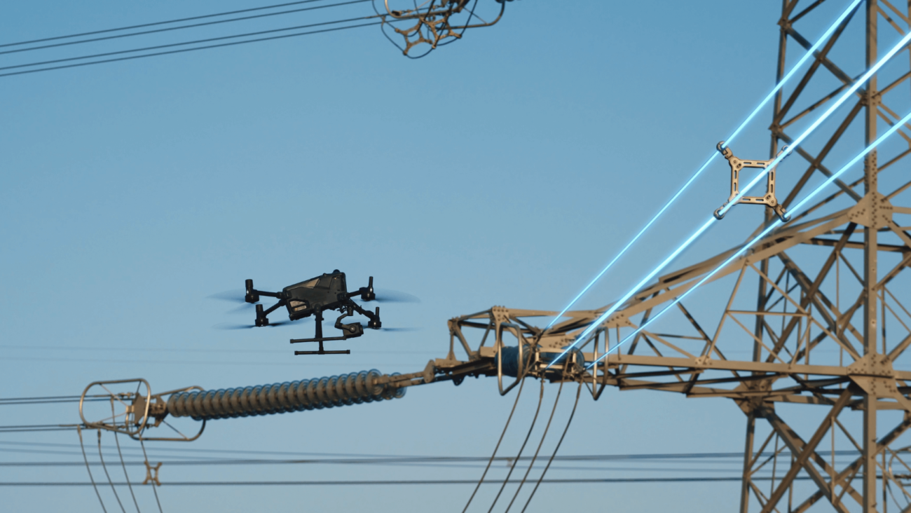
| Vegetation penetration, large terrain modelling, powerline corridors, advanced LiDAR deliverables | DJI Matrice 400 + Zenmuse L3 | Larger platform and LiDAR payload workflow for heavier survey and infrastructure projects. |
| Occasional simple mapping on a lower budget | Mavic 3 Enterprise class workflow | May still be suitable for some lighter mapping work, depending on requirements and availability. |
9. Where Matrice 4E Is Not the Right Choice
A logical buying guide should also explain when not to buy the product. The Matrice 4E may not be the right choice if the job is mainly thermal inspection, heavy-payload inspection, LiDAR-first mapping, long-range industrial inspection or fully automated dock-based work.
For solar farm thermal inspection, livestock search or heat anomaly detection, the Matrice 4T is usually the better compact choice. For complex LiDAR mapping, powerline corridors or larger payload requirements, Matrice 400 with a suitable payload is likely a stronger platform. For fixed-site automated missions, DJI Dock-compatible aircraft should be evaluated separately.
10. Ireland Compliance and Operational Planning
Drone surveying in Ireland must be planned around aviation rules, site safety and data responsibility. The correct route depends on the drone, location, risk level, airspace and whether the job stays within visual line of sight.
For more complex operations, including operations in complex environments, beyond visual line of sight or in restricted or prohibited airspace, the Irish Aviation Authority notes that an Operational Authorisation may be required. This is especially relevant for infrastructure corridors, urban areas, industrial sites and projects close to controlled or restricted airspace.
This section is general guidance only and is not legal advice. Operators should check the latest IAA/EASA requirements before commercial work.
11. Buying Checklist for Irish Survey Teams
- Primary deliverable: orthomosaic, 3D model, stockpile volume, inspection records or CAD/GIS support?
- Accuracy expectation: visual record, engineering reference or survey-grade deliverable with check points?
- Site type: construction, quarry, road, roof, rural estate, infrastructure or urban project?
- Control method: network RTK, D-RTK 3, GCPs, checkpoints or a combined workflow?
- Processing workflow: DJI Terra, third-party photogrammetry software, CAD/GIS export or reporting?
- Operational plan: pilot competency, site risk assessment, airspace, permissions and insurance.
- Support: training, setup, batteries, maintenance and after-sales support in Ireland.
Recommended Configuration
For most Irish mapping teams: DJI Matrice 4E + RTK workflow + additional batteries + suitable processing software + survey control/checkpoint plan.
For advanced terrain or vegetation-heavy projects: consider whether LiDAR is required before choosing a photogrammetry-only workflow.
FAQ: DJI Matrice 4E for Surveying in Ireland
Is the DJI Matrice 4E good for surveying?
Yes. It is designed for geospatial applications such as surveying, mapping, construction and mining. Its 4/3-inch 20 MP wide camera, mechanical shutter and RTK workflow make it well suited to photogrammetry projects.
Can Matrice 4E replace a land surveyor?
No. It is a data capture tool. A qualified surveyor or competent professional is still needed to plan control, validate accuracy, interpret outputs and decide whether the data is suitable for the project.
Do I still need ground control points with RTK?
For many professional workflows, yes. RTK improves image geotag accuracy, but GCPs or independent checkpoints are still recommended when accuracy needs to be verified and documented.
Is Matrice 4E better than Matrice 4T for mapping?
For photogrammetry and mapping, Matrice 4E is usually the better choice because of its 4/3-inch 20 MP wide camera and mechanical shutter. Matrice 4T is better when thermal imaging is the main requirement.
Can Matrice 4E create 3D models?
Yes. With correct image overlap, oblique imagery and processing software, Matrice 4E imagery can be used for 3D reconstruction. For complex surfaces or vegetation-heavy terrain, LiDAR may be more suitable.
What software do I need?
DJI Terra is a common choice inside the DJI ecosystem. Other photogrammetry, GIS and CAD tools may also be used depending on your required export formats and client workflow.
Is Matrice 4E suitable for Irish construction sites?
Yes. It is a strong fit for progress mapping, earthworks records, access planning, material storage documentation and client reporting, provided the operation is planned safely and legally.
Need Help Choosing a Mapping Drone?
Tell Irish Drone about your site type, mapping deliverables, accuracy expectations and budget. We can help you decide whether the DJI Matrice 4E is the right fit or whether another DJI platform would be better for your project.
Contact Irish Drone

Leave a comment