
Description
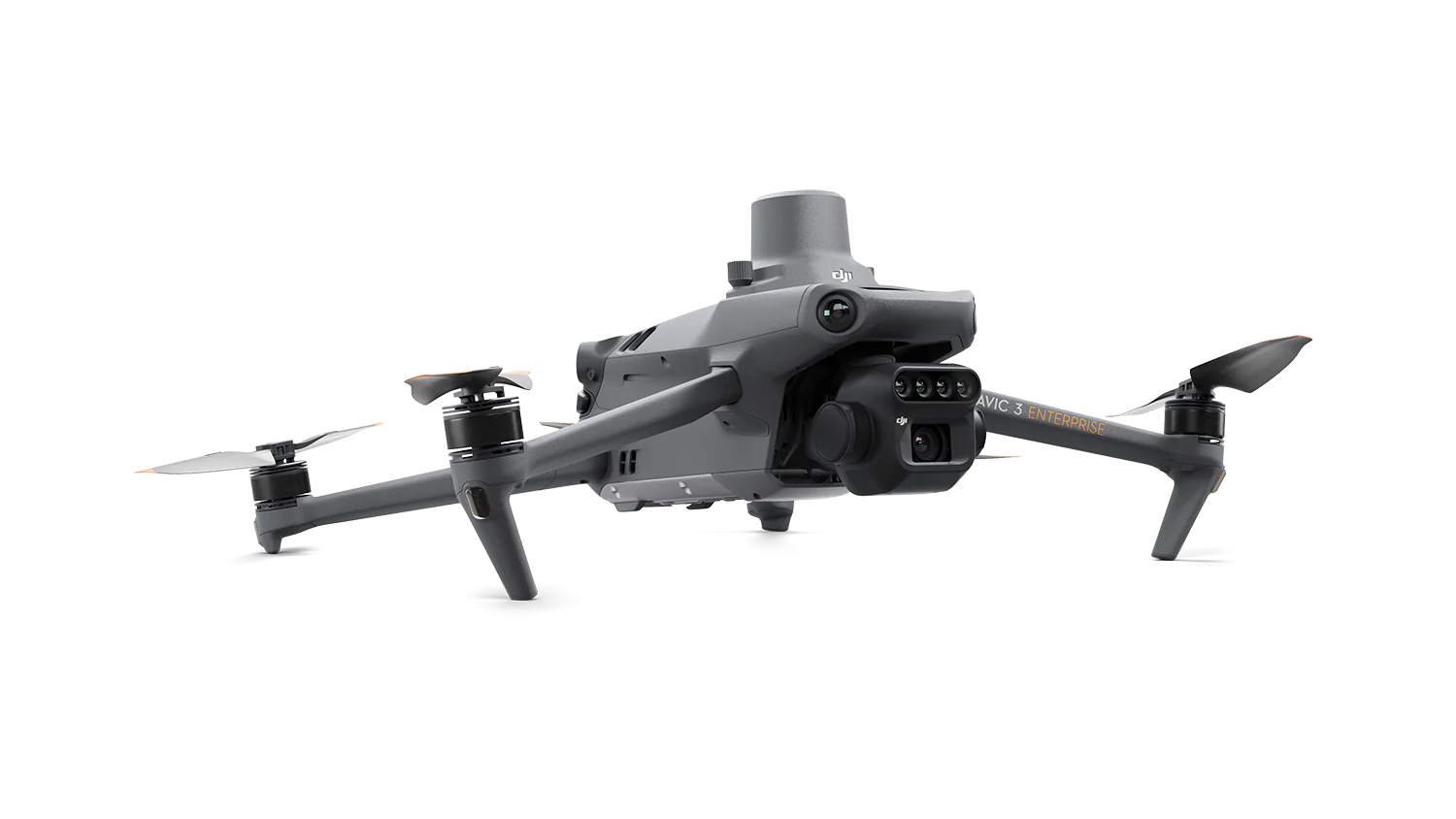
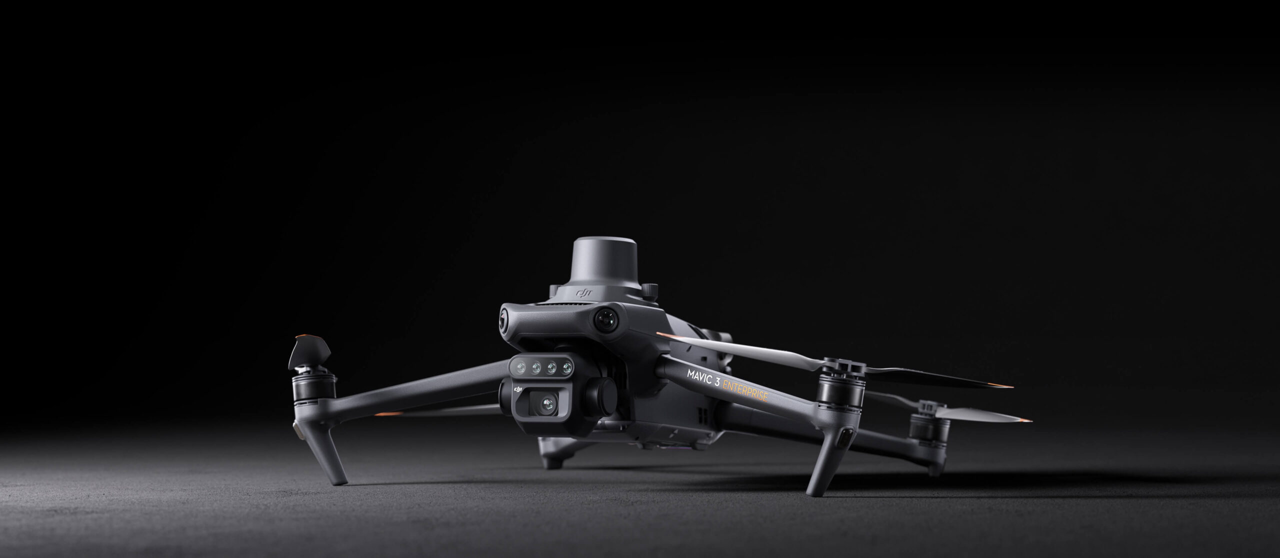
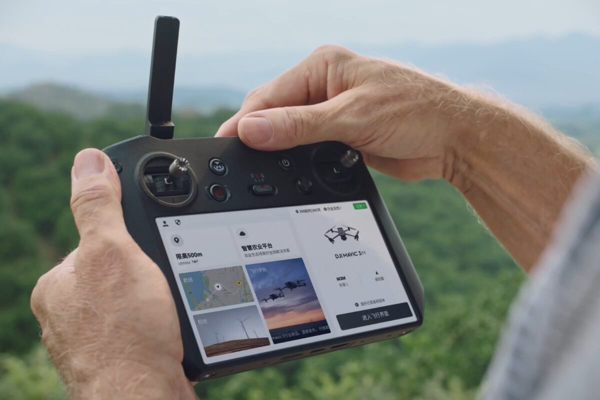
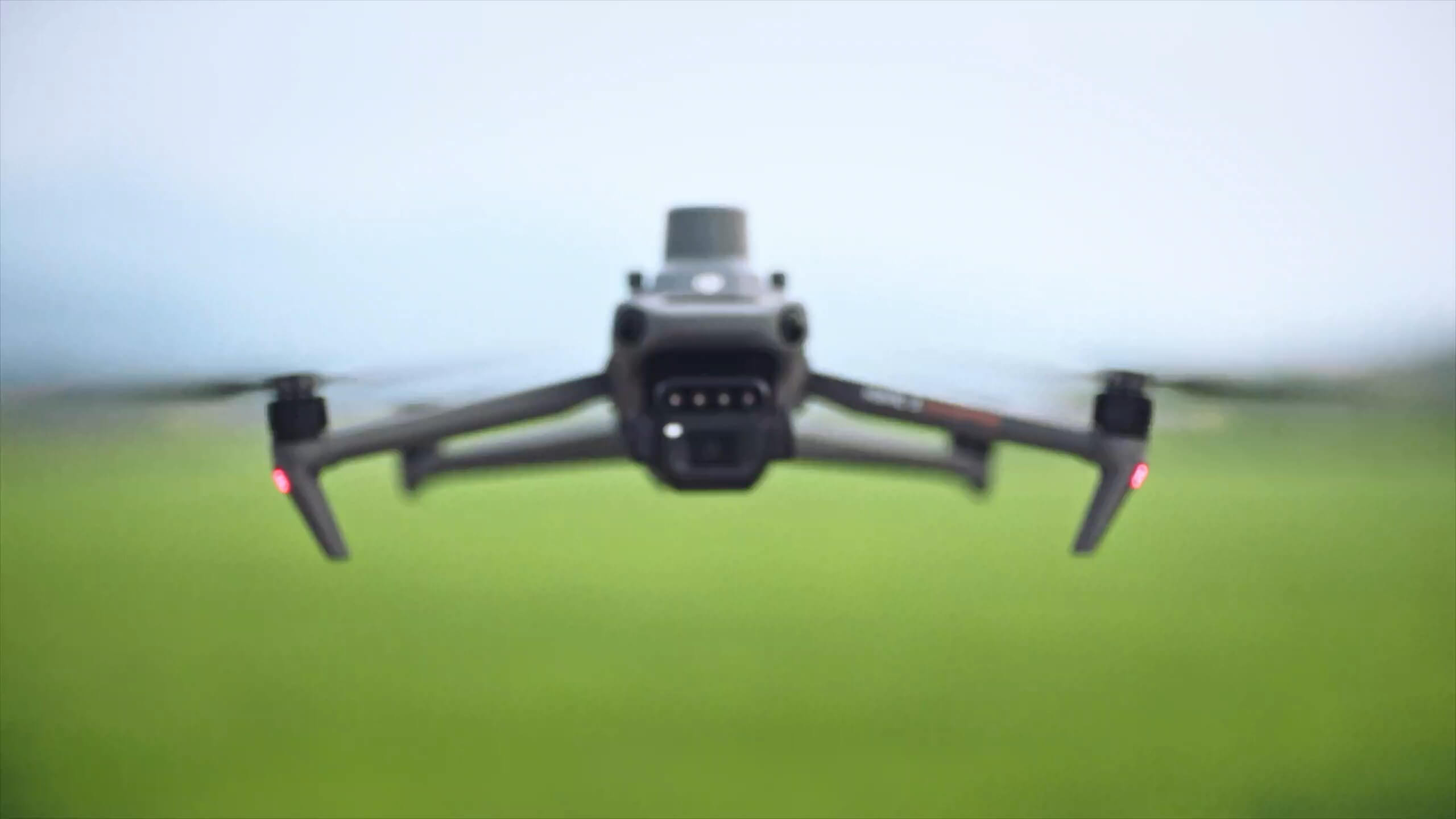
The DJI Mavic 3 Multispectral combines conventional aerial photography with four dedicated spectral bands in a portable, folding aircraft. It gives agricultural and environmental professionals a way to compare visible detail with vegetation-index information, helping them identify areas that deserve a closer look on the ground.
Multispectral imaging and RTK positioning
20MP RGB and four multispectral cameras
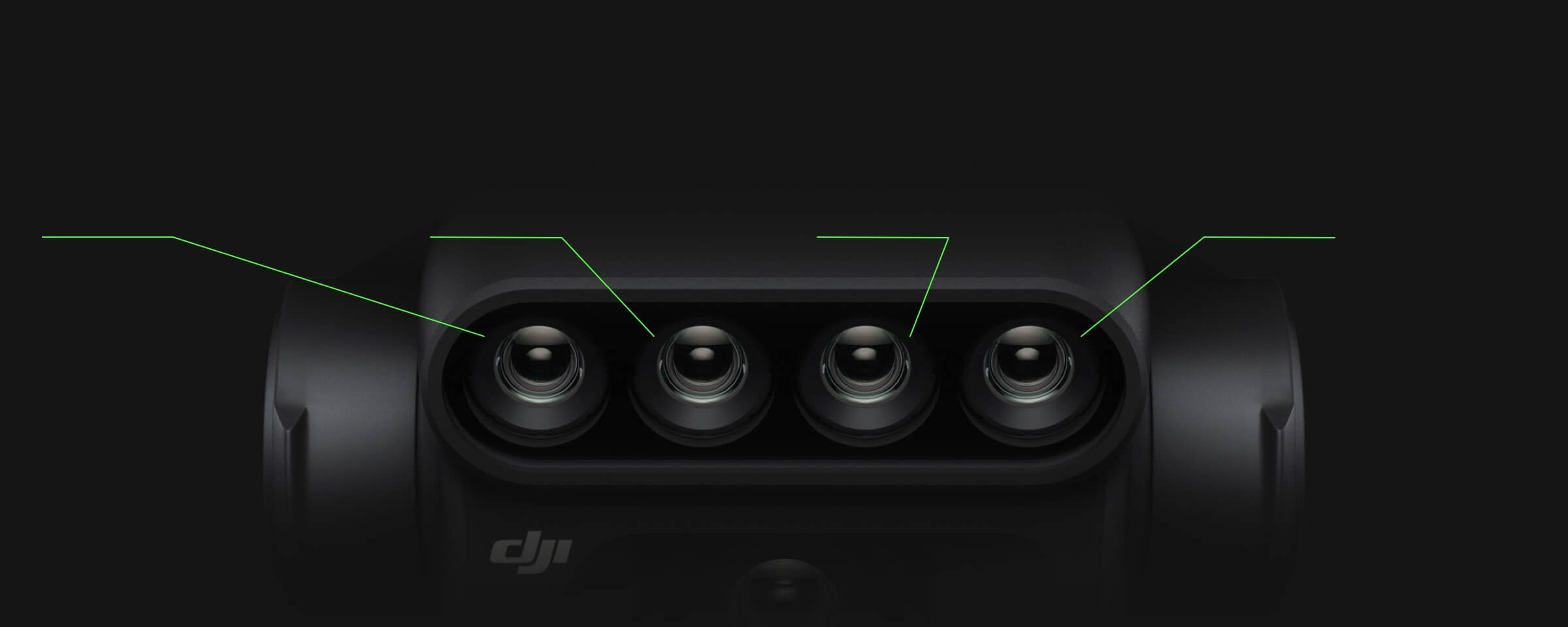
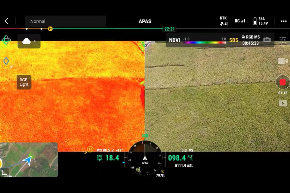
The 4/3 CMOS RGB camera captures 20MP images and uses a mechanical shutter for mapping photography. Four separate 5MP cameras record green, red, red-edge and near-infrared data. This is multispectral imaging, not a thermal camera.
Sunlight sensor
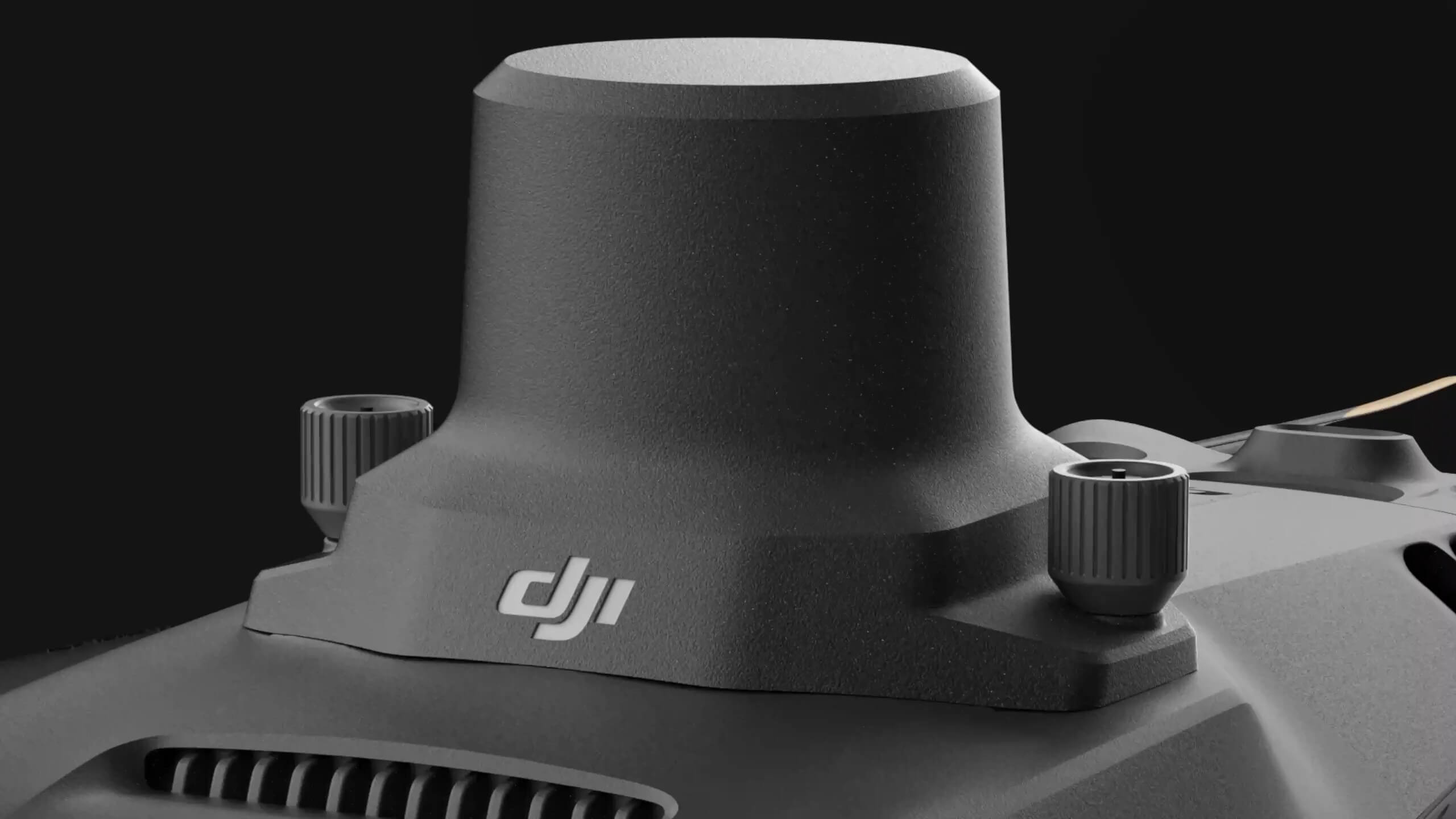
A built-in sunlight sensor records changing illumination to support compensation during processing. Keep it clean and unobstructed. Consistent survey conditions and appropriate processing remain important when comparing results over time.
RTK positioning for repeatable surveys
The aircraft includes an RTK module. With suitable correction data from a compatible base station or network RTK service, it supports centimetre-level positioning. RTK positioning figures are not a guarantee of final map accuracy: flight planning, image quality, processing and independent checks still matter.
Plan for real field conditions
Flight duration varies with the propeller configuration, conditions, flight pattern and the reserve needed to land safely. Follow DJI Pilot 2 Return to Home prompts. Omnidirectional vision sensing assists flight but does not replace pilot observation and has environmental and flight-mode limitations. The Mavic 3M is not waterproof.
DJI Pilot 2 and DJI Terra
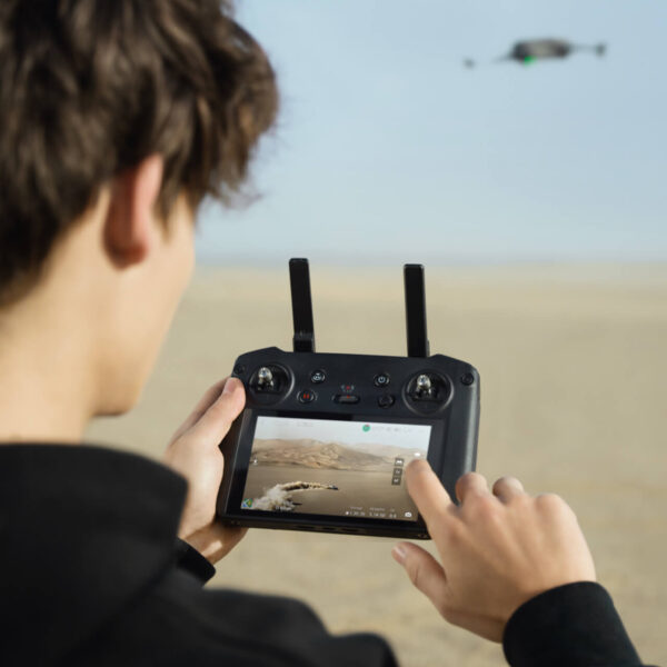
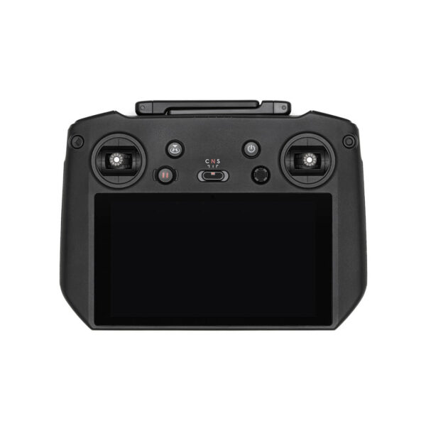
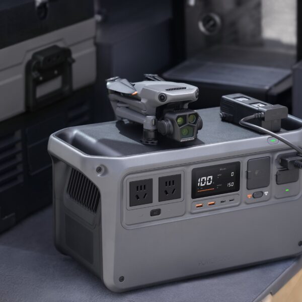
DJI Pilot 2 handles aircraft operation and mission planning. DJI Terra is an optional processing route; confirm the required licence, computer specification and service availability before purchase. Additional batteries, charging hubs, base stations and software must be confirmed separately for the supplied package.
Applications
Orchard mapping
- Plan a suitable DJI Pilot 2 mapping mission
- Capture RGB and multispectral imagery
- Process and inspect the results with compatible software
- Confirm observations with field checks
Data for variable-rate planning
- Capture Mavic 3M survey imagery
- Process with compatible, separately licensed software
- Review vegetation-index and prescription-map outputs
- Plan any application separately with an agronomist
Targeted field scouting
Environmental Monitoring and Natural Resources Survey
RGB and multispectral records can support repeat surveys of woodland, green spaces and other vegetation. Use a consistent method and suitable specialist interpretation for the question being investigated.

Mavic 3M technical questions
Based on DJI documentation. See the official DJI Mavic 3M FAQ for the manufacturer's guidance and further details.
Package and workflow questions
The Mavic 3M records RGB and multispectral survey imagery. It is not a thermal-imaging or spraying aircraft.
The aircraft comes standard with the RTK Module. A compatible base station or network RTK service provides correction data. Confirm whether a base station or correction subscription is included in the supplied package before purchase.
DJI Terra is a documented processing option for Mavic 3M imagery. The required licence, edition and computer specification must be checked separately; a licence should not be assumed to be included with this aircraft.
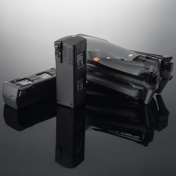
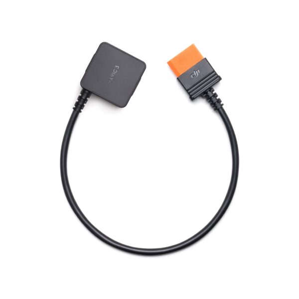
Check the itemised contents for the exact package supplied. Battery quantities, charging accessories, base stations, Care cover and software should not be inferred from another dealer's bundle or from a model category name.
Vegetation indices can help identify variation and prioritise field visits. They do not establish the cause of crop stress or a treatment rate on their own; combine aerial observations with crop knowledge and ground checks.











Reviews
There are no reviews yet.