Ports, quays, sea walls, breakwaters, piers and marine facilities need regular inspection, but they are often difficult, exposed and expensive to access. This guide explains which DJI enterprise drone setup makes sense for different coastal inspection jobs in Ireland.
Quick answer: which drone is best?
There is no single “best” drone for every harbour or coastal asset. The right choice depends on whether the job is mainly visual inspection, thermal inspection, mapping and measurement, or repeat remote monitoring.
Best overall inspection setup
DJI Matrice 400 + Zenmuse H30T for larger ports, exposed harbour structures, high zoom inspection, thermal checks and longer missions.
Best compact field team setup
DJI Matrice 4T for quick site visits, pier inspection, small harbour checks, marina work and thermal fault screening.
Best automated monitoring setup
DJI Dock 3 + Matrice 4TD for repeated inspection routes around secure sites, ports, utility assets and remote operational areas.
Best survey and digital twin setup
DJI Matrice 400 + Zenmuse L3 when the project requires LiDAR point clouds, coastal asset models, terrain surfaces or measurement deliverables.
Why coastal and harbour inspections are different
Marine infrastructure is not inspected in the same way as an inland building or a standard construction site. Coastal sites in Ireland are often exposed to wind, salt, spray, tides, corrosion and restricted access. A quay wall, sea wall or breakwater may look safe from ground level, but the most important details are often above water, under overhangs, behind railings, on the seaward face or close to restricted working areas.
Traditional inspection may involve scaffolding, rope access, mobile elevated work platforms, boats or temporary site closures. Those methods are still necessary for repair and hands-on engineering work, but drones can help teams understand the condition of an asset before sending people into harder-to-access areas.
A well-planned drone inspection can collect high-resolution visual imagery, zoom imagery, thermal data, geotagged records, LiDAR point clouds and repeatable flight records. This makes the drone useful not just for a quick photo, but for planned inspection, defect tracking, asset management and maintenance reporting.
What marine assets can be inspected by drone?
Ports and harbours
Quay walls, berths, mooring areas, cranes, roofs, storage yards, lighting columns, navigation aids, fencing and restricted operational zones.
Sea walls and breakwaters
Cracking, displaced blocks, storm damage, erosion, vegetation growth, wave impact zones and hard-to-reach seaward faces.
Piers, jetties and marinas
Decking, piles, railings, lights, access ramps, floating structures and visitor areas where safe access planning is important.
Coastal utilities and industrial sites
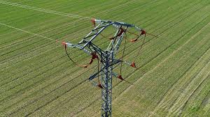
Outfalls, pipelines, tanks, roof plant, perimeter assets, substations, solar PV, coastal roads and infrastructure close to water.
Inspection goals: what data do you need?
Before choosing the drone, define the inspection goal. A port operations team may need rapid situational awareness after a storm. An engineering consultant may need high-resolution photos linked to defect locations. A local authority may need a repeatable record of a sea wall. A facilities team may need thermal inspection of electrical or roof assets. Each goal changes the aircraft and payload choice.
| Inspection need | Best data type | Recommended DJI setup |
|---|---|---|
| Close visual inspection from a safe distance | High zoom RGB images and video | Matrice 400 + Zenmuse H30 or H30T |
| Thermal fault screening | Thermal images, temperature comparison, hotspot records | Matrice 4T, Matrice 4TD or Matrice 400 + H30T |
| Sea wall or harbour asset modelling | LiDAR point cloud, orthomosaic, surface model, 3D record | Matrice 400 + Zenmuse L3 |
| Repeat monitoring of a fixed site | Scheduled routes, live view, consistent inspection records | DJI Dock 3 + Matrice 4TD |
Recommended drone setups for Irish marine inspection
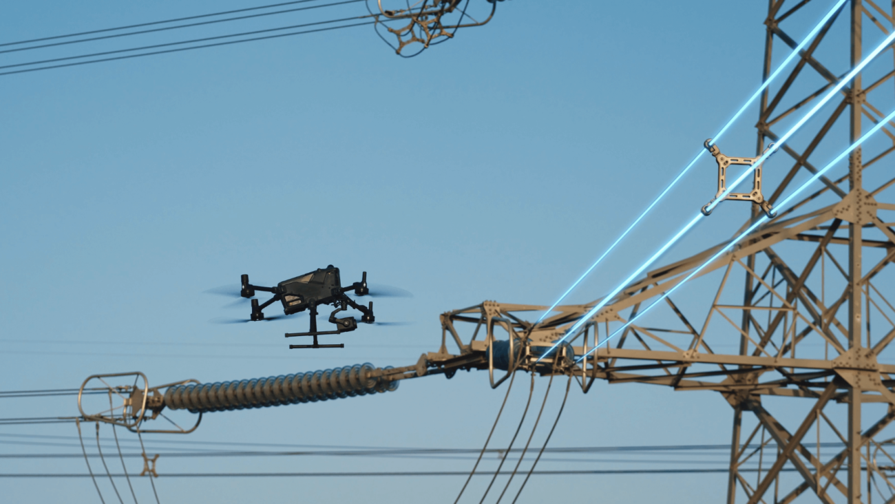
1. DJI Matrice 400 + Zenmuse H30T: best overall for serious harbour inspection
For large ports, industrial marine facilities and exposed coastal structures, the Matrice 400 with Zenmuse H30T is the strongest all-round inspection setup. The aircraft is built for longer enterprise missions, heavier payload flexibility and demanding site work. It is a better fit when the inspection requires long standoff distance, high zoom detail, thermal imaging and a more robust field workflow.
The H30T is especially useful where the operator needs RGB zoom and thermal information in the same mission. For example, a team can inspect visible cracking, corrosion, displaced protection units, access ladders, roof plant and electrical equipment, then use thermal data to help identify overheating equipment, insulation anomalies or solar PV hotspots at nearby coastal facilities.
- Best for ports, energy sites, long quays, breakwaters and industrial coastal assets.
- Useful when inspection distance must be maintained for safety or operational reasons.
- Suitable for combining zoom inspection, thermal screening and geotagged defect records.
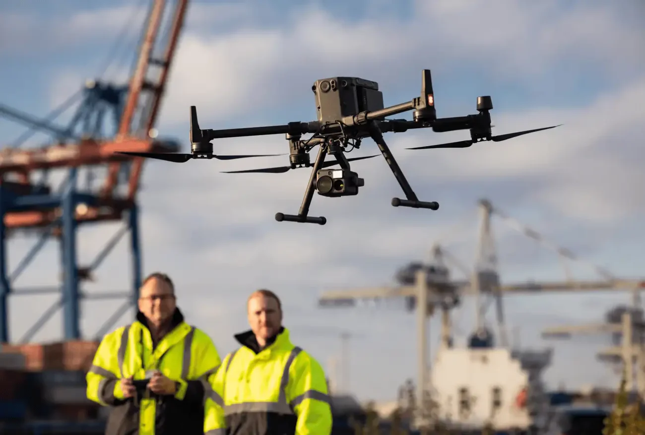
2. DJI Matrice 4T: best portable thermal inspection drone
The Matrice 4T is a compact enterprise drone for inspection teams that need mobility. It makes sense for smaller harbours, marinas, short pier inspections, quick storm damage assessments and field visits where a large aircraft is not necessary.
Its strength is speed and practicality. A surveyor, engineer or inspection team can arrive on site, complete a risk assessment, capture thermal and RGB data, and leave with a structured record of the asset condition. For many local inspections, this is more efficient than bringing a larger aircraft to a relatively small site.
- Best for smaller teams that need a portable inspection drone.
- Good for thermal screening, visual inspection and rapid site documentation.
- Useful for piers, marinas, coastal buildings, roofs, solar PV and utility checks.
3. DJI Dock 3 + Matrice 4TD: best for repeat remote monitoring
Some marine sites do not need a one-off inspection. They need repeat monitoring. Examples include secure port zones, industrial estates near the coast, substations, storage areas, outfalls, perimeter assets and locations where daily or weekly inspection routes would save time.
For this type of work, DJI Dock 3 with Matrice 4TD can support scheduled, repeatable missions from a fixed or mobile deployment environment. This is not a replacement for operational authorisation, risk assessment or trained pilots, but it is a powerful option when the same asset needs to be checked again and again.
- Best for repeat routes around fixed assets and secured operational sites.
- Useful for monitoring storm impact, unauthorised access, thermal anomalies and asset condition changes.
- Requires careful planning for power, connectivity, site security, flight permissions and weather exposure.
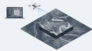
4. DJI Matrice 400 + Zenmuse L3: best for LiDAR, mapping and asset records
When the project is not just about “looking” at a structure but measuring and modelling it, a LiDAR payload becomes important. The Zenmuse L3 on Matrice 400 is the right direction for coastal asset mapping, sea wall modelling, terrain capture and digital-twin workflows.
This setup is useful when consultants or asset owners need a point cloud, 3D model, measurable surface data or repeat survey baseline. It can support better long-term asset management because the team can compare future surveys against a structured record, instead of relying only on isolated photos.
- Best for sea wall modelling, harbour geometry, terrain and hard-surface measurement.
- Useful where vegetation, uneven terrain or access limits make ground survey slower.
- Supports engineering, planning, maintenance and asset management deliverables.
A practical inspection workflow
A strong marine drone inspection is not just about flying the drone. The value comes from a repeatable workflow that produces usable engineering or maintenance information.
1. Define the asset
List the quay, wall, pier, roof, crane, pipeline, outfall or coastal structure to be inspected.
2. Select the data type
Choose RGB zoom, thermal, LiDAR, mapping imagery or scheduled repeat monitoring.
3. Plan safe flight positions
Consider tide, wind, public areas, port operations, restricted zones and emergency procedures.
4. Capture structured data
Use consistent angles, naming, geotagging and planned routes so defects can be reviewed later.
5. Review defects
Classify cracking, corrosion, displacement, missing fittings, water ingress or thermal anomalies.
6. Deliver a useful report
Include location, date, asset ID, images, observations, severity and recommended next actions.
What to inspect: common defect categories
For harbour and coastal infrastructure, the report should be structured around the issues asset owners actually need to track. This makes the drone output more useful for engineers, contractors and maintenance teams.
- Concrete and masonry defects: cracking, spalling, staining, displacement, exposed reinforcement and surface loss.
- Steel and fittings: corrosion, missing bolts, damaged ladders, railings, fenders, gates and access systems.
- Storm and wave damage: displaced armour units, damage to sea wall faces, debris impact and erosion behind structures.
- Roof and building issues: loose panels, water ponding, gutter problems, thermal anomalies and safety hazards.
- Electrical and solar assets: thermal hotspots, damaged cabling, inverter areas, switchgear zones and PV panel faults.
- Access and safety: blocked routes, unstable areas, damaged barriers and hazards around operational zones.
Matrice 400 vs Matrice 4T vs Dock 3: which one should you choose?
| System | Best for | Limitations to consider |
|---|---|---|
| Matrice 400 + H30T | Larger inspection sites, high zoom, thermal work, longer missions, enterprise payload flexibility. | Larger aircraft; needs more operational planning and trained enterprise workflow. |
| Matrice 4T | Portable inspections, smaller ports, marinas, coastal buildings, quick thermal checks. | Less payload flexibility than Matrice 400; not the best choice for heavy LiDAR or long industrial missions. |
| Dock 3 + Matrice 4TD | Repeat remote monitoring, scheduled routes, secured sites and fixed asset oversight. | Requires careful site selection, connectivity, power, security, permissions and operational authorisation where applicable. |
| Matrice 400 + L3 | LiDAR survey, 3D models, coastal asset measurement and digital-twin workflows. | Best used when deliverables justify LiDAR processing and survey-grade workflow. |
Important planning points for Ireland
Irish coastal and harbour environments require careful flight planning. Ports can include restricted areas, moving vessels, cranes, public zones, critical infrastructure and nearby controlled or sensitive airspace. Weather can also change quickly around exposed coastal sites.
Operational note
Some professional drone operations in Ireland may require appropriate authorisation, especially in complex environments, beyond visual line of sight operations, or restricted/prohibited airspace. Always complete a site-specific risk assessment and check applicable IAA requirements before the job.
For coastal drone work, also consider salt exposure and maintenance. IP ratings are helpful for field resilience, but they do not mean an aircraft can be treated as waterproof or ignored after salt-air operations. Aircraft, sensors, propellers, landing gear and connectors should be checked and maintained properly after marine work.
Recommended deliverables for a harbour drone inspection
To make the inspection useful for decision-making, the final output should be more than a folder of images. A professional report can include:
- Asset overview map or flight coverage plan.
- Defect register with image references and location notes.
- RGB close-up images and zoom images of critical areas.
- Thermal images where electrical, roof or PV assets are included.
- Orthomosaic or 3D model where mapping is required.
- LiDAR point cloud where accurate geometry or surface capture is required.
- Priority recommendations for engineering review, repair access or follow-up survey.
FAQ: coastal, harbour and marine infrastructure drone inspection
What is the best drone for harbour inspection in Ireland?
For larger harbour and port inspection, DJI Matrice 400 with Zenmuse H30T is usually the strongest all-round setup because it combines long enterprise mission capability with high zoom and thermal inspection data. For smaller sites, Matrice 4T is often more practical.
Can drones inspect sea walls and breakwaters?
Yes. Drones can collect visual imagery, zoom images, thermal data and LiDAR data for sea walls, breakwaters and coastal protection structures. They are especially useful for initial condition assessment, storm damage documentation and planning safer follow-up access.
Is thermal imaging useful for marine infrastructure?
Thermal imaging can be useful when the inspection includes electrical equipment, solar PV, roof moisture indicators, industrial plant or temperature anomalies. It is not a complete structural diagnosis by itself, but it adds another data layer to visual inspection.
When should I use LiDAR for a coastal inspection?
Use LiDAR when the project needs measurements, point clouds, terrain models, 3D asset records or repeat survey comparisons. For simple visual defect checks, RGB zoom imagery may be enough; for engineering-grade surface data, LiDAR is more suitable.
Can DJI Dock 3 be used for harbour monitoring?
DJI Dock 3 can be suitable for repeat monitoring of fixed or secured sites when the route, connectivity, power, weather exposure, permissions and operational procedures are properly planned. It is best for repeated inspection routes rather than one-off site visits.
Do port or coastal drone operations need special permission?
Some operations may need additional authorisation, especially in complex environments, restricted areas, near controlled airspace or for beyond visual line of sight missions. Always check current IAA requirements and complete a proper site risk assessment.
Need help choosing a drone for marine inspection?
Irish Drone can help you compare Matrice 400, Matrice 4T, Matrice 4TD, Dock 3, H30T and LiDAR options for harbour, coastal and infrastructure inspection projects in Ireland.
Leave a comment