The best infrastructure inspection drone is not simply the most expensive aircraft. Irish teams need to choose by asset type, risk level, data requirement and inspection frequency. This guide compares the most suitable DJI Enterprise setups for bridges, powerlines, substations, wind farms, ports, industrial sites and construction infrastructure.

Quick Answer: Which DJI Drone Should You Choose?
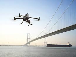
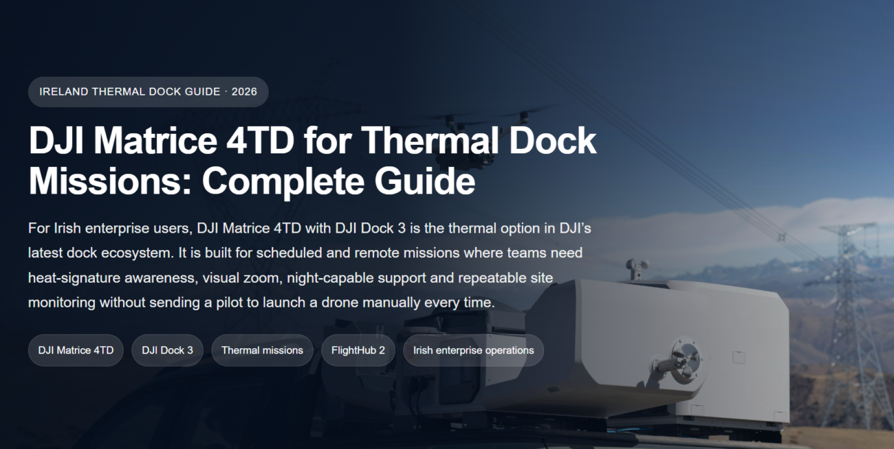
For most serious infrastructure inspection programmes in Ireland, the best overall setup is DJI Matrice 400 with Zenmuse H30T. It is the strongest option when a team needs long endurance, high zoom, thermal imaging, laser range finding and payload flexibility for major assets.
| Inspection need | Best DJI setup | Best Irish use case |
|---|---|---|
| Major infrastructure, utilities and long inspection days | DJI Matrice 400 + Zenmuse H30T | Powerlines, substations, ports, bridges, wind farms, industrial sites |
| Fast thermal inspection and safety support | DJI Matrice 4T | Roofs, solar PV, local authority assets, emergency checks, night visibility |
| Mapping, 3D models and progress documentation | DJI Matrice 4E | Construction sites, roadworks, quarries, roof models, measured site records |
| LiDAR and survey-grade corridor data | DJI Matrice 400 + Zenmuse L3 | Rail corridors, transmission routes, terrain models, forestry-adjacent assets |
| Recurring remote inspection | DJI Dock 3 + Matrice 4TD | Ports, utilities, energy sites, logistics hubs, industrial campuses |
Why Infrastructure Inspection Needs More Than a Consumer Drone
Infrastructure inspection is different from basic aerial photography. A bridge, powerline, substation, wind turbine, port facility or industrial roof may require safe stand-off distance, repeatable viewpoints, thermal evidence, zoom detail, accurate mapping or LiDAR measurement. A consumer drone can take pictures, but it usually does not provide the operational control, payload options or data quality required for professional asset management.
For Irish conditions, the challenge is also environmental. Coastal wind, rain, rural access, urban constraints, sensitive infrastructure and restricted operating environments mean that inspection teams need to plan the aircraft, payload, flight method and data workflow together.
Safety
Drones reduce the need for early-stage rope access, scaffolding, ladder work, lane closures and manual checks near water, traffic, high voltage or unstable ground.
Speed
Teams can capture a first inspection record quickly, prioritise defects and decide whether specialist crews need to visit specific areas.
Evidence
Good drone inspection produces geotagged images, thermal records, video, maps, models or point clouds that can support maintenance planning.
Repeatability
The value increases when the same assets are inspected over time, using consistent routes, camera angles and reporting standards.
Best DJI Enterprise Setups for Infrastructure Inspection
The best system depends on what the asset owner needs to know. Below is a practical buying guide for Irish organisations choosing DJI Enterprise drones for inspection, surveying and remote monitoring.
Best overall
1. DJI Matrice 400 + Zenmuse H30T
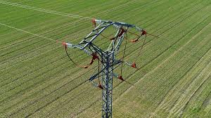
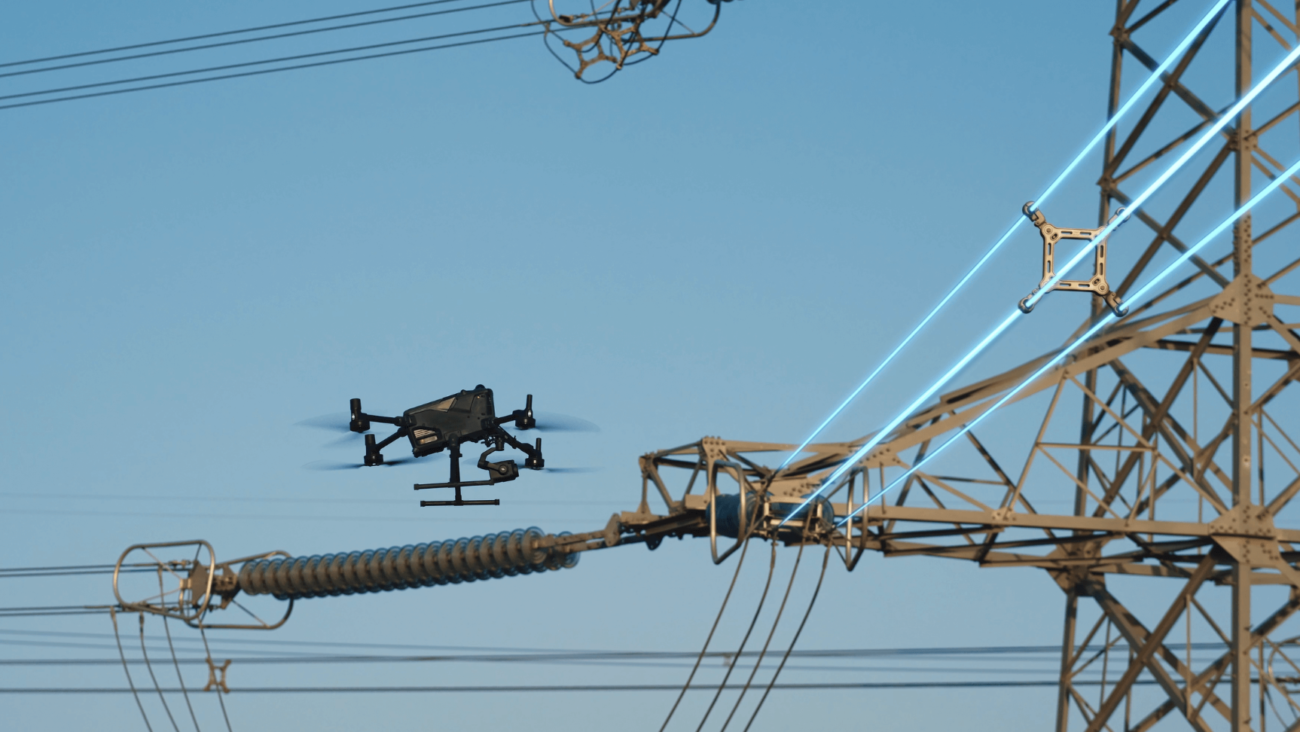
Choose this setup when the project involves major infrastructure, long inspection days, stand-off inspection or mixed visual and thermal data. DJI Matrice 400 is built as an enterprise platform with long flight time, strong payload flexibility and advanced sensing. Zenmuse H30T adds wide, zoom, thermal, laser range finder and NIR capabilities in one payload, making it a strong fit for utilities, energy, transport and industrial assets.
- Best for: powerlines, substations, wind farms, large bridges, ports, coastal assets, industrial inspection.
- Why it works: long endurance, 6 kg max payload capability, high-zoom visual inspection, 1280 × 1024 thermal imaging and 3–3000 m laser range measurement.
- Recommended buyer: utilities, inspection contractors, asset owners, public safety teams and enterprise drone operators.
Best compact thermal option
2. DJI Matrice 4T
Matrice 4T is the practical choice when a team needs a compact thermal inspection drone that can be deployed quickly. It is not designed to replace a heavy-lift platform for every job, but it is very strong for fast condition checks, roof inspections, solar PV checks, emergency response support, night visibility and smaller infrastructure assets.
- Best for: local authority assets, solar PV, storm damage, roofs, industrial yards, public safety and tactical inspection.
- Why it works: compact multi-sensor workflow with thermal imaging, zoom, low-light support and laser measurement.
- Recommended buyer: small inspection teams, facilities teams, public safety operators and contractors needing fast deployment.

Best for mapping and 3D models
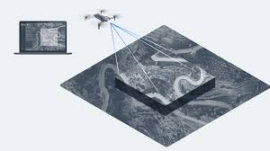
3. DJI Matrice 4E
Matrice 4E is the better compact choice when the main deliverable is a map, 3D model or measured site record. It is designed for geospatial workflows such as surveying, mapping, construction and mining. For infrastructure teams, it is useful when the problem is measurement and documentation rather than thermal diagnosis.
- Best for: construction progress, roadworks, earthworks, quarries, industrial estates, roof models and site records.
- Why it works: 4/3 CMOS 20 MP wide camera, mechanical shutter and rapid 0.5-second shooting for efficient mapping workflows.
- Recommended buyer: surveyors, construction teams, engineering consultants and contractors needing measurable outputs.
Best for LiDAR survey
4. DJI Matrice 400 + Zenmuse L3
When the project needs accurate terrain, corridor, vegetation penetration or 3D infrastructure modelling, LiDAR becomes more important than standard images. Matrice 400 with Zenmuse L3 is the stronger option for survey-grade corridor data, digital twin projects and complex terrain where photogrammetry alone may be limited.
- Best for: rail corridors, transmission routes, embankments, flood defence, forestry-adjacent infrastructure and terrain modelling.
- Why it works: Zenmuse L3 combines long-range LiDAR with dual 100 MP RGB cameras and is designed for high-efficiency geospatial acquisition.
- Recommended buyer: survey companies, engineering firms, infrastructure owners and GIS teams.
Best for repeatable remote inspection
5. DJI Dock 3 + Matrice 4TD
If the same site needs repeated checks, a docked drone can be more valuable than sending a pilot to site every time. DJI Dock 3 with Matrice 4TD is suitable for scheduled patrols, event-based checks and remote visual or thermal awareness at fixed or mobile deployment locations.
- Best for: ports, energy sites, logistics hubs, industrial campuses, construction compounds and critical facilities.
- Why it works: Dock 3 supports automated remote operations with Matrice 4D/4TD, IP56 dock protection and operation from -30° to 50° C under DJI specifications.
- Recommended buyer: organisations needing repeatable monitoring rather than occasional manual flights.

Infrastructure Inspection Use Cases in Ireland
Different infrastructure assets require different data. A bridge inspection may need visual zoom and 3D context. A substation may need thermal review. A transmission route may need LiDAR and vegetation analysis. The table below maps common Irish use cases to the most suitable DJI setup.
| Asset type | Common inspection problem | Recommended setup | Expected output |
|---|---|---|---|
| Powerlines and pylons | Component damage, vegetation, access risk, long corridors | Matrice 400 + H30T or L3 | Zoom imagery, thermal notes, geotagged defects, corridor data |
| Substations and energy sites | Heat anomalies, security, restricted access | Matrice 400 + H30T or Dock 3 + 4TD | Thermal records, visual evidence, recurring inspection log |
| Bridges and structures | Cracking, staining, corrosion, hard-to-reach areas | Matrice 400 + H30T or Matrice 4T | High-zoom photos, annotated defect map, inspection video |
| Roads, rail and embankments | Terrain change, drainage, slope condition, vegetation | Matrice 4E or Matrice 400 + L3 | Orthomosaic, 3D model, LiDAR point cloud, terrain model |
| Wind and solar energy | Blade damage, PV hotspots, site access, recurring monitoring | Matrice 400 + H30T, Matrice 4T or Dock 3 + 4TD | Thermal/visual inspection report, defect imagery, maintenance priorities |
| Construction and industrial sites | Progress tracking, roof checks, safety documentation, asset records | Matrice 4E, Matrice 4T or Dock 3 | Maps, progress photos, 3D models, remote patrol records |
Recommended Drone Inspection Workflow
A professional inspection workflow should start with the asset question, not the drone model. The drone is only useful if the data helps engineers, facilities managers or asset owners make a clear decision.
What Should a Professional Inspection Deliver?
The output should match the decision the client needs to make. A folder of random photos is not enough for serious infrastructure work. The best inspection reports organise drone data into findings, asset locations and next actions.
Visual inspection record
High-resolution and zoom images showing visible defects, corrosion, cracking, staining, loose parts, blocked drainage or access problems.
Thermal evidence
Thermal images or videos for electrical assets, PV panels, equipment, heat loss and emergency response, interpreted by qualified personnel.
Maps and 3D models
Orthomosaics, 3D models and measurable site records for construction, roads, quarries, roofs and industrial layouts.
LiDAR point clouds
Point clouds, terrain models and corridor data for survey projects where vegetation, slopes or complex structures make ordinary imagery less reliable.
Defect log
A structured list of issues with location, image reference, severity, recommended next step and maintenance priority.
Change monitoring
Repeatable records that help asset owners compare the same location over weeks, months or years.
Irish Operating and Compliance Notes
Infrastructure inspection in Ireland must be planned around aviation rules, site permissions and risk assessment. Some lower-risk work may be possible under the Open category, but many infrastructure jobs involve complex environments, heavier aircraft, controlled ground areas, people nearby, roads, rail, ports, energy assets or extended-distance operations.
Where an operation is not covered by a standard scenario or pre-defined risk assessment, operators may need a Specific Operations Risk Assessment and relevant Operational Authorisation. Irish teams should confirm permissions before planning BVLOS, urban, restricted-area, road, rail, port or sensitive-infrastructure operations.
FAQ: Infrastructure Inspection Drones in Ireland
What is the best drone for infrastructure inspection in Ireland?
For major infrastructure, DJI Matrice 400 with Zenmuse H30T is the strongest overall choice. For compact thermal inspection choose Matrice 4T, for mapping choose Matrice 4E, for LiDAR choose Matrice 400 with Zenmuse L3, and for recurring remote inspection choose DJI Dock 3 with Matrice 4TD.
Is Matrice 400 better than Matrice 4T for inspection?
Matrice 400 is better for large, complex and long-duration infrastructure work because it supports heavier payloads and multi-payload operations. Matrice 4T is better when the team needs a smaller thermal drone for fast deployment and shorter inspection tasks.
Which drone is best for powerline inspection?
For powerlines, Matrice 400 with Zenmuse H30T is recommended for visual, zoom and thermal inspection. If the project needs corridor mapping, vegetation modelling or terrain data, Matrice 400 with Zenmuse L3 is more suitable.
Can drones replace manual infrastructure inspection?
No. Drones reduce risk and improve data capture, but they do not replace qualified engineering judgement. Drone inspection is best used to identify issues, prioritise access, document condition and support maintenance decisions.
When is LiDAR needed for infrastructure inspection?
LiDAR is useful when the deliverable requires accurate terrain, 3D geometry, corridor modelling, vegetation penetration or point cloud data. It is often valuable for rail, road, transmission, flood defence and forestry-adjacent infrastructure.
When does DJI Dock 3 make sense?
DJI Dock 3 makes sense when the same location needs frequent or scheduled inspection. It is most useful for energy sites, ports, industrial campuses, logistics hubs, construction compounds and facilities where repeated manual site visits are inefficient.
Do infrastructure drone inspections in Ireland need special approval?
It depends on the aircraft, location and risk profile. Complex infrastructure work may require operational authorisation, especially near roads, rail, ports, restricted airspace, urban environments or sensitive sites. Operators should confirm the correct category and permissions before flying.
Need Help Choosing an Inspection Drone?
Tell Irish Drone what you need to inspect, how often you need to fly, whether you need thermal, mapping, LiDAR or remote operations, and what reporting output your client expects. We can help you choose the right DJI aircraft, payload and software workflow for infrastructure inspection in Ireland.
Contact Irish Drone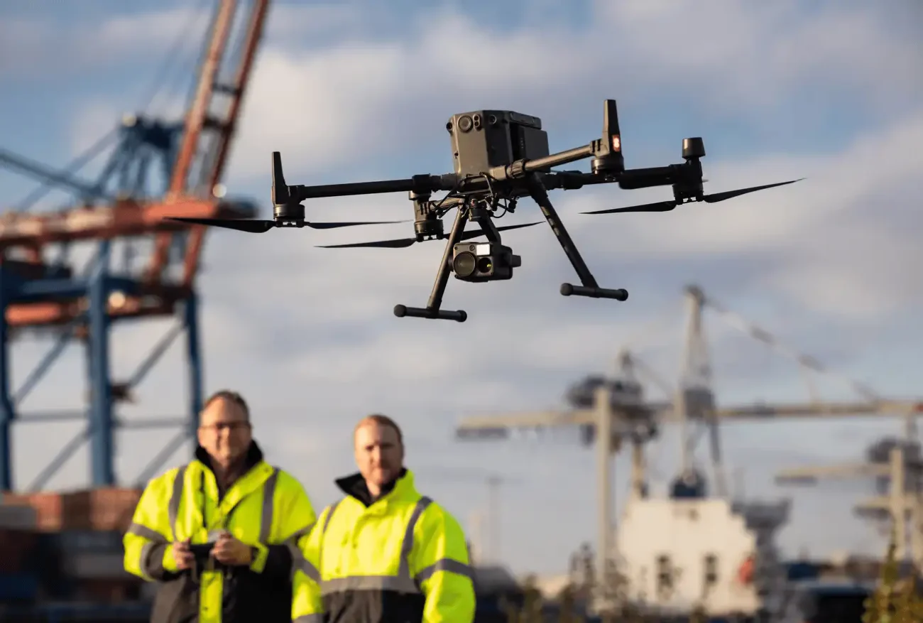
Leave a comment