
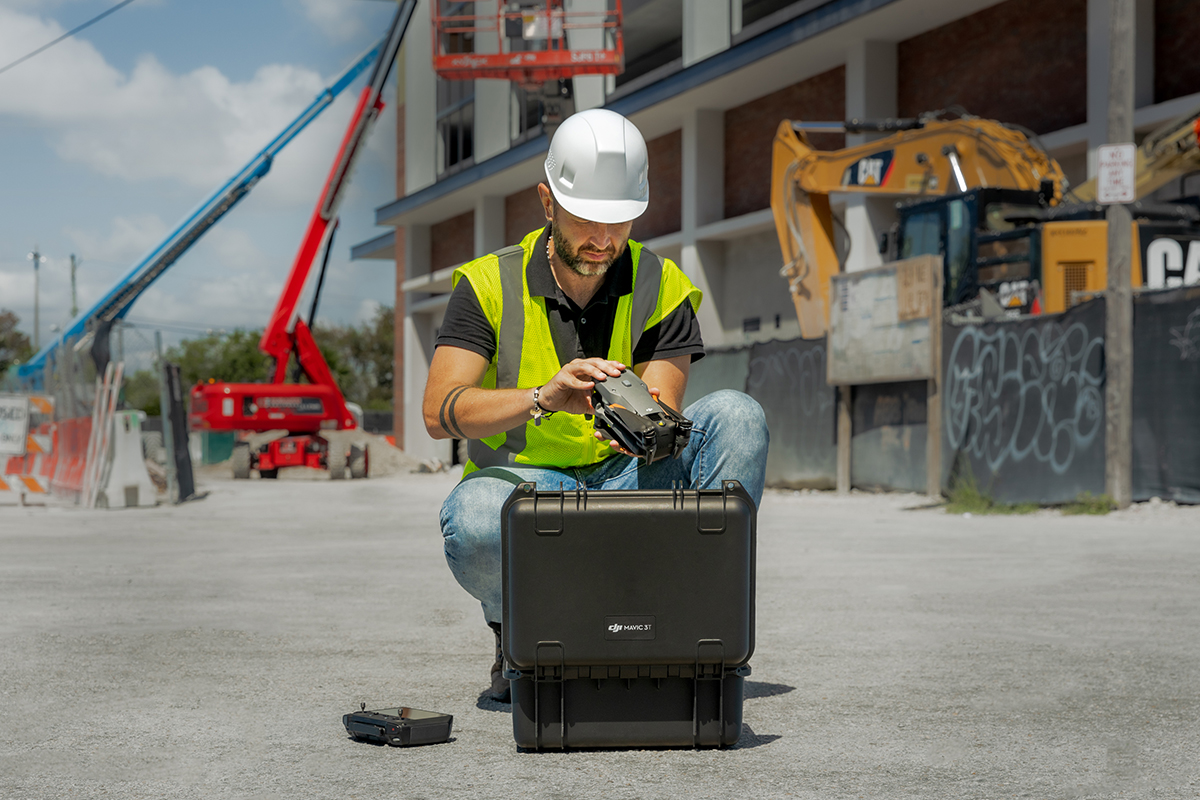
Calculating enterprise drone ROI is not the same as choosing the cheapest aircraft. A DJI Matrice 4E used for construction mapping, a DJI Matrice 4T used for thermal inspection, a DJI Matrice 400 carrying Zenmuse L3, and a DJI Dock 3 deployment all produce value in different ways. The correct ROI calculation starts with the job your business is already paying for.
This guide gives Irish businesses a practical structure for calculating drone investment value before buying. It is written for surveying, construction, engineering, utilities, inspection, public safety, security and large-site operations.

What enterprise drone ROI really means
A weak ROI case says, “The drone is advanced, so we should buy it.” A strong ROI case says, “This drone system will reduce specific costs, remove specific risks and improve specific deliverables.” Management teams, finance teams and project leads are more likely to approve a drone investment when the business value is tied to measurable operations.
ROI is not only cost saving
Cost reduction matters, but drone ROI can also come from faster reports, better safety evidence, higher survey capacity, earlier defect detection and new billable services.
ROI depends on repeat use
One impressive flight rarely pays back an enterprise system. Repeated monthly surveys, weekly inspections, scheduled patrols and standardised reporting are where ROI becomes stronger.
ROI must match the output
A mapping team needs accuracy and reconstruction. An inspection team needs zoom, thermal and safe standoff distance. A remote site needs scheduled operation and fleet oversight.
The enterprise drone ROI formula
The basic calculation is simple. The important part is using real workflow data instead of guessing.
For most Irish businesses, ROI should be reviewed across two timeframes: a 12-month view and a 36-month view. The 12-month view shows whether the investment makes short-term operational sense. The 36-month view is often more realistic for enterprise systems because training, repeat templates and internal adoption improve over time.
Costs to include before buying
A realistic business case includes more than the aircraft. If you only count the drone price, the ROI calculation will look attractive but may fail after purchase. Include the whole operating system.
Aircraft, payloads and accessories
Include the drone, controller, batteries, charger or battery station, payloads, storage case, RTK equipment, lights, speakers, mounts and spare parts.
Training and internal process
Include pilot training, mission planning, flight logs, maintenance procedures, data handling, safety checks and internal approval time.
Processing and fleet management
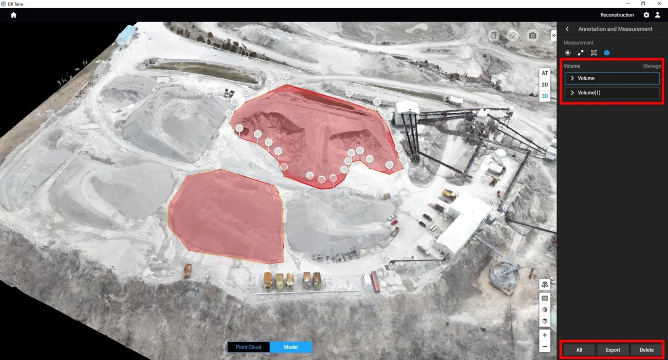
Mapping, LiDAR and remote operations depend on software. Consider DJI Terra for reconstruction and DJI FlightHub 2 for fleet and mission management.
Maintenance and downtime
Plan for propellers, batteries, calibration, service, cleaning, payload care, firmware updates, repair cover and downtime during busy project periods.
Benefits to measure in an ROI case
The strongest ROI cases use measurable business benefits. Avoid vague claims such as “better efficiency”. Instead, identify where time, cost, access risk or decision delay is reduced.
| Benefit area | How to measure it | Irish business examples |
|---|---|---|
| Reduced labour hours | Compare crew size and time-on-site before and after using the drone workflow. | Construction mapping, quarry surveys, roof inspections, road progress checks. |
| Reduced access cost | Track avoided MEWP, scaffold, rope access, lane closure, shutdown or helicopter cost. | Bridges, façades, wind turbines, powerlines, industrial roofs, telecom towers. |
| Faster reporting | Measure the time from site visit to usable deliverable. | Progress reports, inspection evidence, storm damage records, emergency mapping. |
| Better safety control | Record fewer climbs, fewer hours near live infrastructure and fewer people in high-risk areas. | Utilities, quarries, ports, coastal assets, roads, fire scenes and large industrial sites. |
| New revenue | Track additional billable surveys, inspection contracts or monitoring services. | Surveying firms, engineering consultants, drone service providers and contractors. |
Which DJI Enterprise system creates the best ROI?
There is no single “best ROI drone” for every Irish business. The best system depends on the work package. The table below gives a practical starting point.
| Business goal | Recommended DJI direction | Why it can improve ROI |
|---|---|---|
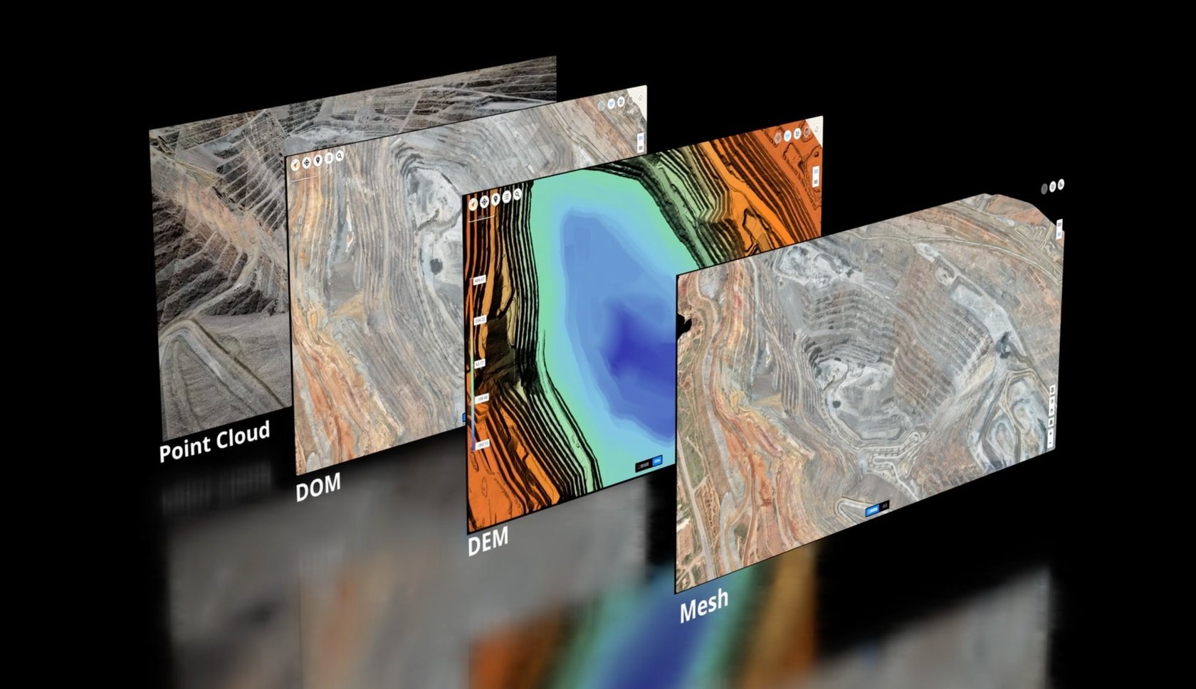
| Fast RTK mapping for construction and survey teams | Matrice 4E + D-RTK 3 + DJI Terra | Portable mapping workflow for repeat site capture, stockpile work, progress records and 3D reconstruction. |
| Thermal inspection and mixed day/night response | Matrice 4T | Useful for roof heat loss, solar PV checks, facility inspection, security, public safety and fast deployment by small teams. |
| Large infrastructure inspection and heavier payload operations | Matrice 400 + Zenmuse H30T or Zenmuse L3 | Better fit for powerlines, wind farms, long corridors, major inspection campaigns and LiDAR workflows. |
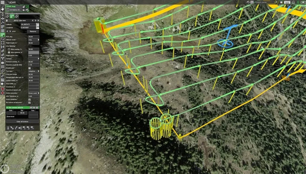
| Large-area LiDAR and engineering-grade terrain data | Matrice 400 + Zenmuse L3 + DJI Terra | Suitable when point clouds, terrain models, corridor data and repeat geospatial deliverables drive project value. |
| Repeated remote monitoring and scheduled missions | DJI Dock 3 + Matrice 4D / 4TD + FlightHub 2 | Can reduce travel, speed up response and standardise repeat patrols or inspection routes for large or remote sites. |
Practical ROI examples for Irish businesses
The examples below are not fixed financial promises. They show how an Irish business should structure its own spreadsheet using actual labour rates, access costs, software costs and job frequency.
Example 1: Construction progress and earthworks reporting
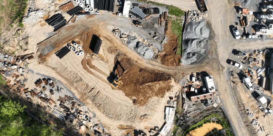
A contractor currently pays for monthly survey updates and loses time when project teams rely on old site information. A Matrice 4E workflow can support repeat RTK mapping, 3D models and progress evidence.
Example 2: Powerline, wind turbine or industrial inspection
An infrastructure team uses manual inspection, specialist access and planned downtime. A Matrice 400 with H30T or L3 can support safer standoff inspection, thermal evidence, zoom detail and asset records.
Example 3: Remote site monitoring with Dock 3
A large site, depot, energy asset, quarry or critical facility needs frequent checks. DJI Dock 3 can support scheduled missions, remote monitoring and repeat routes when site travel dominates the cost.
How to build your drone ROI spreadsheet
A good ROI spreadsheet should be simple enough for management to challenge. Use the same calculation for each target workflow so you can compare mapping, inspection, thermal response and remote monitoring fairly.
1. Current workflow cost
Record labour, travel, contractor cost, access equipment, downtime, reporting time, rework and delays.
2. Drone workflow cost
Record pilot time, setup, flight time, processing, software, maintenance, reporting and internal review.
3. Value difference
Subtract the drone workflow cost from the current workflow cost, then multiply by realistic annual mission volume.
| Spreadsheet line item | Question to answer | Why it matters |
|---|---|---|
| Mission frequency | How many times per month or year will this be flown? | Repeat missions make ROI stronger than one-off flights. |
| Time saved per mission | How many hours or days does the drone remove? | This is usually the clearest operational saving. |
| Access cost avoided | What equipment hire, shutdowns or specialist contractors can be reduced? | Inspection ROI often comes from avoiding expensive access, not from flight time alone. |
| Data value | Does the output support design, BIM, maintenance, safety, compliance or commercial decisions? | Reusable data increases long-term value. |
| Risk reduction | Which risky tasks are removed or shortened? | Safety value is not always easy to price, but it is often decisive for approval. |
A 90-day plan to prove ROI before scaling
Before buying a larger fleet, run a focused 90-day trial around one high-value workflow. The purpose is not to produce nice aerial photos. The purpose is to prove whether the drone system improves a real business process.
- Choose one workflow. Examples include monthly progress mapping, quarry stockpiles, powerline inspection, roof inspection, solar PV checks, site patrols or emergency response support.
- Record the baseline. Use recent jobs to record labour hours, travel, access cost, report turnaround, safety exposure and delays.
- Choose equipment around the output. Mapping needs RTK and reconstruction. Inspection needs zoom, thermal, standoff distance and reporting. Remote operations need Dock 3, FlightHub 2 and site planning.
- Create standard templates. Use repeatable flight routes, file naming, folder structure, inspection checklists and reporting formats.
- Measure every mission. Track time on site, people required, data processed, issues found, report time and costs avoided.
- Review after 90 days. Compare the old workflow with the drone workflow and decide whether to expand, adjust or outsource.
FAQ: Enterprise drone ROI in Ireland
What is the fastest way to calculate enterprise drone ROI?
Start with one repeatable workflow. Compare current cost against drone workflow cost, then multiply the difference by annual mission volume. Add any measurable access cost avoided, reporting time saved and new revenue potential.
Which DJI drone gives the best ROI for surveying?
For many Irish construction and mapping teams, Matrice 4E with RTK and DJI Terra is a practical starting point. For larger LiDAR, corridor, quarry, forestry or infrastructure projects, Matrice 400 with Zenmuse L3 may create stronger value.
Which drone system is better for inspection ROI?
For compact thermal inspection and fast deployment, Matrice 4T is often suitable. For larger infrastructure, long-distance inspection, heavy payloads or mixed sensor work, Matrice 400 with H30T or L3 is usually the stronger direction.
When does DJI Dock 3 make financial sense?
Dock 3 makes most sense when the site needs repeated missions, remote monitoring or rapid response. If a team only needs occasional flights, a manually deployed drone may be easier to justify.
Should ROI include safety benefits?
Yes. Safety benefits may be difficult to price, but they are often a key reason to use drones. Reduced working-at-height exposure, fewer people near hazards and better inspection evidence should be included in the business case.
Final recommendation
For Irish businesses, enterprise drone ROI should be calculated around the workflow, not the aircraft alone. A surveyor may justify Matrice 4E because it improves repeat mapping and reporting. A utility or infrastructure team may justify Matrice 400 because it reduces risky access and supports better inspection evidence. A geospatial team may justify Zenmuse L3 because LiDAR deliverables become part of engineering decisions. A large-site operator may justify Dock 3 because it reduces travel and supports scheduled remote missions.
Start with one measurable problem, choose the DJI Enterprise system that fits that problem, and track results for 90 days. When the data shows fewer manual hours, safer access, faster reporting and better decisions, the ROI case becomes much easier to defend.
Need help building a drone ROI case?
Irish Drone can help Irish businesses compare DJI Enterprise platforms, match aircraft to workflows and plan surveying, inspection, thermal, LiDAR or Dock 3 operations.
Leave a comment