
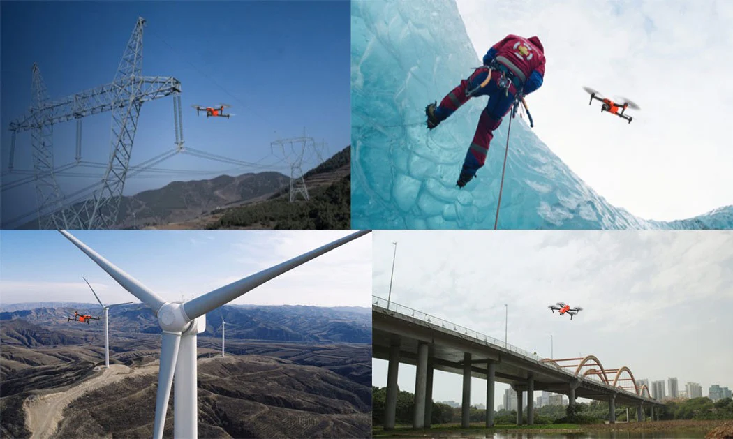
Enterprise drones are no longer just useful for aerial photos. For Irish businesses, they are becoming practical tools for surveying, inspection, construction reporting, utilities, renewable energy, public safety, environmental monitoring and remote operations. The key is to choose the drone workflow around the business task, not around the most expensive aircraft.
Quick answer: where enterprise drones create the most value
The strongest drone applications in Ireland are usually the ones where teams need safer access, faster site data, repeatable records or better visibility of assets that are difficult, remote, hazardous or expensive to inspect manually.
| Application | Typical Irish user | Recommended DJI direction |
|---|---|---|
| Surveying and mapping | Surveyors, engineers, quarry teams, contractors | Matrice 4E for compact mapping; Matrice 400 + Zenmuse L3 for advanced LiDAR |
| Infrastructure inspection | Utilities, telecoms, bridges, ports, industrial sites | Matrice 4T for mobile inspection; Matrice 400 + H30T for demanding sites |
| Construction progress | Developers, civil contractors, project managers | Matrice 4E + RTK + DJI Terra; Dock 3 for repeatable site records |
| Renewable energy | Solar farms, wind operators, electrical contractors | Matrice 4T or Matrice 4TD for thermal checks; Matrice 400 + H30T for larger assets |
| Public safety and security | Emergency teams, security, local authorities, civil defence | Matrice 4T for rapid response; Dock 3 + 4TD for remote readiness |
Why Irish businesses are adopting enterprise drones
Ireland has many conditions where drones make practical business sense: scattered rural assets, coastal weather, construction growth, renewable energy expansion, road and bridge maintenance, utility corridors, agricultural land, forestry and public safety operations. Many of these sites are difficult to access by foot, ladder, rope, vehicle or scaffold.
A drone does not replace professional judgement, but it can reduce unnecessary exposure to height, traffic, electrical assets, water, unstable ground and restricted industrial areas. It can also turn a site visit into a repeatable digital record: maps, thermal images, zoom inspection photos, point clouds, 3D models and progress reports.
Safer access
Inspect roofs, towers, bridges, quays, lines and slopes before sending people into higher-risk locations.
Faster reporting
Collect site-wide imagery, measurements and records faster than manual inspection alone.
Better decisions
Give engineers, project managers and asset owners clearer evidence for maintenance, planning and investment.
1. Surveying, mapping and geospatial data
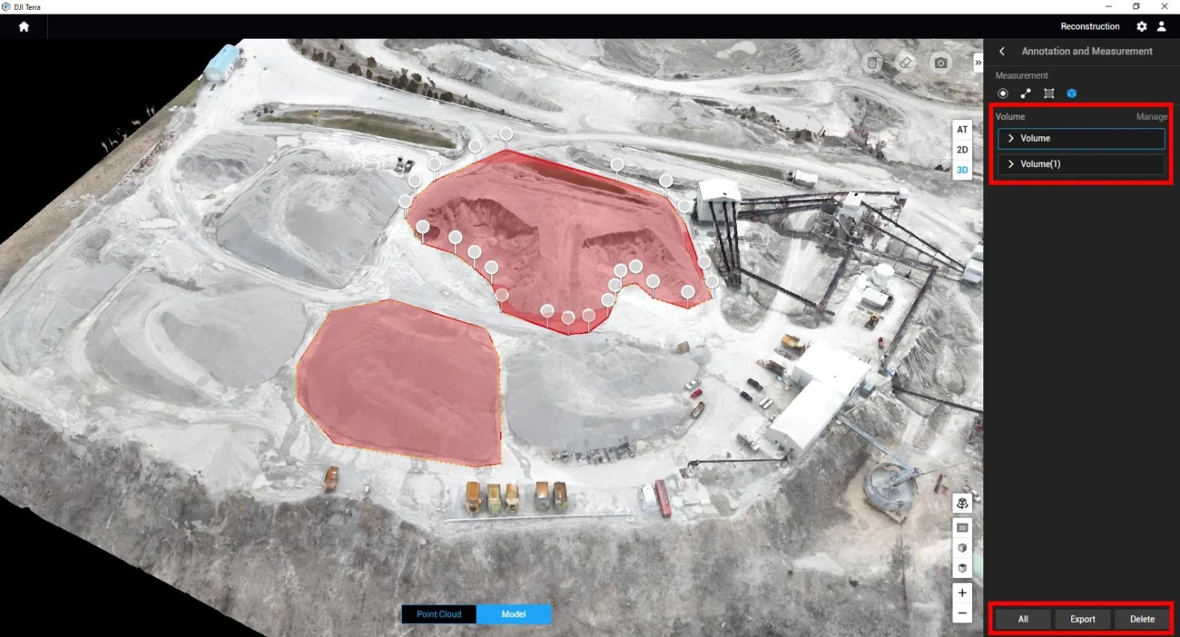
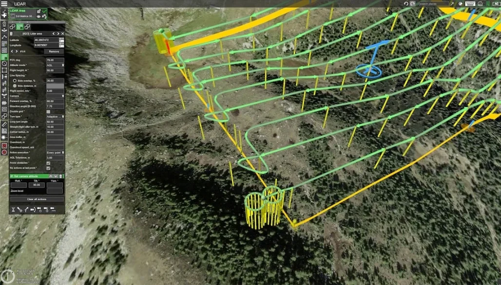
Surveying is one of the most direct enterprise drone applications. Irish surveyors, civil engineers, quarry teams and land consultants can use drones to capture site maps, orthomosaics, 3D models, contours, stockpile measurements and project records.
DJI Matrice 4E is the practical starting point for many mapping teams because it is compact and built around geospatial workflows. Its 4/3-inch 20MP wide camera, mechanical shutter, short photo interval and RTK workflow make it suitable for repeatable mapping, construction progress and stockpile capture.
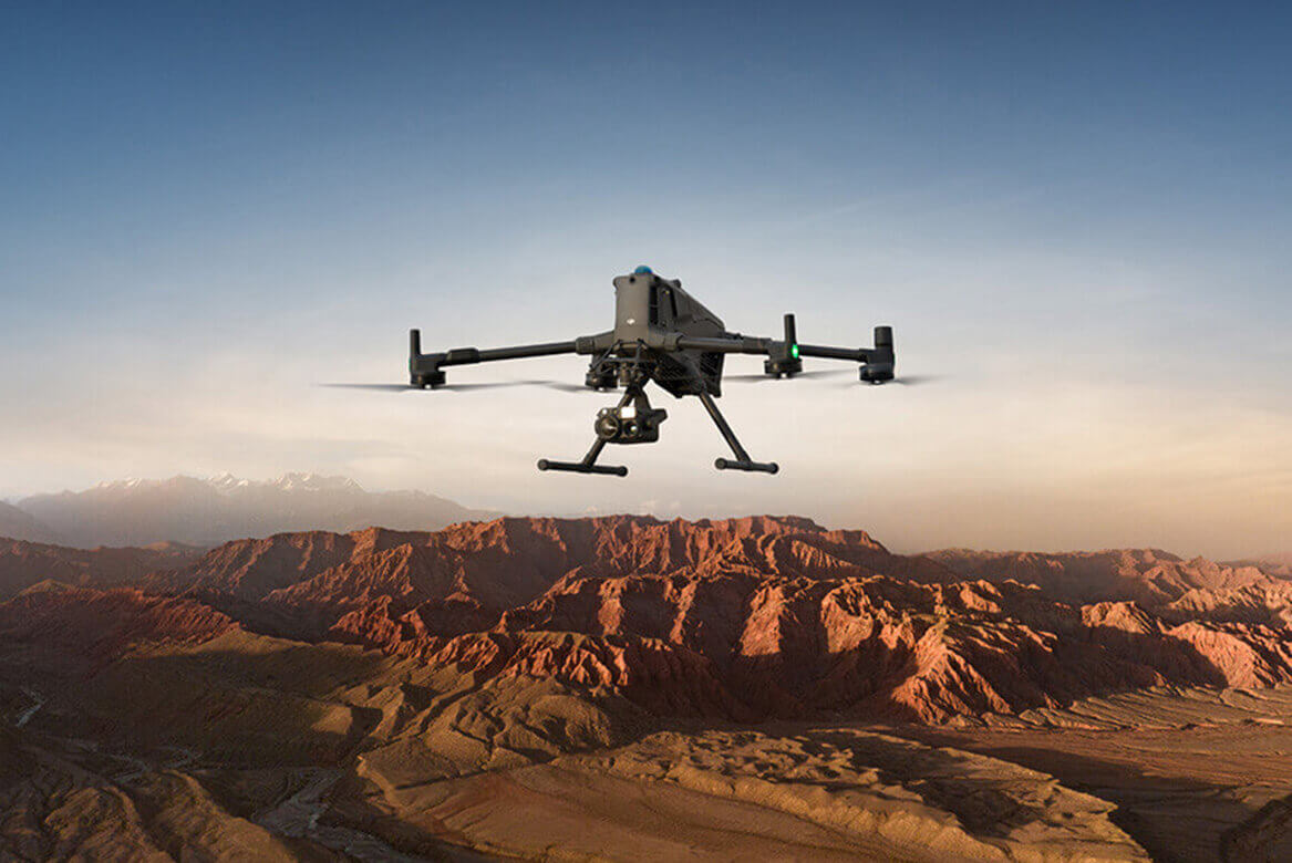
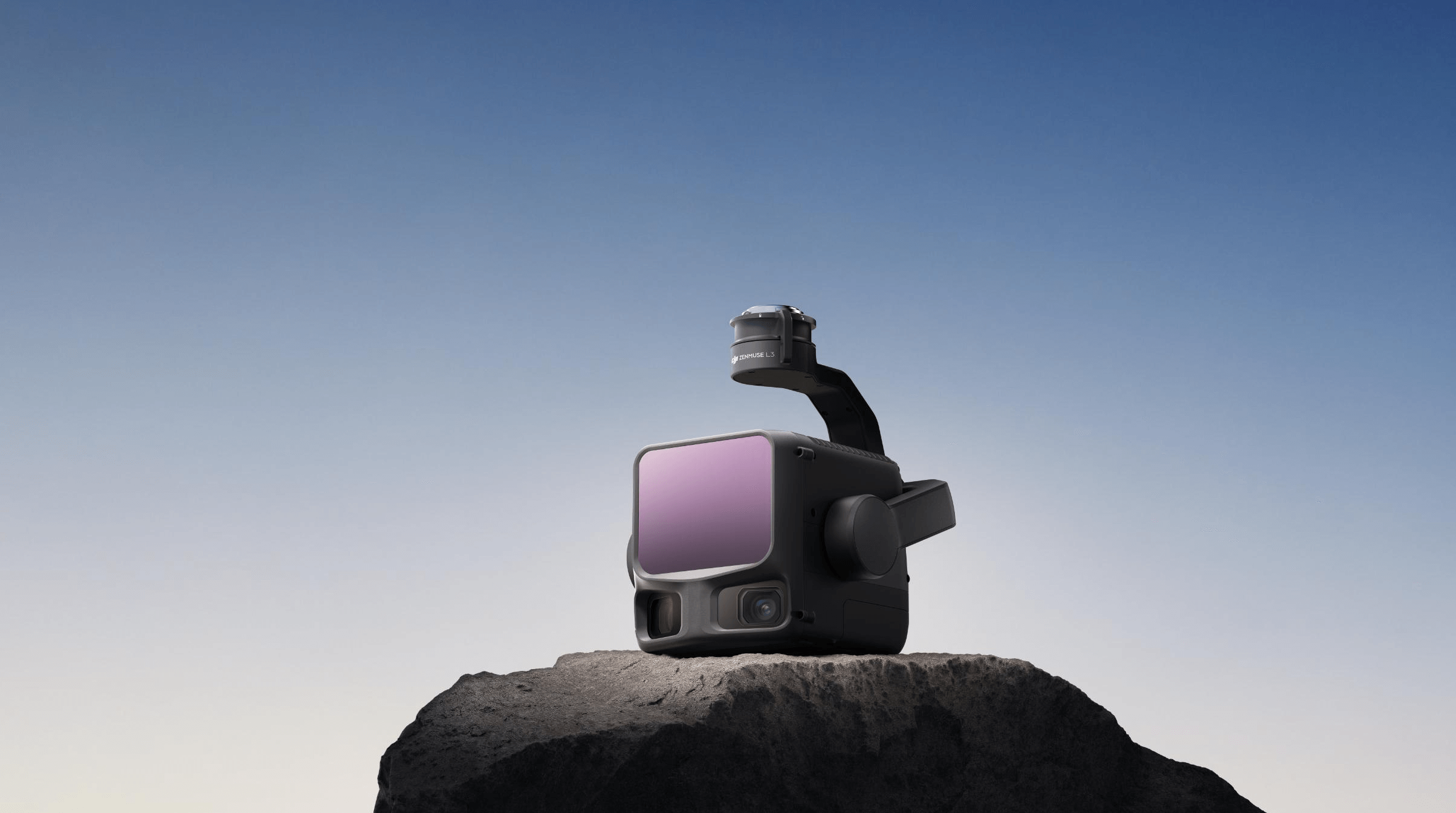
For larger projects, vegetation, corridor mapping, forestry structure, high walls or complex terrain, DJI Matrice 400 with Zenmuse L3 is the stronger option. Zenmuse L3 combines long-range LiDAR with dual 100MP RGB mapping cameras, making it suitable for point clouds, terrain modelling and high-value survey deliverables.
Best use cases
- Topographic surveys for construction and planning.
- Quarry stockpile measurement and high-wall documentation.
- Road, rail, pipeline and utility corridor mapping.
- Flood defence, drainage and land development records.
- Forestry structure, slope analysis and access planning.
2. Construction progress, earthworks and site reporting
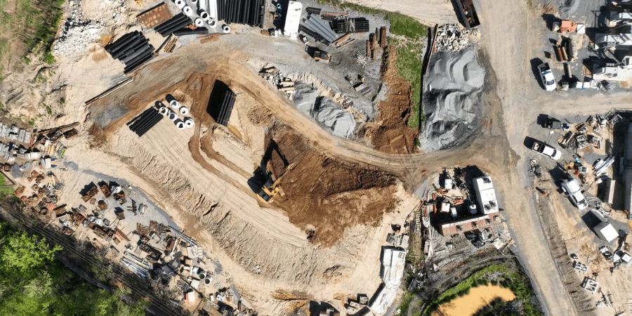
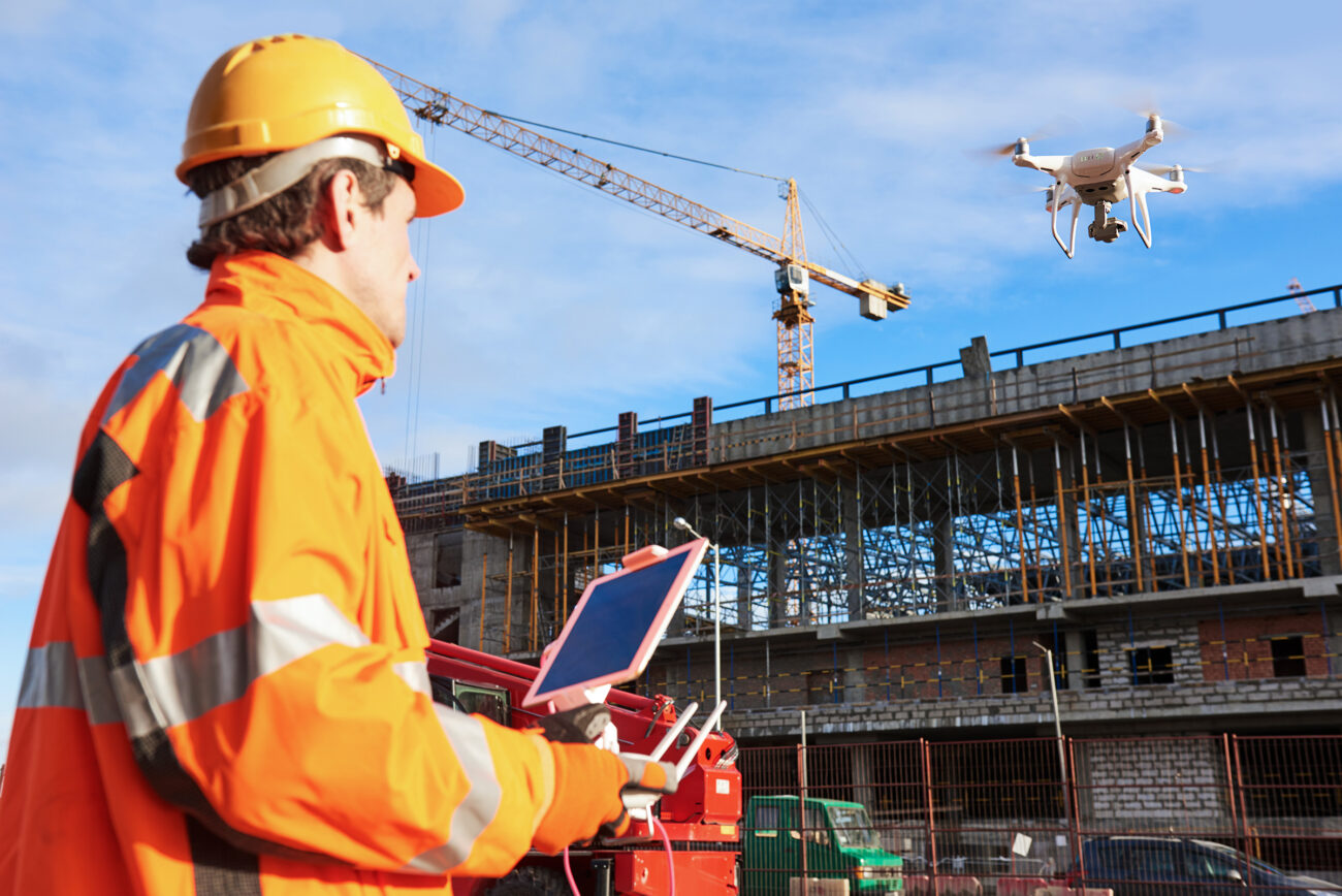
Construction teams need accurate records, not just attractive aerial photos. A properly planned drone workflow can show earthworks progress, stockpile movement, roof installation, site access changes, crane areas, temporary works, drainage routes and contractor progress.
For most sites, a weekly or monthly Matrice 4E mapping mission can create consistent data for site meetings and reporting. On larger infrastructure or earthworks projects, Matrice 400 + Zenmuse L3 may be better where LiDAR, terrain data or greater coverage are required.
Practical point: the drone is only one part of construction reporting. The real value comes from a repeatable flight plan, consistent ground control or RTK workflow, clear file naming, agreed reporting format and a process for comparing changes over time.
3. Powerline, substation and utility inspection
Utility inspection is one of the strongest enterprise drone applications because assets are often high, remote, hazardous or difficult to access. Drones can help teams inspect poles, conductors, insulators, substations, transformers, vegetation encroachment, access roads and storm damage from a safer distance.
DJI Matrice 4T is a strong field option for compact inspection because it combines visual, zoom, thermal, NIR and laser rangefinder capability in a mobile platform. For longer industrial missions, wide utility routes or higher-value inspections, Matrice 400 with Zenmuse H30T provides more endurance and stronger payload flexibility.

Useful inspection outputs
- High-resolution visual evidence of asset condition.
- Thermal images for identifying abnormal heat patterns.
- Zoom images captured from safer standoff distances.
- Location-tagged inspection records for maintenance teams.
- Repeatable before-and-after records for repair work.
4. Solar farms, wind turbines and renewable energy assets
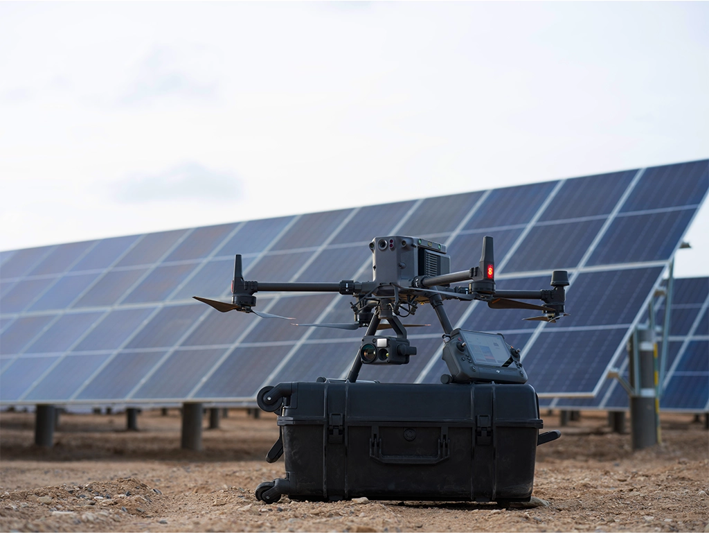
Renewable energy operators in Ireland need to inspect large sites quickly without unnecessary shutdowns, rope access or long manual walks. Drones can support solar module checks, inverter area inspection, wind turbine blade review, tower condition checks, access road surveys and site security.
For solar farms and smaller renewable sites, Matrice 4T or Matrice 4TD can be practical because they offer compact thermal inspection capability. For large wind assets, wider sites and longer mission windows, Matrice 400 with H30T gives the operator more flight time, stronger payload options and better inspection flexibility.
Solar inspection
Use thermal and visual data to screen modules, strings, inverter areas, cable routes, fencing and access roads. Thermal data should be captured under appropriate conditions for reliable results.
Wind inspection
Use zoom inspection to document blades, leading edges, lightning receptors, towers and nacelles while reducing manual access requirements where appropriate.
5. Roof, facade and building inspection
For property managers, roofing contractors, local authorities, insurers and facilities teams, drones offer a safer first look at roofs and facades. Instead of arranging access equipment before understanding the problem, teams can use aerial imagery to identify damaged roof areas, blocked gutters, facade defects, rooflights, plant equipment and drainage issues.
Matrice 4T is often the most practical choice for this type of work because it is portable, multi-sensor and suitable for visual and thermal inspection. For taller structures, industrial sites or where a greater standoff distance is needed, Matrice 400 with H30 or H30T may be the better inspection platform.
6. Public safety, emergency response and security
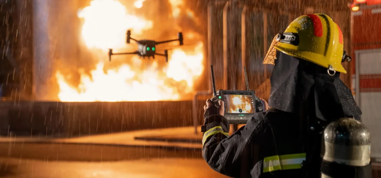
Public safety teams need fast situational awareness. Drones can help with search support, fire scene overwatch, flood response, traffic incident awareness, event safety, site security and emergency command visibility. Thermal imaging, zoom, live video and clear coordination workflows are more important than cinematic image quality.
Matrice 4T is suited to rapid response and mobile deployment. Matrice 400 with H30T is stronger for larger search areas, longer missions and more demanding scenes. DJI Dock 3 with Matrice 4TD is relevant when an organisation needs remote readiness or repeated monitoring from a known location.
7. Agriculture, forestry and environmental monitoring
In agriculture and land management, drones can help document drainage problems, crop or grassland condition, storm damage, boundary issues, livestock locations, erosion, riverbanks and environmental change. For forestry, drones can support access planning, canopy assessment, storm damage review and terrain documentation.
For general land and forestry inspection, Matrice 4T provides useful thermal and visual awareness. For terrain, canopy and structural data, Matrice 400 with Zenmuse L3 is more suitable because LiDAR can capture information that standard RGB imagery may miss.
8. Remote drone-in-a-box operations
Some businesses do not need occasional flights; they need repeated monitoring. Examples include industrial security patrols, solar farm checks, construction megasite progress, remote asset inspection, emergency readiness and port or logistics visibility.
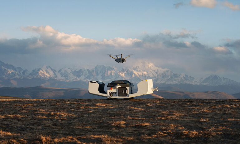
DJI Dock 3 supports Matrice 4D and Matrice 4TD for 24/7 remote operations and mobile vehicle-mounted deployment. This can shift drone use from “send a pilot when needed” to “collect structured aerial data on a schedule”, provided the business has the correct operating case, site preparation, connectivity, maintenance plan and authorisation route.
How to choose the right DJI enterprise setup
Do not start with the drone model. Start with the deliverable. A surveying team needs different data from a facilities team, and a public safety team needs different information from a solar farm operator.
| If the main deliverable is… | Prioritise… | Likely DJI route |
|---|---|---|
| Orthomosaics, 3D models and site measurements | Mechanical shutter, RTK workflow, image overlap and software processing | Matrice 4E, DJI Terra, D-RTK workflow |
| Thermal and zoom inspection evidence | Thermal resolution, zoom, standoff distance and clear reporting | Matrice 4T or Matrice 400 + H30T |
| LiDAR point clouds and terrain data | LiDAR range, returns, point-cloud accuracy and survey control | Matrice 400 + Zenmuse L3 |
| Repeatable remote monitoring | Dock location, connectivity, procedures, maintenance and permissions | DJI Dock 3 + Matrice 4D or 4TD |
Ireland compliance: plan the operation before quoting the job
Enterprise drone work in Ireland must be planned around IAA and EASA requirements. Many professional drones carry cameras and exceed 250g, so operator registration, pilot competency, insurance, airspace checks, site risk assessment and data handling should be considered before flight.
Operations near people, roads, railways, airports, controlled airspace, industrial facilities, critical infrastructure or beyond visual line of sight may require more detailed planning and, in some cases, Operational Authorisation. Before a business invests in a drone programme, it should confirm whether its intended missions fit the Open category or require Specific category planning.
Important: this article is a buying and workflow guide, not legal advice. Always check current IAA guidance, UAS geographical zones, NOTAMs, local site rules and operational authorisation requirements before flying.
FAQ: enterprise drone applications in Ireland
What is the best enterprise drone for surveying in Ireland?
For many surveying and construction mapping jobs, DJI Matrice 4E is the best starting point because it is compact, RTK-ready and built around mapping with a mechanical shutter. For large sites, forestry, corridors or advanced terrain data, DJI Matrice 400 with Zenmuse L3 is the stronger LiDAR option.
Which drone is best for thermal inspection?
Matrice 4T is a practical compact thermal inspection drone for roofs, utilities, public safety and facility checks. Matrice 400 with Zenmuse H30T is better for larger assets, longer missions and more demanding industrial inspection workflows.
Is DJI Dock 3 suitable for Irish businesses?
Yes, but only when the business has a repeatable use case and the correct operational planning. Dock 3 is best for structured remote monitoring, emergency readiness, industrial sites, construction megasites, solar farms, security patrols and repeat inspection routes.
Should companies choose Matrice 4 Series or Matrice 400?
Choose Matrice 4E or Matrice 4T when portability, fast deployment and compact enterprise workflows matter. Choose Matrice 400 when the job needs longer endurance, heavier payloads, H30T inspection capability, Zenmuse L3 LiDAR or a more advanced enterprise platform.
Can enterprise drones reduce inspection costs?
They can, especially where drones reduce site visits, rope access, scaffolding, shutdowns, manual measurement, repeat travel or safety exposure. The best return usually comes when drone data becomes part of a repeatable reporting workflow rather than a one-off flight.
Need help choosing a DJI enterprise drone for your business?
Irish Drone can help you compare Matrice 4E, Matrice 4T, Matrice 400, Zenmuse H30T, Zenmuse L3 and DJI Dock 3 for surveying, inspection, construction, utilities, public safety, renewables and remote operations in Ireland.
Contact Irish Drone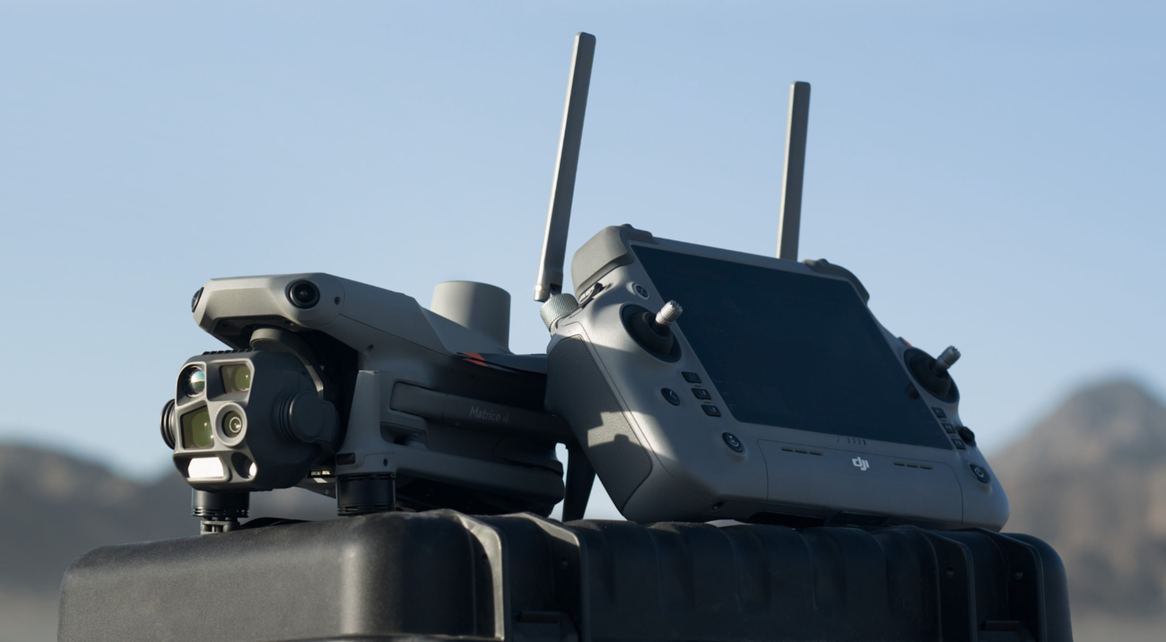
Leave a comment