
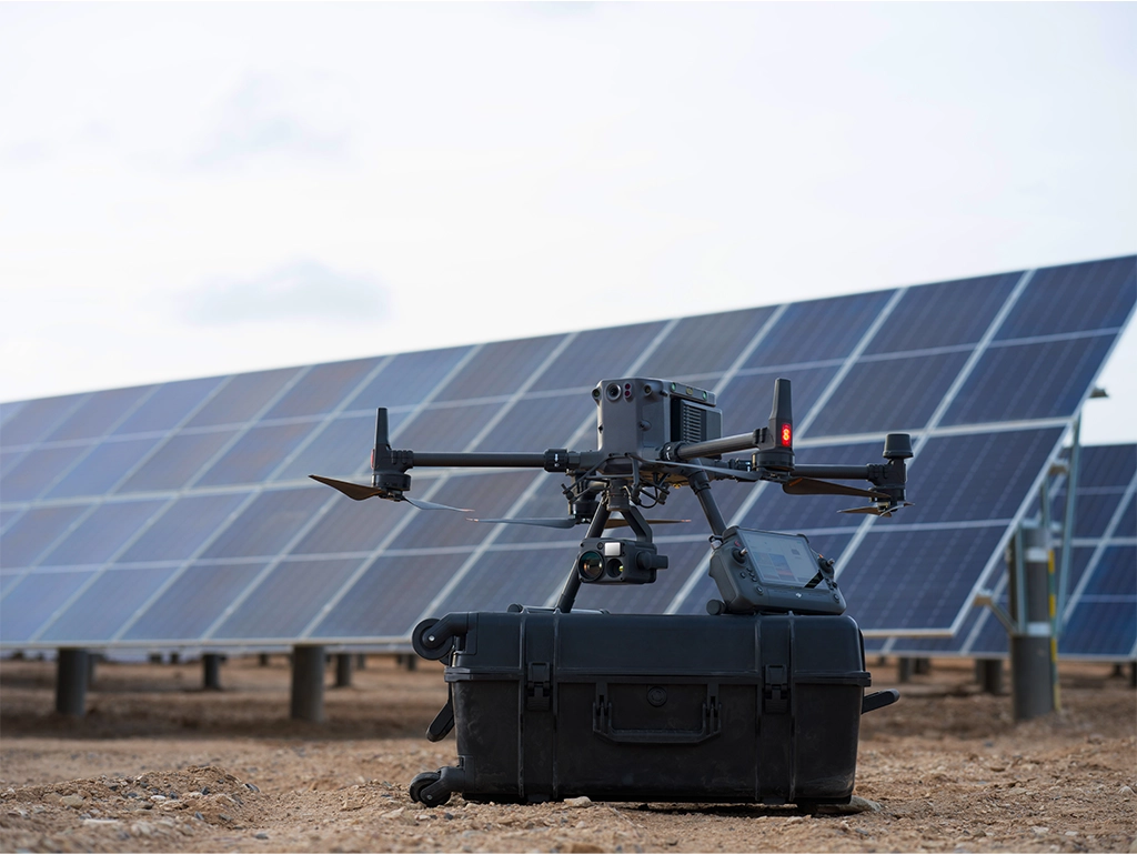
Irish companies are no longer buying drones only for aerial photos. Enterprise drone technology is now being used to reduce manual access risk, inspect assets faster, collect survey data, support emergency response and create repeatable digital records for construction, utilities, renewables, security and infrastructure teams.
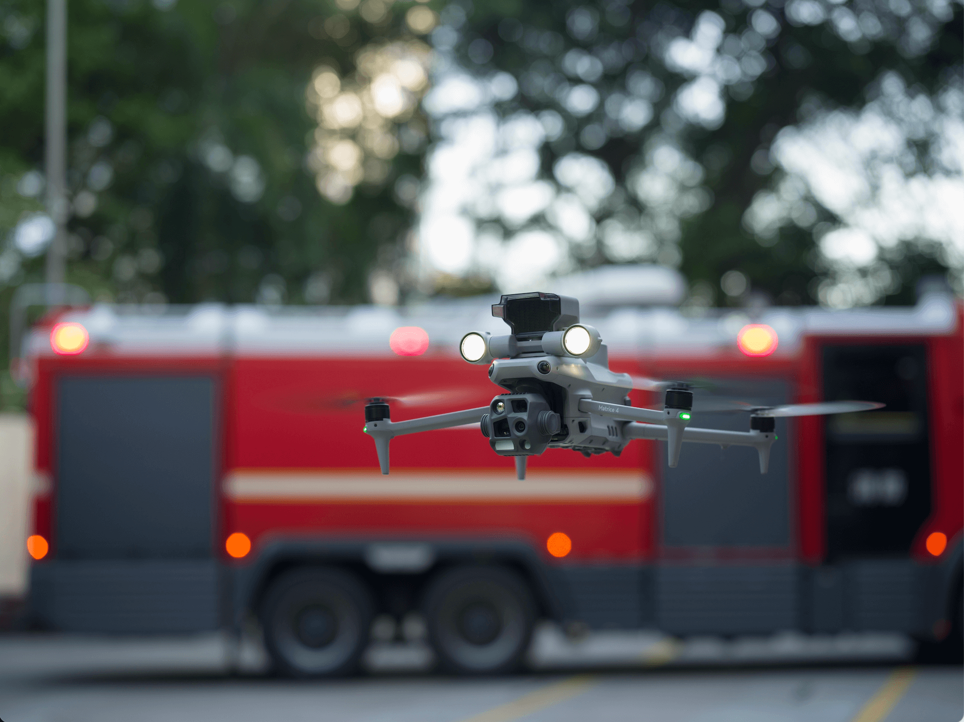
For many Irish businesses, the return on investment is not the drone itself. The real value is the workflow around the drone: the sensor, RTK accuracy, flight planning, safety process, data processing, reporting and how the results are used by engineers, site managers, asset owners or response teams.
Quick answer: Irish businesses are investing in enterprise drones because they can reduce risky manual access, document sites faster, improve inspection evidence, support thermal and LiDAR workflows, and make asset monitoring more repeatable. The best platform depends on the task: Matrice 4E for mapping, Matrice 4T for compact thermal inspection, Matrice 400 for demanding payload work, and DJI Dock 3 for repeated remote operations.
1. Why Irish businesses are investing now
Ireland has many business environments where traditional inspection and surveying are slow or difficult: live construction sites, dispersed rural assets, coastal infrastructure, wind farms, solar farms, industrial buildings, powerline routes, bridges, quarries, farms and forestry sites. These are exactly the places where drones can capture useful data before sending people into harder-to-reach areas.
The technology has also changed. Modern DJI Enterprise drones are not just flying cameras. They can combine RTK positioning, mechanical shutter mapping cameras, zoom cameras, thermal sensors, laser rangefinders, LiDAR payloads, remote dock operations, fleet management software and repeatable mission planning. This makes them more useful for business operations, not just marketing content.
For Irish companies, the strongest reason to invest is usually practical: fewer site visits, less manual access, faster records, clearer reporting and better asset history. The drone becomes a data collection tool that supports safer decisions.
2. The business case: safety, speed, evidence and repeatability
A drone purchase only makes sense when it improves a real workflow. For Irish businesses, the return usually comes from four areas.
Safety
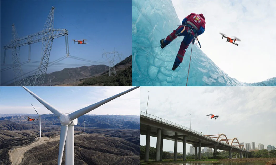
Drone inspection can reduce early manual access to roofs, towers, bridges, wind turbines, live industrial areas, steep slopes, coastal structures and electrical assets. The drone captures an initial record first, so teams can decide where close access is actually needed.
Speed
Drones can cover a site faster than a manual walkdown. This is useful for construction progress, stockpile checks, solar farm screening, roof surveys, harbour assets, route inspections and post-storm visual checks.
Evidence
High-resolution photos, thermal images, RTK mapping data, LiDAR point clouds and repeatable flight records create stronger evidence for reports, insurance claims, engineering reviews, maintenance planning and client communication.
Repeatability
The same route can be flown again and again for progress comparison, asset monitoring and change detection. This is especially important for construction projects, energy assets, industrial facilities and security operations.
3. Key Irish business use cases
Construction and civil engineering
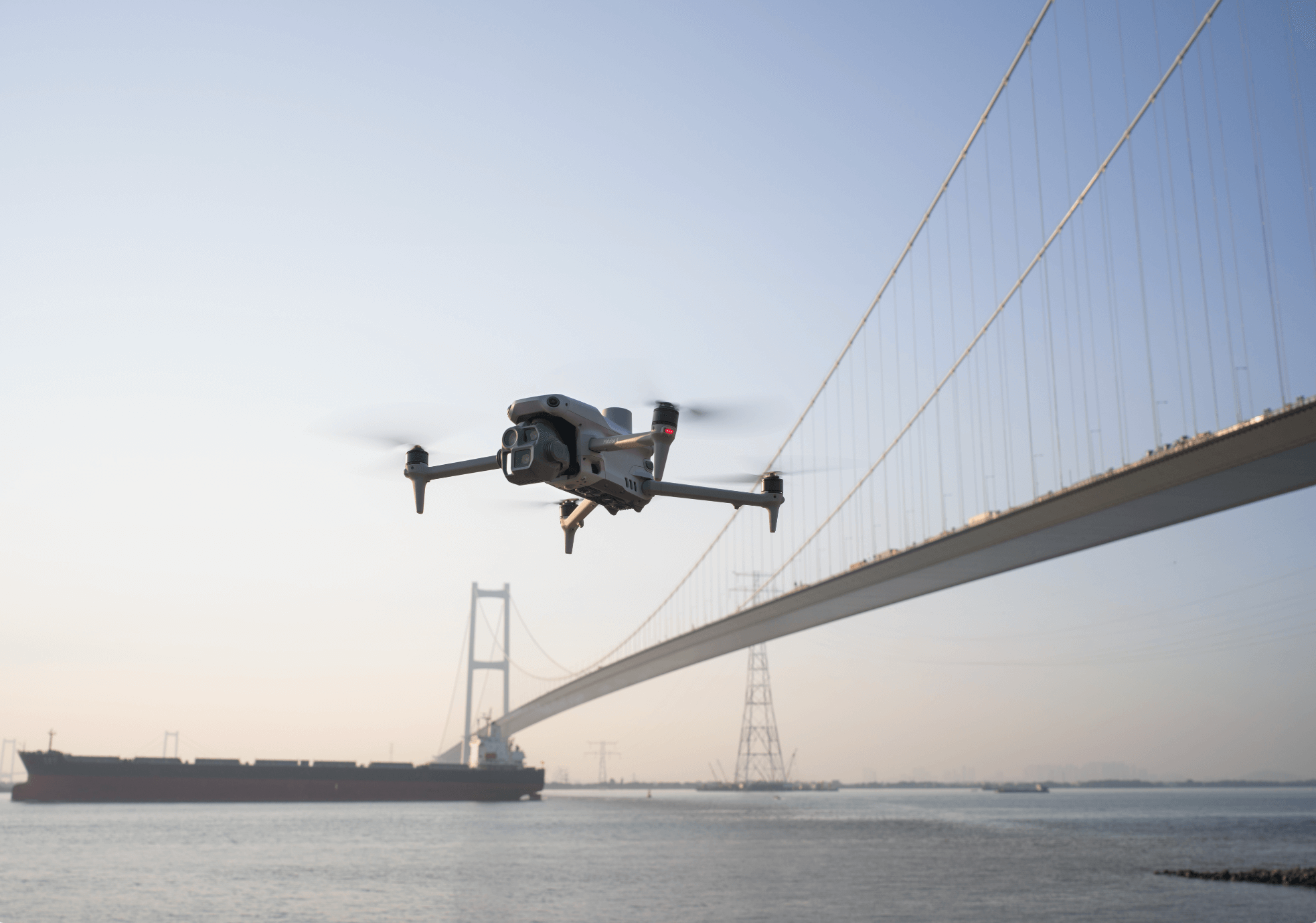
Construction teams use drones to record site progress, monitor earthworks, check roof and façade conditions, document access routes and create visual reports for project meetings. For larger sites, repeatable aerial records can reduce disputes and help teams compare current progress against the planned programme.
Surveying, mapping and stockpile measurement
Surveyors and quarry teams often need orthomosaics, 3D models, stockpile volumes and site records. A mapping-focused platform such as DJI Matrice 4E is suitable for regular photogrammetry work, while Matrice 400 with Zenmuse L3 is better for larger LiDAR and point cloud projects.
Utilities, powerlines and substations
Utility teams can use drones to inspect poles, towers, conductors, insulators, access tracks, substations and related infrastructure from safer positions. Zoom, thermal imaging and laser rangefinding help crews capture useful evidence without always needing a close manual approach.
Renewable energy: solar and wind
Solar farms and wind assets benefit from scheduled inspection because issues can be spread across large areas. Thermal drones can support solar anomaly screening, while zoom cameras can help wind teams inspect blades, towers and nacelles before specialist access is arranged.
Ports, harbours and marine infrastructure
Ireland’s ports, quays, piers, breakwaters, sea walls and coastal assets often face weather exposure and difficult access. Drone inspections can provide a fast visual record after storms, during maintenance planning or before sending crews onto structures.
Public safety, security and emergency response
Drones support incident awareness, search operations, site security, event monitoring and emergency response. Thermal imaging is useful for locating heat signatures, while zoom and live video can help decision-makers understand a scene before ground teams move in.
Environmental monitoring, agriculture and forestry
Environmental consultants, land managers and forestry teams can use drones to document erosion, flood damage, drainage issues, vegetation boundaries, storm damage, access routes and habitat change. LiDAR becomes important when terrain or canopy structure data is needed.
4. Which DJI Enterprise platform fits which job?
The right investment depends on the deliverable. A drone used for mapping is not the same as a drone used for thermal inspection or remote dock operations. Irish businesses should choose by workflow first, then aircraft.
| Platform | Best fit | Why Irish businesses choose it |
|---|---|---|
| DJI Matrice 4E | Surveying, mapping, construction progress, stockpiles and site modelling. | A compact enterprise mapping platform with a 4/3-inch 20MP wide camera, mechanical shutter and RTK workflow for accurate, repeatable site data. |
| DJI Matrice 4T | Thermal inspection, security, public safety, forestry and utility screening. | Portable multi-sensor inspection with visual, zoom, thermal, NIR and laser rangefinder capability for fast field deployment. |
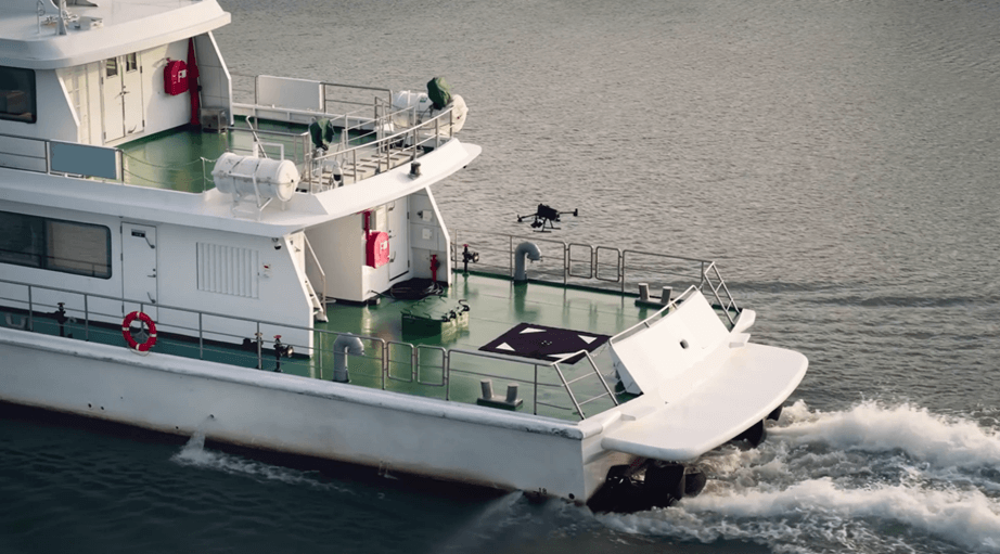
| DJI Matrice 400 | Large infrastructure, utility corridors, LiDAR mapping, marine support and demanding inspection work. | Longer endurance, up to 6 kg payload capacity and compatibility with advanced payloads such as Zenmuse H30T and Zenmuse L3. |
| DJI Dock 3 + Matrice 4D / 4TD | Remote site monitoring, repeatable patrols, industrial security and scheduled inspection routes. | A dock-based workflow can collect structured aerial data on a schedule, where site conditions and authorisation allow it. |
Buying warning: do not choose by model name alone. Choose by payload, operating environment, deliverable and compliance pathway. A Matrice 4E may be excellent for mapping, but a Matrice 4T is better for thermal inspection, while a Matrice 400 is more suitable when long endurance or heavier payloads matter.
5. Payloads are what drive the ROI
For enterprise work, the camera or sensor is often more important than the drone body. A useful payload captures data that would otherwise require specialist access, repeated manual visits or slower inspection methods.
Mapping and RTK
Mapping workflows need consistent imagery, planned overlap, accurate positioning and good processing discipline. Matrice 4E is a practical option for many Irish mapping projects, while D-RTK workflows can help improve positioning and repeatability.
Thermal inspection
Thermal data supports solar inspection, electrical checks, roof surveys, emergency response and security work. It should be collected under suitable weather, lighting and operating conditions, because thermal readings can be affected by environment and surface behaviour.
LiDAR and point clouds
LiDAR is useful when projects require point clouds, terrain data, corridor mapping, forest structure, high-wall inspection or detailed 3D asset documentation. Matrice 400 with Zenmuse L3 is the higher-end option for these workflows.

6. How to build a professional drone workflow
A professional drone programme should not rely on one pilot and one aircraft only. It should have a repeatable process that can be explained to clients, managers and safety teams.
- Define the deliverable. Decide whether the business needs inspection photos, thermal reports, RTK maps, 3D models, LiDAR point clouds, live video or recurring dock missions.
- Choose the payload first. Select thermal, zoom, mapping, LiDAR or speaker/spotlight capability based on the task.
- Plan the operating environment. Review people, roads, airspace, site hazards, weather, obstacles, communications and emergency procedures.
- Collect data consistently. Use repeatable mission settings, flight logs and naming conventions so data can be compared over time.
- Process and report the data. Turn images, thermal files or point clouds into useful outputs for engineers, clients or asset managers.
- Review ROI. Compare the drone workflow with manual access costs, time saved, shutdown reduction, report quality and safety improvement.
7. Ireland compliance and operating considerations
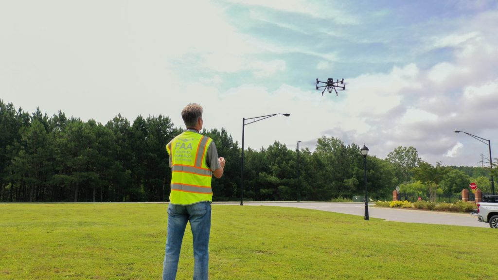
Irish businesses should treat drones as an aviation operation, not just a camera purchase. The team should understand operator registration, pilot competency, insurance, site risk assessment, airspace checks, privacy, data handling and maintenance records.
Many low-risk flights may be simpler to plan, but work near people, roads, critical infrastructure, controlled airspace, complex industrial environments, night operations or BVLOS-style workflows may need more detailed planning and authorisation. This should be considered before quoting a job or installing a remote dock system.
| Area | What the business should prepare |
|---|---|
| Operator registration | Confirm the operator registration route and keep internal records current. |
| Pilot competency | Ensure pilots are trained for the category of operation and the specific mission type. |
| Risk assessment | Review airspace, people, structures, roads, powerlines, weather, emergency landing areas and site communications. |
| Data governance | Set rules for image storage, client sharing, privacy, retention periods, cloud access and sensitive industrial data. |
| Maintenance | Track batteries, propellers, firmware, payload condition, flight logs, repairs and calibration checks. |
FAQ: Enterprise drone investment in Ireland
Which enterprise drone should an Irish business choose first?
For mapping and construction, start by comparing DJI Matrice 4E. For thermal inspection, public safety or security, compare DJI Matrice 4T. For large infrastructure, utilities, marine, LiDAR or heavy payload work, compare DJI Matrice 400. For repeated remote missions, evaluate DJI Dock 3 with Matrice 4D or Matrice 4TD.
Are enterprise drones only for large companies?
No. Smaller contractors, surveyors, roofers, engineering consultants, security firms and facilities teams can justify drone investment when it reduces repeat site visits, improves inspection evidence or creates a paid deliverable.
What is the strongest ROI use case?
The strongest ROI usually comes from work that is repetitive, risky, remote, time-sensitive or expensive to access manually. Examples include roofs, bridges, powerlines, solar farms, wind turbines, construction sites, harbours, towers and industrial facilities.
Is DJI Dock 3 suitable for every business?
No. Dock systems make sense when the business has repeatable routes, remote monitoring needs, suitable site conditions, connectivity, maintenance planning and a clear compliance pathway. For occasional inspections, a pilot-deployed drone may be more practical.
Should a business buy a drone or hire a drone service provider?
For one-off or occasional projects, hiring a specialist operator may be cheaper and safer. For repeat inspections, weekly site progress, regular surveys or internal emergency response, owning equipment and building an internal drone programme may provide better long-term value.
Need help choosing the right enterprise drone?
Irish Drone can help businesses compare Matrice 4E, Matrice 4T, Matrice 400, DJI Dock 3, Zenmuse H30T, Zenmuse L3 and related workflows for surveying, inspection, construction, utilities, public safety and remote operations in Ireland.
Leave a comment