

DJI Enterprise Drones in Ireland
Choose a DJI enterprise aircraft around the work you need to do. Compare visual, thermal and multispectral capture, explore industry packages, and build a setup that connects equipment with a practical workflow.
Start with the view your task needs
Choose Matrice 4E for visual mapping or 4T for thermal observation. Explore 4D and 4TD through their supported standalone and Dock 3 configurations.


Build the platform around the payload
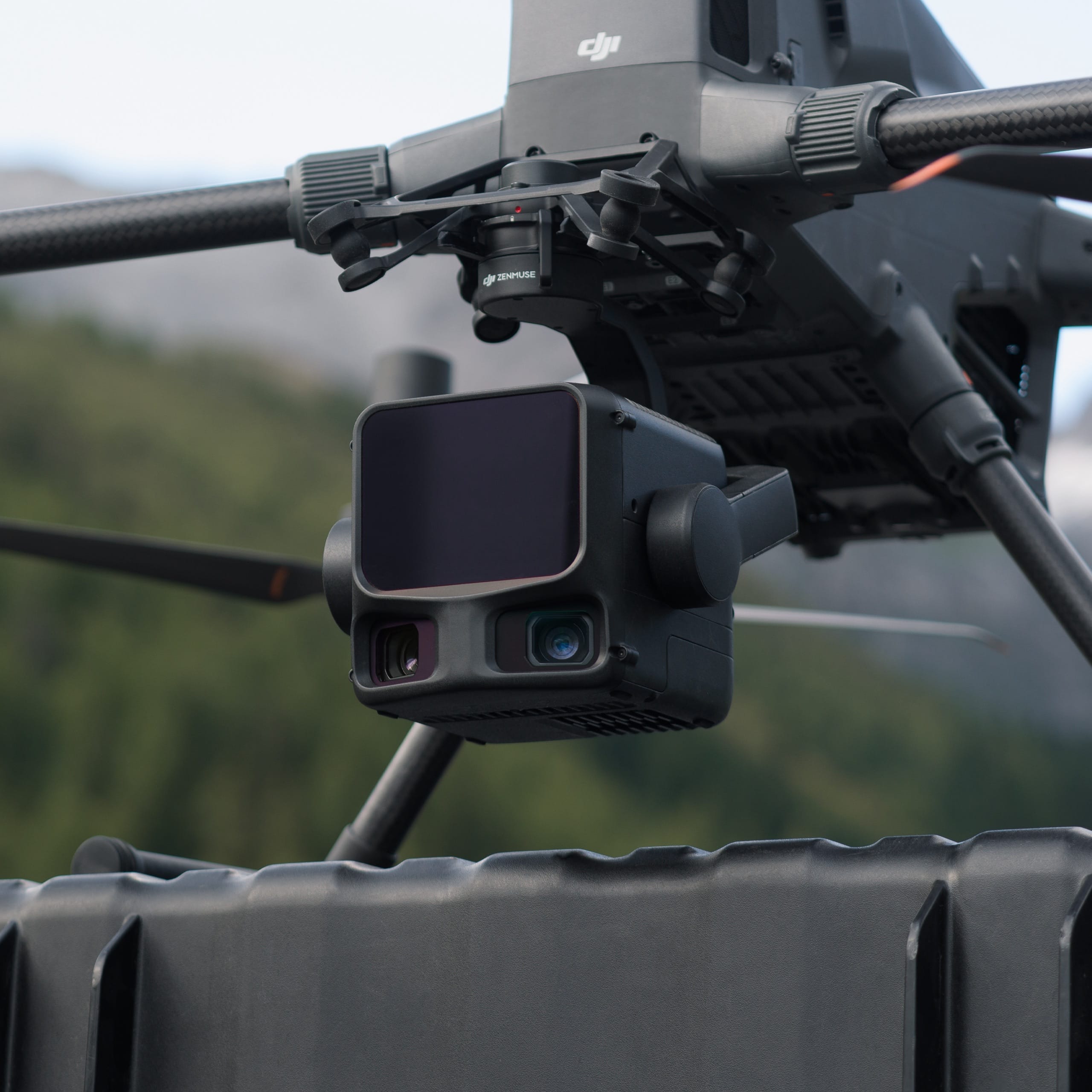
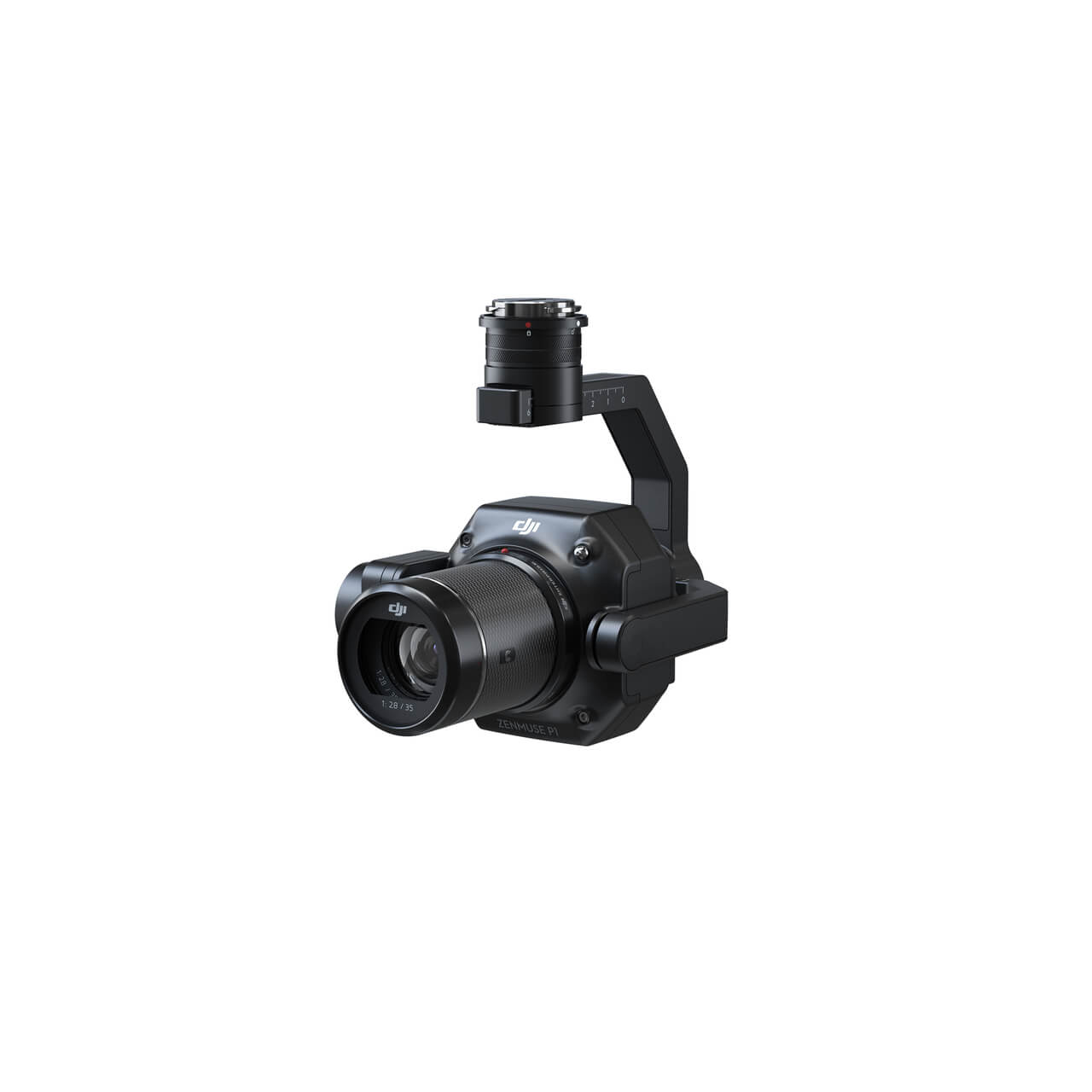
Choose Matrice 400 around the capture task, then match suitable imaging, positioning and processing options to the deliverable you need from the job.


Compare compact capture options
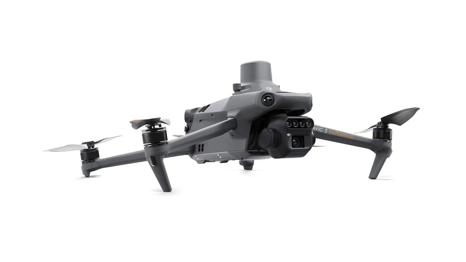
Mavic 3E supports visual mapping, 3T thermal observation and 3M multispectral capture. Match your choice to the information you want to collect.


Plan the aircraft and dock together
Dock 3 pairs with Matrice 4D/4TD; Dock 2 uses Matrice 3D/3TD. Review the aircraft, software and deployment workflow as a complete setup.


Start with the job. Connect the whole setup.
Define the task and deliverable
Describe what you need to observe or map, the site you will work around and the output you want to produce. Use that brief to guide the equipment comparison.
Match the capture setup
Compare the aircraft and imaging choices, then identify the supporting positioning, power and handling equipment. Check the selected configuration rather than assuming every compatible accessory is supplied together.
Connect capture with processing
Plan how the captured information will be processed, reviewed and handed over. Discuss the relevant software, reporting needs and operating arrangements alongside the aircraft so the proposed workflow fits the job.
A useful starting point for your setup
Compare selected enterprise packages by application and equipment. Open each product page to check its current price and the exact configuration before choosing.
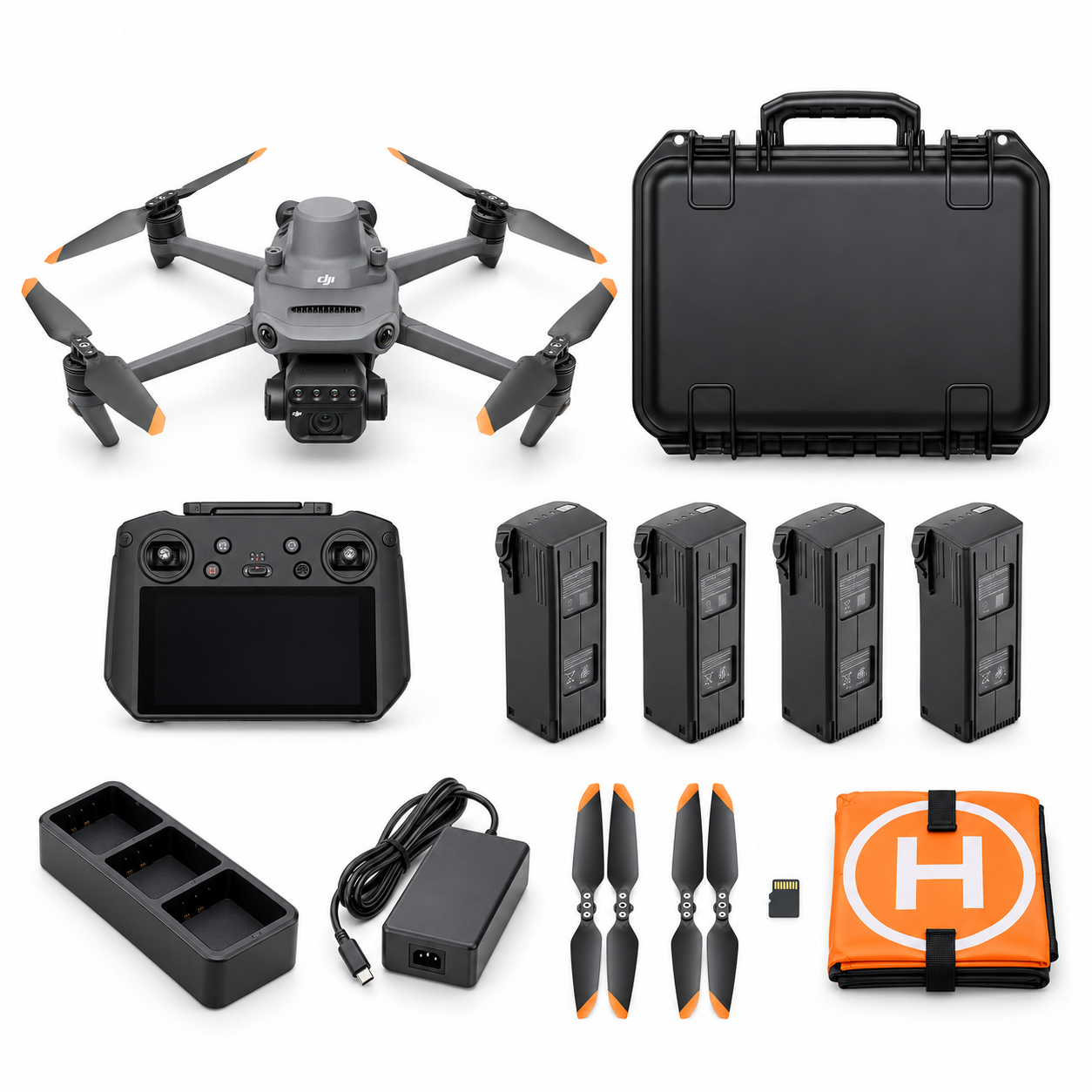
DJI Mavic 3 Multispectral Crop Monitoring Essential Package (AG-01)
See the current price and exact contents on the product page.
View current price & contents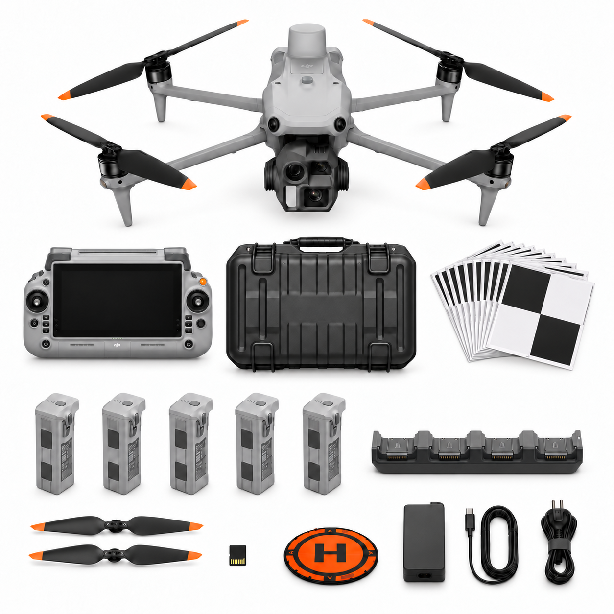
DJI Matrice 4E Surveying and Mapping Essential Package (SV-01)
See the current price and exact contents on the product page.
View current price & contents
DJI Matrice 4E Commercial Building & Roof Survey Package (BL-02)
See the current price and exact contents on the product page.
View current price & contentsDJI Matrice 4E Forestry & Tree Care Survey Package (FO-01)
See the current price and exact contents on the product page.
View current price & contents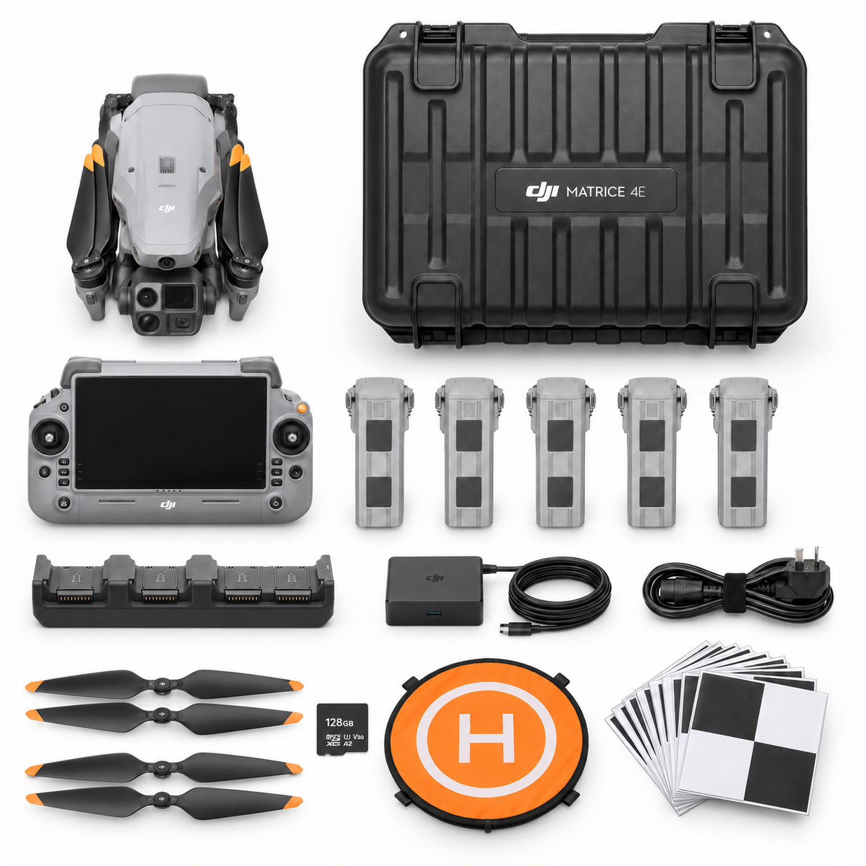
DJI Matrice 4E Stockpile Volume Mapping Package (MQ-01)
See the current price and exact contents on the product page.
View current price & contents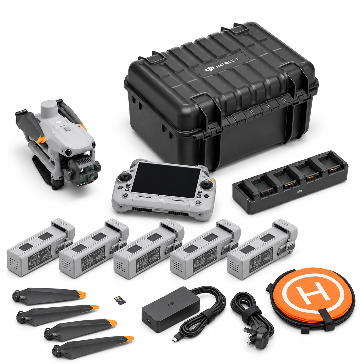
DJI Matrice 4T Residential Thermal Inspection Package (BL-01)
See the current price and exact contents on the product page.
View current price & contentsFind the workflow behind the aircraft
Start with your industry, explore the capture and reporting requirements, then compare relevant aircraft, packages and supporting equipment for the work ahead of you.
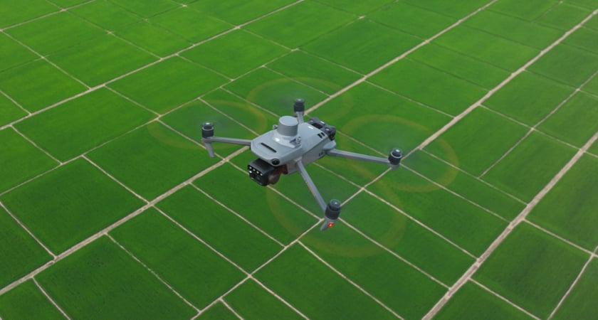
Agriculture & Farm Operations
Explore multispectral crop monitoring and farm observation, with capture and follow-up planned around your fields.
Explore the industrySolar PV & Solar Farms
Compare visual and thermal capture workflows for rooftop arrays, larger solar sites and inspection reporting.
Explore the industryView 5 packages
- PV-02DJI Matrice 4T Solar PV Inspection Professional Package (PV-02)
- PV-03DJI Matrice 400 H30T Solar Farm Inspection Package (PV-03)
- PV-04DJI Matrice 4E Solar Site & Rooftop Planning Package + DJI Power 2000 (PV-04)
- PV-05DJI Matrice 4T Solar PV Inspection Professional Package + DJI Power 2000 (PV-05)
- PV-06DJI Matrice 400 H30T Solar Farm Inspection Package + DJI Power 2000 (PV-06)

Residential & Commercial Buildings
Plan building thermal observations with equipment, capture conditions and reporting suited to the inspection brief.
Explore the industryView 5 packages
- BL-01DJI Matrice 4T Residential Thermal Inspection Package (BL-01)
- BL-02DJI Matrice 4E Commercial Building & Roof Survey Package (BL-02)
- BL-03DJI Matrice 4TD Commercial Building Thermal Mapping Package (BL-03)
- BL-04DJI Matrice 4E Commercial Building & Roof Survey Package + DJI Power 2000 (BL-04)
- BL-05DJI Matrice 4TD Commercial Building Thermal Mapping Package + DJI Power 2000 (BL-05)
Industrial & Telecom Assets
Explore imaging options for industrial assets, from visual records to thermal observations that support closer review.
Explore the industryView 6 packages
- IN-01DJI Matrice 4T Industrial Visual and Thermal Inspection Package (IN-01)
- IN-02DJI Matrice 400 H30T Large Asset Inspection Package (IN-02)
- IN-03DJI Matrice 4E Telecom Tower Visual Inspection Package (IN-03)
- IN-04DJI Matrice 4T Industrial Visual and Thermal Inspection Package + DJI Power 2000 (IN-04)
- IN-05DJI Matrice 400 H30T Large Asset Inspection Package + DJI Power 2000 (IN-05)
- IN-06DJI Matrice 4E Telecom Tower Visual Inspection Package + DJI Power 2000 (IN-06)
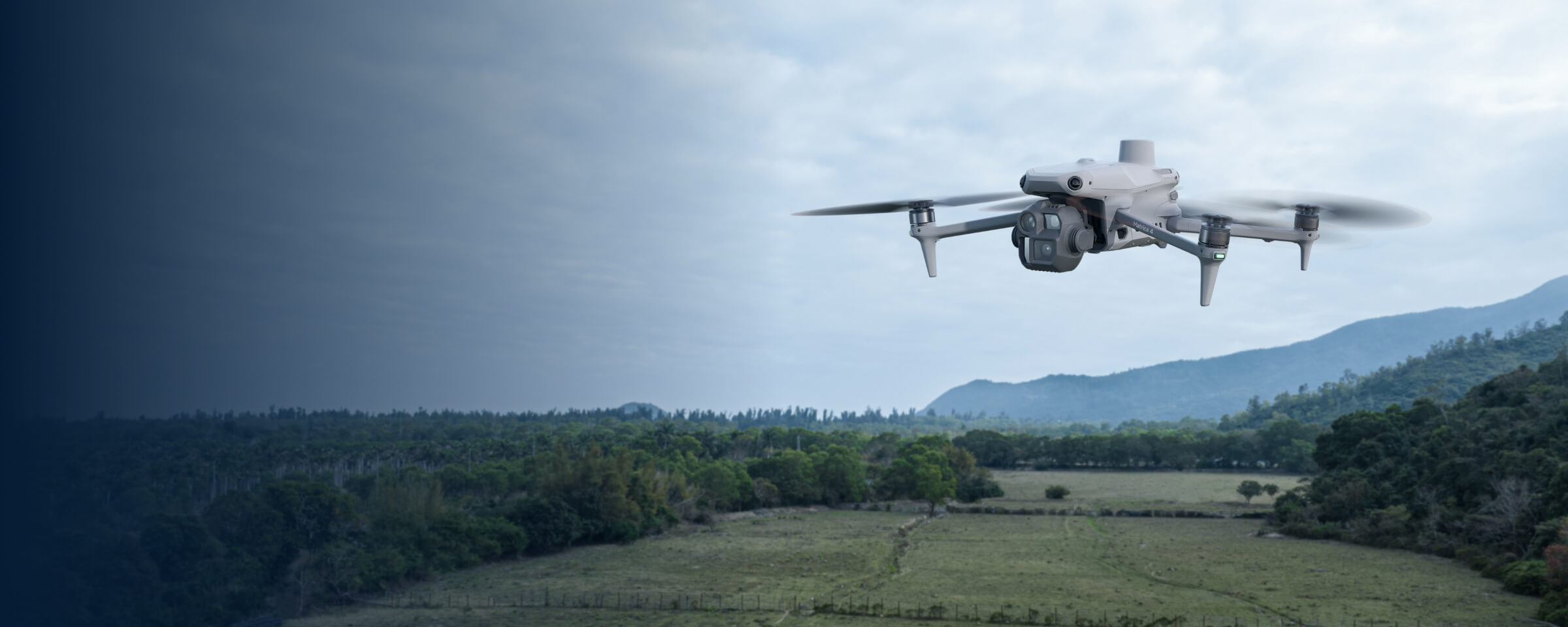
Surveying & Mapping
Compare aircraft, positioning and processing options for mapping projects, with deliverables guiding the capture setup.
Explore the industryView 6 packages
- SV-01DJI Matrice 4E Surveying and Mapping Essential Package (SV-01)
- SV-02DJI Matrice 4E Surveying and Mapping RTK Professional Package (SV-02)
- SV-03DJI Matrice 400 L3 LiDAR Survey Professional Package (SV-03)
- SV-04DJI Matrice 4E Surveying and Mapping Essential Package + DJI Power 2000 (SV-04)
- SV-05DJI Matrice 4E Surveying and Mapping RTK Professional Package + DJI Power 2000 (SV-05)
- SV-06DJI Matrice 400 L3 LiDAR Survey Professional Package + DJI Power 2000 (SV-06)

Search, Rescue & Fire Response
Explore thermal observation and search-support equipment, with practical choices for team awareness and field coordination.
Explore the industryView 6 packages
- PS-01DJI Matrice 4T Search and Response Field Package (PS-01)
- PS-02DJI Matrice 4TD Search & Response Package (PS-02)
- PS-03DJI Matrice 4TD Fireground Thermal Mapping & Coordination Package (PS-03)
- PS-04DJI Matrice 4TD Fireground Thermal Mapping & Coordination Package + DJI Power 2000 (PS-04)
- PS-05DJI Matrice 4T Search and Response Field Package + DJI Power 2000 (PS-05)
- PS-06DJI Matrice 4TD Search & Response Package + DJI Power 2000 (PS-06)
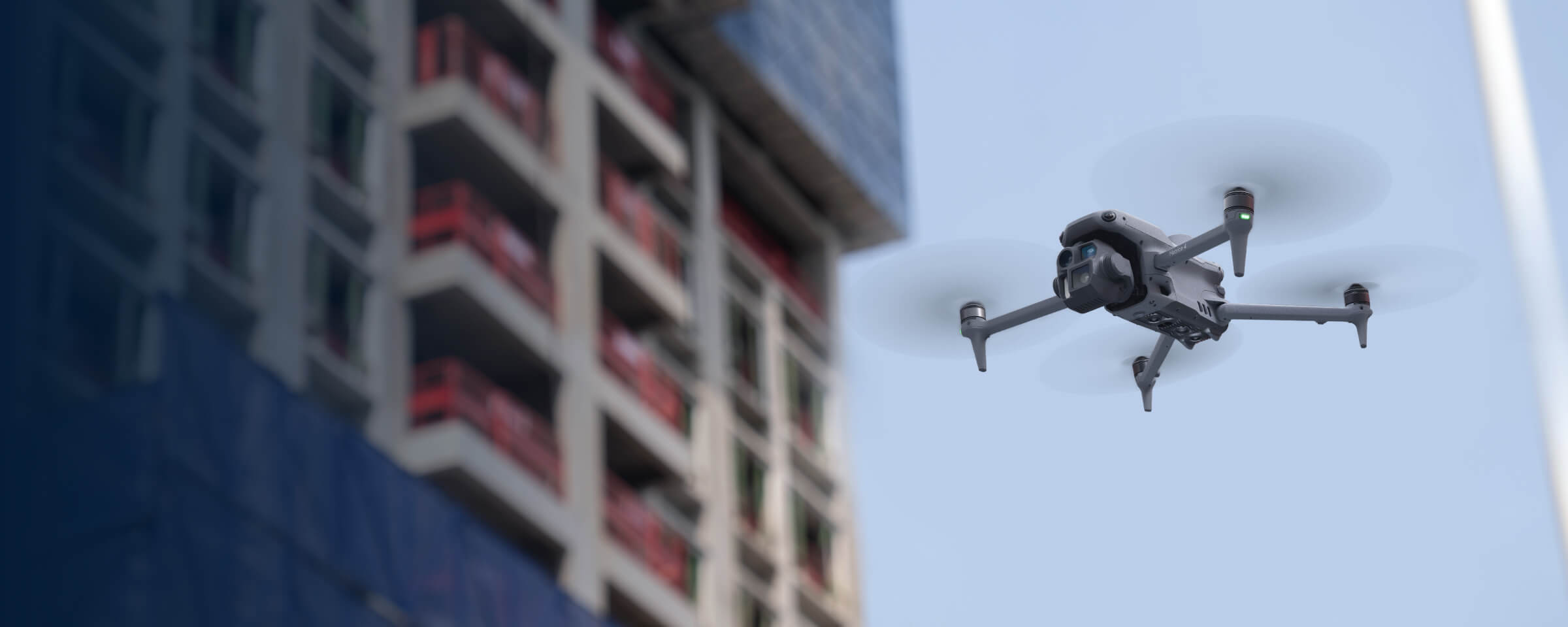
Construction & Earthworks
Plan repeat site capture, mapping and progress records, with equipment selected around access and reporting needs.
Explore the industryPower & Utilities
Compare imaging approaches for infrastructure observation, with equipment and capture workflows matched to the asset.
Explore the industryView 5 packages
- UT-01DJI Matrice 4T Utility Thermal Inspection Package (UT-01)
- UT-02DJI Matrice 400 L3 Utility Corridor LiDAR Package (UT-02)
- UT-03DJI Matrice 4TD Utility Fixed-Site Dock Package (UT-03)
- UT-04DJI Matrice 4T Utility Thermal Inspection Package + DJI Power 2000 (UT-04)
- UT-05DJI Matrice 400 L3 Utility Corridor LiDAR Package + DJI Power 2000 (UT-05)
Quarries, Mining & Stockpiles
Explore mapping, stockpile capture and site records, then plan the positioning and processing workflow together.
Explore the industryView 6 packages
- MQ-01DJI Matrice 4E Stockpile Volume Mapping Package (MQ-01)
- MQ-02DJI Matrice 400 P1 Quarry Photogrammetry Professional Package (MQ-02)
- MQ-03DJI Matrice 400 L3 Quarry Terrain LiDAR Package (MQ-03)
- MQ-04DJI Matrice 4E Stockpile Volume Mapping Package + DJI Power 2000 (MQ-04)
- MQ-05DJI Matrice 400 P1 Quarry Photogrammetry Professional Package + DJI Power 2000 (MQ-05)
- MQ-06DJI Matrice 400 L3 Quarry Terrain LiDAR Package + DJI Power 2000 (MQ-06)
Wind Farms & Turbines
Compare visual and thermal observation options for wind turbines, with capture planned around the inspection task.
Explore the industryView 4 packages
- WE-01DJI Matrice 4T Wind Turbine Visual & Thermal Inspection Package (WE-01)
- WE-02DJI Matrice 4T Wind Turbine Visual & Thermal Inspection Package + DJI Power 2000 (WE-02)
- WE-03DJI Matrice 400 H30T Wind Farm Team Inspection Package (WE-03)
- WE-04DJI Matrice 400 H30T Wind Farm Team Inspection Package + DJI Power 2000 (WE-04)
Forestry & Tree Care
Explore tree and canopy capture, woodland mapping and observation workflows for forestry and tree-care projects.
Explore the industry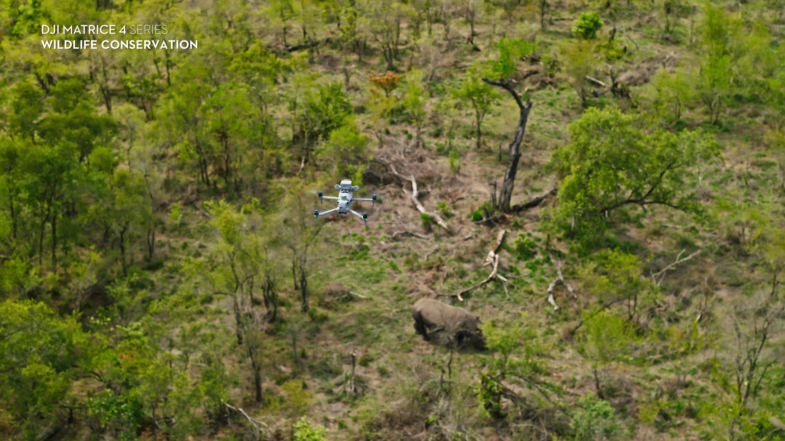
Wildlife & Conservation
Plan responsible wildlife observation with visual or thermal equipment, selecting the approach around the setting.
Explore the industryEnvironmental & Habitat Monitoring
Explore habitat, restoration and environmental capture workflows, with repeat observations shaped around the project's information needs.
Explore the industry
Coastal & Marine Operations
Compare coastal mapping and marine-side observation setups, with equipment and planning suited to the working environment.
Explore the industryBring the task into the conversation
Tell Irish Drone what you need to observe, capture or map. Discuss aircraft, imaging, power and processing choices around the planned site and deliverable.
Enterprise drone questions
How do I choose an enterprise drone?
Start with the information you need: visual mapping, thermal observations or multispectral capture. Then consider site access, the intended deliverable and processing workflow. Use those requirements to compare aircraft and select supporting equipment, rather than choosing by model name alone.
Where can I see package prices?
Open the relevant package product page to see its current price and exact contents. Compare the aircraft, batteries, imaging equipment and any listed software together, so you are assessing the configuration you would actually select for the job.
Are payloads and software included?
Only items expressly listed in the selected configuration are included. A compatible payload or supported workflow does not mean every accessory or software licence is supplied. Check the product details and ask about any equipment needed to complete your setup.
Can I compare monitoring and heavy lifting drones here?
This overview focuses on enterprise observation, mapping and imaging workflows. Agras agricultural application aircraft and FlyCart heavy lifting aircraft have separate ranges. For farm monitoring here, explore crop observation and multispectral capture rather than spraying or spreading systems.
Can Irish Drone help me select the setup?
Contact the team with the task, site and information you want to capture. Describe the intended output and any existing equipment, then discuss the aircraft, imaging, power and processing choices needed to bring the proposed workflow together.
Talk through the task with Irish Drone
Tell us about the site, the information you need and the output you want to produce. We can discuss aircraft, imaging, power and processing options for your proposed workflow.