
COASTAL & MARINE OPERATIONS · EQUIPMENT PACKAGES
Choose the system for the coastal task: planned land-based records or a trained team's coordinated observation workflow.
Compare 2 Irish Drone configurations below. Open a package to check its full included-items list and current price.

Compare coastal & marine operations packages
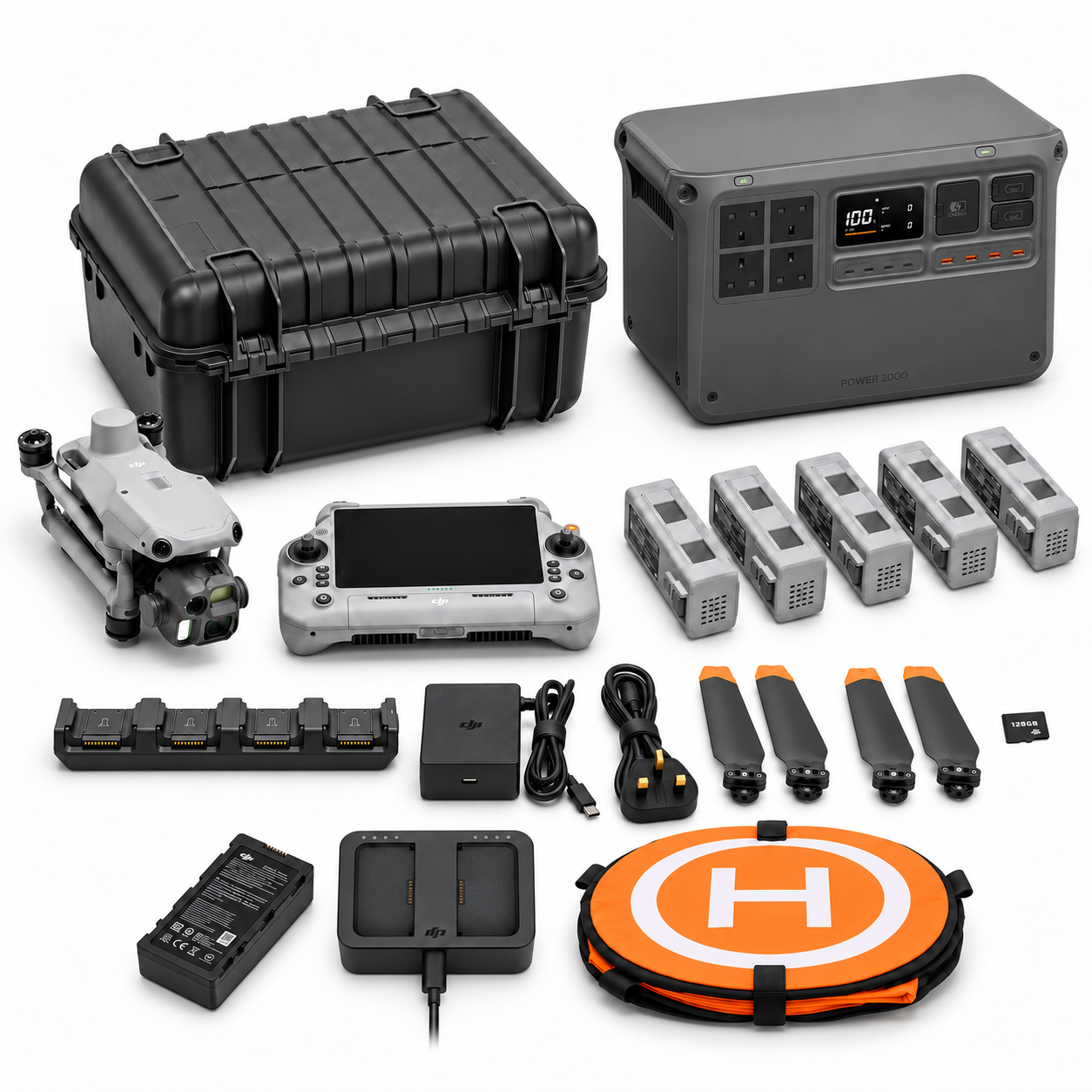
MI-01
DJI Matrice 4E Coastal Asset & Shoreline Survey Package + DJI Power 2000 (MI-01)
- Platform: Matrice 4E
- Flight batteries: 5 in total
- DJI Power 2000 included
View contents and current price →
Package illustration. The written included-items list defines the supplied configuration.
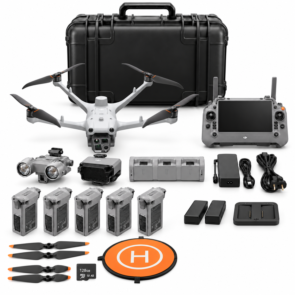
MI-02
DJI Matrice 4TD Coastal Search & Coordination Package (MI-02)
- Platform: Matrice 4TD
- Flight batteries: 5 in total
View contents and current price →
Package illustration. The written included-items list defines the supplied configuration.
Choose a configuration around the job
Use these focused guides to define the evidence you need before choosing the equipment.
Coastal Asset Drone Records: Turn Seawall and Waterfront Images into a Useful Handover
Build traceable M4E coastal asset records with section IDs, overview and detail views, coverage gaps, original files and a clear route to engineering review.

Preparing a Coastal Drone Team: Test Observation, Coordination and Handover in an Exercise
Plan a controlled M4TD coastal team exercise around authorised requests, observation reporting, coordination, evidence and debrief. Explore the standalone MI-02 kit.
Repeat Shoreline Drone Surveys: Agree the Feature, Tide Context and Uncertainty
Plan repeat coastal M4E capture around a defined shoreline feature, tide context, coordinate reference, independent checks and an honest change record.
Plan the capture-to-report workflow

Check the selected package page for its stated processing software, licence edition and duration. The application guide explains the workflow and review questions to consider before ordering.
Explore the coastal & marine operations guide series
Start with the full selection guide, then use the focused articles for your application.
- Choosing a Coastal Drone Package: M4E Survey Records or an M4TD Response Team Kit? — complete selection guide
- Coastal Asset Drone Records: Turn Seawall and Waterfront Images into a Useful Handover
- Preparing a Coastal Drone Team: Test Observation, Coordination and Handover in an Exercise
- Repeat Shoreline Drone Surveys: Agree the Feature, Tide Context and Uncertainty
Discuss the equipment for your task
Tell us about the site or asset, the records you need, the equipment you already use and who will process and review the data. Include the package references you are comparing.