
SURVEYING & MAPPING · EQUIPMENT PACKAGES
A practical equipment decision for survey managers, engineering teams and organisations bringing aerial data capture in-house.
Compare 6 Irish Drone configurations below. Open a package to check its full included-items list and current price.

Compare surveying & mapping packages
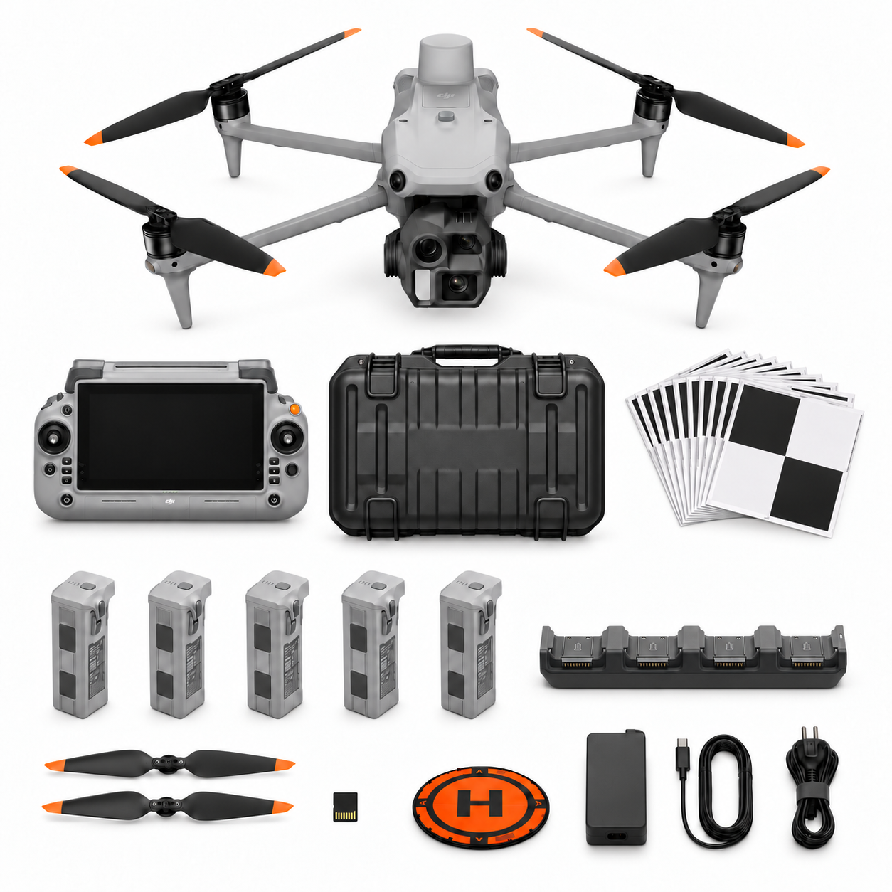
SV-01
DJI Matrice 4E Surveying and Mapping Essential Package (SV-01)
- Platform: Matrice 4E
- Flight batteries: 5 in total
View contents and current price →
Package illustration. The written included-items list defines the supplied configuration.
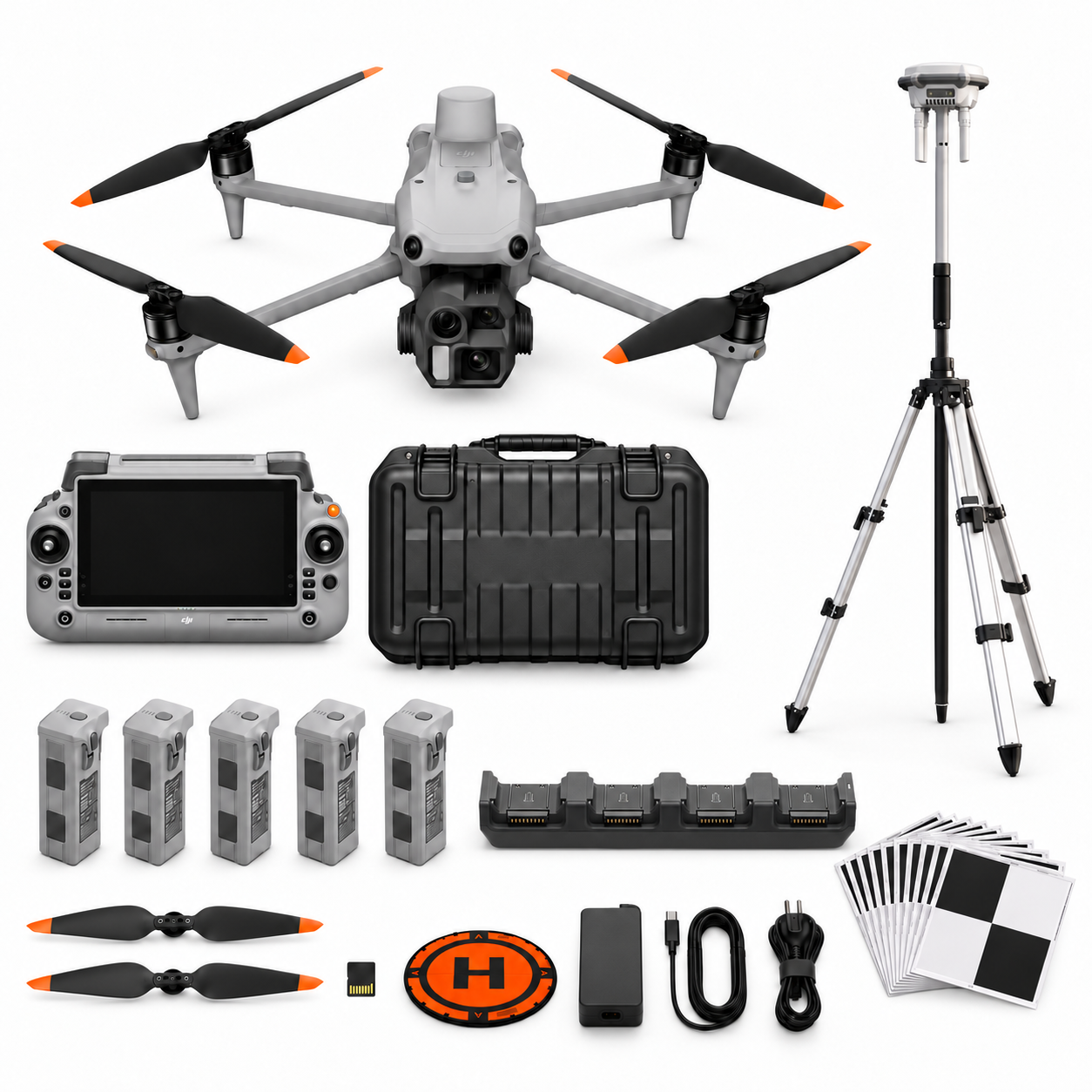
SV-02
DJI Matrice 4E Surveying and Mapping RTK Professional Package (SV-02)
- Platform: Matrice 4E
- Flight batteries: 5 in total
View contents and current price →
Package illustration. The written included-items list defines the supplied configuration.

SV-03
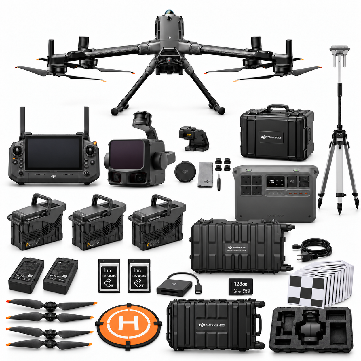
DJI Matrice 400 L3 LiDAR Survey Professional Package (SV-03)
- Platform: Matrice 400
- Flight batteries: 3 in total
View contents and current price →
Package illustration. The written included-items list defines the supplied configuration.
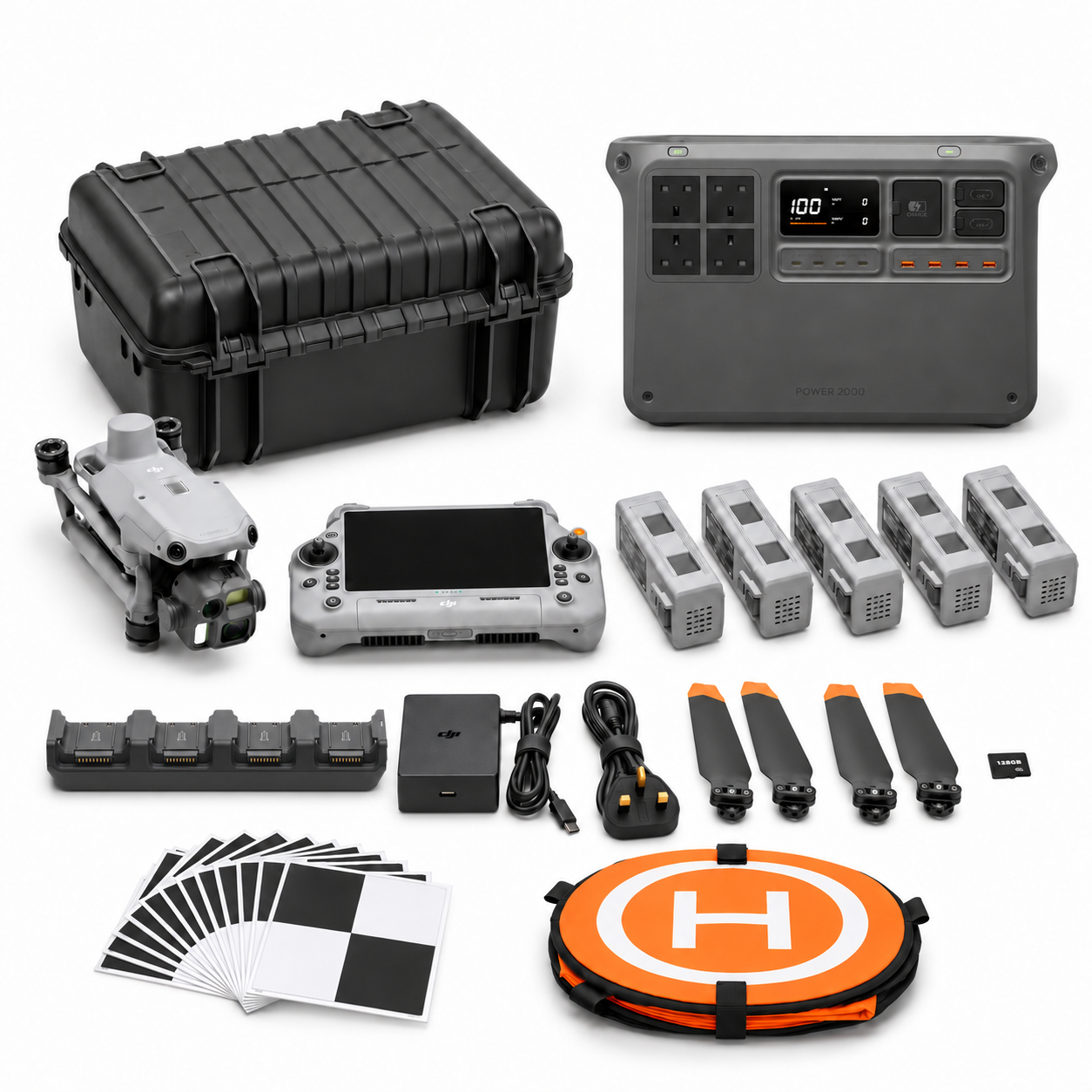
SV-04
DJI Matrice 4E Surveying and Mapping Essential Package + DJI Power 2000 (SV-04)
- Platform: Matrice 4E
- Flight batteries: 5 in total
- DJI Power 2000 included
View contents and current price →
Package illustration. The written included-items list defines the supplied configuration.
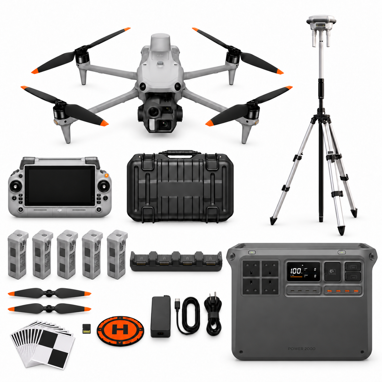
SV-05
DJI Matrice 4E Surveying and Mapping RTK Professional Package + DJI Power 2000 (SV-05)
- Platform: Matrice 4E
- Flight batteries: 5 in total
- DJI Power 2000 included
View contents and current price →
Package illustration. The written included-items list defines the supplied configuration.
SV-06
DJI Matrice 400 L3 LiDAR Survey Professional Package + DJI Power 2000 (SV-06)
- Platform: Matrice 400
- Flight batteries: 3 in total
- DJI Power 2000 included
View contents and current price →
Package illustration. The written included-items list defines the supplied configuration.
Choose a configuration around the job
Use these focused guides to define the evidence you need before choosing the equipment.
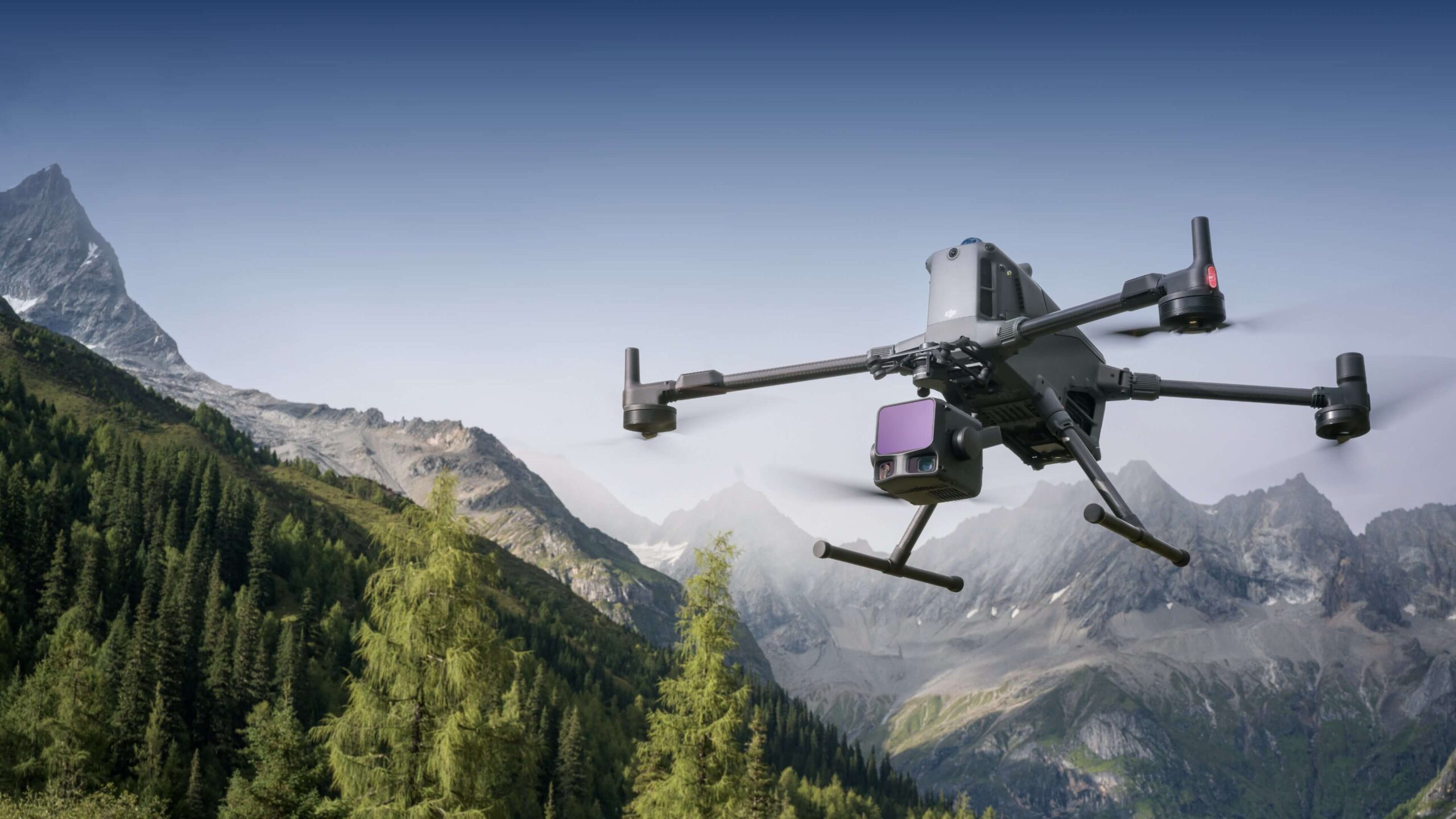
Buying an M400 L3 Terrain Workflow: What Should the Pilot Prove?
Plan an M400 L3 survey pilot around required surfaces, independent checks, classification and a usable handover. Compare SV-03 and its Power 2000 version.
SV-01 or SV-02? Planning an M4E RTK Survey with Independent Checks
Compare the same-aircraft SV-01 and SV-02 packages. Plan corrections, D-RTK 3 coordinates, checkpoints and repeat visits before accepting survey outputs.
From M4E Capture to a Survey Deliverable the Office Can Use
Plan an M4E survey handover with tested file formats, coordinate records, omissions and acceptance checks. Understand the included Terra Standard scope.
Plan the capture-to-report workflow

Check the selected package page for its stated processing software, licence edition and duration. The application guide explains the workflow and review questions to consider before ordering.
Explore the surveying & mapping guide series
Start with the full selection guide, then use the focused articles for your application.
Discuss the equipment for your task
Tell us about the site or asset, the records you need, the equipment you already use and who will process and review the data. Include the package references you are comparing.