
SURVEYING & MAPPING · SELECTION GUIDE
A practical equipment decision for survey managers, engineering teams and organisations bringing aerial data capture in-house.
Evidence reviewed 3 November 2026 · Ireland
Choose the guide for your task
The practical answer
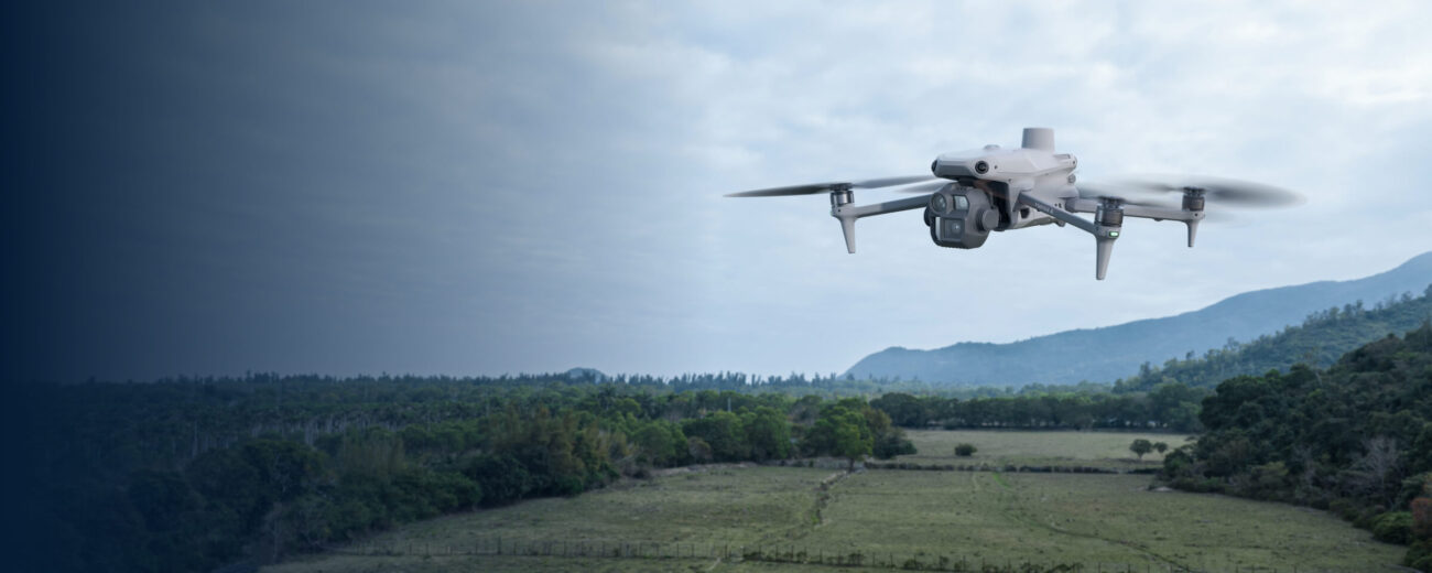
Choose a package around the surface you need to record, the information your office must receive and the evidence required to accept it. The M4E packages cover a photographic mapping workflow; SV-02 adds an owned D-RTK 3 setup to the SV-01 aircraft configuration. SV-03 supplies M400 with L3 for a LiDAR workflow. Power 2000 variants change field-power provision, not the accepted survey accuracy.
Describe the decision the survey will support
A design team preparing drainage levels needs different evidence from a manager seeking a current site overview. Before comparing aircraft, write a short description of the decision, its users and the consequences of missing or uncertain information. Include the survey extent and the features that must be represented. A request for a detailed model leaves too much room for disagreement.
RICS treats purpose, accuracy, control and deliverables as connected specification choices. [1] Your buying brief should turn that principle into a test: what will the recipient open, inspect and accept before the equipment is adopted for routine work?
Compare the three approved routes
| Route | Starting package | Question to resolve |
|---|---|---|
| Photographic mapping | SV-01 / SV-04 | Can our existing control and correction arrangements support the job? |
| Photographic mapping with owned base | SV-02 / SV-05 | Who will establish and reproduce the base reference? |
| LiDAR survey workflow | SV-03 / SV-06 | What surface classification and independent checking will the deliverable need? |
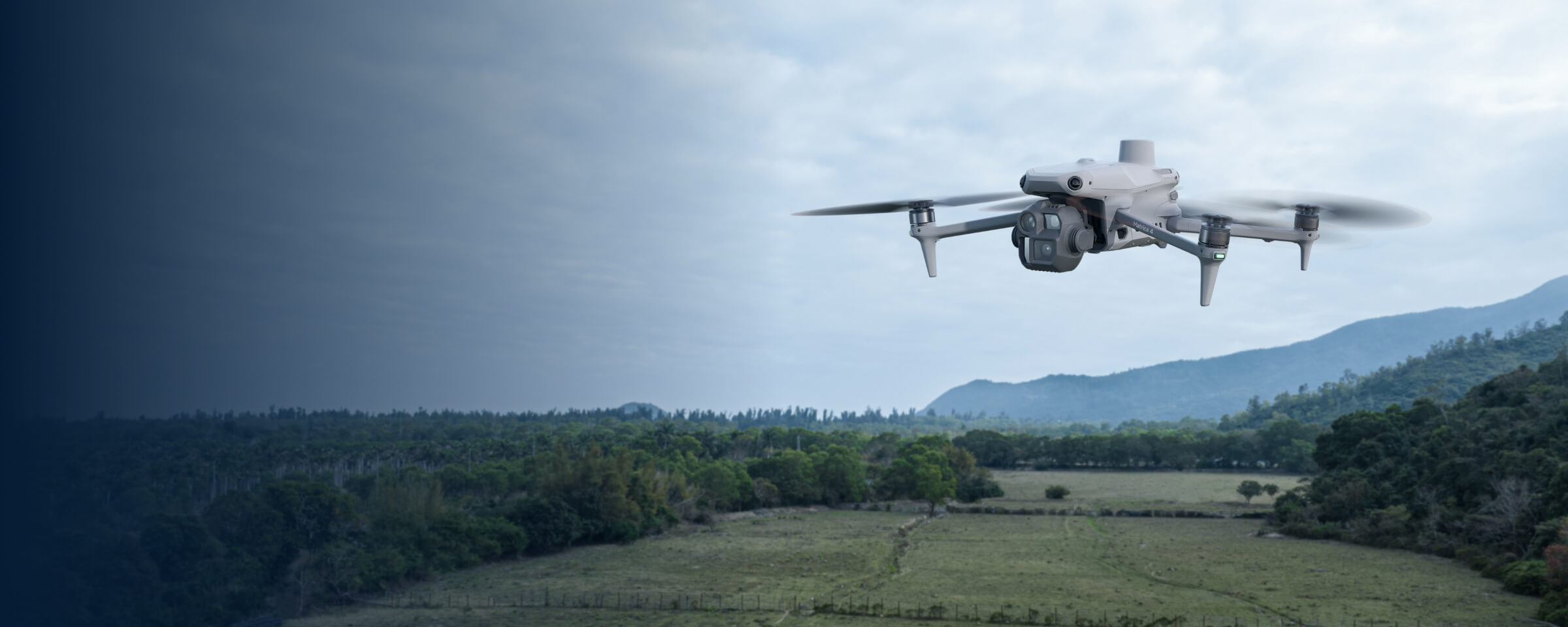
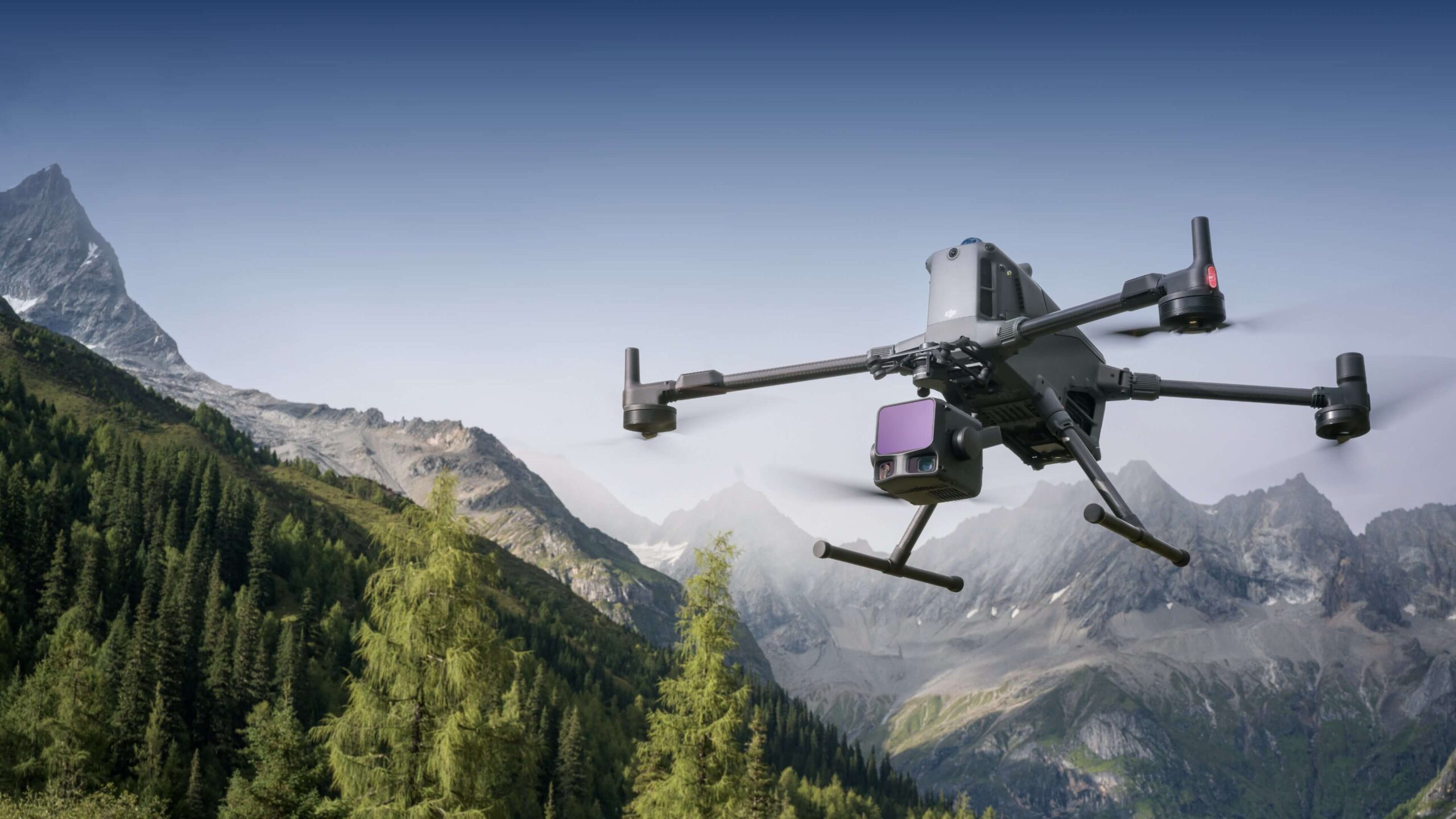
The first two routes use Matrice 4E and five total flight batteries. The L3 route uses Matrice 400 and three total flight batteries. These are whole-package allowances, including any supplied with the aircraft. They are not a promise of uninterrupted operation or a prescribed number of flights.
Test a photographic workflow against the actual site
For an open site, plan a trial that includes representative ground, edges, slopes and awkward features. Ask the office team to review the usable detail, not merely whether the model looks attractive. Record anything the imagery does not describe confidently. Decide whether those omissions can be measured separately or require a different acquisition approach.
The trial should include the intended delivery workflow: file transfer, processing, checking and import into the recipient’s software. A fast flight that leaves the office unable to identify surfaces or recover a missing feature has not demonstrated a complete survey process. Make office review part of the purchase assessment from the beginning.
A base station is an operational choice
SV-01 does not mean a different, non-RTK Matrice 4E. SV-02 adds D-RTK 3, its pole/tripod kit and a larger service allowance. Consider the latter when owning and managing a field reference fits your work. If suitable corrections and survey control already exist, assess them before duplicating equipment.
Give someone responsibility for coordinate records, setup photographs and any changes between visits. A base left to find an approximate position each morning should not silently become the reference for a repeat-survey programme. The supplied targets also need surveyed coordinates and an agreed role; their presence in a case does not establish a control network.
Specify the surface, not just the point cloud
SV-03 and SV-06 introduce M400 with L3. Their value must be tested against the required terrain information, not inferred from a colourful point-cloud display. Decide which surfaces matter, what will be classified and which areas need separate observation. Where visibility is incomplete, ask for an explicit gap or confidence record.
A dense cloud can still need interpretation and independent checking. Ask the processing lead to show the transition from retained observations to the surface used for measurement. If the intended user needs a bare-ground representation, make that requirement explicit and test it on representative vegetation and edges rather than assuming an automatic, complete ground model.
Agree how the output will be accepted
Use a written acceptance brief covering the reference system, independent evidence, omissions and the intended use. SCSI’s Irish guidance addresses grid and height-datum selection as explicit project choices. [2] Avoid leaving the vertical reference hidden in a processing preset or importing an older site drawing without checking its basis.
ASPRS publishes a modular framework for positional-accuracy assessment. [3] If a standard is required, name its edition and the applicable test with the responsible surveyor. A small equipment demonstration should not be described as standards compliance merely because several check points happen to agree.
Count the office work and field logistics
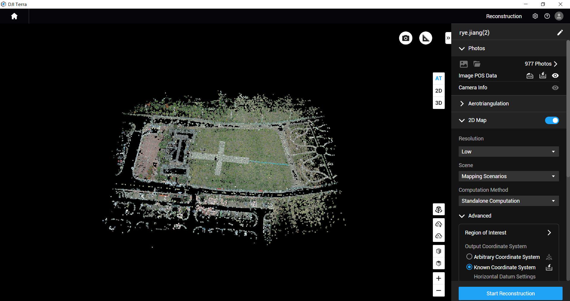
The approved M4E packages include a twelve-month manufacturer-supplied Terra Standard entitlement for M4E / M4D data. It is not a general-purpose licence for every aircraft. The L3 packages list Terra Flagship separately. Confirm the actual processing version, computer, storage and export route before setting a delivery timetable.
SV-04, SV-05 and SV-06 add Power 2000 to their corresponding routes. Plan charging around compatible original equipment, reserves and the place where charging will occur. Do not treat a portable power unit as an improvement to the sensor, positioning or measurement method. Expansion batteries and additional charging accessories should not be assumed from the package name.
Use a small project to expose the handover risks
As a hypothetical procurement brief, an engineering team might select a representative part of a proposed site and ask two people to complete the entire capture-to-delivery process. One operates the field workflow; another imports the checked output into the normal office project. They record uncertainties, missing information and any step dependent on undocumented expertise.
Evaluate the result against the agreed task, then decide what training, specialist surveying input or processing support is still needed. Equipment supply and dataset-quality review do not provide statutory surveying services or signed certification. Keep that distinction clear when introducing the system to colleagues who will rely on its outputs.
Questions before ordering
Is L3 automatically the better choice?
No. Compare the evidence needed and the complete workload, including classification and review. A more elaborate capture route can create unnecessary work when the simpler route answers the brief.
Does RTK guarantee the final model?
No. The complete output needs its own agreed validation.
What should I send with an enquiry?
Send a site outline, required features, intended recipients, existing control and a sample delivery requirement. Compare SV-01, SV-02 and SV-03, or discuss the survey brief with Irish Drone.
See the software workflow
The software image is a manufacturer workflow reference. Check the written licence edition and the supported aircraft, file type and project method before choosing a processing route.
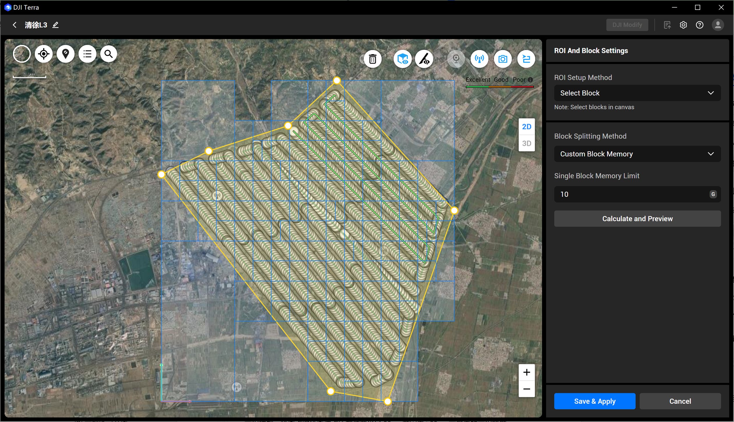
Compare the confirmed package configurations
| Package | Aircraft route | Flight batteries · total | Included processing licence | Field power |
|---|---|---|---|---|
| SV-01 | Matrice 4E | 5 | DJI Terra Standard — 12-month licence; Matrice 4E / Matrice 4D data only | Not included |
| SV-02 | Matrice 4E | 5 | DJI Terra Standard — 12-month licence; Matrice 4E / Matrice 4D data only | Not included |
| SV-03 | Matrice 400 + L3 | 3 | DJI Terra Flagship — 12-month licence | Not included |
| SV-04 | Matrice 4E | 5 | DJI Terra Standard — 12-month licence; Matrice 4E / Matrice 4D data only | DJI Power 2000 |
| SV-05 | Matrice 4E | 5 | DJI Terra Standard — 12-month licence; Matrice 4E / Matrice 4D data only | DJI Power 2000 |
| SV-06 | Matrice 400 + L3 | 3 | DJI Terra Flagship — 12-month licence | DJI Power 2000 |
Explore the equipment packages on Irish Drone
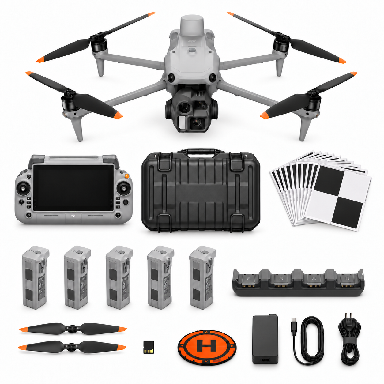
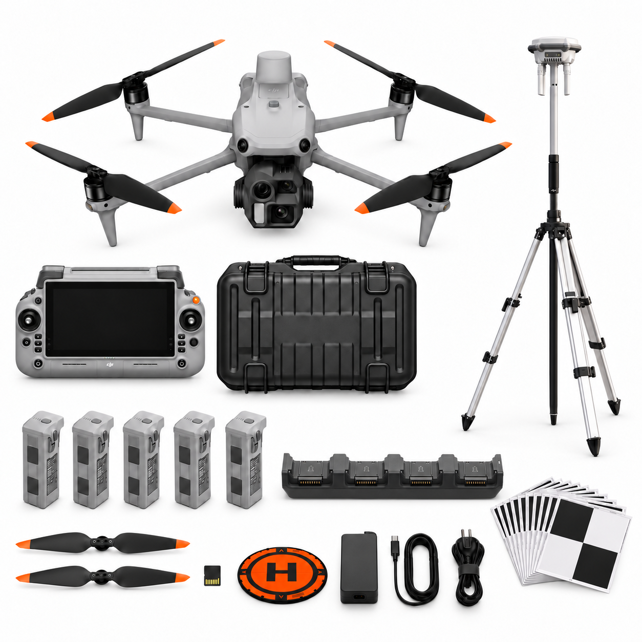

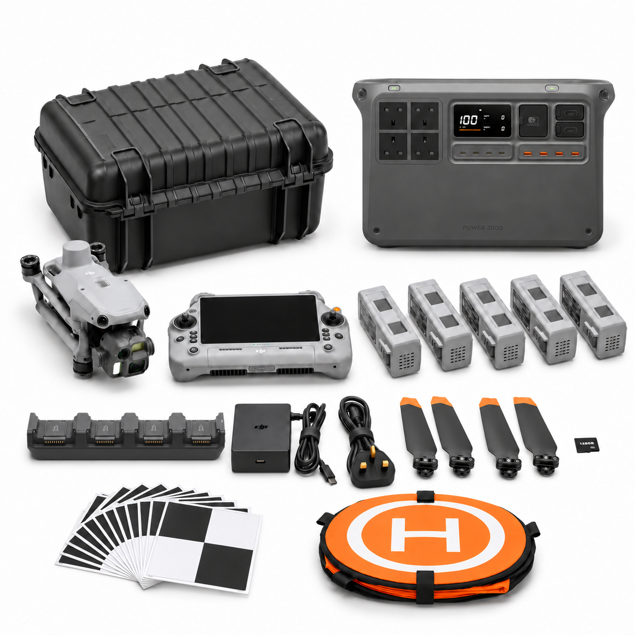
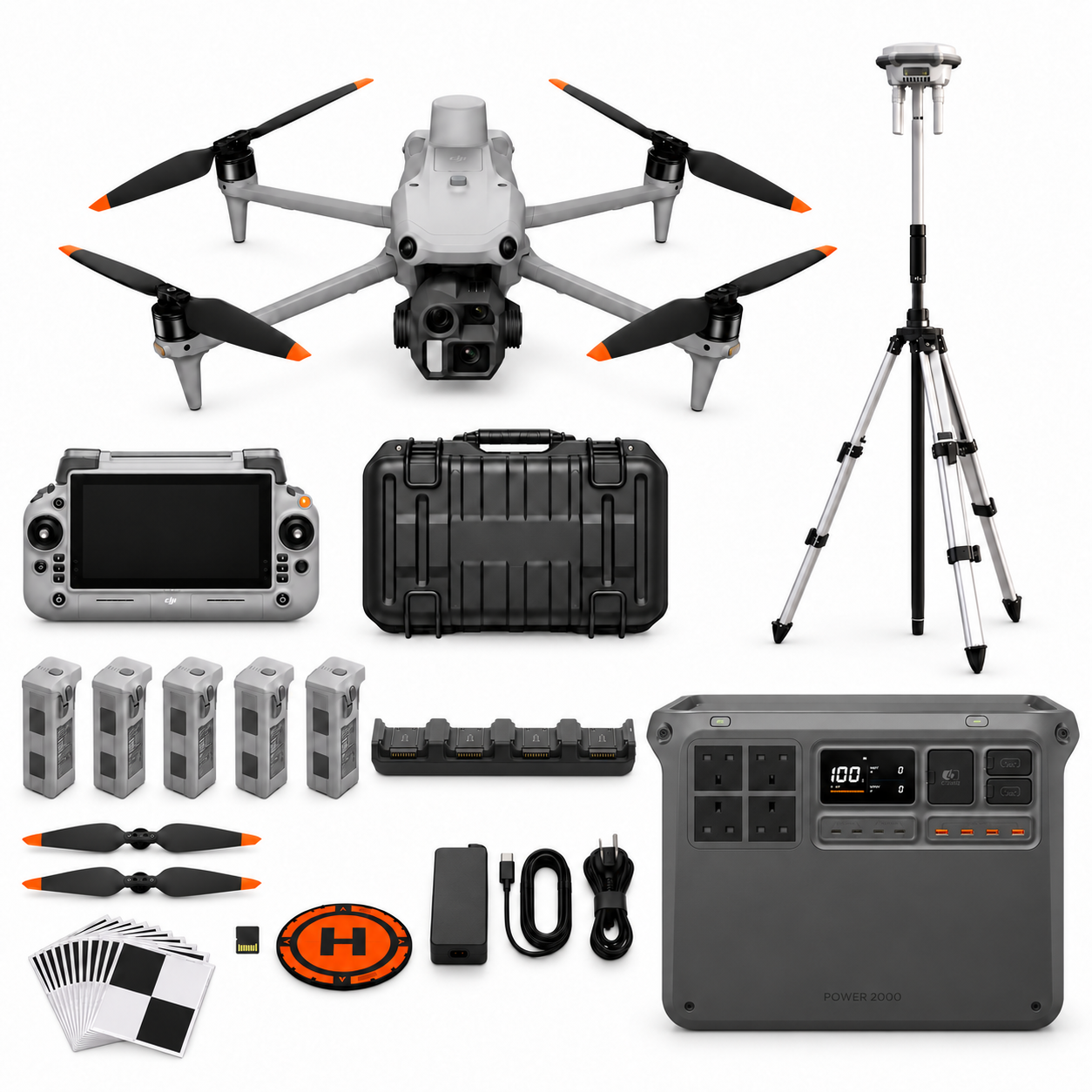
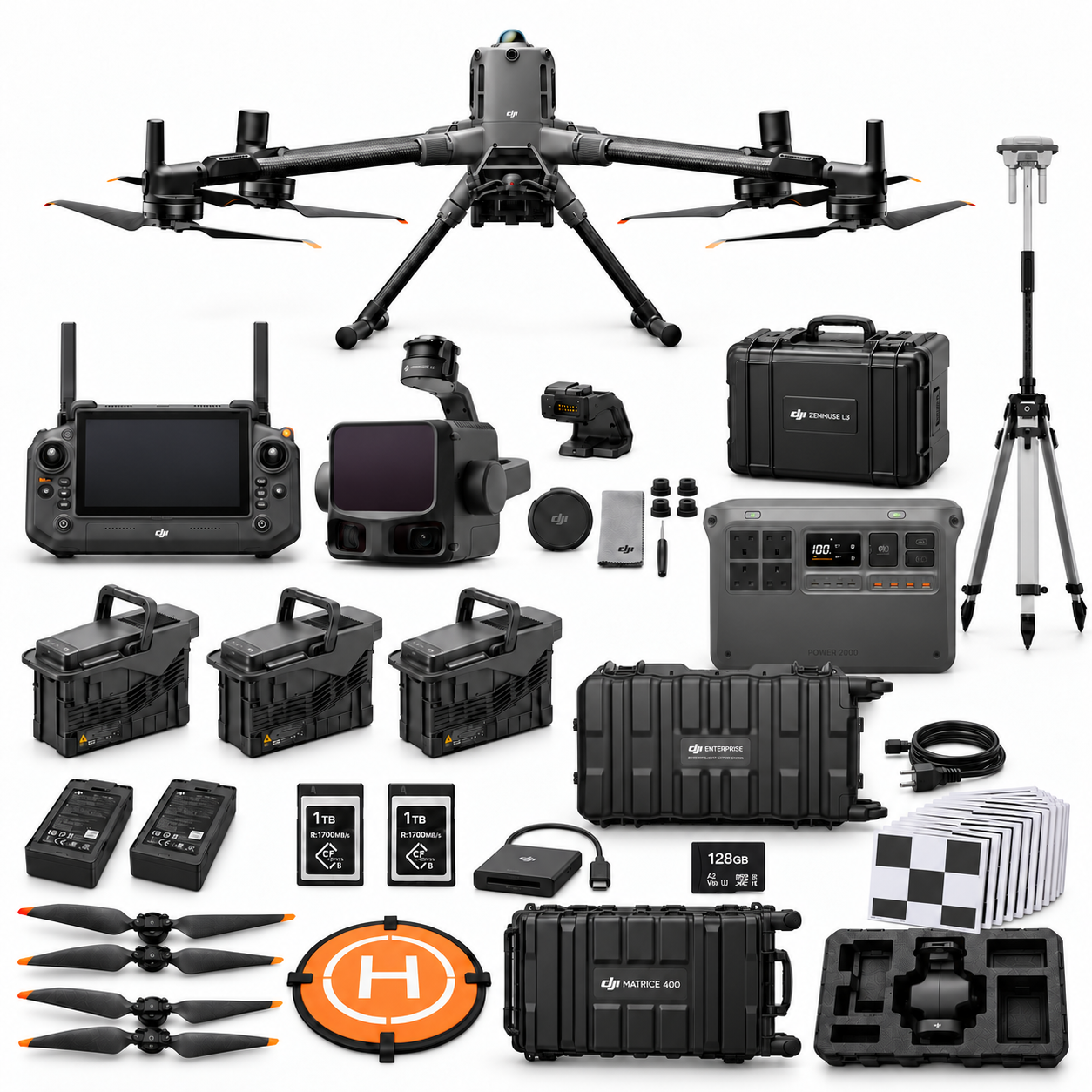
Package illustrations show the listed configurations. Battery quantities are whole-package totals.
Official manuals and setup guidance

Continue with the guide for your work
Documentation and evidence
Sources for the cited guidance
- RICS measured surveysRead source ↗
Reviewed 3 November 2026.
- SCSI measured surveys of landRead source ↗
Reviewed 3 November 2026.
- ASPRS accuracy frameworkRead source ↗
Reviewed 3 November 2026.





Pingback: M4E Survey Data Handover: Terra, CAD and QA
Pingback: M400 L3 Terrain Survey: Pilot and Acceptance Guide
Pingback: SV-01 vs SV-02: M4E RTK and Survey Control