

SURVEYING & MAPPING · RTK & CONTROL
The buying difference is the field reference you own and the procedure your team can maintain.
Evidence reviewed 3 November 2026 · Ireland
The practical answer
SV-01 and SV-02 contain the same Matrice 4E and five total flight batteries. SV-02 adds the D-RTK 3 Multifunctional Station with pole/tripod and expanded support. Choose it when an owned base fits your correction and control plan. Keep independent checkpoints and a reproducible reference whether corrections come from a local station or another suitable arrangement.
Separate the aircraft from the correction arrangement
A package labelled RTK Professional can sound as though it contains a more precise version of the aircraft. That is not the distinction here. Both packages use M4E. The question is whether you want to own the station and take responsibility for establishing its reference, managing it during capture and reproducing that setup later.
Start with the correction and control arrangements available to the organisation. Record who provides them, where they work and how their quality is checked. Existing infrastructure may already serve the intended project. Conversely, a team visiting varied sites may value control over its own setup. Neither answer can be settled from the package label alone.

Use the correct D-RTK 3 mode
The approved item is the Multifunctional Station. DJI distinguishes broadcast corrections from rover point measurement. [1] A fixed relay product is not a substitute for this purchasing brief. Ask for a demonstration using the exact supplied aircraft, controller and current firmware, with the intended correction source visible in the configuration.
Keep the demonstration focused on your work. A successful connection in a car park does not establish the coordinates of your site or verify the output. Request a handover record naming the station, setup method and software versions. If a proposed procedure needs access to another service or additional equipment, have that dependency identified before accepting the package.

Write the reference in a form another person can reproduce
Record the point occupied by the station, the origin of its coordinates, the reference system and the height basis. Include the observations needed to recreate the setup, not only a screenshot of a successful connection. Keep these records with the project so a replacement operator can understand them without relying on memory.
SCSI guidance calls for confirmation of supplied control, reference grid and height datum. [2] In practice, give your survey lead a clear decision: accept the supplied reference, resolve a discrepancy or define a different project basis. Do not allow an unexplained coordinate adjustment to become part of the routine workflow.
Give control points and checkpoints different jobs
A point used to constrain processing cannot also serve as independent proof of the same result. Plan which observations influence the model and which remain outside that adjustment. The checkpoint record should be understandable to the person accepting the deliverable, including where and how the reference observation was obtained.
Choose the validation approach with the responsible surveyor. Test the parts of the site and the dimensions that matter to the decision. A few convenient points beside the launch position should not be presented as proof that all remote edges, slopes and heights behave identically. Report limitations alongside the result rather than hiding them in a successful overall figure.
Make interruptions part of the capture record
Prepare a field log that can record a loss of corrections, a moved target, a changed station position or a section requiring a revisit. Decide who can stop the task and what evidence will be reviewed before work resumes. The procedure should survive a busy day when several people are transferring batteries, cards and equipment.
After capture, compare the intended coverage with the actual retained dataset. Identify gaps before the team leaves when practical. Keep original observations and the record of any exclusions. The objective is not to make every dataset pass; it is to make acceptance or rejection traceable and to avoid processing questionable material merely because a flight has already been completed.
Test the next visit, not only the first one
For a repeat programme, run a second capture after the initial workflow has been documented. Ask another trained operator to reproduce the setup from that record. Compare the agreed stable references before interpreting differences elsewhere as physical change. This is an editorial acceptance exercise, not a claimed performance result for the equipment.
Include an awkward but representative condition in the pilot, such as a changed access location or a missing temporary target. Work out how the team will recognise that the comparison is no longer like-for-like. Record whether the remedy is a new reference, supplementary surveying or a more limited statement about what the datasets can support.
Decide what the acceptance report must explain
The recipient needs a clear account of what was checked and what remains uncertain. Ask for the reference basis, validation method, material omissions and the permitted use of the output. ASPRS separates accuracy assessment into application-specific guidance. [3] If a client requires that framework, agree the actual applicable specification rather than adding a standards logo to a general processing report.
Separate a data-quality review from professional approval. SV-02 includes a first-project mapping dataset review, but its scope is not an on-site inspection or signed certification. A review appointment is most useful when the capture brief, reference information and questions have been prepared in advance.
Choose the power version for the working day
SV-04 corresponds to SV-01 with Power 2000; SV-05 corresponds to SV-02 with Power 2000. These are field-power choices around the same core routes. Consider where compatible chargers will operate, how reserves will be protected and what happens if an access window ends before the planned capture is complete.
The included Terra Standard entitlement is for M4E / M4D data for twelve months. Confirm storage and processing arrangements alongside field equipment. An owned station solves neither a missing workstation nor an office handover that nobody has practised. Include those responsibilities when deciding whether the professional package is useful to the team.
Questions for the purchase discussion
Does SV-01 prevent us using suitable existing corrections?
No. The absence of an included base is an equipment distinction, not proof that a local-base purchase is mandatory.
Can the station replace independent checking?
No. Keep a separate acceptance method for the finished output.
What should a demonstration prove?
It should demonstrate your reference, capture record and office acceptance route using the delivered combination. Compare SV-02 and SV-05, or send Irish Drone your control and correction brief.
See the software workflow
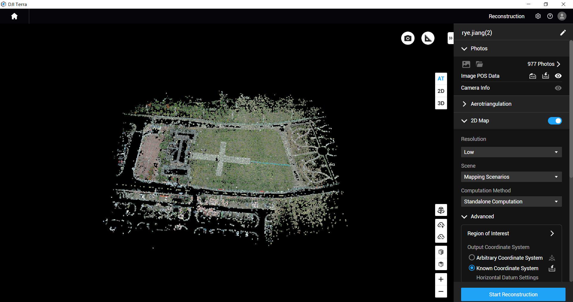
The software image is a manufacturer workflow reference. Check the written licence edition and the supported aircraft, file type and project method before choosing a processing route.
Explore the equipment packages on Irish Drone
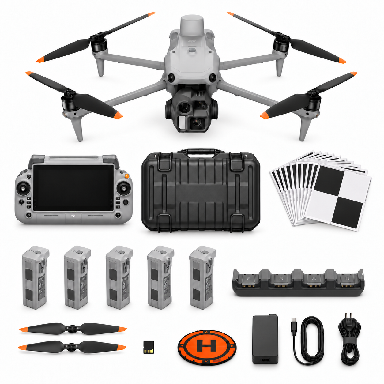
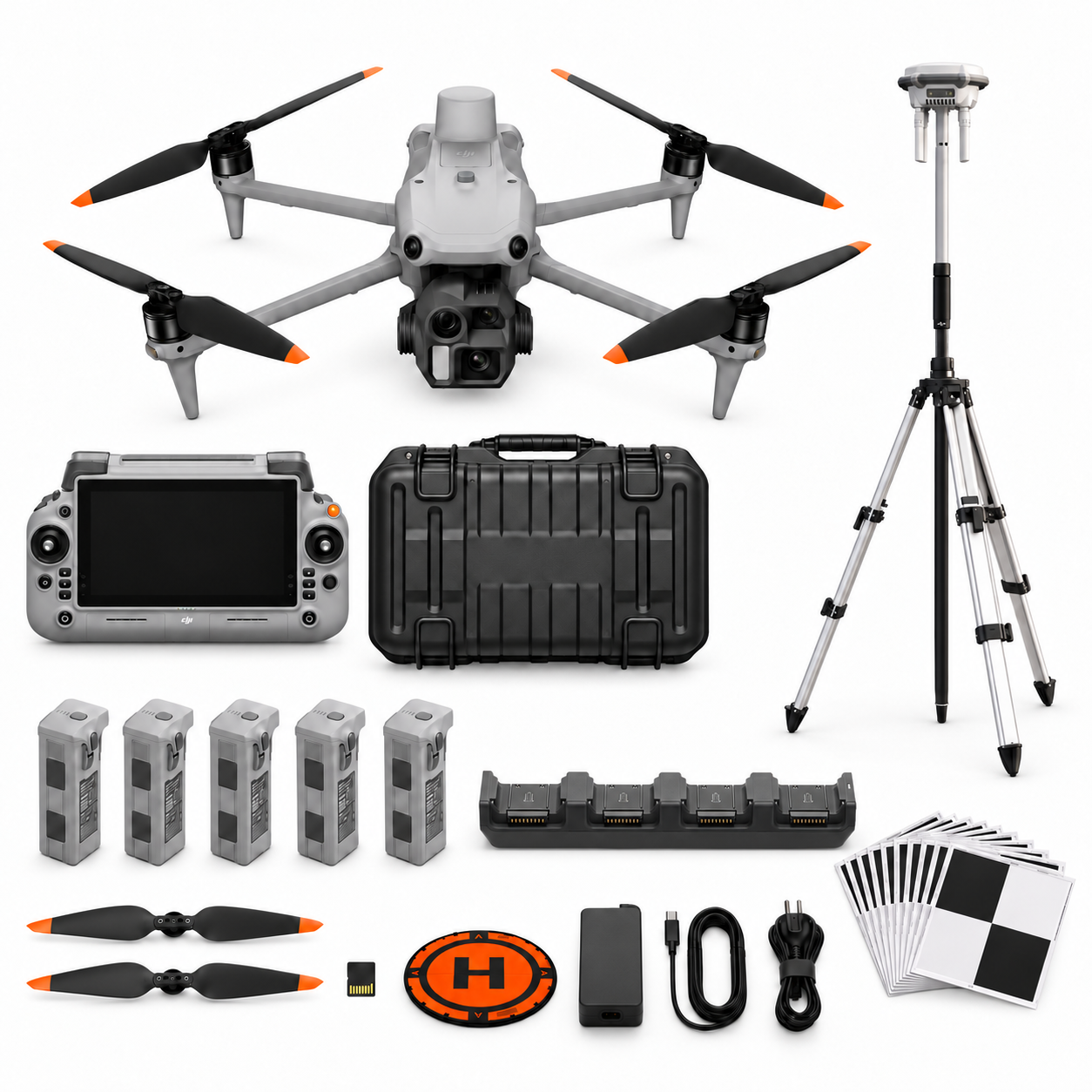
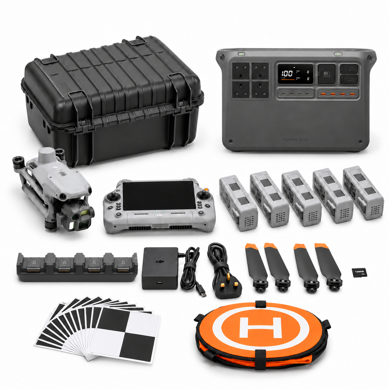
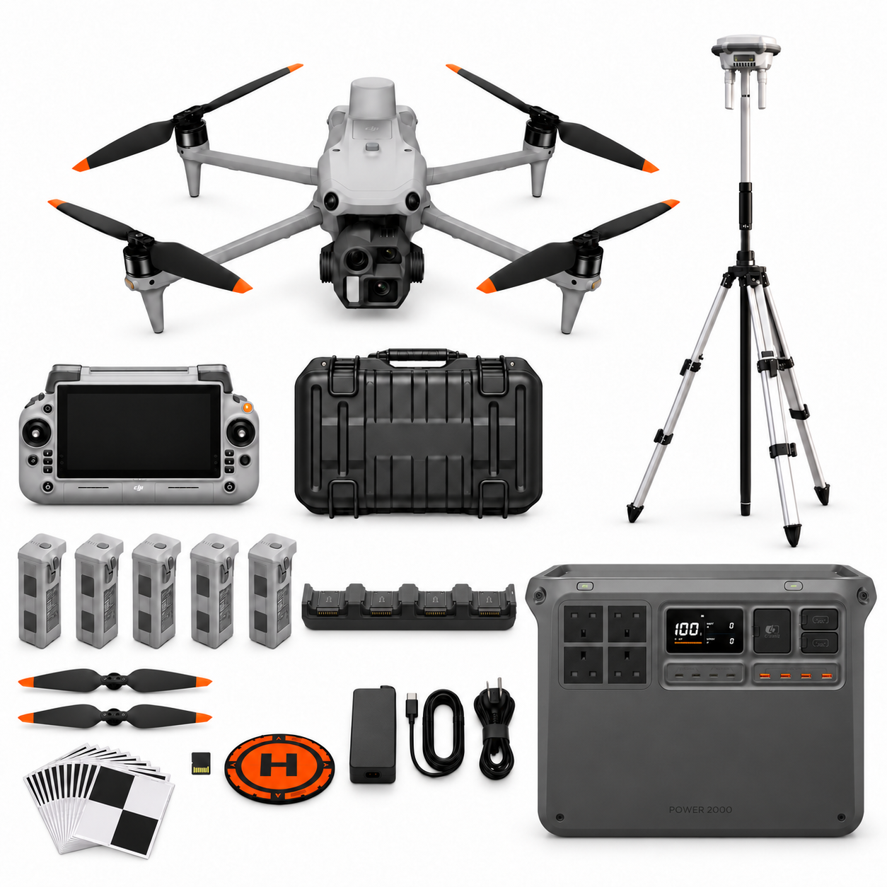
Package illustrations show the listed configurations. Battery quantities are whole-package totals.
Official manuals and setup guidance

Continue with the guide for your work
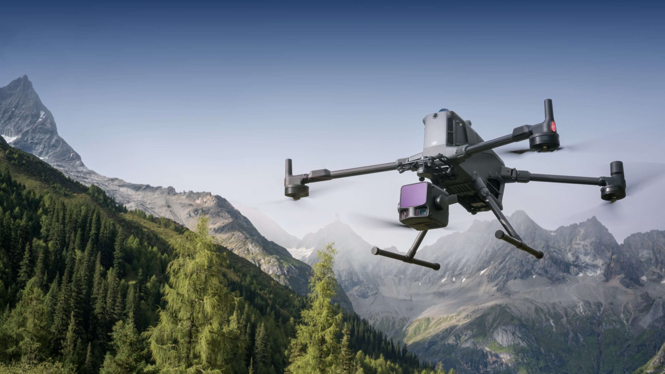
Documentation and evidence
Sources for the cited guidance
- DJI D-RTK 3 FAQRead source ↗
Reviewed 3 November 2026.
- SCSI measured surveys of landRead source ↗
Reviewed 3 November 2026.
- ASPRS accuracy frameworkRead source ↗
Reviewed 3 November 2026.




Pingback: Drone Survey Packages Ireland: M4E or M400 L3?