
SURVEYING & MAPPING · LIDAR TERRAIN
A structured proof-of-workflow brief for organisations considering LiDAR terrain data.
Evidence reviewed 3 November 2026 · Ireland
The practical answer
Ask a pilot to prove the terrain information you need, its independent validation and the office handover. SV-03 and SV-06 supply M400 with L3, a D-RTK 3 setup and three total flight batteries. Do not treat a live preview, dense point cloud or included software edition as proof that every required ground surface has been measured and accepted.
Name the surface the project actually needs
A request for LiDAR data leaves several decisions unresolved. Does the client need a record of visible surfaces, a classified ground model, selected sections or information for another survey process? Define that distinction before specifying acquisition. Otherwise the team may deliver a technically valid dataset that answers a different question from the one being purchased.
Start with the recipient’s decision and identify where missing information matters most. A surface used to explore options can have a different acceptance brief from one supporting detailed design. Keep the intended use visible throughout the pilot so neither a striking visualisation nor a large file becomes the sole measure of success.
Use the approved M400 and L3 configuration
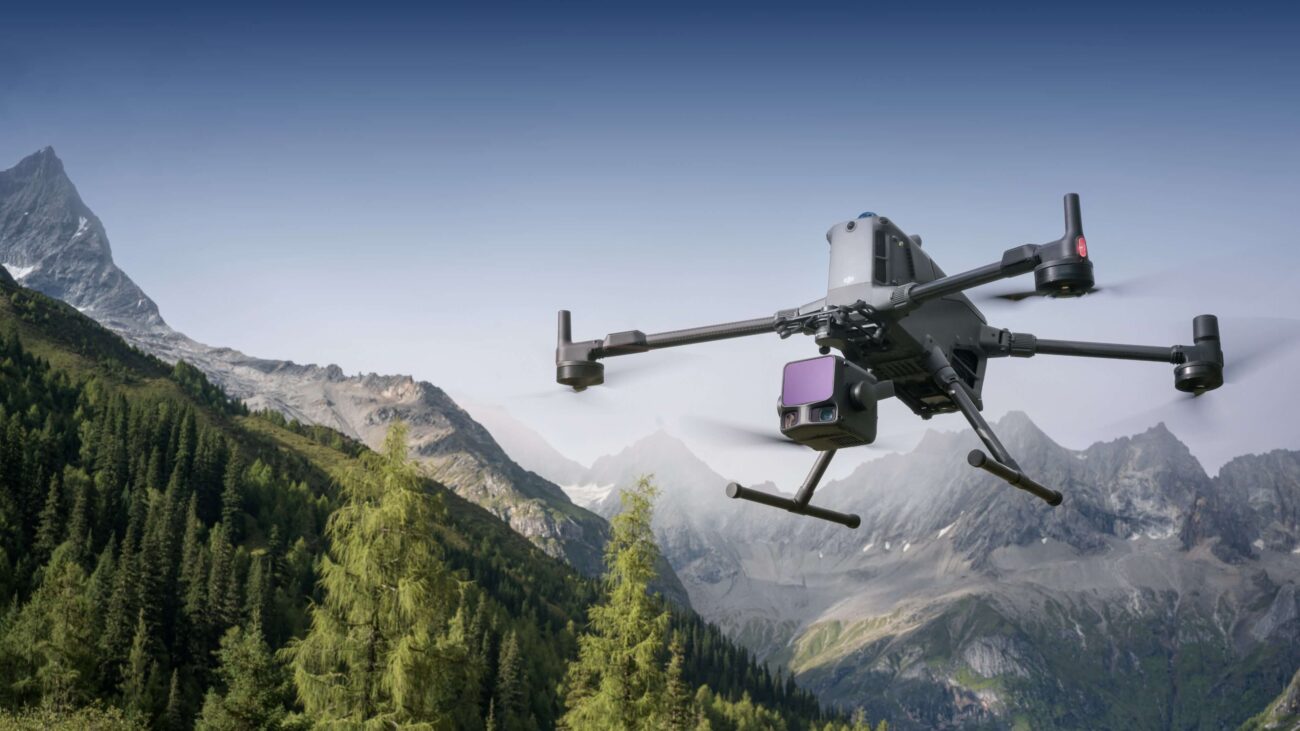
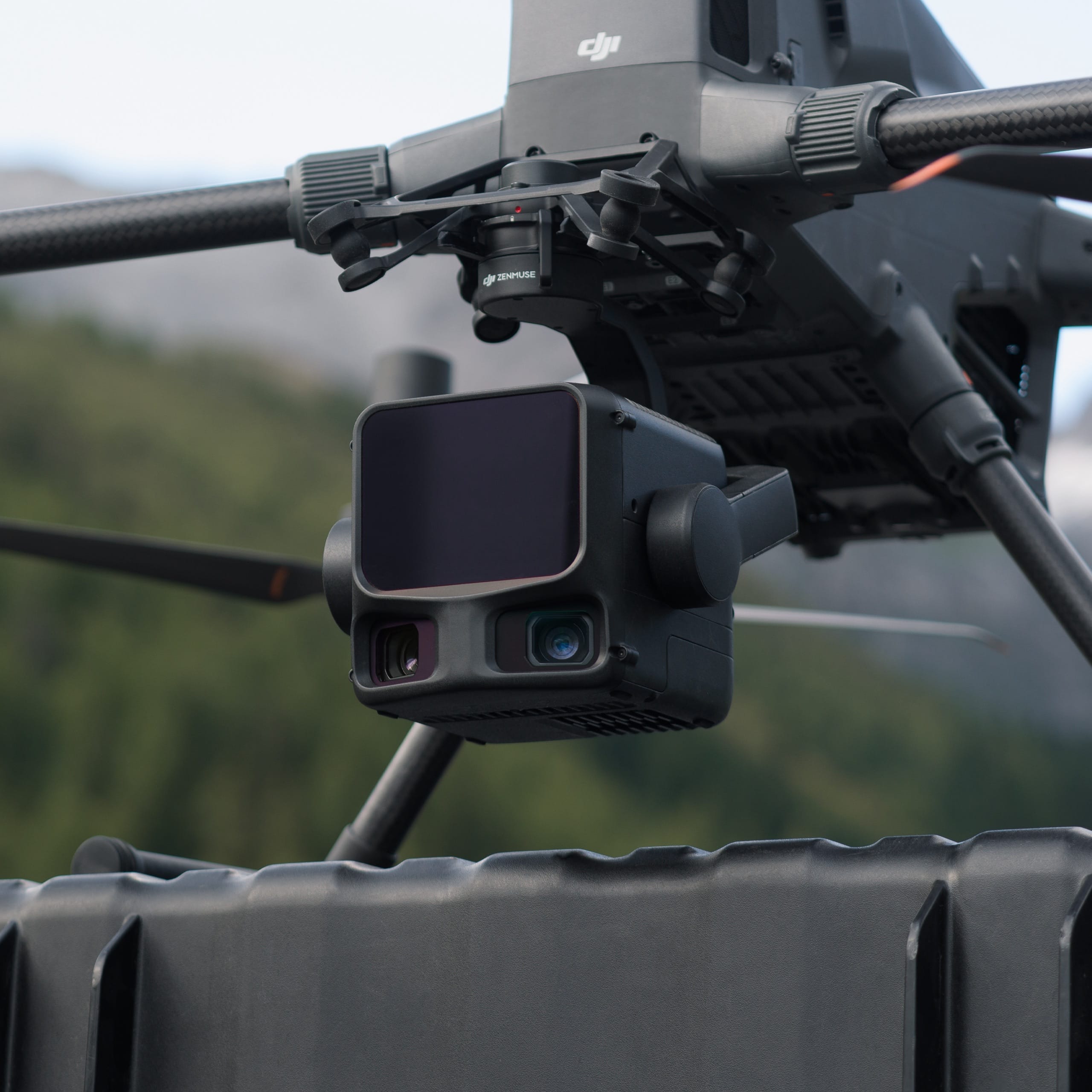
The approved route is M400 with Zenmuse L3, not an L2 substitution or a payload mounted on M4E. DJI confirms the M400 / L3 combination. [1] SV-03 includes the listed payload connector, storage accessories, D-RTK 3 station and pole/tripod; SV-06 adds Power 2000.
Check the delivered system against the written included-items list, then demonstrate the actual capture and transfer procedure. Record hardware and software versions with the pilot dataset. If an accessory, service or processing dependency is required beyond that list, identify it explicitly. Avoid allowing a demonstration system with additional equipment to create an expectation that the standard package supplies the same arrangement.
Choose a pilot area that can expose the weak points
Select a representative area with more than the easiest open ground. Include the features and transitions the recipient will rely on, while keeping the trial within a practical operating plan. Ask the processing lead which parts may require supplementary observations and how those limitations will be represented in the output.
A hypothetical terrain pilot might include an open section, a vegetated edge and a slope transition. That is a planning example, not an assertion that one mission will recover every ground point beneath vegetation. Agree how the team will assess coverage and classify uncertain areas. The pilot should reveal a limitation clearly rather than turn it into an interpolated surface without explanation.
Treat acquisition quality as an early decision
Review capture quality before committing the entire project to processing. DJI’s L3 manual includes task-quality review. [2] Use the delivered system’s current instructions and training to identify what can be assessed in the field, what needs office review and when a revisit should be considered.
Prepare a simple decision log: coverage accepted, further review required or recapture needed. Preserve the supporting observations and the original files. A successful live display can help the team navigate the task, but it should not be presented to the client as the final validated terrain product. Make that distinction explicit in demonstrations and internal progress reports.
Agree the reference and independent evidence
Have the survey lead define the reference system, height basis and validation observations for the intended output. Identify who supplies and checks the control information. Keep the base record alongside the acquisition files, including any change made during the project. An unexplained offset should be investigated rather than absorbed into an undocumented correction.
Use independent observations to assess the product at the locations and surfaces important to the brief. Do not equate the station’s receiver performance with the uncertainty of a classified or interpolated terrain surface. The acceptance decision should state what was checked, what passed the agreed criteria and where the delivered information needs restricted use.
Review what the processing has kept and removed
Classification changes how the observations will be used. Ask the processor to explain the categories and show representative examples at difficult transitions. Examine both the retained surface and the areas where information was excluded or absent. A smooth display should not conceal whether the underlying observations support the intended interpretation.
Agree a useful handover package rather than requesting only a final screenshot. It may need a classified cloud, a derived surface, a record of exclusions and a concise explanation of the method, depending on the recipient’s requirements. Test a small sample in that recipient’s tools before setting the final delivery format and division of responsibilities.
Understand the software item without turning it into a barrier
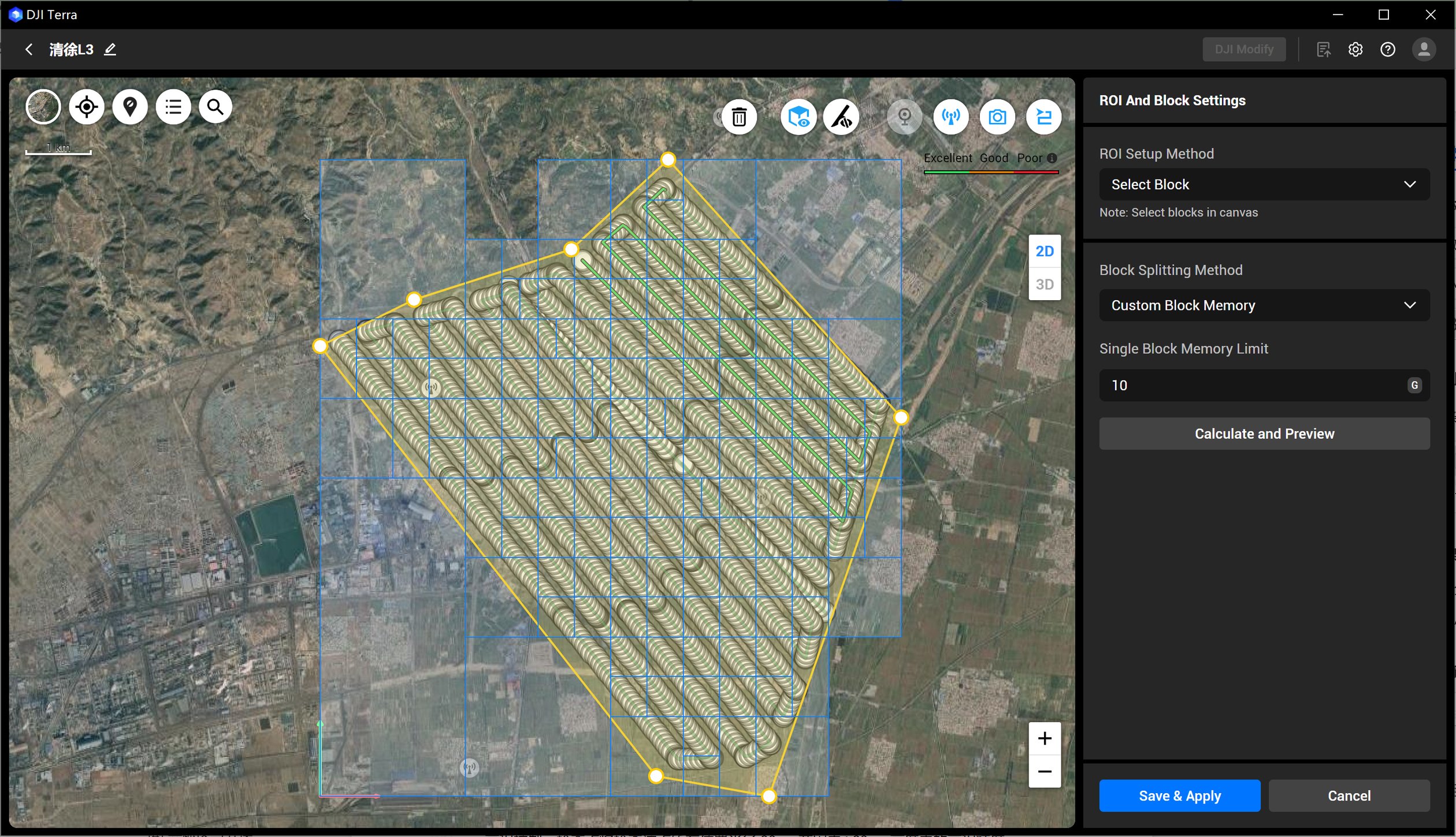
SV-03 and SV-06 include a twelve-month Terra Flagship licence as a separate package item. DJI identifies L3 point-cloud processing as a free Terra feature under its stated version conditions. [1] Do not describe Flagship as a mandatory paid unlock for every L3 reconstruction.
Instead, verify the actual version, task and downstream outputs the team intends to use. Prepare the workstation and storage around a representative dataset. If further editing or specialist interpretation is needed, name that work separately. A licence line in the quotation does not establish that a terrain model has been checked or accepted by its intended user.
Turn the pilot into a purchase decision
Bring the field operator, processing lead and recipient together for the review. Compare the result against the original brief and list unresolved dependencies. Separate issues that training can address from matters needing a different capture plan, supplementary survey or specialist judgement. Avoid using a single impressive section as evidence that all future sites will be equally straightforward.
Keep the conclusion proportionate: adopt this workflow for the tested purpose, undertake another targeted trial, or change the specification. This is stronger buying evidence than a claim that LiDAR is always faster or more accurate. It also creates a useful record for the next person asked to operate or accept the system.
Questions for the L3 demonstration
Will the package guarantee a complete bare-earth model?
No. Specify and validate the surface that the actual observations can support.
Does Power 2000 improve the measurements?
No. It changes field-power provision through compatible charging equipment.
What should we request next?
Review SV-03 and SV-06. Then share a representative site and acceptance brief, including the surface, reference information and recipient who will review the result.
Explore the equipment packages on Irish Drone

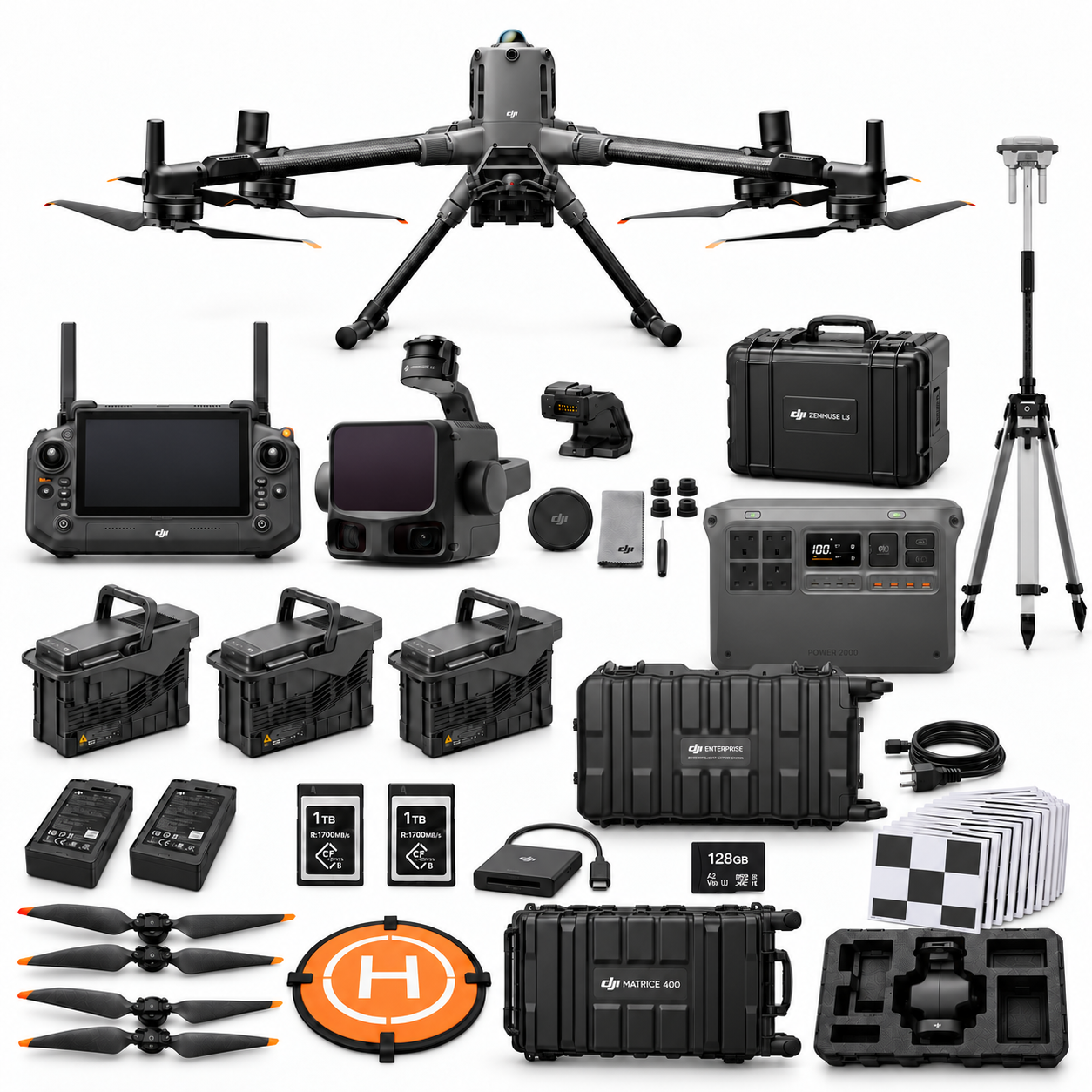
Package illustrations show the listed configurations. Battery quantities are whole-package totals.
Official manuals and setup guidance
Continue with the guide for your work
Documentation and evidence
Sources for the cited guidance
- DJI L3 supportRead source ↗
Reviewed 3 November 2026.
- DJI L3 user manualRead source ↗
Reviewed 3 November 2026.




Pingback: Drone Survey Packages Ireland: M4E or M400 L3?
Pingback: M4E Survey Data Handover: Terra, CAD and QA
Pingback: SV-01 vs SV-02: M4E RTK and Survey Control