
FORESTRY & TREE CARE · YOUNG WOODLAND CARE
Organise establishment visits with visible concerns, location records and ground follow-up, while keeping management decisions with the forester.
Evidence reviewed 3 November 2026 · Ireland
The practical answer
Use imagery to organise the next establishment visit. Define the block, record visible concerns and leave uncertain areas unresolved until checked on the ground. Choose capture and processing around that handover, rather than expecting an aerial image to certify survival or prescribe vegetation control.
Turn an establishment problem into a brief
Begin with the owner’s maintenance question. Perhaps one corner of a young planting block appears uneven, or a contractor needs a clearer list of places to inspect. Describe the block, planting date, management responsibility and existing records. The aim is a useful return visit rather than an image collection with no defined recipient.
Separate a visible concern from its possible cause. An apparent gap may be a missing tree, a hidden tree or a problem with the image. Ask the reviewer to retain uncertainty rather than forcing each point into a maintenance category. Agree what can be described from above and what must remain for the ground team.
Use the image to target the walk
Teagasc links inadequate vegetation control with poorer establishment and emphasises site and tree conditions. [1] Use that guidance to frame an observation question without turning the flight into a treatment instruction. Ask where a closer check is needed, rather than which operation should automatically be applied.
Give the ground team identifiable boundaries and a way to record findings. Include apparently satisfactory places so the trial tests misleading imagery as well as highlighted concerns. Keep resulting management decisions with the appropriate adviser and current requirements. No treatment method, product selection or permission is added to a capture package by the existence of an aerial record.
Create records a contractor can use
Anonymous dots on a map are difficult to act on. Give each observation an identifier connected to an original image, block reference and short description. Use “possible gap, ground check needed” where that is all the evidence supports. Keep an empty or uncertain result distinct from a confirmed observation.
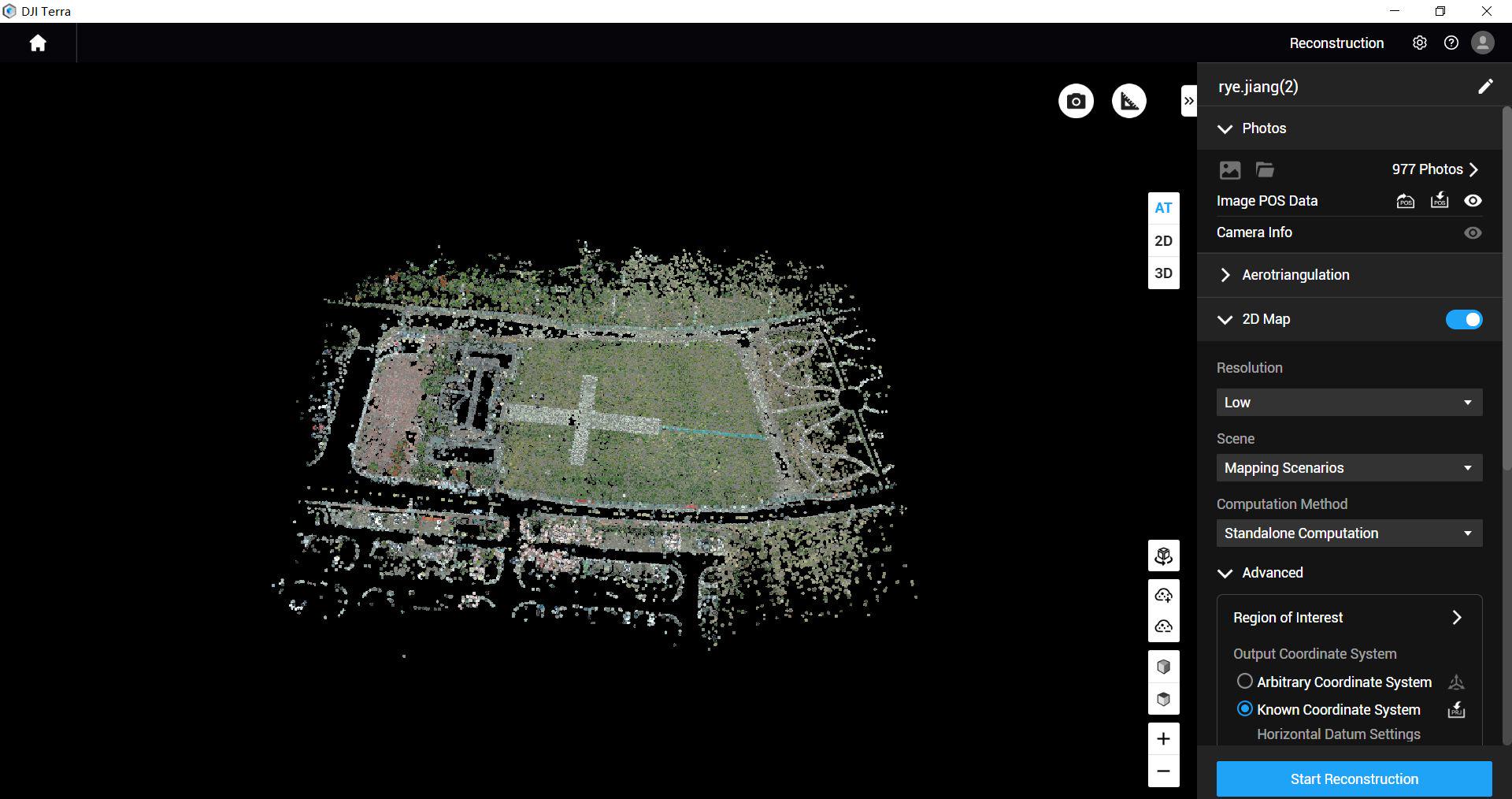
Discuss how the recipient works outdoors. A printable overview and a structured list may be more useful than a large presentation. Keep date and orientation visible. Where reception is difficult, ensure the record remains usable without signing into an unfamiliar tool. Confirm whether the contractor can annotate the same register and return it without losing connections to the original images.
Match equipment to the handover
FO-01 provides Matrice 4E, five total flight batteries and the specified annual Terra Standard licence for Matrice 4E/4D data. FO-03 is the corresponding configuration with DJI Power 2000. Discuss either around the intended visual record and processing responsibility.
FO-02 uses Mavic 3 Multispectral, four total flight batteries and no processing licence. Choose it when a reviewer has a practical reason for the data and compatible processing. An establishment enquiry does not itself establish that multispectral output will be more useful. Ask for the simplest evidence that will serve the decision and identify every step still needed after capture.
Choose a block with ground information
For a hypothetical trial, select a young woodland block with recent maintenance records. Ask a ground team to identify a manageable set of locations independently, then compare those records with the aerial review. Keep the exercise away from a claim that every plant has been remotely inspected.
Can people find each location? Is there enough information to understand the concern? How often does it have a different explanation on site? Include places obscured by vegetation and preserve that limitation. The team should record time spent sorting files and preparing the handover as well as time flying; otherwise the purchase assessment ignores a substantial part of the process.
Return field findings to the record
Open Forest Observatory includes ground-reference assessment in its mapping workflow. [2] For establishment work, adapt that principle by returning field findings to the observation register. Preserve the aerial note alongside the confirmed field observation so that they remain distinguishable.
Record who reviewed an issue and whether action was taken. If a contractor changes an identifier, keep its connection to the original. Never overwrite “unobserved” with “satisfactory” just because no work was ordered. This allows an owner to distinguish a completed check from missing evidence, and to understand why an issue was closed, deferred or returned for advice.
Give the next visit a purpose
A repeat visit might confirm completion of agreed follow-up, revisit an area previously hidden or establish a new record for the next maintenance review. Retain enough information to understand differences between visits. Ask the forester which question matters now rather than repeating a flight simply because it was flown before.
Timing depends on the site, work and visibility, so no universal interval is promised here. If a ground photograph answers the follow-up question, an entire aerial exercise may be unnecessary. The package training and dataset-quality reviews can be scoped around the agreed capture process, but they do not become a professional establishment inspection or a guarantee that all maintenance needs have been identified.
Questions for the establishment handover
Can this replace a site inspection? Keep ground inspection and professional judgement in the process. Will every missing tree appear? Trial the actual site and record unseen areas instead of promising a complete census. Is treatment included? No vegetation-control operation or diagnosis is added.
Which package adds portable power? FO-03. It is not automatically supplied with FO-01 or FO-02. Compare FO-01 and FO-03, or send a planting-block brief. Return to the forestry selection guide if the recording task is still undecided.
Explore the equipment packages on Irish Drone

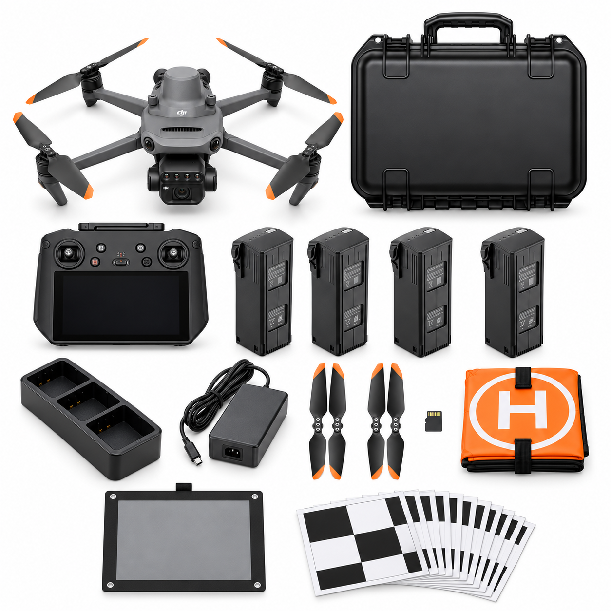
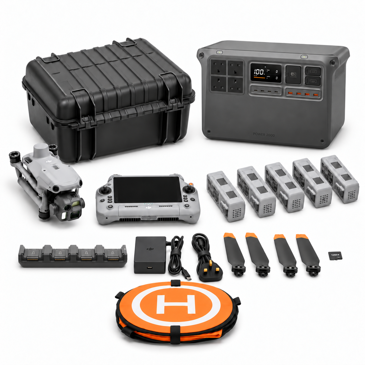
Package illustrations show the listed configurations. Battery quantities are whole-package totals.
Official manuals and setup guidance

Continue with the guide for your work

Documentation and evidence
Sources for the cited guidance
- Young woodland maintenanceRead source ↗
Reviewed 3 November 2026.
- Forest map validationRead source ↗
Reviewed 3 November 2026.




Pingback: Forestry & Tree Care Drones Ireland | Irish Drone