
ENVIRONMENT & HABITATS · SELECTION GUIDE
Select a capture workflow for habitat observations, restoration records or visible wetland boundaries, with the ecological review planned from the start.
Evidence reviewed 3 November 2026 · Ireland
Choose the guide for your task
The practical answer
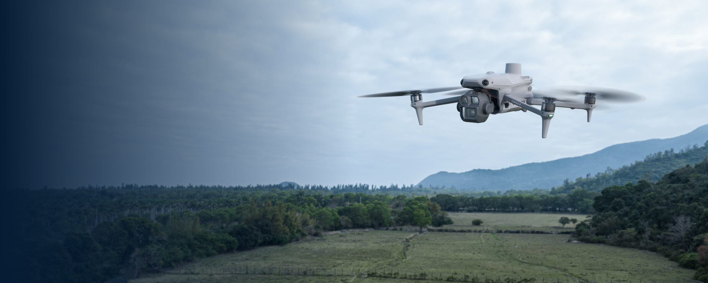
Choose the evidence required by the environmental decision. EN-01 provides Mavic 3 Multispectral with customer-supplied processing; EN-02 provides Matrice 4E, D-RTK 3 and the specified Terra Standard entitlement. Ground information, professional interpretation and a clear data handover remain part of the complete process.
Define the environmental decision
An environmental project might need a visual record of works, a comparison of vegetation observations or a mapped outline of visible water at a particular time. These outputs are different. Describe the decision, location and person responsible for interpreting the evidence before choosing equipment.
Ask what will happen after delivery. Will an ecologist select field-check locations, a manager confirm that planned works were documented, or an engineer interpret an event record? Each recipient needs a different scope. Aerial imagery becomes more valuable when its role is explicit and the project has a way to resolve observations that remain uncertain.

Prepare the habitat-monitoring workflow
EN-01 includes Mavic 3 Multispectral, four total flight batteries, the listed reflectance panel and capture accessories. No processing licence is supplied. Identify the processing tool and responsible person before treating the package as a complete analytical workflow.
The Heritage Council’s guidance connects habitat mapping with field records and documented data quality. [1] Use that framework to ask how imagery will support the existing ecological method. A map layer may direct attention, but its meaning comes from the defined survey and review. Keep the original files and record what the supplied output is intended to establish.
Define the visible-mapping route
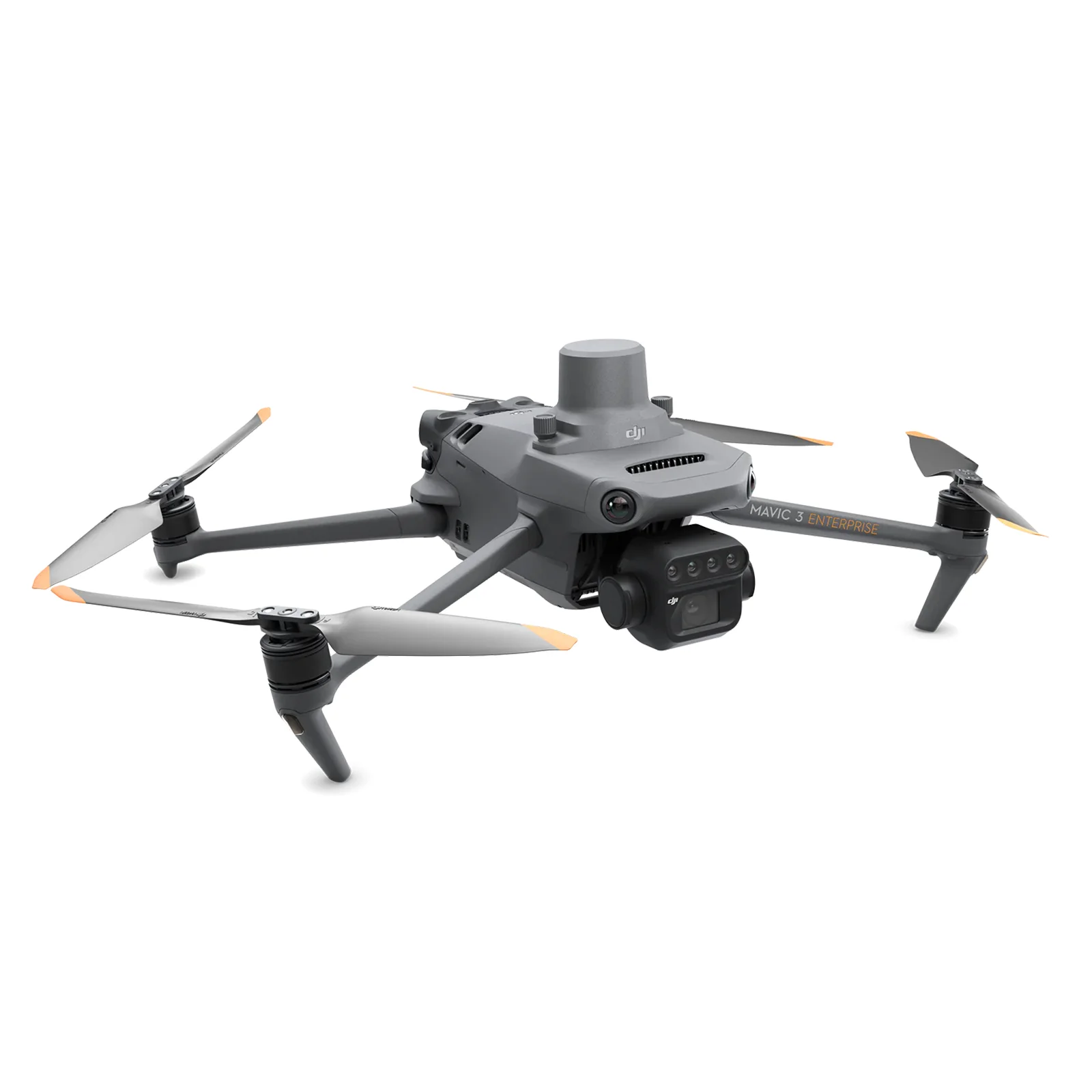
EN-02 supplies Matrice 4E, five total flight batteries, D-RTK 3 Multifunctional Station with pole/tripod, survey targets and the stated annual Terra Standard licence for Matrice 4E/4D data. Discuss the intended map, coordinate handling and acceptance checks with its recipient.
A positioning arrangement is one part of delivery. The team still needs usable images, an agreed processing method and evidence that the final record serves the question. Write these requirements into the brief instead of inferring a certified outcome from the presence of a base station. Any professional analysis or additional processing remains a separate scope to confirm.
Separate works evidence from ecological response
Bord na Móna describes overlaying drone photographs with rehabilitation plans in an EU practice abstract. [2] This is a useful example of a defined evidence question: where planned works are represented. It is different from proving every ecological outcome of rehabilitation.
For a restoration brief, list the observations required now and the longer-term questions needing further information. A completed-work record, vegetation comparison and ecological condition assessment may share a site but require separate acceptance. Plan the field checks and reviewer for each. This helps a manager choose equipment without silently adding a carbon, water-table or biodiversity certification.
Keep event observations tied to time
OPW distinguishes flood hazard information from records of past events. [3] An image of visible water is a time-specific observation, so define its intended use and preserve capture timing. Ask an appropriate professional what additional information is needed to interpret it.
Keep obscured places and uncertain boundaries visible in the record. A clear outline does not itself determine water depth, peak extent or future risk. EN-02 can be discussed for a planned visual-record task, while any work around an active event requires an appropriate safety and operating assessment. The equipment enquiry should support that process rather than encourage unplanned attendance at a flood location.
Test a representative deliverable
A hypothetical habitat project could trial one agreed area, with independently recorded field information and a reviewer who already knows the intended management question. Compare the proposed images and processed record with that information before widening the work.
Include difficult or ambiguous places rather than selecting only easy imagery. Record missing coverage, processing effort and questions the output failed to answer. Ask whether another person can reopen and use the deliverable. A small pilot can reveal that the dataset is useful, that the scope needs changing or that a different method is required. Each is a practical purchasing outcome when the decision and acceptance criteria were agreed beforehand.
For example, ask the reviewer to compare a draft overview, one close inspection area and the accompanying field notes. Their response should identify what they can decide confidently and what still needs a site visit. Use that response to refine the requested deliverables before agreeing the wider purchase.
Agree responsibilities and software
EN-01 includes four hours of training for up to two people; EN-02 includes six hours for up to three. Both offer six months of introductory email support and two dataset-quality reviews, subject to agreement. These reviews concern the agreed capture dataset rather than ecological certification.
Assign capture, processing, field verification and interpretation responsibilities. Use current manufacturer and official planning resources for the actual operation. Read restoration records, visible wetland and flood boundaries and ecological data handover for narrower briefs. Keep the scope of software and review explicit through the enquiry and delivery.
Questions before selecting equipment
Does EN-01 include analysis software? It has no image-processing licence. Does EN-02 include unrestricted Terra? The stated Standard entitlement is for Matrice 4E/4D data. Will the images classify every habitat? Agree and validate any classification with the ecological reviewer.
What should an enquiry include? The decision, site, desired output, existing field information and reviewer. Compare EN-01 and EN-02, or discuss the capture and training scope.
See the software workflow
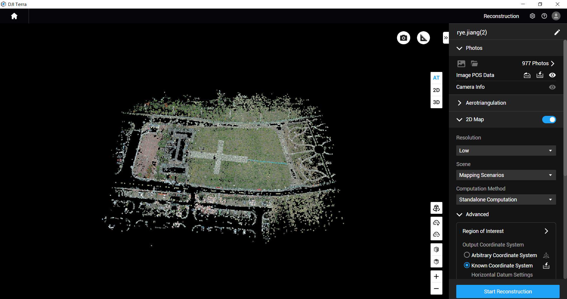
The software image is a manufacturer workflow reference. Check the written licence edition and the supported aircraft, file type and project method before choosing a processing route.
Compare the confirmed package configurations
Explore the equipment packages on Irish Drone
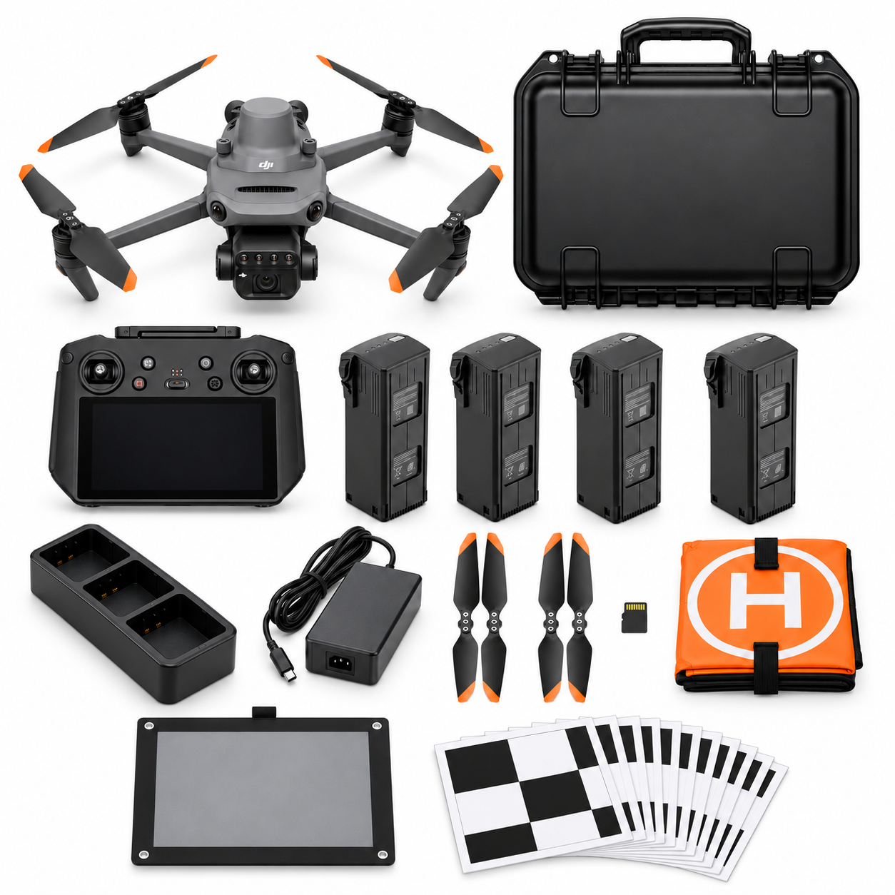
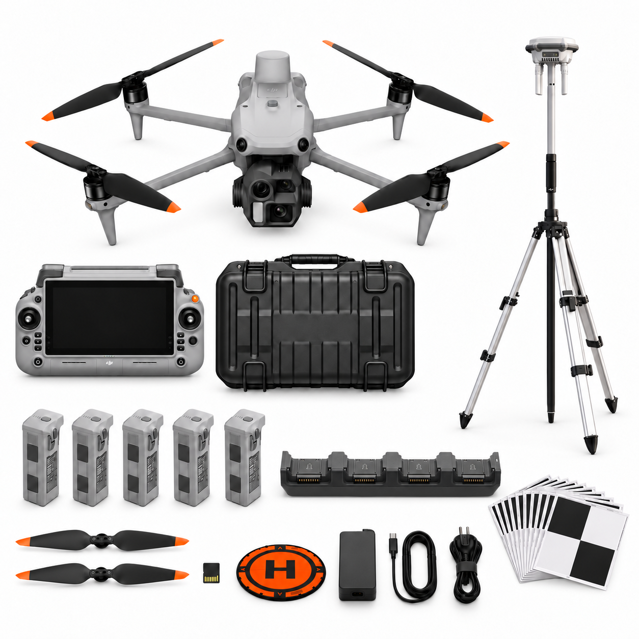
Package illustrations show the listed configurations. Battery quantities are whole-package totals.
Official manuals and setup guidance

Continue with the guide for your work
Documentation and evidence
Sources for the cited guidance
- Irish habitat mapping guidanceRead source ↗
Reviewed 3 November 2026.
- Peatland rehabilitation evidenceRead source ↗
Reviewed 3 November 2026.
- OPW flood map contextRead source ↗
Reviewed 3 November 2026.





Pingback: Preparing Drone Data for Ecological Review | Irish Drone
Pingback: Planning Drone Records for Habitat Restoration | Irish Drone