
ENVIRONMENT & HABITATS · WETLAND BOUNDARY RECORDS
Plan a dated visual record of wetland or flood boundaries, with clear treatment of obscured areas, coordinate checks and professional interpretation.
Evidence reviewed 3 November 2026 · Ireland
The practical answer
Define the visible feature, capture time and intended recipient before choosing a drone workflow. EN-02 combines Matrice 4E, D-RTK 3 and the specified Terra Standard licence for planned photographic mapping. Treat its output as observed evidence; depth, peak extent and future flood risk require other information.
Ask which boundary the record needs to show
A wetland manager, an engineer and a landowner may use the word boundary to mean different things. One might want the visible edge of standing water, another the extent of a named habitat, and another an event record for later investigation. Agree the feature and purpose in writing before deciding how to capture it.
State the observation date or event stage, the area of interest and the person who will interpret the output. A photograph can help preserve what was visible. Turning that observation into an ecological boundary or an engineering conclusion is a further task, with its own evidence requirements and reviewer.
Distinguish a snapshot from flood-risk information
OPW presents predicted flood hazard information separately from past-event records. [1] Keep that distinction in the project brief. A drone record gathered at one time can supplement an investigation, but the capture date alone does not establish that the image shows the highest water level.
Ask the recipient how they will combine the imagery with their other information. Preserve the original files, timing and relevant field observations. This gives the later reviewer a way to assess the record in context. Label the delivered layer by what it actually represents, such as a dated visible-water outline, rather than giving it the authority of a predictive map.
Make ambiguity part of the brief
Prepare a small interpretation schedule before processing. It should identify the feature, the evidence used to trace it and how uncertainty will appear. Useful categories might include clearly visible edge, obscured edge and area outside the record. The receiving professional should approve the categories for the particular task.
Vegetation, shadow, reflections and incomplete coverage can leave areas difficult to interpret. Record these as gaps or queries rather than forcing a continuous line. Keep any later interpretation in a separate version. A transparent record with an unresolved section is easier to assess than an apparently complete outline whose uncertain parts have been hidden.
Choose the capture and processing scope
EN-02 supplies Matrice 4E, five total flight batteries, D-RTK 3 Multifunctional Station with pole/tripod and the listed survey targets. Its annual Terra Standard entitlement is scoped to Matrice 4E/4D data. Confirm the intended processing and coordinate workflow with the recipient.
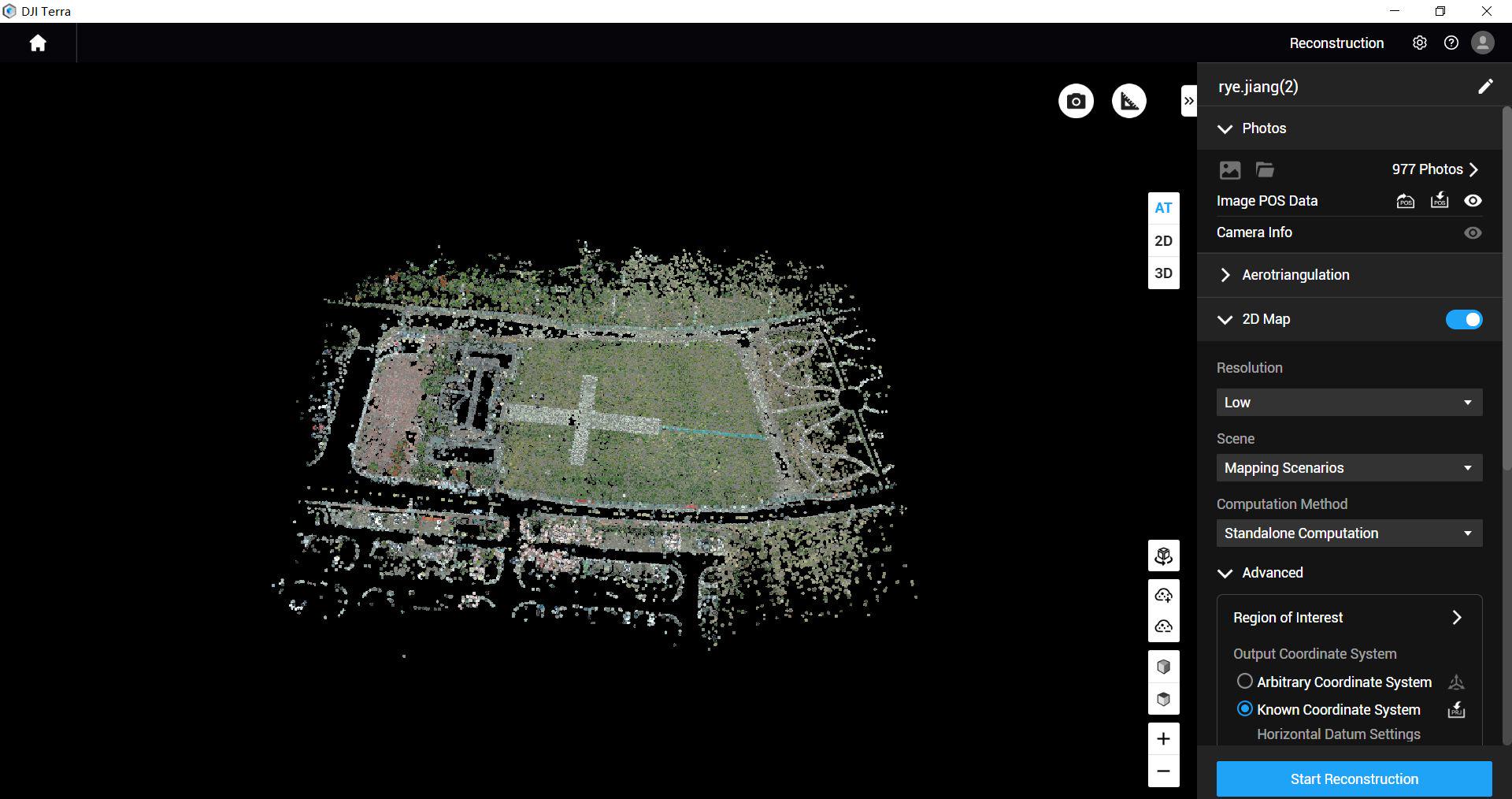
Discuss an output example rather than asking for a generic map. Will the recipient need the source photographs, an overview image, a traced observation layer or a combination? Agree an appropriate way to assess the delivered record. Positioning equipment supports a planned workflow; it does not replace checks of image quality, interpretation or fitness for the intended use.
Arrange the operation around the site
Build the operation around suitable access, current conditions and the relevant operating assessment. For an active event, coordination and safety come before collecting images. OPW explicitly discourages people from attending flood locations to gather records. [1] A product enquiry should help an authorised team prepare, rather than prompt an unplanned site visit.
For scheduled wetland work, agree the survey window with the site manager and ecological adviser. Identify access constraints, sensitive areas and the information already available. Keep the capture plan and the interpretation brief connected, so the required observation can be considered alongside practical and environmental constraints.
Try a limited, reviewable record first
Consider a hypothetical manager who needs a dated record of visible water beside a restoration area. They identify one accessible section and ask their reviewer to assess a sample overview, source images and proposed outline. They also provide existing site information and mark places where the edge is difficult to observe.
The pilot review asks whether the record can be reopened, understood and related to the original question. It notes areas requiring another observation or a different method. If the image cannot resolve a particular edge, that becomes an explicit finding. The wider scope can then concentrate on useful records instead of promising a complete answer everywhere.
Deliver the context with the images
Include the location, capture timing, coordinate reference, processing version, interpretation author and identified gaps in the handover. The Heritage Council’s habitat guidance treats metadata and quality documentation as part of survey work. [2] Adapt the project record to the receiving team’s needs, rather than assuming the exported image is sufficient.
EN-02 includes six hours of training for up to three people, six months of introductory email support and two dataset-quality reviews, subject to agreement. Use the enquiry to define what those reviews cover. See the separate ecological data-handover guide for organising the evidence, or compare the environmental packages.
Questions about wetland and flood records
Can the image establish water depth? A visible outline alone does not establish depth; ask the responsible professional what additional information they need. Is it a habitat map? It becomes a habitat interpretation only through the agreed ecological method and review.
What if part of the feature is hidden? Deliver a clear uncertainty record and agree further investigation where necessary. What should I send with an enquiry? The feature to record, the intended use, location, timing constraints and reviewer. Discuss a planned capture and training scope before committing to the full task.
Explore the equipment packages on Irish Drone
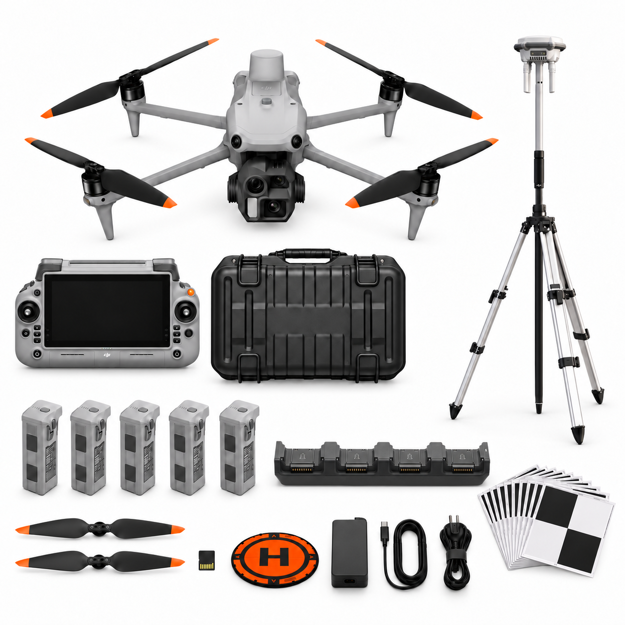
Package illustrations show the listed configurations. Battery quantities are whole-package totals.
Official manuals and setup guidance

Continue with the guide for your work

Documentation and evidence
Sources for the cited guidance
- OPW flood map contextRead source ↗
Reviewed 3 November 2026.
- Irish habitat mapping guidanceRead source ↗
Reviewed 3 November 2026.




Pingback: Choosing Drones for Environmental and Habitat Records | Irish Drone
Pingback: Planning Drone Records for Habitat Restoration | Irish Drone