
AGRICULTURE & FARMING · CROP MONITORING
A practical guide for Irish growers and agronomists: agree the field question, check the data and follow the map with a documented ground investigation.
Evidence reviewed 3 November 2026 · Ireland
The practical answer
Mavic 3M can help a farmer or agronomist map crop variation and decide where to investigate. A useful workflow combines planned RGB/multispectral capture, customer-supplied compatible processing and recorded field checks. NDVI and NDRE are evidence for assessment, not confirmed diagnoses or application rates. Irish Drone AG-01 and AG-02 provide the listed equipment, training and support; neither includes image-processing software.
Start with one field and one decision
Before commissioning a flight, write a question the farmer and agronomist can answer together. Where is establishment uneven? Which part of a field needs a closer walk? Does a previously identified patch warrant further investigation? Name the decision, its deadline and the person who will review the evidence.
Teagasc describes drone and satellite imagery as aids to finding crop variation, alongside regular crop walking and follow-up investigation. [1]
Prepare a field record with crop, variety, sowing date, growth stage, recent operations and relevant observations. Choose an accessible comparison area as well as the suspect patch. This is a practical planning framework, not a claim that Irish Drone has tested every Irish crop or provides agronomic diagnosis.
Multispectral indices show patterns, not a confirmed cause
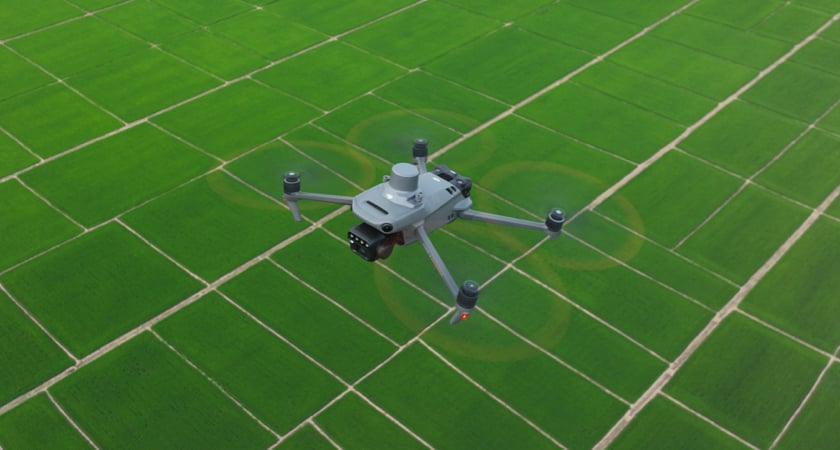
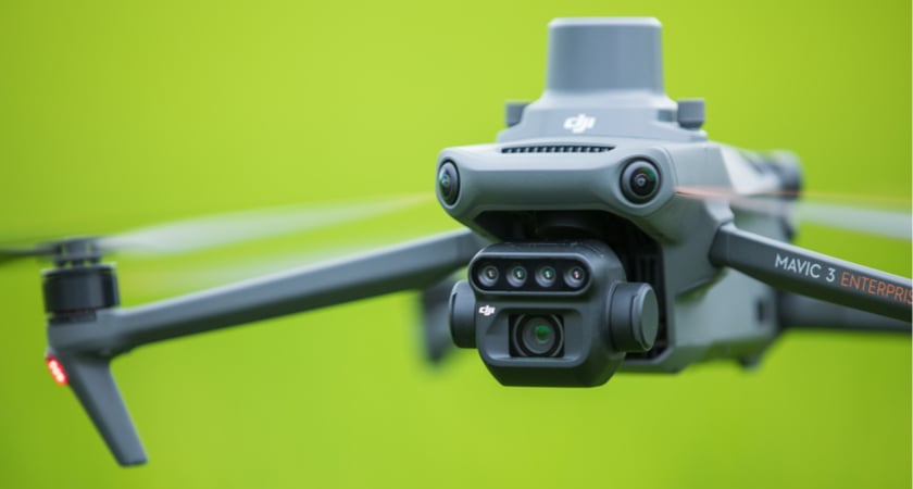
Mavic 3M combines RGB imagery with green, red, red-edge and near-infrared bands. It is a multispectral capture aircraft, not a thermal-imaging camera. [2]
NDVI combines red and near-infrared information; NDRE uses red-edge and near-infrared information. Purdue Extension stresses that index comparisons still need ground-truthing. [3]
Use these layers to formulate a question, rather than naming a disease from a colour. A different-looking zone belongs on the scouting list; it does not yet belong on a treatment order. Ask the reviewer which index is appropriate for this crop, stage and purpose. If the requested evidence is canopy temperature, change the sensing brief rather than relabelling an index map as thermal data.
Plan a usable capture window
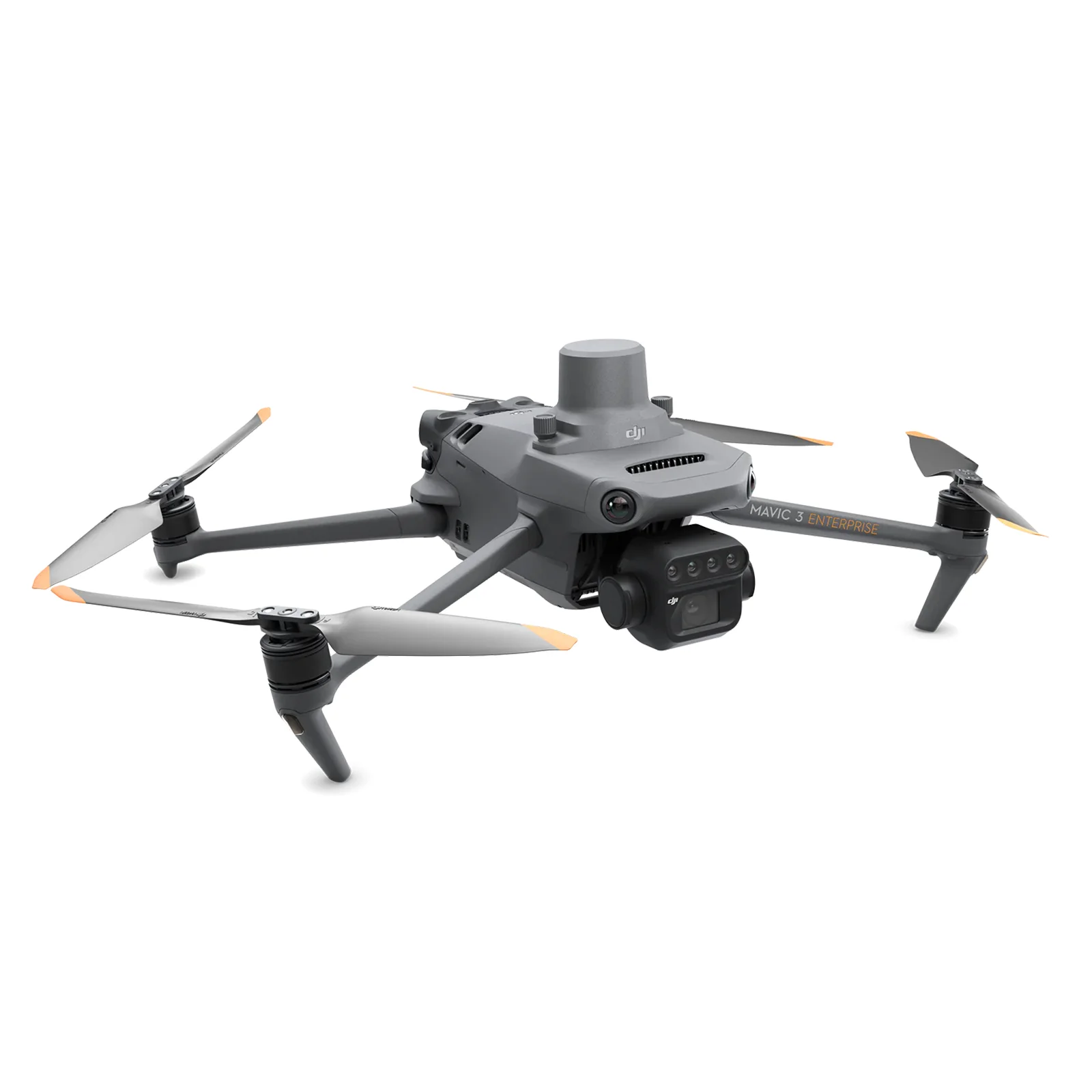
DJI recommends good light and a solar elevation of at least 30° for multispectral acquisition. Mavic 3M is not waterproof. [4] Treat this as manufacturer capture guidance, not a fixed Irish timetable or permission to fly.
- Agree the output first. Set the required detail and coverage with the processor; choose flight parameters for that requirement and the actual terrain.
- Prepare the equipment. DJI’s pre-flight checklist includes clean, unobstructed cameras and sunlight sensor, secure components and current aircraft/app firmware. [5]
- Record the context. Log field identifier, date, crop stage, lighting changes, wind observations, capture settings and positioning status.
- Check before leaving. Open representative files and inspect coverage and sharpness. Record unfinished areas and agree whether a repeat is needed.
Arrange site access and check the intended operating requirements through the IAA’s drone guidance before the visit. [6]
Choose a compatible processing workflow before buying
AG-01 and AG-02 include no image-processing software licence. The customer supplies a compatible workflow; neither package promises Pix4Dfields, another Fields product, DJI Terra or an included processing subscription.
DJI’s processing guide describes image metadata, radiometric corrections and alignment between bands. An unprocessed multispectral image should not simply be treated as a calibrated reflectance map. [7]
- Preserve the capture. Back up the original files and metadata together. Work on a copy and retain the field record and any calibration observations.
- Confirm model support. Check the software version, Mavic 3M input support, band assignment and supported correction/calibration method. If using a reflectance panel, follow the chosen workflow’s instructions for that panel.
- Inspect the reconstruction. Review RGB and multispectral layers for gaps, blur, displaced features, shadows and joins. Mark unreliable areas rather than silently interpreting them.
- Prepare the handover. Export the agreed maps and scouting locations with a numerical legend, date and processing settings. Test that the agronomist can open them before scaling the work.
Turn the map into a field-check plan
Choose locations that test an explanation, including an apparently ordinary part of the field. Agree a safe visit route and use the same identifiers in the map, photographs and notes. The following prompts are suggested checks, not diagnoses.
| Map observation | Question for the field visit | What to record |
|---|---|---|
| A contrasting patch | Does the crop on the ground differ from the comparison area? | Plant cover, visible symptoms, weeds, photographs and location. |
| A strip or repeated pattern | Does it correspond with a recorded operation or traffic route? | Management history and observations, without assuming causation. |
| A suspect wet area | What can be established safely from access, soil and drainage information? | Site observations and any adviser-directed sampling needed. |
| An unexplained difference | What evidence would distinguish the possible explanations? | Next investigation, responsible person and review date. |
Keep three separate entries: what the image shows, what was found on the ground and what remains uncertain. That separation makes the record useful to the next adviser.
Compare visits on more than their colours
A cereal field experiment compared UAV and handheld measurements across growth stages and genotypes. Its findings depend on that trial context; they are not a Mavic 3M validation or an Irish yield guarantee. [8]
Record growth stage and management changes before interpreting a later map. A study of other multispectral sensors found reflectance variability between surveys, with illumination and atmospheric conditions affecting comparisons. [9]
For a repeat programme, retain boundaries, processing settings, calibration records and a consistent comparison method. Check numerical values and legends: a similarly coloured screenshot is not a documented measurement of change. If capture or processing differs materially, flag that limitation and agree with the reviewer whether comparison is still useful. Decide the next visit around the agronomic question, rather than promising a universal weekly flight schedule.
Keep an index map separate from an application prescription
Teagasc’s nutrient-management guidance links fertiliser planning to soil-test information and crop requirements. [10] A colour class alone should not become a nitrogen rate, pesticide recommendation or promised yield.
If the customer wants variable-rate application, define a separate adviser-led decision process and test the receiving equipment’s requirements. Agree who approves rates, restrictions and output files. Retain the evidence behind the decision. The drone’s contribution here is imagery and location information; purchasing either crop package does not supply an agronomic model, application service or a guaranteed financial result.
Questions to settle before the first flight
Must every job use both NDVI and NDRE?
No. Agree the useful layers with the reviewer and test them on representative data. More indices do not remove the need for a field question and verification.
Does RTK replace calibration or crop checks?
No. Positioning, radiometric processing and agronomic interpretation are different parts of the acceptance brief. Request evidence for each instead of treating an RTK label as proof of the final result.
Is a processed map part of the package?
No processing licence is included. Confirm who will process the images, with which customer-supplied workflow, and who will investigate findings before ordering.
Choose the package around the complete workflow
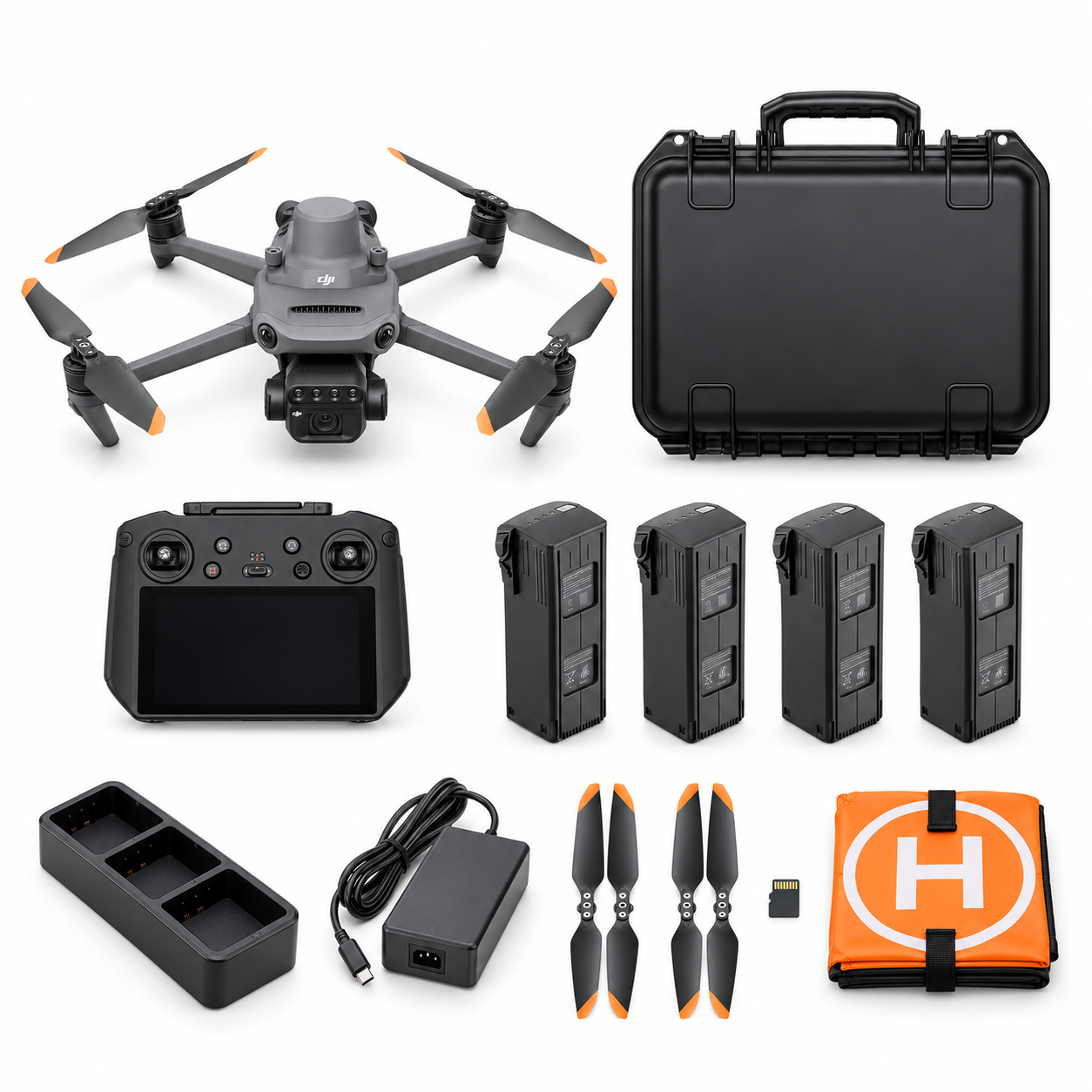
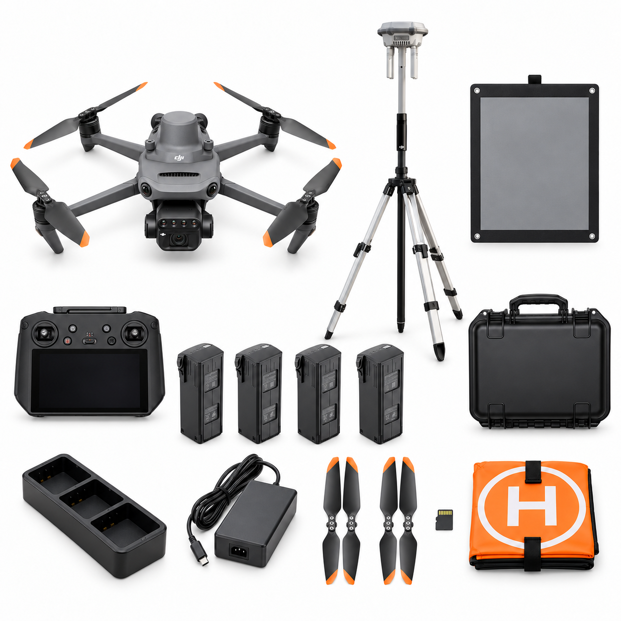
AG-01 Crop Monitoring Essential combines Mavic 3M, four flight batteries in total, training and introductory support. AG-02 Crop Advisory Professional retains four batteries and adds the specified D-RTK 3 station, pole/tripod and compatible calibrated reflectance panel, with its listed training, support and first-project dataset review.
Neither includes processing software, spraying services or agronomic diagnosis. Check the written included-items list and agree firmware, panel/workflow compatibility and review scope. Send Irish Drone your crop, area, intended decision, processing plan and review arrangements to discuss the suitable equipment package.
Explore the agriculture packages on Irish Drone
Official manuals and setup guidance
Continue with the guide for your farm

Documentation and evidence
Use the current instructions for the selected equipment and the requirements of your actual operation.
Technical sources and scope
- Teagasc: Walking crops remains one of the most valuable management tools
No named farm/customer borrowed; no rate, threshold or claimed yield benefit imported. Reviewed 3 November 2026.
- DJI Mavic 3M specifications
Do not describe the obstacle infrared sensor as a thermal camera; no guaranteed map accuracy, hectares per flight or flight time. Reviewed 3 November 2026.
- Purdue Extension: Plant health mapping comparison
Only compact band definitions and need for verification; no universal healthy range or diagnostic interpretation. Reviewed 3 November 2026.
- DJI Mavic 3M FAQ
30degrees is manufacturer imaging guidance, not Irish flight law or a fixed clock time. Old FAQ camera5.5MP/550nm conflicts with current specs; not reused. Reviewed 3 November 2026.
- DJI Mavic 3M User Manual v1.8
Only compact pre-flight reminder in public draft; no simulator/hands-on UI claim. RTK2 mention in2024manual is not evidence against laterD-RTK3 firmware support. Reviewed 3 November 2026.
- IAA drone guidance
Only direction to check the intended operation; no claim of automatic Open-category eligibility, BVLOS or authorisation. Reviewed 3 November 2026.
- DJI Mavic 3M Image Processing Guide v1.0
No specific current software UI, automatic diagnosis, processing entitlement or unverified export promise. Reviewed 3 November 2026.
- Grbovic et al.: Integrating UAV multispectral imaging and proximal sensing for high-precision cereal crop monitoring
Not Mavic3M; no trial accuracy, calibration, optimum stage or yield-rate transfer to Irish farms. PMC mirror is the same source, not another budget. Reviewed 3 November 2026.
- Cao et al.: Radiometric calibration assessments for UAS-borne multispectral cameras
Abstract-level narrow finding only; full paper not claimed read, no M3M benchmark or numerical calibration performance imported. Reviewed 3 November 2026.
- Teagasc: Nutrient Management Planning: An Essential for Sustainable Farming
No nutrient rate, current regulatory limit or guaranteed saving derived. Reviewed 3 November 2026.
- DJI: Mavic 3 Multispectral top features
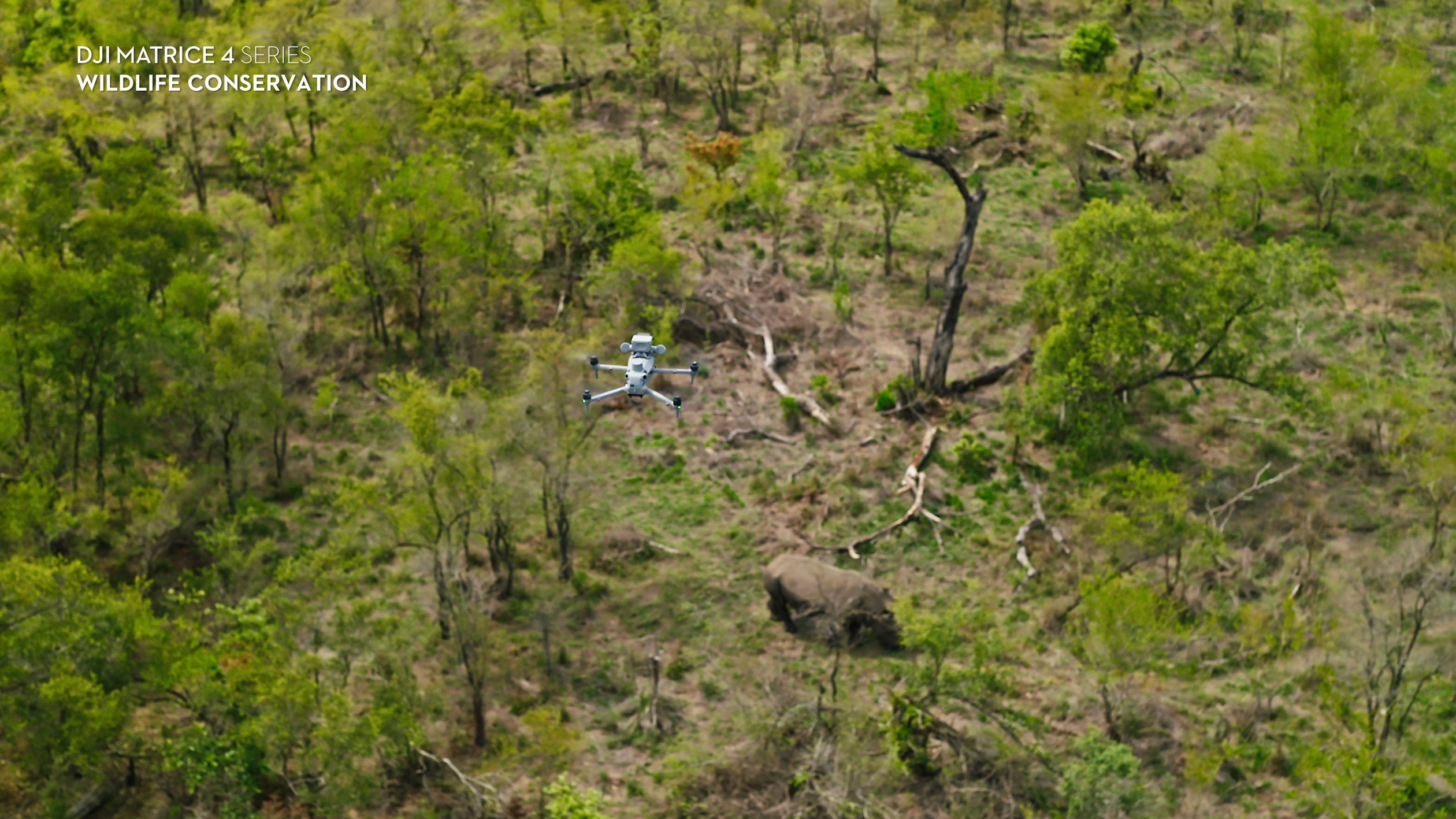
Media caption/alt only. Published DJI application visual, not an IrishDrone project, Irish field, crop type proof or measurement result. Reviewed 3 November 2026.
Compare equipment packages
Explore Agriculture & Farm Operations drone packages →
To discuss equipment for crop imaging, contact Irish Drone with the crop, field conditions and intended processing workflow.





Pingback: Mavic 3M RTK: AG-01 or D-RTK 3 AG-02? | Irish Drone
Pingback: Mavic 3M to Agras | Prescription Workflow Checks
Pingback: Matrice 4T for Livestock & Farm Checks | Irish Drone
Pingback: Agriculture Drones Ireland: Mavic 3M or Matrice 4T?