
QUARRIES & AGGREGATES · SELECTION GUIDE
Equipment selection for quarry managers and survey teams starts with the decision behind the measurement.
Evidence reviewed 3 November 2026 · Ireland
Choose the guide for your task
The practical answer
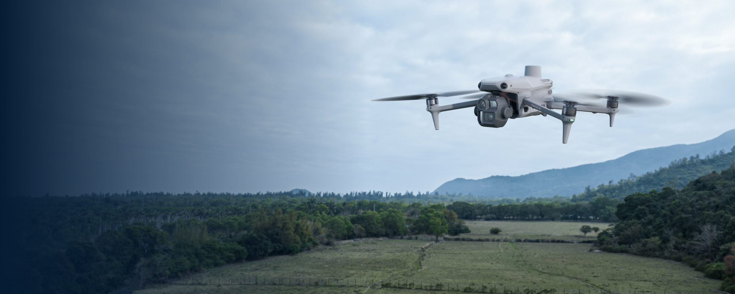
Use the required output to compare the three routes: M4E stockpile capture, M400/P1 photogrammetry and M400/L3 terrain work. Establish the measurement boundary, base surface, reference system and independent checks before judging equipment. The matching Power 2000 products change field-power provision, not the volume calculation or accepted uncertainty.
Name the quarry decision before choosing the sensor
Stock reconciliation, a current site model and a record of a changing face are different requests. Begin with the person who needs the information and the decision it will support. Ask whether the output will be used for internal planning, inventory comparison or a more consequential engineering task. That distinction determines the required checking and professional involvement.
Keep a brief that lists the survey extent, the reporting date and what is deliberately outside scope. If the quarry team needs quantities for several materials, identify the piles and the person responsible for their identities. An impressive model cannot correct a report that assigns a measurement to the wrong material or reporting period.
Compare the approved capture routes
| Route | Package pair | Practical assessment |
|---|---|---|
| M4E stockpile capture | MQ-01 / MQ-04 | Can the accessible surfaces and existing reference support the inventory brief? |
| M400 with P1 | MQ-02 / MQ-05 | Does this photographic workflow suit the broader site deliverable? |
| M400 with L3 | MQ-03 / MQ-06 | What terrain observations, classification and checks are required? |
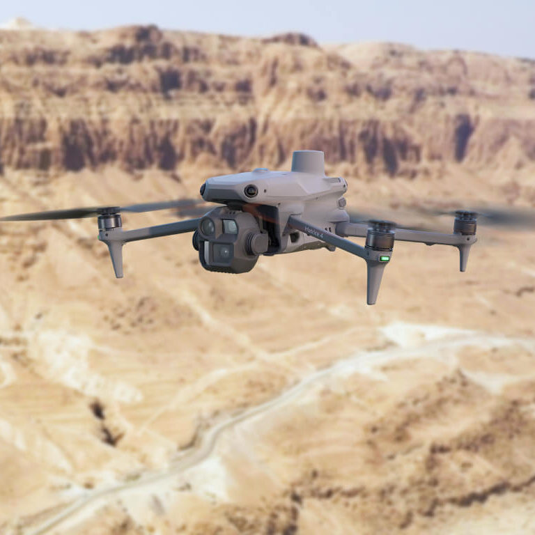
The M4E route includes five total flight batteries. Each M400 route includes three. MQ-04, MQ-05 and MQ-06 add Power 2000 to their corresponding route. Treat these as whole-package quantities and logistics choices, not guarantees about how much of a working quarry can be captured in a day.
Make the base and boundary part of the brief
A stockpile volume is meaningful only in relation to the lower surface and the boundary used for calculation. Establish who approves those choices. Keep the selected reference and its limitations with the report so a later reviewer can understand what the number represents. Do not let a default software setting quietly become the company’s measurement policy.
Research comparing stockpile survey methods illustrates that agreement must be assessed through the whole measurement approach. [1] Apply that lesson through a site-specific acceptance test. Use a representative pilot to discover how your own surfaces, reference information and checking procedure behave before adopting routine reporting.
Test the photographic workflow end to end
For either photographic route, select a pilot that contains representative piles, edges and site features. Have the processing lead identify missing observations and explain where a result depends on interpolation. The pilot should include file transfer, reconstruction, review and use of the output in the quarry’s normal reporting process.
The M400/P1 combination is listed by DJI. [2] That compatibility does not establish a quarry-specific accuracy or a universal size threshold for changing platforms. Compare the complete workload and the output the team can defend. If the M4E route already answers the brief, a larger aircraft needs a project-specific reason beyond its professional appearance.
Give the L3 route a terrain-specific acceptance test
Choose L3 around a clear terrain requirement rather than assuming that a point cloud automatically provides a reliable ground model. Define which surfaces the recipient needs, how classification will be reviewed and what happens where observation is incomplete. Ask for a sample handover that distinguishes retained observations from derived surfaces.
MQ-03 and MQ-06 include D-RTK 3 with pole/tripod and Terra Flagship. The licence is a separate package item, not a claim that all L3 processing requires a paid unlock. Keep the reference and independent checks central to the pilot. A high point count or attractive display is not itself the acceptance evidence for a quarry measurement.
Fit capture into the quarry’s operating arrangements
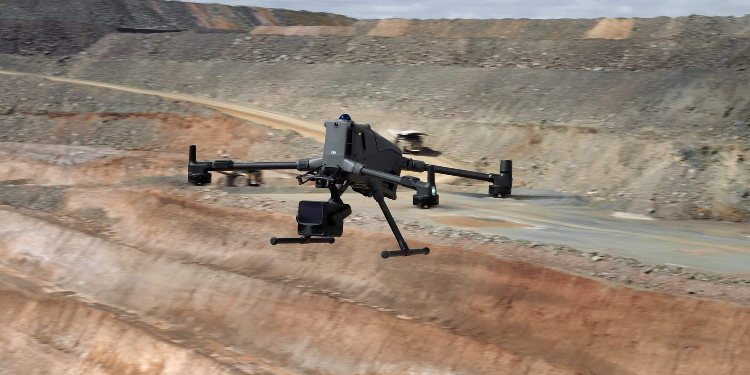
Discuss the task with the site manager before fixing a capture timetable. Agree access, a suitable operating position, changing plant activity and how the team will respond if conditions alter. A drone should not be presented as removing the need for quarry procedures or the professional judgement involved in inspecting hazardous features.
HSA treats stockpile operating procedures and inspection arrangements as important controls. [3] Equipment imagery can contribute observations within an agreed process; it is not a geotechnical assessment. If the brief is about stability or safety, the competent person should define what information is useful and what further inspection is required.
Separate volume, tonnage and reconciliation
A geometric volume and a mass estimate are different reporting items. If tonnage is required, identify the material information used for the conversion and who accepts it. Keep that conversion separate from the survey result so disagreement can be traced to geometry, classification, material properties or the reporting period.
For repeat work, record the capture time and material movements that may affect comparison with site records. A physical inventory snapshot and an operations ledger can describe different moments. The useful report explains that relationship rather than forcing the figures to match. Choose a review process in which survey and operations staff can investigate discrepancies together.
Adopt the workflow after a representative pilot
As a hypothetical trial, a quarry might choose a group of identifiable piles and a terrain section, agree the reference information and produce one complete report. The review would test the pile register, boundaries, base assumptions, independent observations and office import. It would also record any section that could not support the intended use.
Agree the follow-up before scaling: revise the brief, arrange supplementary survey, train the team or select a different route. Avoid declaring a universal percentage accuracy from one trial. The purchased equipment and dataset reviews are not a substitute for the quarry’s responsible surveyor, material records or specialist engineering assessment.
Questions before ordering a quarry package
Does a power version improve volume accuracy?
No. It adds field-power provision through compatible charging equipment.
Is LiDAR always necessary?
No. Test the surface and deliverable needed, then select the workflow.
What should we send?
Compare MQ-01, MQ-02 and MQ-03. Send Irish Drone the site and reporting brief, including your existing control, base information and intended reviewer.
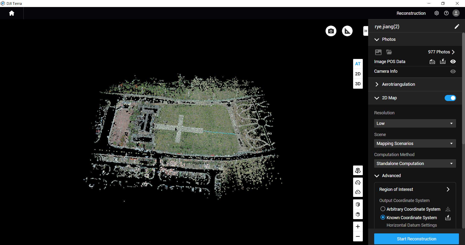
See the software workflow
The software image is a manufacturer workflow reference. Check the written licence edition and the supported aircraft, file type and project method before choosing a processing route.
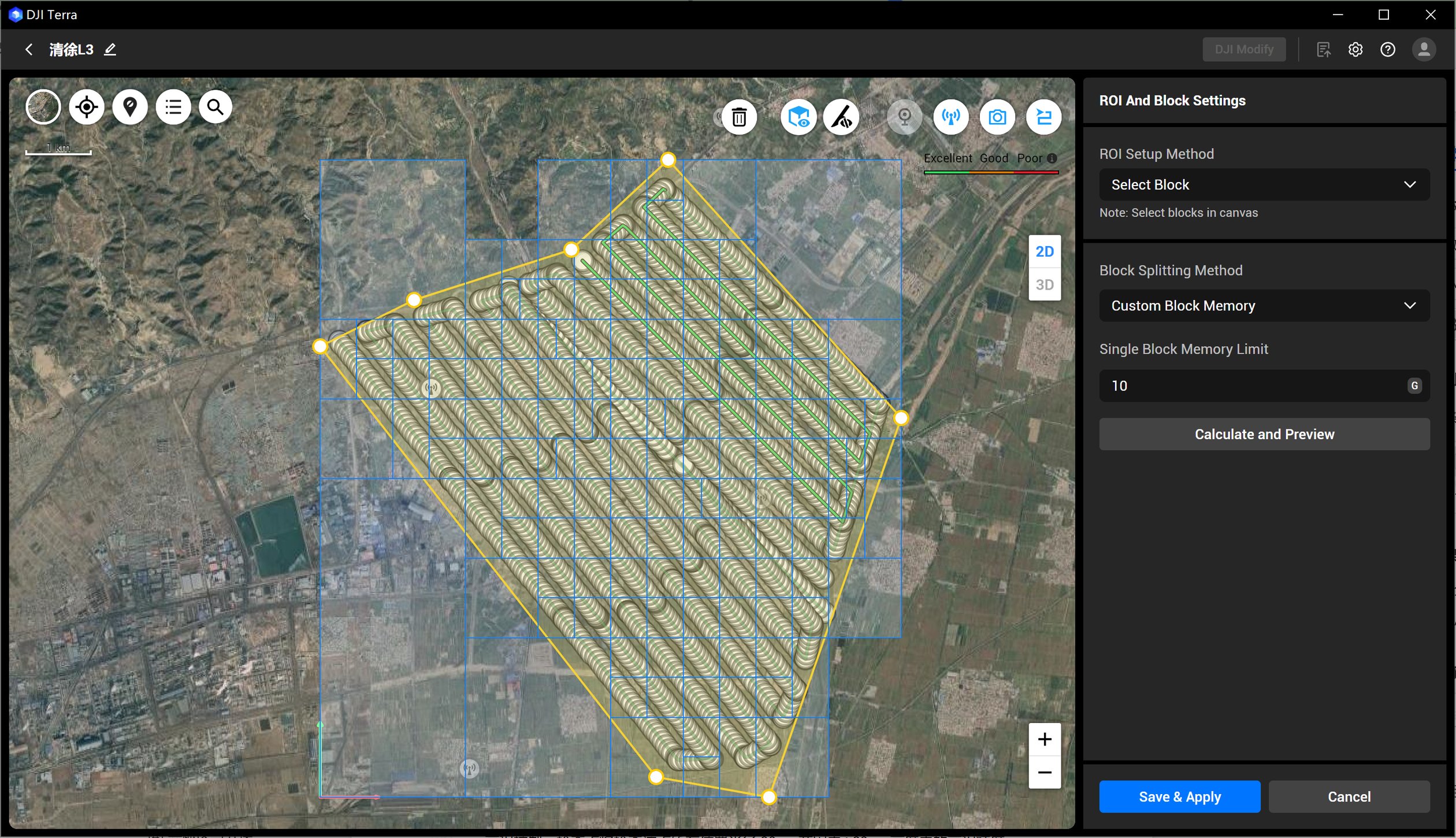
Compare the confirmed package configurations
| Package | Aircraft route | Flight batteries · total | Included processing licence | Field power |
|---|---|---|---|---|
| MQ-01 | Matrice 4E | 5 | DJI Terra Standard — 12-month licence; Matrice 4E / Matrice 4D data only | Not included |
| MQ-02 | Matrice 400 + P1 | 3 | DJI Terra Flagship — 12-month licence | Not included |
| MQ-03 | Matrice 400 + L3 | 3 | DJI Terra Flagship — 12-month licence | Not included |
| MQ-04 | Matrice 4E | 5 | DJI Terra Standard — 12-month licence; Matrice 4E / Matrice 4D data only | DJI Power 2000 |
| MQ-05 | Matrice 400 + P1 | 3 | DJI Terra Flagship — 12-month licence | DJI Power 2000 |
| MQ-06 | Matrice 400 + L3 | 3 | DJI Terra Flagship — 12-month licence | DJI Power 2000 |
Explore the equipment packages on Irish Drone
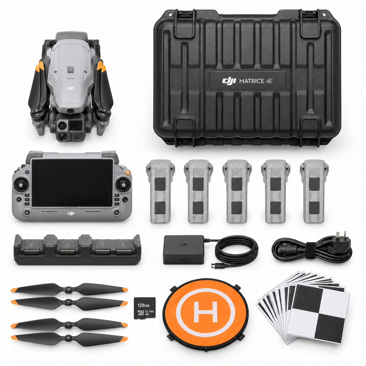
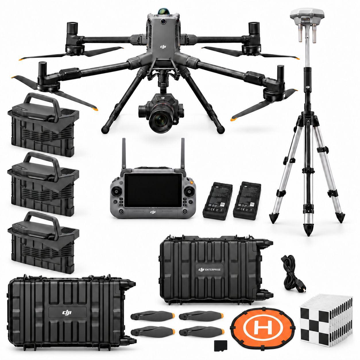


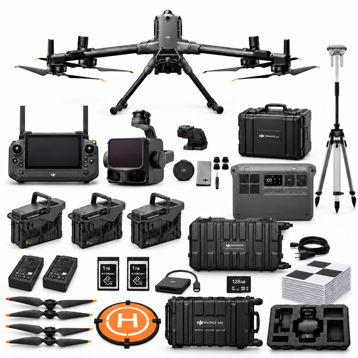
Package illustrations show the listed configurations. Battery quantities are whole-package totals.
Official manuals and setup guidance

Continue with the guide for your work
Documentation and evidence
Sources for the cited guidance
- Clemson stockpile measurement studyRead source ↗
Reviewed 3 November 2026.
- DJI M400 compatibilityRead source ↗
Reviewed 3 November 2026.
- HSA stockpiles and tipsRead source ↗
Reviewed 3 November 2026.





Pingback: P1 or L3 Quarry Terrain Workflow: M400 Pilot Guide
Pingback: Drone Stockpile Volumes: Base and Boundary Guide
Pingback: Repeat Quarry Drone Inventories and Reconciliation