
QUARRIES & AGGREGATES · STOCKPILE DEFINITION
The most useful buying discussion starts underneath and around the pile, not above it.
Evidence reviewed 3 November 2026 · Ireland
The practical answer
Agree the pile’s identity, calculation boundary and lower reference surface before collecting the upper surface. Preserve these choices with the result and test them on a representative pile. A new drone or denser model cannot establish an unknown buried base. Keep volume and any mass conversion separate so the report remains auditable.
Give the pile an identity that survives the survey
Ask the site team to identify the pile, material and reporting purpose before drawing any outline. Keep a location reference and an overview image with the pile register. If material from two sources meets at an unclear edge, agree how the reporting will treat that boundary rather than asking the processor to guess from the imagery.
This is a simple but important distinction: the survey team records geometry, while the site team may hold the material identity and operational history. Bring those records together before issuing a quantity. A perfectly reconstructed surface assigned to the wrong material or pile code is still an unusable inventory result.
Decide what the lower reference represents
The lower surface may be known from an earlier survey or may need a justified approximation. Ask who established it, when and for what purpose. Keep the selected method visible in the report. A flat reference can be convenient, but convenience is not evidence that the underlying site has that shape.
If the lower surface is uncertain, treat that as a measurement limitation. Consider whether an earlier record, an accessible reference area or a future low-inventory survey can improve it. Do not describe a software-generated base as a direct observation of material hidden beneath the pile. The decision should be agreed by the responsible survey lead and the person relying on the quantity.
Make the calculation boundary reviewable
Store the boundary used for the calculation and identify who approved it. Check how it handles adjacent piles, retaining structures and areas where the pile merges into surrounding ground. Do not assume that a tightly drawn outline is necessarily the correct commercial or operational boundary.
Have a second reviewer examine a representative boundary before routine production begins. Ask them to explain the chosen edge using the same site record. If two informed people draw materially different limits, resolve the definition rather than averaging the resulting quantities. Keeping the boundary decision makes a later disagreement easier to investigate than a report containing only one final number.
Capture the surfaces the calculation depends on
Prepare the acquisition around the pile’s actual geometry and the approved operating plan. Ask the processing lead to identify the coverage required to describe the upper surface and its edges. Record areas that remain uncertain, obstructed or unsuitable for measurement. A complete-looking model can still contain assumptions that matter to the result.
Use the pilot to test the route from original observations to the accepted surface. Tailor capture settings to the site and test whether the planned combination of capture, processing and checking can support this particular pile and the decision attached to it.
Use research as a reason to validate, not a promised percentage
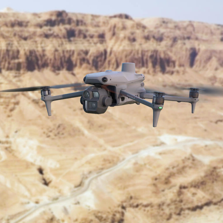
Published stockpile experiments compare UAV-derived quantities with independent references. [1] Those comparisons belong to their own equipment, sites and methods. They should not be presented as a fixed accuracy allowance for an M4E, P1 or L3 package used elsewhere.
Define your own acceptance exercise with the survey lead. Include the reference method and its limitations, not only the drone result. If the two disagree, investigate their boundaries, base, timing and observations. Agreement is meaningful when the methods describe the same object on a common basis; it is not established simply by selecting whichever figure looks more plausible.
Show which assumptions affect the answer
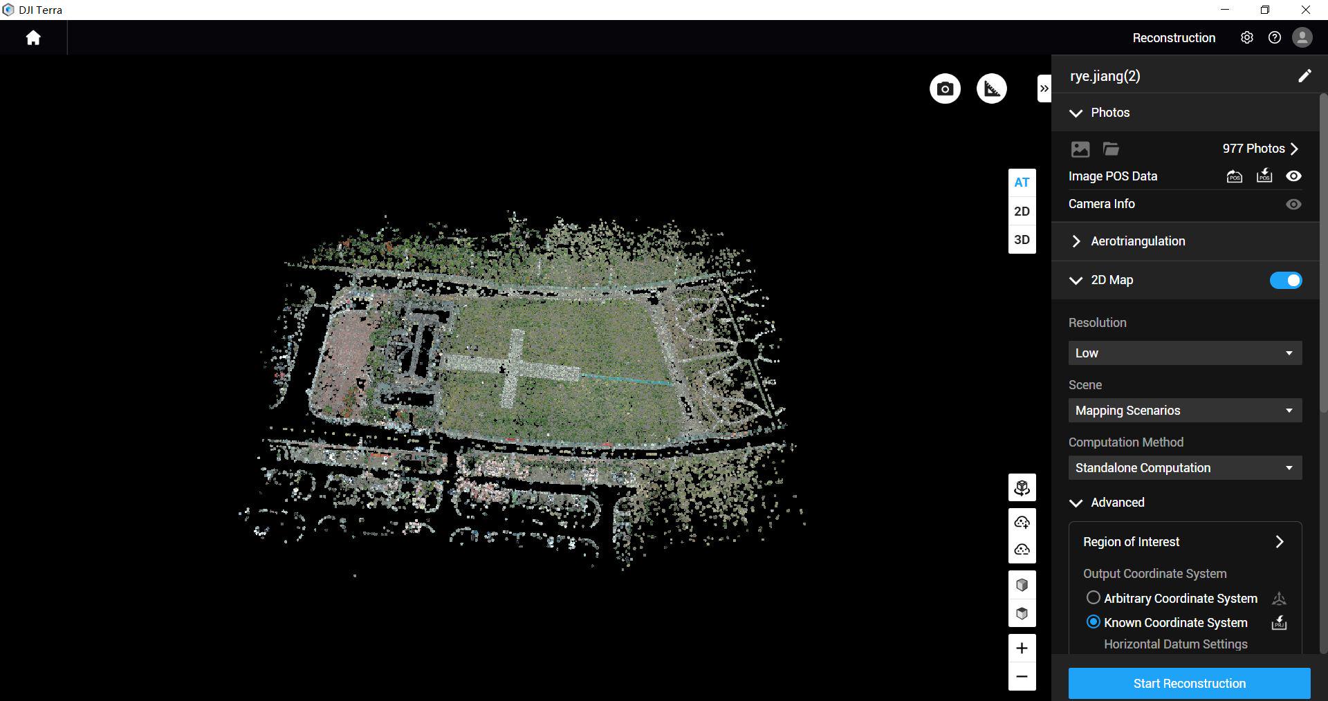
Ask the reviewer to distinguish uncertain surface observations from uncertain boundary and base choices. Where useful, compare reasonable alternative assumptions and explain how they change the result. The responsible surveyor should decide how that sensitivity is reported.
Do not hide uncertainty by rounding the final quantity more precisely. A long decimal value can suggest confidence that the evidence does not support. Agree a reporting convention appropriate to the decision and explain when additional information would change acceptance. The report should help the recipient understand the limitations, not transfer an unexplained numerical risk to them.
Keep the mass conversion outside the geometric claim
Where a mass estimate is required, record the material information and method used for conversion, together with who supplies it. Do not let a default factor become an undocumented assumption that persists across changing materials. Keep the geometric volume available separately so a later revision does not require reconstructing the entire survey history.
A discrepancy with a weighbridge or stock ledger needs a joint review. Confirm that the periods, pile identities and conversion basis are comparable. The drone report does not independently certify material properties or replace site records. Make those responsibilities clear when the output is introduced to procurement, production or finance colleagues.
Use one well-defined pile to test the purchase
A hypothetical procurement trial might choose an accessible, identifiable pile with a documented base and an agreed independent comparison. The team would retain the original observations, accepted upper surface, calculation boundary and a short explanation of exclusions. Another reviewer would reproduce the reported calculation from those records.
That trial tests the complete workflow. It can expose missing site information, an unsuitable base assumption or a reporting step that depends on one person’s memory. Resolve those issues before expanding the programme. The right package is the one that supports a controlled, reviewable process for the surfaces you need to measure.
Questions for the stockpile brief
Can the drone measure the buried base?
Do not assume it can. Establish or justify the lower reference independently.
Can one successful pile prove every future result?
No. Apply the documented method to the actual geometry and evidence each time.
Which packages should we compare?
Start with MQ-01 and MQ-02. Discuss the pile and reference information with Irish Drone, including any need for a Power 2000 version.
Explore the equipment packages on Irish Drone
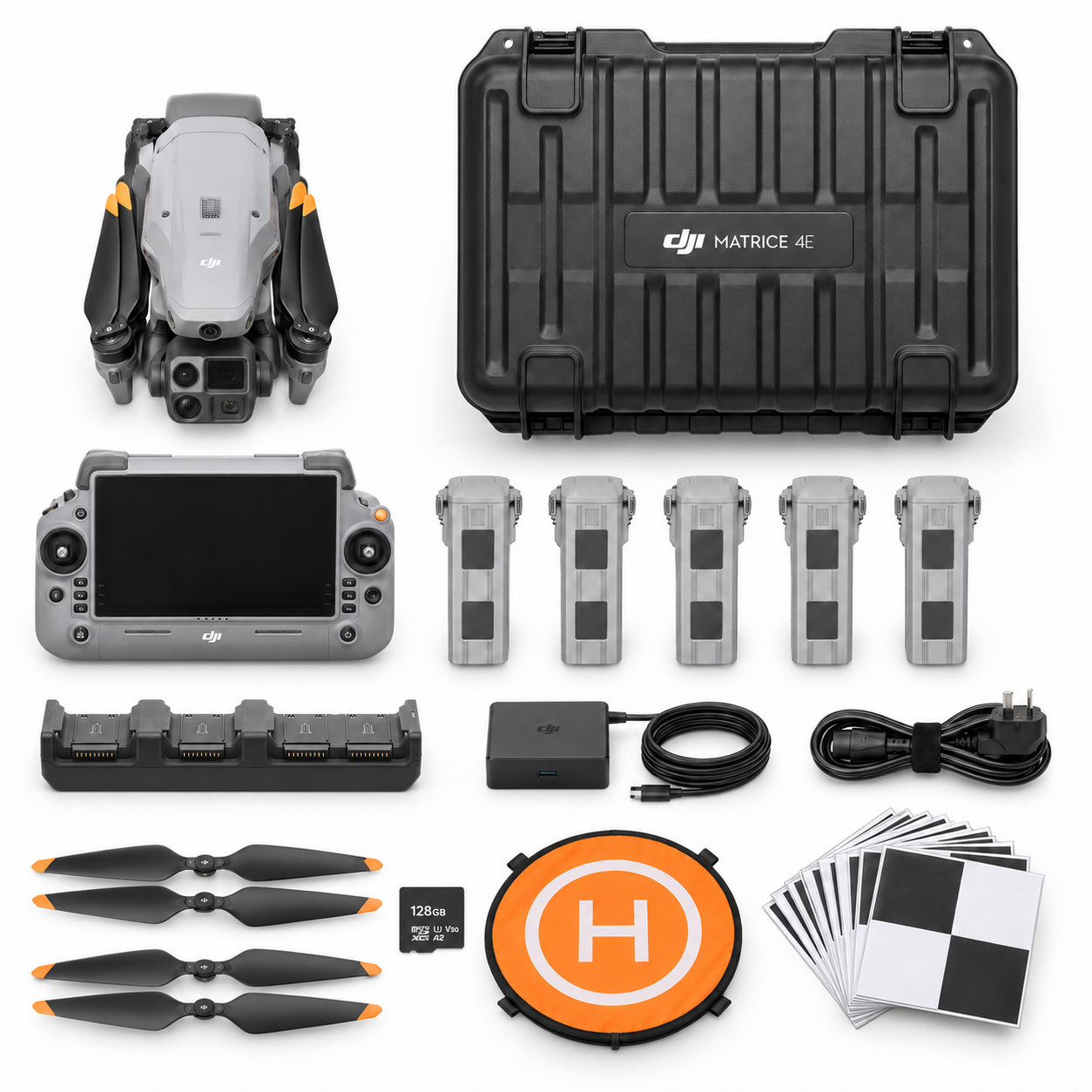
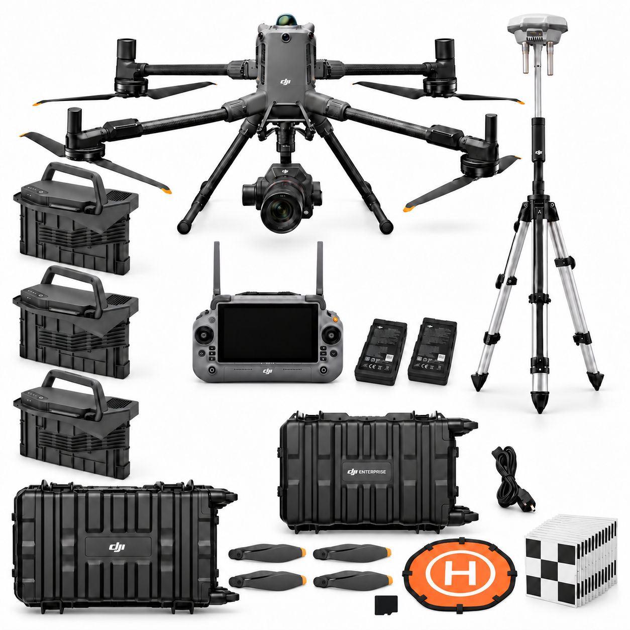


Package illustrations show the listed configurations. Battery quantities are whole-package totals.
Official manuals and setup guidance

Continue with the guide for your work
Documentation and evidence
Sources for the cited guidance
- ISPRS stockpile comparisonRead source ↗
Reviewed 3 November 2026.




Pingback: P1 or L3 Quarry Terrain Workflow: M400 Pilot Guide
Pingback: Repeat Quarry Drone Inventories and Reconciliation
Pingback: Quarry Drone Packages Ireland: M4E, P1 or L3