
QUARRIES & AGGREGATES · REPEAT INVENTORY
A repeat programme needs a shared record of what changed, when and on which measurement basis.
Evidence reviewed 3 November 2026 · Ireland
The practical answer
Keep a stable reference, explicit pile identities and a documented capture cut-off. Preserve the base and boundary decisions for each period and explain revisions. Compare physical snapshots with operational records on matching time and material definitions. Do not interpret every difference between two models as a proven movement of saleable material.
Define the reporting period and physical snapshot
Begin with the time the survey describes, not the date printed on the final report. A quarry can continue moving material between capture and office delivery. Agree the cut-off and record any activity that affects comparison with the site’s stock ledger. Otherwise two valid records may appear inconsistent because they describe different moments.
Assign a person to reconcile the capture record with operations. This establishes which movements belong inside the comparison and which need separate explanation. Keep the original snapshot available even if a later reconciliation produces a different operational estimate.
Maintain a pile register, not just a set of polygons
Give each reported pile an identity and record splits, merges or material changes. A polygon reused from the previous period may no longer describe the same inventory item. Make the operations team responsible for confirming those changes before quantities are aggregated. Keep the spatial record and material register connected.
When a pile is renamed, preserve its history rather than overwriting the earlier identity. Document how the comparison will treat material transferred between piles. A difference map may show a physical change, but the business interpretation depends on those records. This distinction becomes especially useful when several people prepare reports across different sites or reporting periods.
Keep the reference stable and investigate changes
Retain the reference system, height basis and control records with each survey. If the reference changes, document the reason and the procedure used to compare the datasets. SCSI treats grid and datum as explicit survey choices. [1] An unexplained shift should not be dismissed as ordinary site change.
Ask the survey lead to review representative stable features before interpreting differences in active areas. Keep observations that support that comparison separate from adjustments made during processing. If a dataset cannot be placed on a defensible common basis, restrict the conclusions rather than presenting a precise-looking movement total.
Record changes to bases and boundaries
A revised base can change a volume even when the visible pile has not moved. Keep the version of the base and boundary used for each period, and explain whether a reported difference includes a methodological change. Where a better reference becomes available, decide whether earlier quantities should be restated or retained with a clear limitation.
A retrospective correction is easier to explain when the original calculation is recoverable. Preserve the earlier result and the reason for revision. Give the recipient both the physical-survey conclusion and the effect of the changed assumption where these can be separated. Do not make an older report silently disappear from the record.
Standardise the procedure without ignoring the site
Use a capture brief and checklist that operators can repeat, but allow them to record why a task was changed or not completed. Site access, activity and visibility can differ between visits. A repeated route is helpful only when the retained observations still support the intended comparison.
Keep a clear exception path. The operator should know who decides whether a missing area needs a revisit, a supplementary observation or a more limited report. Avoid rewarding completion of a schedule at the expense of useful evidence. A documented postponed or restricted survey can be more reliable than a routine report issued without adequate review.

Review discrepancies with the right people
Bring survey and operations staff together when quantities disagree. Check the pile identity, reporting time, geometry, reference assumptions and any material conversion used. Independent research shows that different stockpile measurement approaches need careful comparison. [2] Do not borrow a study’s percentage as a universal tolerance for your own reconciliation.
Classify the discrepancy before deciding what action is useful. It may reflect actual movement, a reporting mismatch, a change in material assumptions or inadequate geometric evidence. Record what is known and what remains unresolved. A report should support investigation rather than make a stronger conclusion merely because it includes a three-dimensional visualisation.
Create an audit trail another reviewer can follow
Retain the accepted surface, pile register, calculation basis and a concise change note with each issue. Identify the reviewer and distinguish a draft for discussion from a final accepted report. Use version names that make it difficult to confuse different dates or revisions when files are passed between departments.
Test the record by asking a colleague who was not on site to explain one quantity. Can they locate the pile, identify the reference, understand exclusions and reproduce the accepted calculation? If not, improve the handover before scaling the programme. The aim is useful continuity across staff changes, not a large archive that nobody can interpret.
Choose equipment around a repeatable reporting cycle
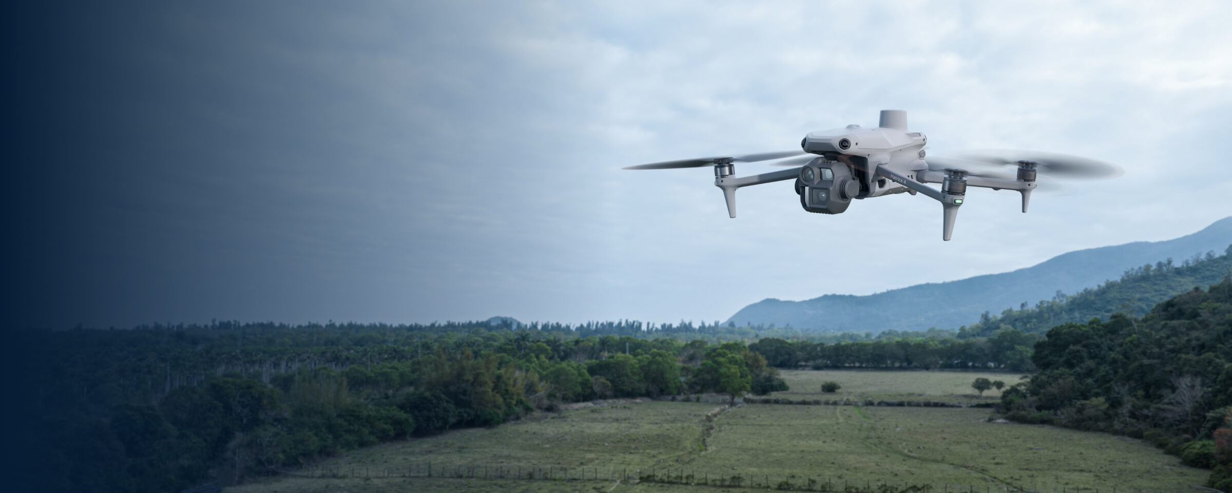
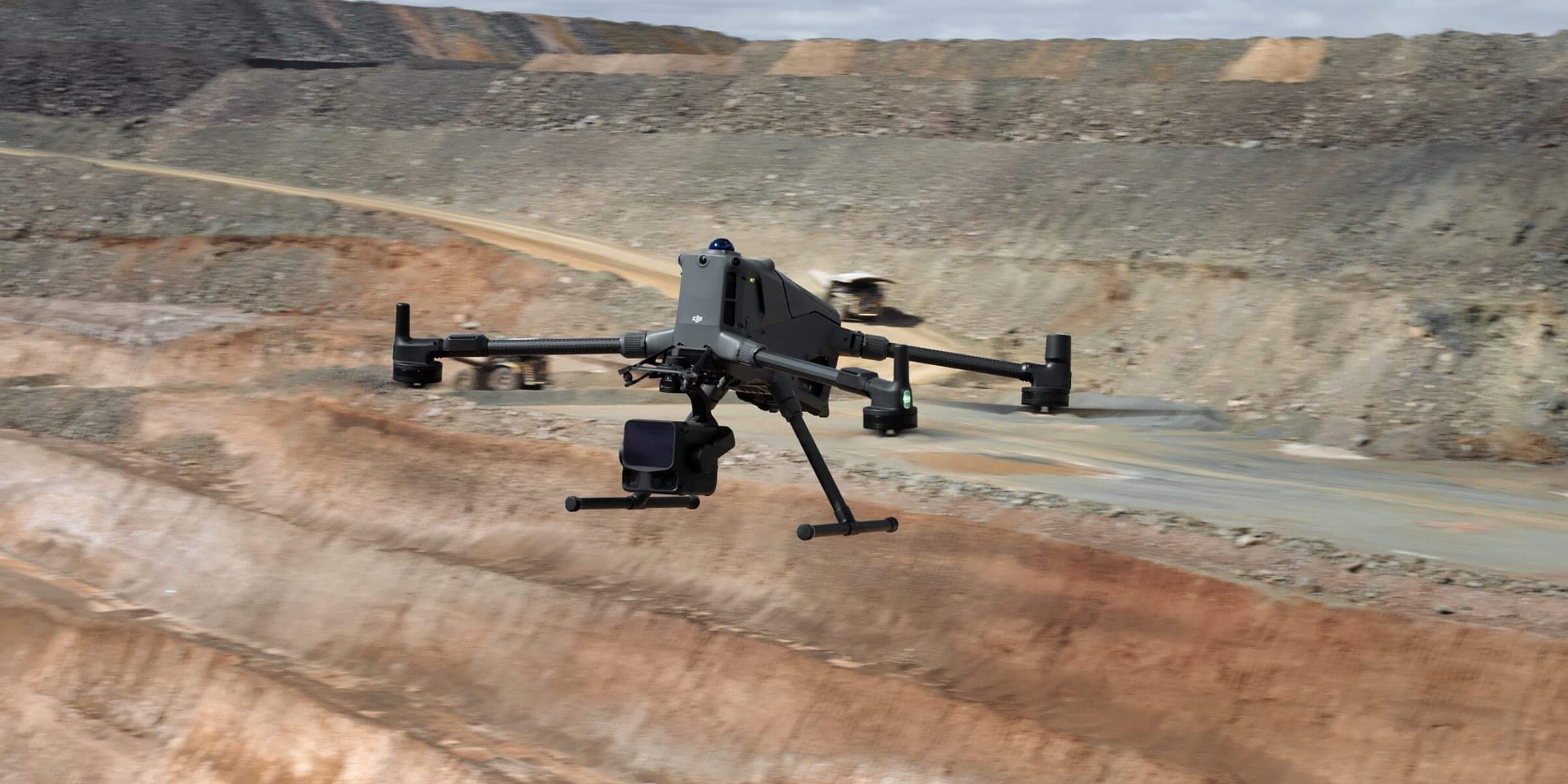
The approved routes are M4E, M400/P1 and M400/L3, each with a corresponding Power 2000 product. Select the route that can produce and validate the required surfaces within your actual reporting process. Compare the supplied configurations under a common measurement and acceptance brief.
Plan the office capacity as carefully as the capture. Agree processing, review and issue responsibilities, together with how exceptional surveys are handled. The package’s training and dataset-review allowances can support the supplied workflow, but they do not automatically provide ongoing inventory management, material testing or professional certification for every reporting period.
Questions for a repeat-inventory programme
Should every survey use identical settings?
Use a documented procedure, but record justified changes when site conditions require them.
Can a change map replace stock records?
No. It is one source of evidence to reconcile with identities, timing and operations.
What is a sensible first step?
Compare one reporting cycle using MQ-01 or a broader route such as MQ-02. Send Irish Drone the intended reporting workflow and identify who will accept it.
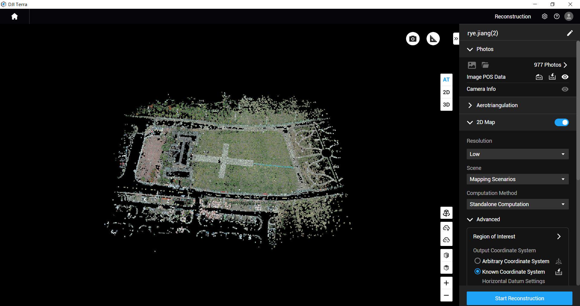
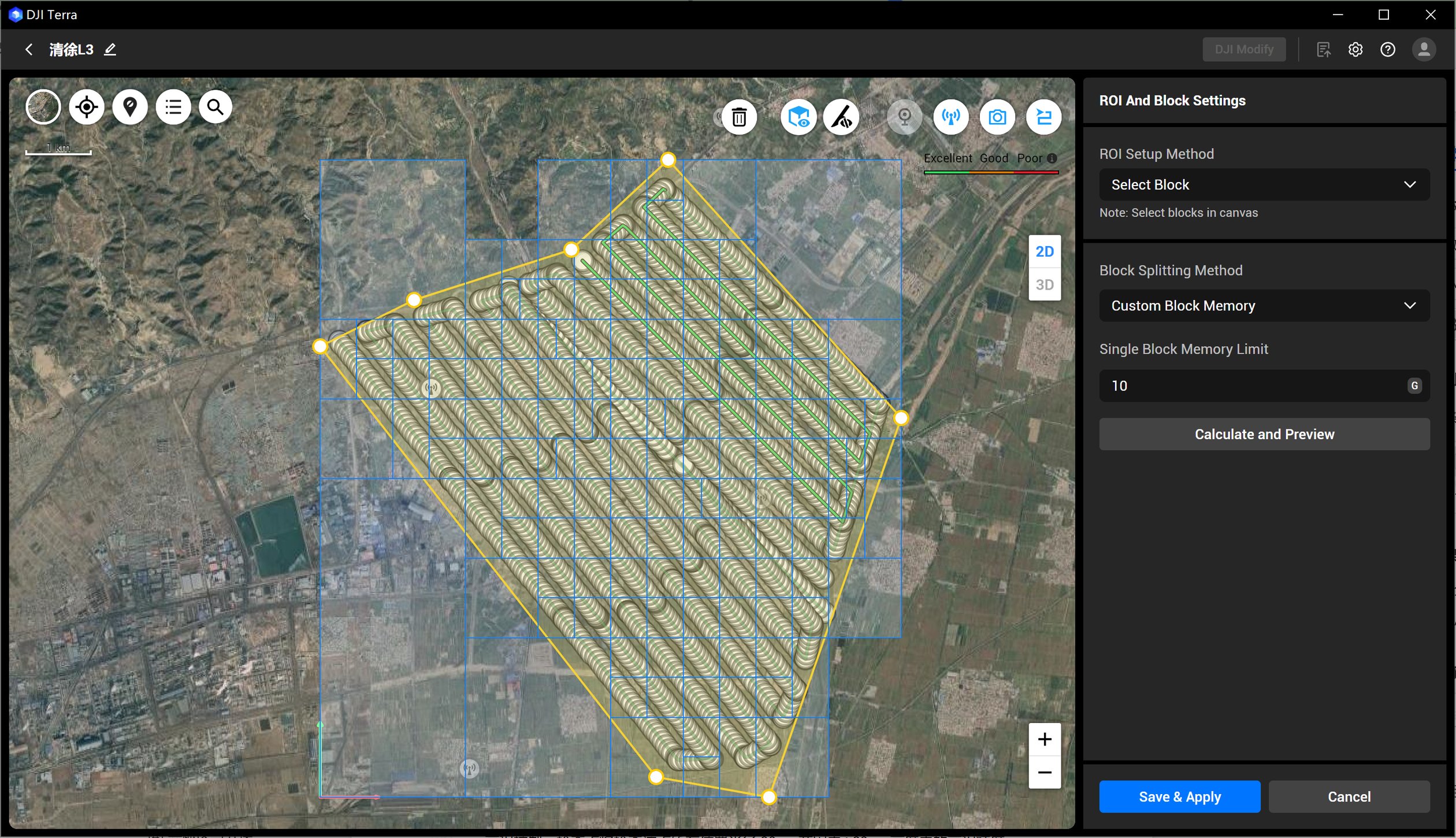
See the software workflow
The software image is a manufacturer workflow reference. Check the written licence edition and the supported aircraft, file type and project method before choosing a processing route.
Explore the equipment packages on Irish Drone
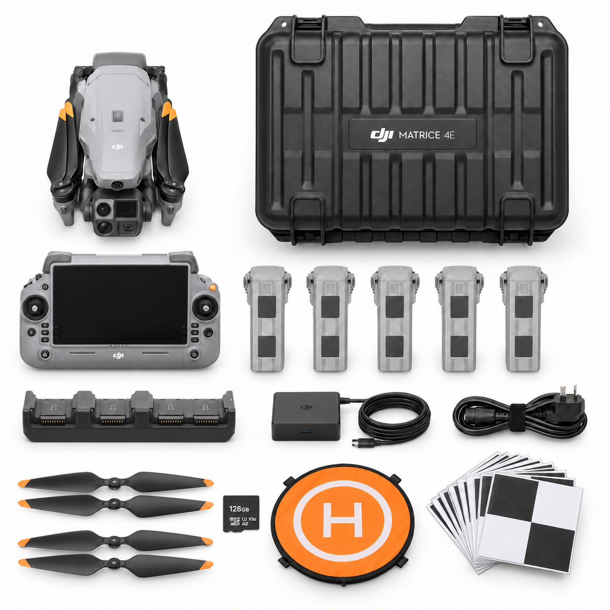
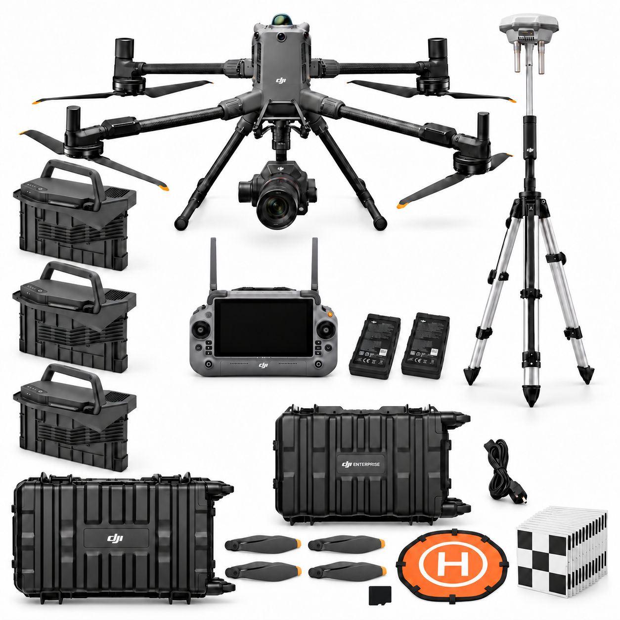


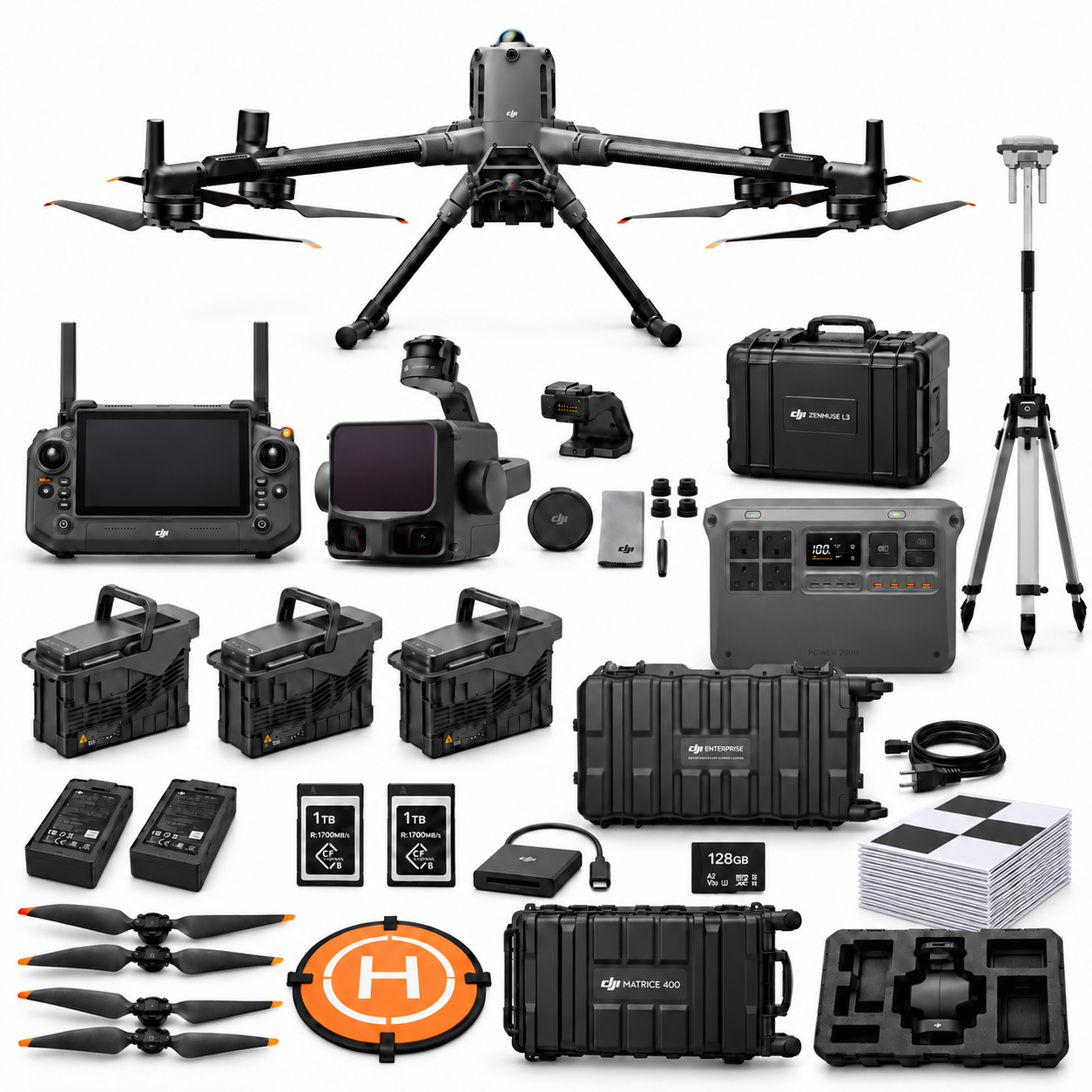
Package illustrations show the listed configurations. Battery quantities are whole-package totals.
Official manuals and setup guidance

Continue with the guide for your work
Documentation and evidence
Sources for the cited guidance
- SCSI measured surveys of landRead source ↗
Reviewed 3 November 2026.
- Clemson stockpile measurement studyRead source ↗
Reviewed 3 November 2026.




Pingback: P1 or L3 Quarry Terrain Workflow: M400 Pilot Guide
Pingback: Quarry Drone Packages Ireland: M4E, P1 or L3
Pingback: Drone Stockpile Volumes: Base and Boundary Guide