

INDUSTRIAL INSPECTION · TELECOM TOWER RECORDS
Plan faces, levels and identifiers, then hand over a visual inventory with clear exceptions and site coordination responsibilities.
Evidence reviewed 3 November 2026 · Ireland
The practical answer
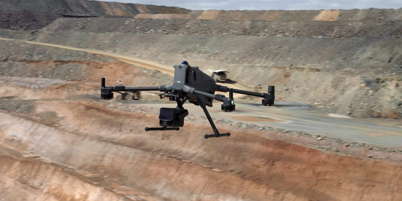
For a telecom tower, specify components, faces and identification evidence before choosing a route. M4E packages support a visible-record workflow; the accepted output should connect each observation to the correct structure and a reviewable original photograph.
Decide what the tower record must answer
A tower owner may need an inventory update, evidence for a planned change, a record of visible condition or photographs for specialist review. Those are different assignments. Begin with the question and the existing asset schedule so the capture team knows what must be identified and what can remain contextual.
Ask the receiving team to provide sample records that already work in its maintenance or design process. Check whether it expects component codes, elevations, orientations, mounting positions or links to drawings. Agree the point at which a visual observation will be escalated for engineering assessment instead of being treated as a completed finding.
Make the tower and component identifiers unambiguous
Create one naming convention for the site, structure and components. Show the tower location on a plan and establish the orientation convention before taking details. If a customer uses sector names, explain those names to the capture team rather than assuming they match the pilot’s view from the ground.
Use overview photographs to connect close details back to the structure. A readable label without mounting context can still be ambiguous. Where an existing inventory is uncertain, mark the observation as an identification question for the owner. Keep the original inventory and proposed update as separate versions until the owner accepts the change.
Plan coverage by faces and levels
Build a coverage sheet around the relevant faces and vertical zones. Identify the connections, brackets, cable routes, platforms or other components specified in the brief. Agree how an obscured area will be reported. The flight route should serve that sheet rather than producing an impressive orbit with uncertain coverage.
Ask the reviewer to define the detail needed for each target. Identification, general condition and a proposed measurement may require different evidence. Capture a representative section first and review it while recapture remains practical. If the required detail cannot be obtained within the approved operating plan, change the method or record the limitation.
Coordinate with the network and site controller
HSA identifies workplace electromagnetic-field risk assessment as an employer duty. [1] Obtain the network operator’s site instructions, access arrangements and nominated technical contact before mobilisation. Let that responsible team determine the applicable exposure and operating controls.
Agree who authorises the activity, how the pilot communicates with the site and which changes require the flight to stop. Consider maintenance crews, shared-site operators, access roads and public areas in the coordination discussion. Aerial photography does not measure radio performance; RF testing needs its own competent provider, equipment and deliverable.
Deliver photographs another team can navigate
Supply an index with the site, tower, component, view direction and original image reference. Include the agreed overview photographs alongside details. Mark uncertain identifications explicitly and give the customer a separate list of unobserved components. Explain whether the index covers the whole brief or a released portion of it.
Use consistent observation language and keep engineering judgement with the appointed reviewer. The owner’s specialist can classify the significance of corrosion, a connection or an installation detail after reviewing the evidence. Link that decision to the observation so a subsequent visit can locate the same component and understand why it was selected.
Specify measured outputs separately
If the commission includes dimensions or a spatial model, ask the survey professional to state the control, checks and acceptance method appropriate to that deliverable. A navigable visual model and an accepted measured survey serve different purposes. Agree how inaccessible areas and uncertain geometry will appear in the handover.
For an inventory-only assignment, a disciplined image register may be the more useful product. Trial the files with the team that will use them: can someone find a component without phoning the pilot, and can they trace an inventory update to its photograph? Use that answer to decide whether additional processing adds value.
The approved visible-record packages
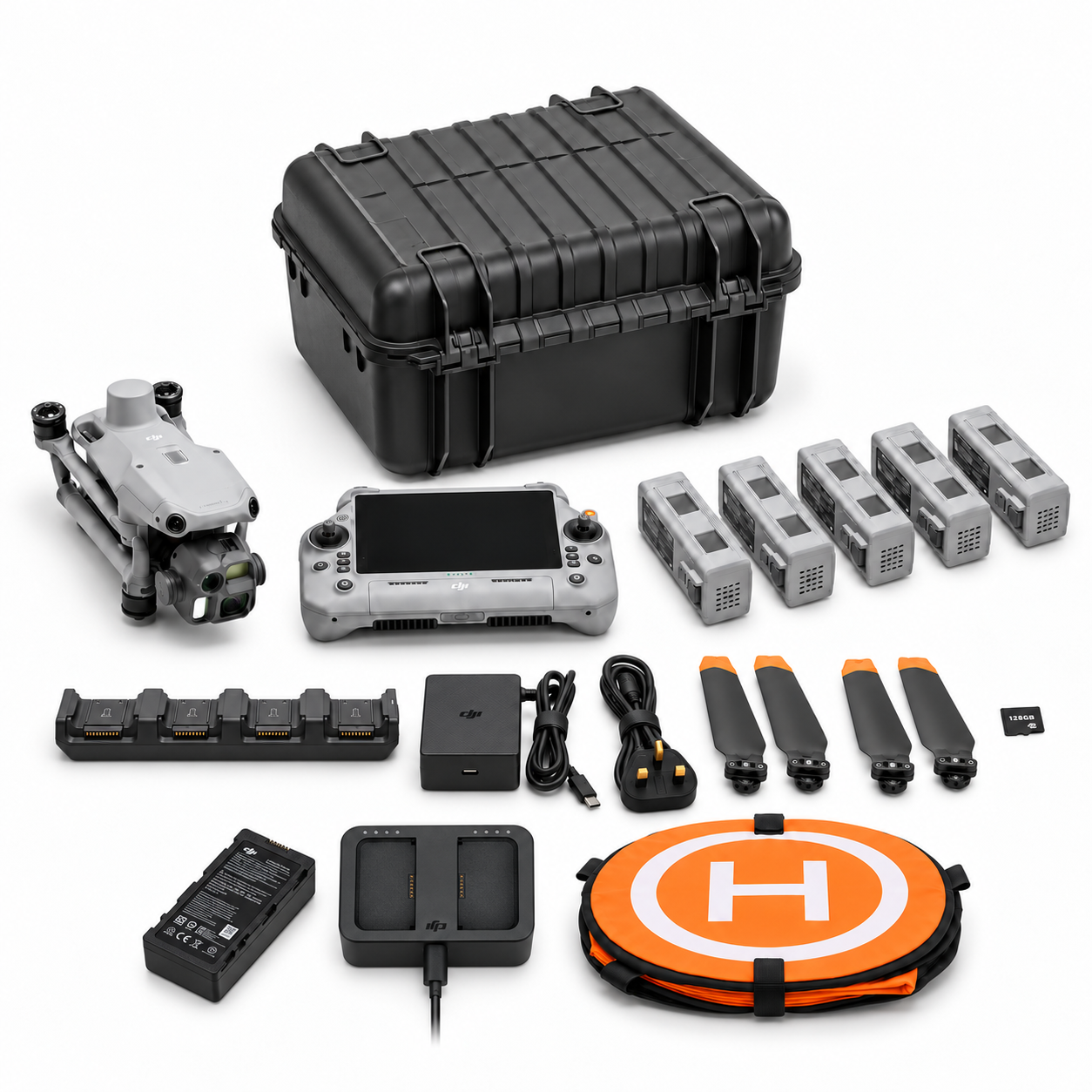
IN-03 provides M4E, five flight batteries in total, a WB37 controller battery with USB-C charging hub and a one-year Terra Standard licence restricted to M4E/M4D data. Training, support and two dataset reviews are included. IN-06 adds Power 2000 to the charging plan.
Ask for the training exercise to use a representative tower register and an agreed handover structure. Decide who maintains the template after handover and where originals will be kept. The portable power decision can follow once mobilisation and charging arrangements are understood; it does not change the sensor or professional scope.

Test an inventory change before accepting the whole register
Use a hypothetical inventory discrepancy as the acceptance exercise. Ask a reviewer to identify one antenna or bracket from the delivered overview, then open its detail image and proposed register entry. They should see what has changed, which photograph supports the update and who must approve it.
Repeat the exercise with an obscured component. The record should lead to an unresolved question with an owner, rather than a guessed replacement entry. This tests both successful coverage and a difficult case. Keep the accepted example with the project instructions so the next team applies the same naming and review conventions.
Questions for the quotation
Does this include thermal inspection? M4E is the visible-record route. Discuss an appropriate thermal configuration and reviewer if a thermal question is material. Can every component be confirmed? Agree an exception process for obscured or uncertain items.
Send Irish Drone the tower type, sample inventory, required views, site instructions and desired handover. Compare training and review against those needs. For a wider visit, use the facility campaign guide; for thermal observations, follow the thermal-record workflow.
See the software workflow
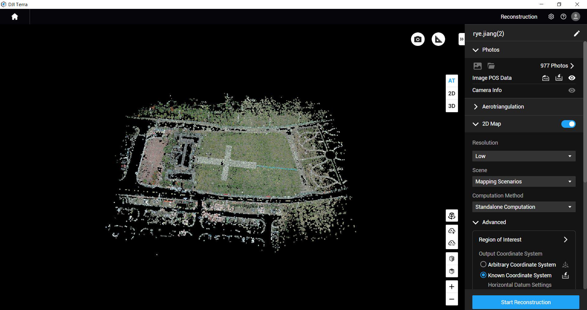
The software image is a manufacturer workflow reference. Check the written licence edition and the supported aircraft, file type and project method before choosing a processing route.
Explore the equipment packages on Irish Drone
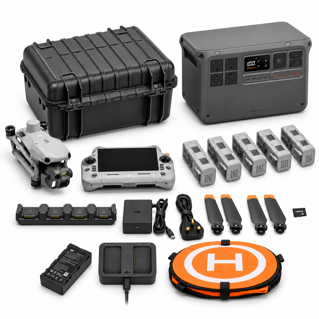
Package illustrations show the listed configurations. Battery quantities are whole-package totals.
Official manuals and setup guidance

Continue with the guide for your work

Documentation and evidence
Sources for the cited guidance
- HSA: Electromagnetic fieldsRead source ↗
Reviewed 3 November 2026.
Compare equipment packages
Explore Industrial & Telecom Assets drone packages →
To discuss equipment for telecom tower records, contact Irish Drone with the tower identifiers, coverage brief and asset-register requirements.





Pingback: Industrial Thermal Records: Evidence a Reviewer Can Use
Pingback: Choosing an Industrial Inspection Drone Around the Asset Decision