

COASTAL & MARINE · REPEAT SURVEY WORKFLOW
A credible comparison begins with the feature you intend to measure, not with two images placed side by side.
Evidence reviewed 3 November 2026 · Ireland
The practical answer
For repeat shoreline work with MI-01, agree the shoreline indicator, reference system, timing context and check method before capture. Keep the original data and uncertainty record for each visit. Compare like with like, and let the responsible coastal specialist decide whether an apparent difference supports a meaningful change conclusion.
Define which shoreline feature you will compare
Ask the coastal reviewer what the project means by shoreline. It might use an agreed visible indicator or a feature derived through a specified survey method. Record that definition in the brief and keep it with every delivery. Two teams can draw different lines from the same scene if the intended indicator is left open.
USGS research distinguishes shoreline definitions and their associated uncertainty. [1] Use that principle to frame a consistent project method. The research is not an accuracy benchmark for MI-01. The practical aim is for each visit to describe the same type of feature in a way the reviewer can explain.
Plan the window and retain the actual context
Work with the operator and coastal specialist to choose a suitable capture window for the agreed purpose. Record the planned conditions, then retain the actual capture time and relevant observations. Keep the source and reference of any water-level information so a later analyst can understand how it was used.
Marine Institute predictions do not include weather-driven storm surge. [2] Treat prediction and observation as different information. If a visit occurs under a materially different context from the baseline, record that openly. The specialist can then decide whether to compare it, qualify it or wait for a more suitable repeat.
Keep the reference and check method consistent
State the coordinate system, height basis, units and independent check approach with the receiving survey professional. Identify any existing control or reference information the project can legitimately use, and have its suitability confirmed. MI-01 does not list a D-RTK 3 station, so the method should reflect the equipment and reference arrangements actually agreed.
For repeated work, retain the check evidence for each date. A comparison should be assessed against its uncertainty, rather than treating every visible offset as genuine coastal movement. If the team changes its processing or reference method, preserve the previous version and document how continuity was assessed.
Agree a stable extent and record gaps
Prepare a simple coverage plan with section identifiers and agreed limits. Include areas the reviewer needs to see consistently, such as an asset frontage or a particular exposed coastal section. Retain the relationship between section names, source files and the final outputs.
Mark incomplete, obscured or unsuitable areas in the delivery. An explicit gap allows a reviewer to narrow a comparison responsibly. It is better than allowing an apparently complete mosaic to conceal an uneven evidence base. Keep the coverage plan under version control, so expansion of the project is distinguishable from physical change within the original extent.

Test the processing route with a representative sample
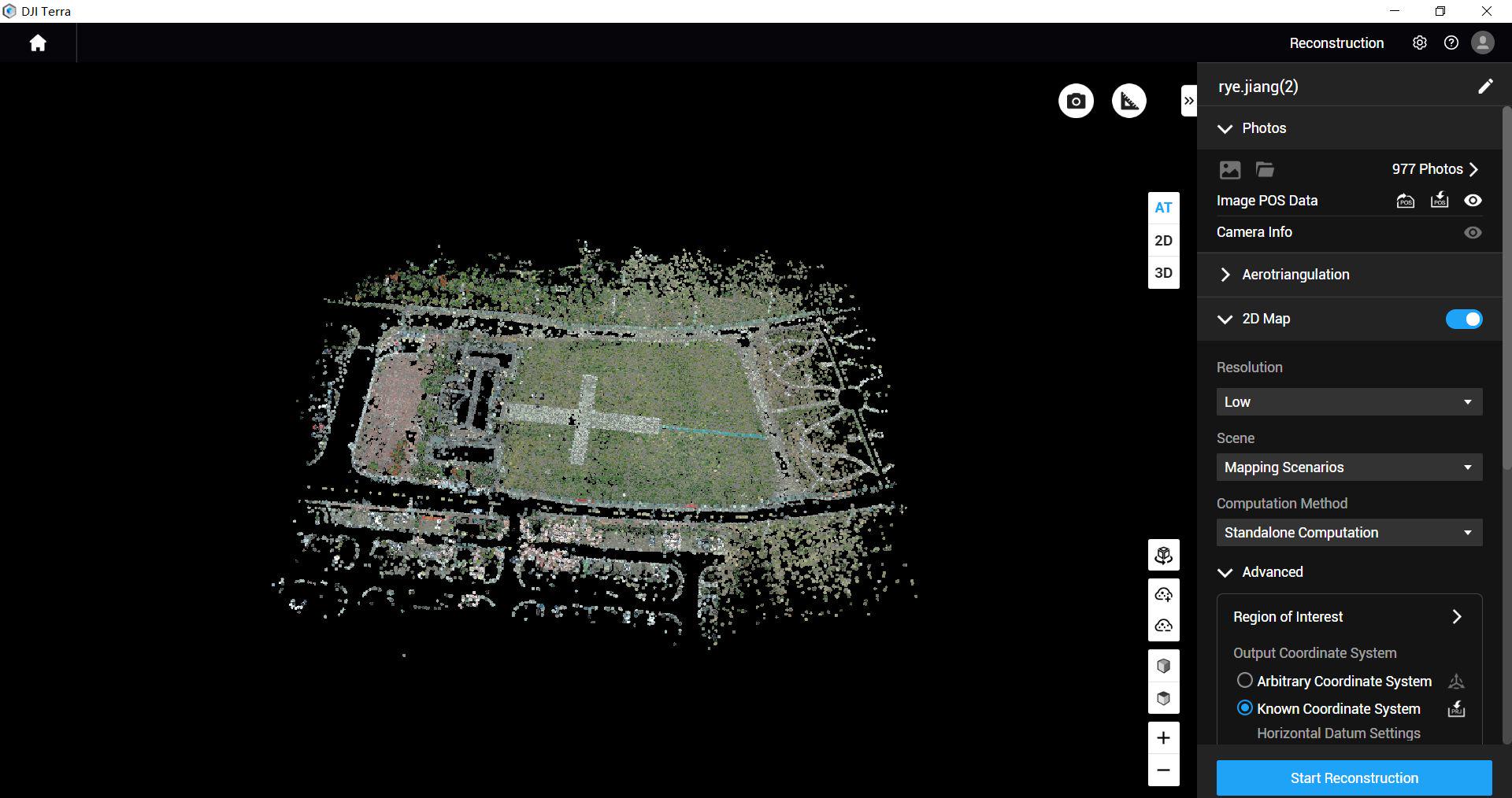
MI-01 includes a twelve-month manufacturer-supplied Terra Standard entitlement for M4E/M4D data. Ask the team to demonstrate the intended M4E processing and export on a small sample. Check that the receiving analyst can open the files and identify the reference, capture date and quality information.
Keep the processing settings and software version in the project record where relevant to reproducibility. Separate source files from report illustrations. An annotated comparison image can help a meeting, but the analyst should still be able to return to the underlying data and understand how the displayed feature or surface was produced.
Use a comparison record that shows what changed
| Comparison field | What to retain |
|---|---|
| Feature | Indicator definition and section identifier |
| Time and context | Capture time and relevant water-level information |
| Reference | Coordinate/height basis and check evidence |
| Interpretation | Observed difference, uncertainty and reviewer decision |
Let the specialist choose the analysis appropriate to the purpose and evidence. A single date pair may support a targeted follow-up rather than a long-term erosion rate. Keep those distinctions in the report so the next decision matches what the data can establish.
Prove a repeat before expanding the programme
An illustrative pilot could use one agreed land-based section and two suitable visits. Before capture, the team fixes the feature definition, coverage and handover. After the second visit, the analyst tests whether the dates can be compared using the agreed reference and context.
Review the time spent reconciling filenames, missing fields and inconsistent outputs. These are useful procurement findings because they reveal what the team will face every time it repeats the work. Resolve the workflow before increasing the length or frequency of the programme. A small accepted comparison can become the practical template for later coastal monitoring.
Questions about shoreline comparisons
Does a visible waterline shift prove erosion?
Its meaning depends on the defined feature, capture context and uncertainty. Ask the coastal specialist to interpret the difference.
Is a low-tide prediction enough to make two dates comparable?
No. Keep the actual capture context and agreed reference alongside the prediction, then assess the comparison as a dataset.
Can MI-01 measure submerged terrain as supplied?
The package is for land-based coastal capture. Specify a separate specialist method if the project requires bathymetry or underwater features.
How often should the team return?
Set frequency from the monitoring question, access, conditions and the reviewer’s needs. The equipment list does not establish a universal interval.
Specify the first comparison when discussing MI-01
MI-01 Coastal Asset Survey combines M4E, five total batteries, Power 2000 and the scoped Standard licence. Use the supplied workflow training and dataset-quality review to address the capture-to-handover process agreed for your project.
Bring Irish Drone a sample extent, intended shoreline definition and receiving format. Identify the survey or coastal professional who will accept the comparison. For an asset-focused photographic record rather than shoreline measurement, see the coastal asset handover guide; for an initial equipment comparison, return to the selection guide.
Explore the equipment packages on Irish Drone
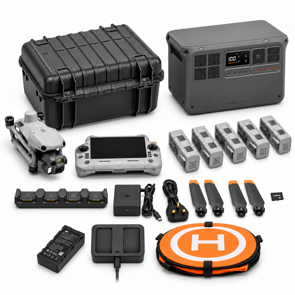
Package illustrations show the listed configurations. Battery quantities are whole-package totals.
Official manuals and setup guidance

Continue with the guide for your work

Documentation and evidence
Sources for the cited guidance
- Linking Proxy-Based and Datum-Based Shorelines on a High-Energy CoastlineRead source ↗
Reviewed 3 November 2026.
- Marine Institute: Tidal PredictionsRead source ↗
Reviewed 3 November 2026.
Compare equipment packages
Explore Coastal & Marine Operations drone packages →
To discuss equipment for repeat shoreline surveys, contact Irish Drone with the feature, reference system and repeat-visit requirements.





Pingback: Coastal Asset Drone Records: Inspection Handover Guide
Pingback: Coastal Drone Team Exercise: M4TD Readiness and Handover
Pingback: Coastal Drone Packages Ireland: M4E or M4TD Workflow