
ENVIRONMENT & HABITATS · ECOLOGICAL DATA HANDOVER
Agree the files, field references, uncertainty notes and review responsibilities that turn a habitat-imaging delivery into a usable project record.
Evidence reviewed 3 November 2026 · Ireland
The practical answer
Start with the ecological recipient and a small example delivery. Agree source files, coordinate information, field references, versions and unresolved observations before capture. EN-01 requires separately arranged processing; EN-02 includes the stated restricted Terra Standard entitlement. Neither package substitutes for ecological interpretation.
Begin with the person who will use the record
A successful flight is only one stage of an environmental project. The recipient may need to combine imagery with field records, review an uncertain observation or reopen a dataset months later. Ask that person to describe the decision and demonstrate the format they can actually use.
Put the agreement into a short delivery schedule. Name the project, area, capture purpose, reviewer and expected files. State who will process the data and who will decide whether the final interpretation is acceptable. These choices prevent a useful capture dataset from arriving without the context or resources needed to turn it into a management record.
Separate observations from interpretation
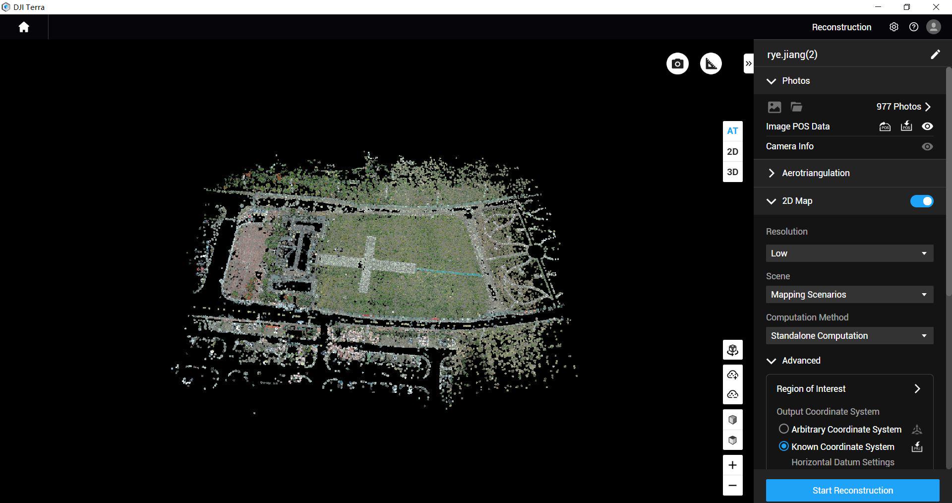
Use distinct layers of evidence. One contains original observations: source photographs, capture records and relevant field notes. Another contains processing outputs. A third contains the ecological interpretation and the person responsible for it. Keeping these stages distinct makes questions easier to investigate.
The Heritage Council’s guidance emphasises documented metadata and survey quality. [1] Use that as a prompt to agree a project-specific record. Identify where an interpretation came from and which observations support it. When a later reviewer disagrees with a boundary or category, the original evidence should remain available rather than disappearing inside a flattened final illustration.
Arrange processing before collecting files
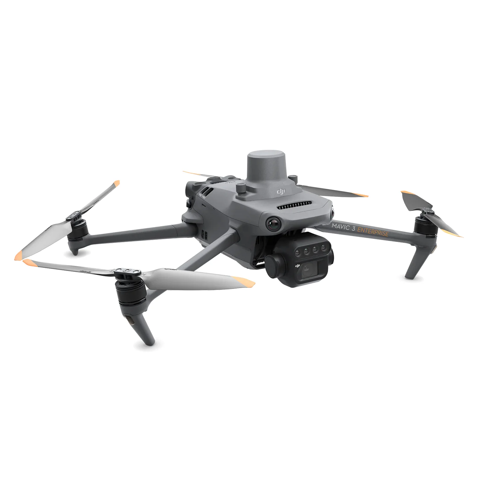
EN-01 supplies Mavic 3 Multispectral and four total flight batteries, with the listed reflectance panel and capture accessories. It excludes image-processing software. Confirm the intended processing tool, licence, operator and trial output as part of the project plan.
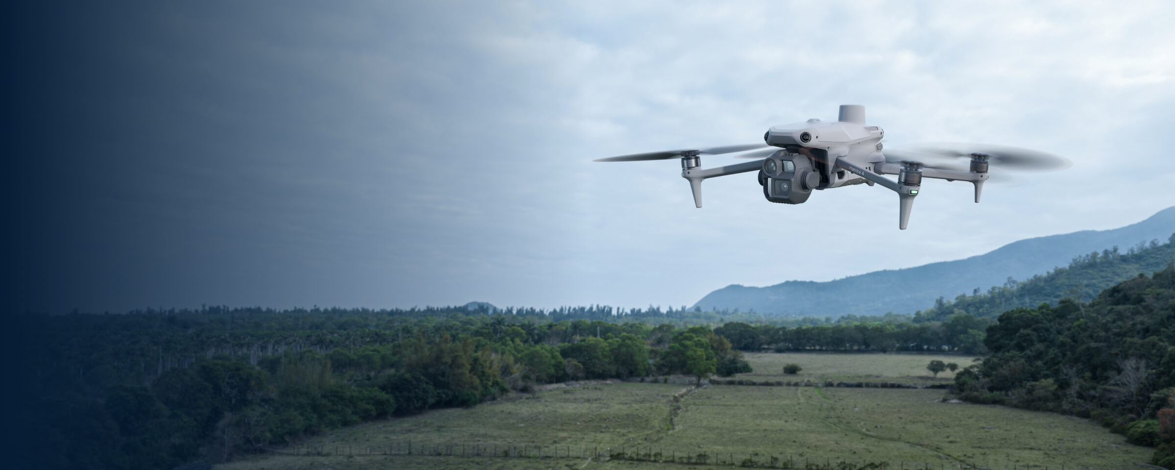
EN-02 supplies Matrice 4E, five total batteries, D-RTK 3 and the stated annual Terra Standard entitlement for Matrice 4E/4D data. Agree the actual reconstruction and export requirements. The existence of a licence does not define the ecological method or establish that every desired analytical task is included.
Connect the images to field information
An Irish peatland study compared drone-derived vegetation information with field-based habitat mapping. [2] The useful planning lesson is to make the reference information part of the method, rather than adding it after a coloured map has already been interpreted.
Ask the ecological reviewer which observations they need and how they will relate them to the imagery. Record dates and the responsible person, and identify places that remain uncertain. Where a field visit and an aerial record describe different times, keep that difference visible. A shared reference schedule helps the team distinguish a genuine disagreement from a mismatch in timing, location or interpretation.
Create a delivery register people can follow
Give each deliverable a clear name, purpose and version. A simple register can distinguish original files, processed outputs, interpreted layers and review notes. Include the coordinate reference and relevant timing information wherever the receiving team needs them. Agree retention and access with the client.
Keep a record of revisions. If an outline changes after a site visit, preserve the previous version and note why it changed. If processing is repeated, identify the dataset and method used. This structure supports a practical audit trail without requiring every recipient to understand the full processing system. It also makes later repeat work easier to commission.
Include a named contact for file queries and an agreed review date, so the recipient knows how to resolve a practical problem.
Make uncertainty reviewable
NatureScot’s peatland research discusses the role of field validation in interpreting remotely sensed condition information. [3] For the proposed project, ask how uncertain or missing observations will be represented and who can resolve them. Avoid making completeness look better by silently filling gaps.
Give the reviewer a useful choice: accept the record for its stated purpose, request clarification, ask for another observation or identify a question needing another method. Record the reason and next action. The acceptance decision should follow the project’s evidence needs, rather than the visual attractiveness of an exported map or the number of files supplied.
Run a sample handover before the full survey
In a hypothetical habitat project, the capture team supplies a small example folder to the ecological reviewer. It contains a source-image sample, the proposed processed output, field-reference notes and a short gap register. The reviewer tests whether the files open in their working system and whether the record supports the intended decision.
Use the response to refine the delivery schedule. Confirm who fixes a missing record, how further field checks are commissioned and which outputs need professional interpretation. The package training and dataset reviews can be scoped around capture quality, while ecological acceptance remains with the appointed reviewer. Read restoration records or visible wetland boundaries for the related task briefs.
Questions about data acceptance
Is a processed map enough? Agree the source information and context the recipient needs to assess it. Who confirms a habitat category? The project should appoint the appropriate ecological reviewer and define their method. Are dataset-quality reviews ecological sign-off? Their agreed capture-review scope should be stated separately.
Can we plan the handover before buying? Yes: bring an example required output, the receiving software and the intended reviewer to the equipment discussion. Compare the environmental capture routes or discuss training and a sample dataset review.
Explore the equipment packages on Irish Drone
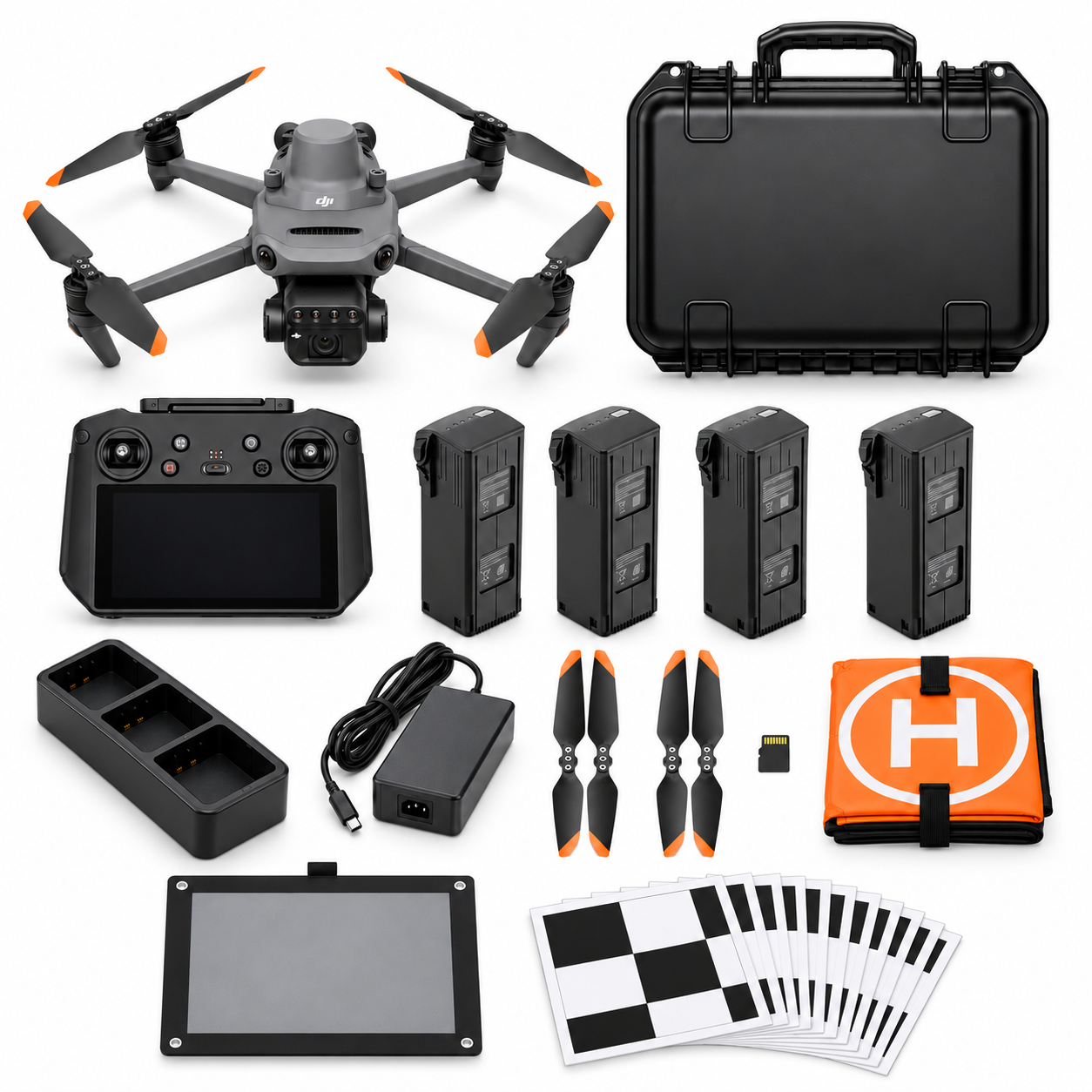
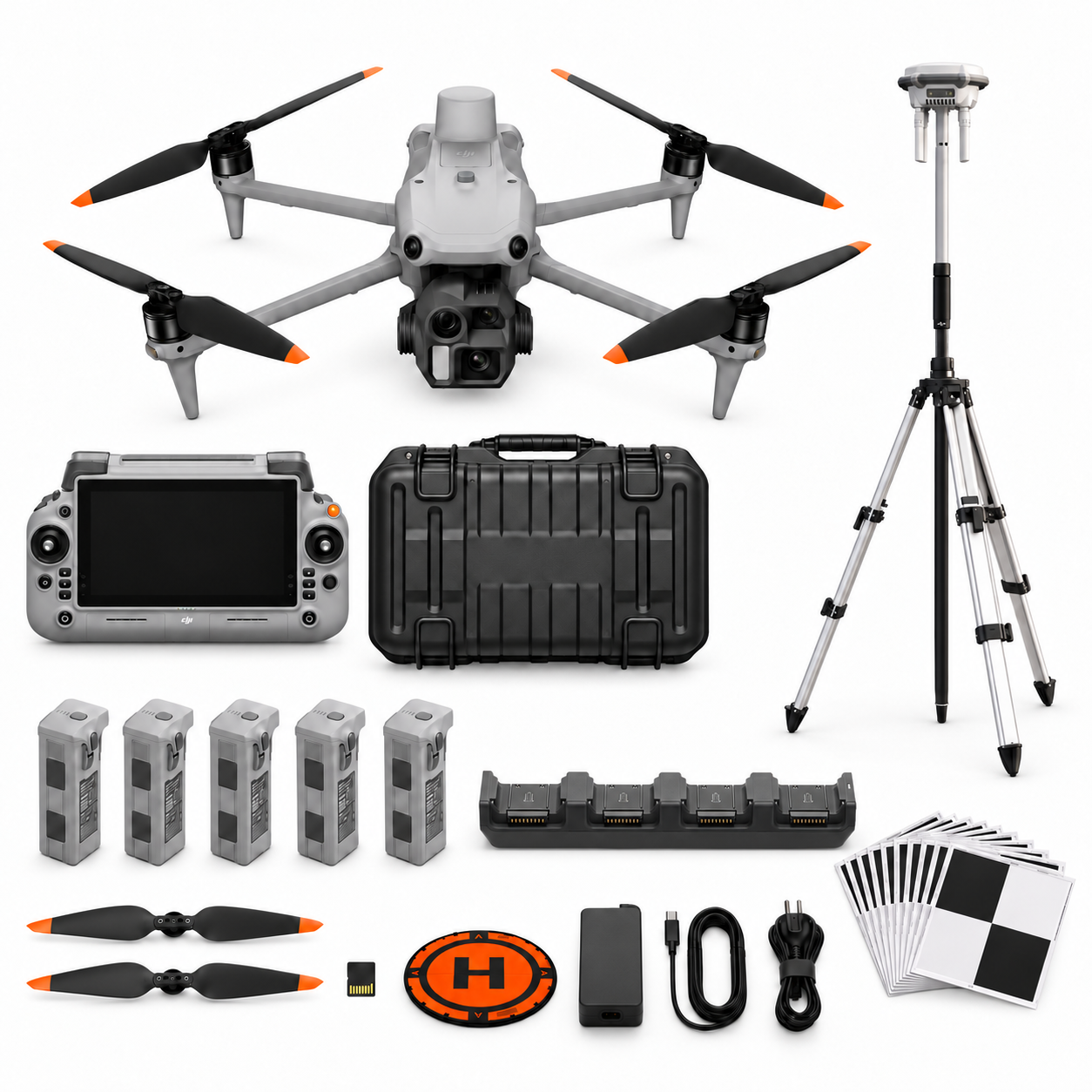
Package illustrations show the listed configurations. Battery quantities are whole-package totals.
Official manuals and setup guidance

Continue with the guide for your work

Documentation and evidence
Sources for the cited guidance
- Irish habitat mapping guidanceRead source ↗
Reviewed 3 November 2026.
- Irish peatland mapping studyRead source ↗
Reviewed 3 November 2026.
- Peatland condition research guidanceRead source ↗
Reviewed 3 November 2026.





Pingback: Planning Drone Records for Habitat Restoration | Irish Drone
Pingback: Choosing Drones for Environmental and Habitat Records | Irish Drone
Pingback: Recording Visible Wetland and Flood Boundaries with a Drone | Irish Drone