
QUARRIES & AGGREGATES · P1 OR L3 TERRAIN
A sensor comparison is useful only when both routes are judged against the same site requirement.
Evidence reviewed 3 November 2026 · Ireland
The practical answer
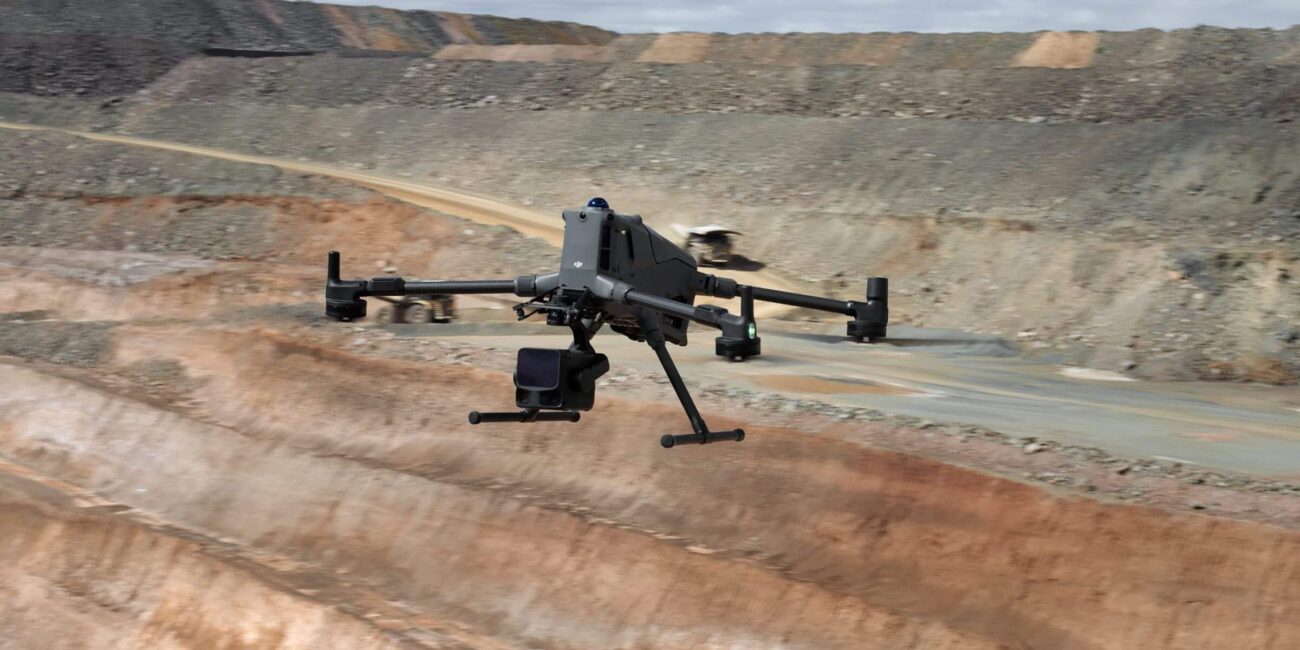
Compare the photographic P1 route and L3 terrain route using the same required features, reference basis and acceptance brief. Include representative difficult areas and examine what each retained dataset can support. MQ-02/MQ-05 use M400 with P1; MQ-03/MQ-06 use M400 with L3. Neither package provides a geotechnical assessment or a complete-surface guarantee.
Separate terrain capture from engineering interpretation
A terrain model can support a site discussion without answering whether a face or tip is stable. State the task clearly before comparing sensors. Ask the responsible person what observations would be useful and which conclusions require specialist inspection, other measurements or professional interpretation.
HSA places quarry inspection within operating and assessment arrangements. [1] The pilot should fit those arrangements. Do not present an aircraft demonstration as permission to approach hazardous features or as a replacement for the quarry’s competent inspection process. A useful equipment trial has a deliberately limited question and a clear recipient for the resulting information.
Compare the actual approved systems
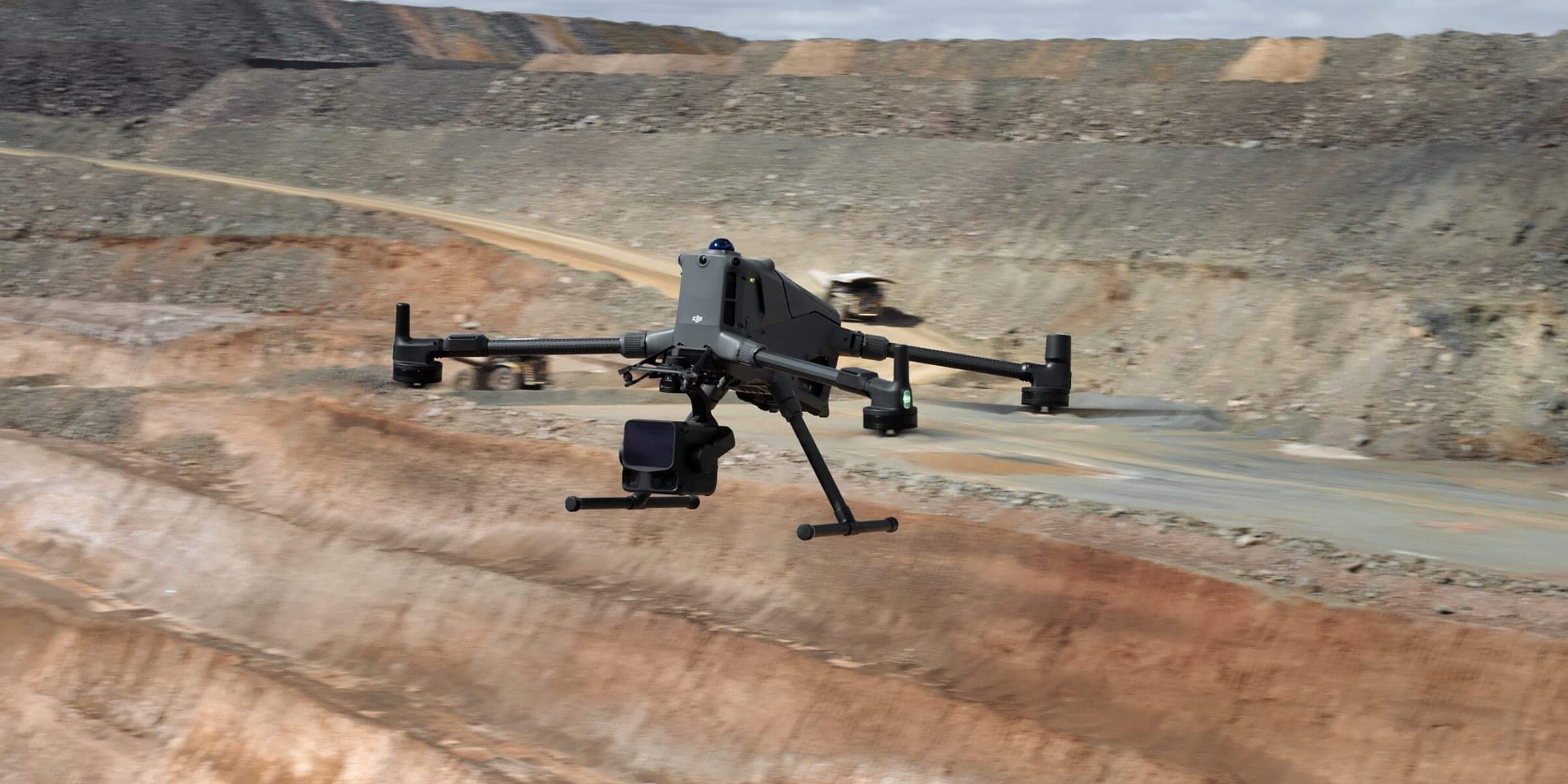
MQ-02 and MQ-05 supply M400 with P1 and an owned D-RTK 3 setup. MQ-03 and MQ-06 supply M400 with L3 and its listed supporting accessories. Each route has three total flight batteries; the higher-numbered member of each pair adds Power 2000. Use D-RTK 3 in the base/broadcast workflow for these survey tasks. [4]
Do not compare an incomplete standard kit against a demonstration system containing additional services or equipment without recording that difference. Keep the payload, reference arrangements, software version and intended outputs visible in the trial brief. The purpose is to assess a working route your organisation can adopt, not to declare a universal winner between two technologies.
Include representative geometry and exclusions
Choose an area containing the transitions that matter to the project, rather than only its most accessible ground. Ask the receiving surveyor to identify the required detail and the likely consequences of gaps. Keep the pilot small enough for careful review, while including a meaningful example of the site’s difficult surfaces.
Record areas that the agreed operating plan will not capture. If an exclusion affects the intended product, decide in advance whether it needs supplementary surveying or a restricted conclusion. Neither a photograph-based reconstruction nor a LiDAR-derived surface should silently invent missing information to make the deliverable appear complete.

Use a common reference and independent checks
Give both routes the same project reference and intended use. Have the survey lead define independent observations appropriate to the features being assessed. If a comparison uses different boundaries, dates or reference assumptions, explain those differences before interpreting the results as evidence about the sensors.
Evaluate the output where it matters to the decision. A visually neat overview can conceal a local problem at a critical edge. Conversely, a more complicated dataset is not automatically more useful to the recipient. Make the review practical: ask whether the required feature can be identified, checked and used with the level of confidence the brief demands.
Inspect the route from observations to surface
For the photographic route, ask how uncertain or missing areas were handled during reconstruction. For the L3 route, review the retained observations, classifications and derived surface. Keep the original capture available so a reviewer can distinguish what was measured from what was inferred during processing.
DJI documents task-quality review for L3. [2] Follow current manufacturer instructions for the delivered system, while keeping final acceptance separate from field previews. A quality indicator can help decide what needs attention; it does not by itself establish the suitability of the complete terrain product for a quarry engineering decision.
Ask the office to use a sample before accepting the route
The person receiving the terrain should test a representative file in the normal project environment. Check the required reference, units, surface meaning and any interpretation needed to use it. Agree which records must accompany the data so limitations do not disappear when the output moves to a different department.
If the recipient needs sections, selected features or a particular surface interpretation, identify who creates and checks those products. A point cloud and a finished engineering deliverable are not interchangeable. A successful pilot demonstrates the agreed handover and makes unresolved dependencies visible before a wider programme is scheduled.
Compare the complete workload, including the difficult cases
Record the work needed to prepare, capture, transfer, process, review and issue each route. Include the time spent resolving exceptions, but do not turn one trial into a guaranteed productivity claim. Decide which tasks the organisation can perform reliably and which need continuing specialist support.
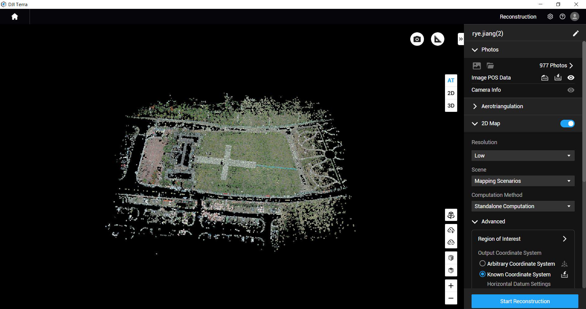
Both M400 quarry routes include Terra Flagship for twelve months. That inclusion does not prove that every desired editing or interpretation step is covered. In the L3 route, keep the package entitlement distinct from DJI’s free-processing provision. [3] Confirm the actual workflow and additional dependencies rather than using the licence name as a substitute for a demonstration.
Write a limited, useful conclusion from the pilot
Conclude against the initial question: whether the tested route can support the specified terrain information under the observed conditions. List the limitations, any supplementary measurements and the competence needed to repeat the work. Keep the decision narrower than a claim that LiDAR always beats photography or that one successful area represents the entire quarry.
A hypothetical outcome might be to adopt one route for routine open-ground records while retaining separate methods for difficult or consequential features. That is a procurement example, not a result claimed for these packages. The strength of the decision comes from a reviewable trial and an honest account of its limits.
Questions for the quarry terrain demonstration
Does more data mean a better engineering answer?
Only when the relevant observations, interpretation and validation support that answer.
Can either route certify face stability?
No. The equipment package and dataset review are not a geotechnical assessment.
Where do we start?
Review MQ-02 P1 and MQ-03 L3. Send Irish Drone the required features and pilot acceptance brief, including the person who will review the terrain.
See the software workflow
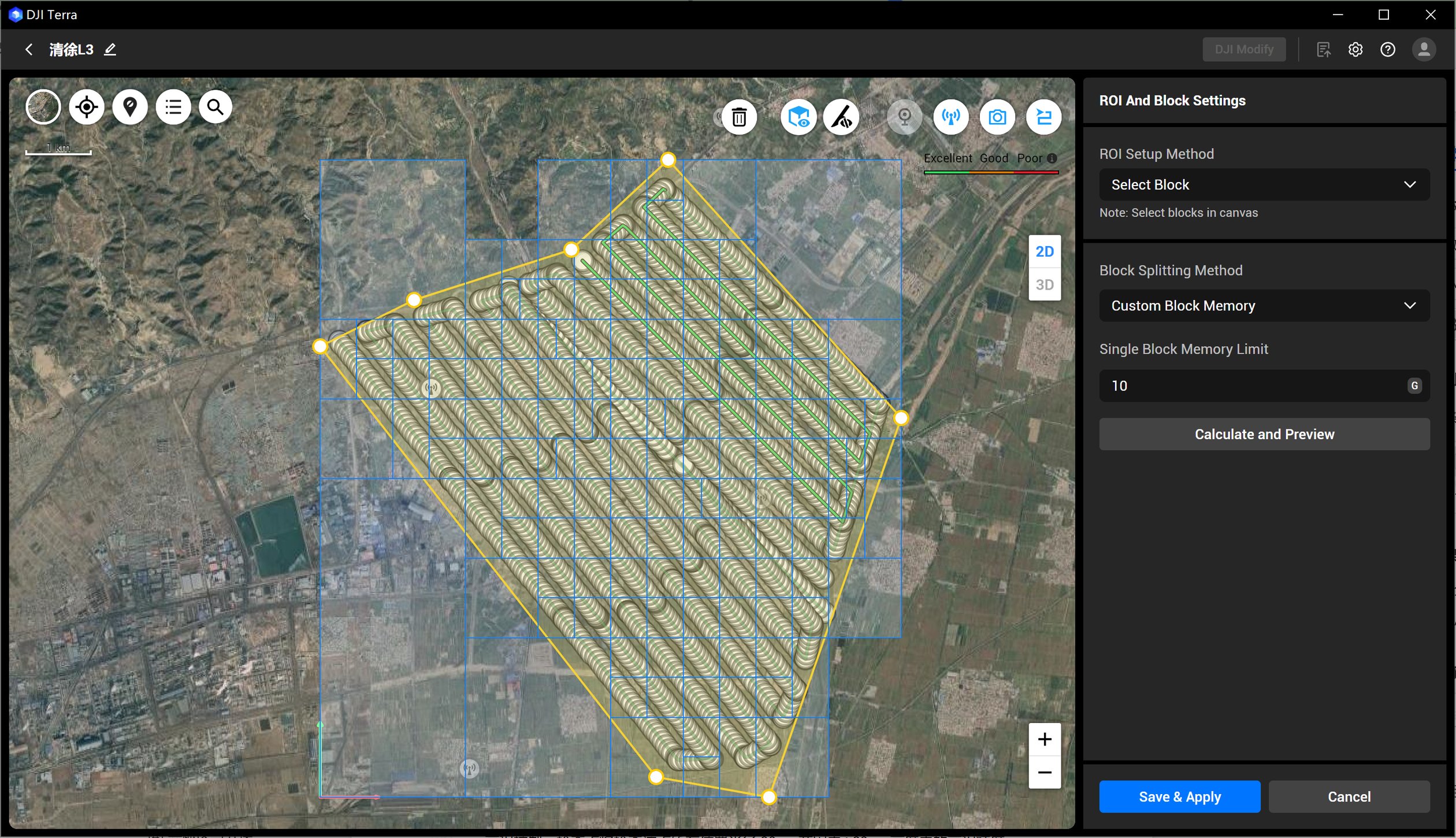
The software image is a manufacturer workflow reference. Check the written licence edition and the supported aircraft, file type and project method before choosing a processing route.
Explore the equipment packages on Irish Drone
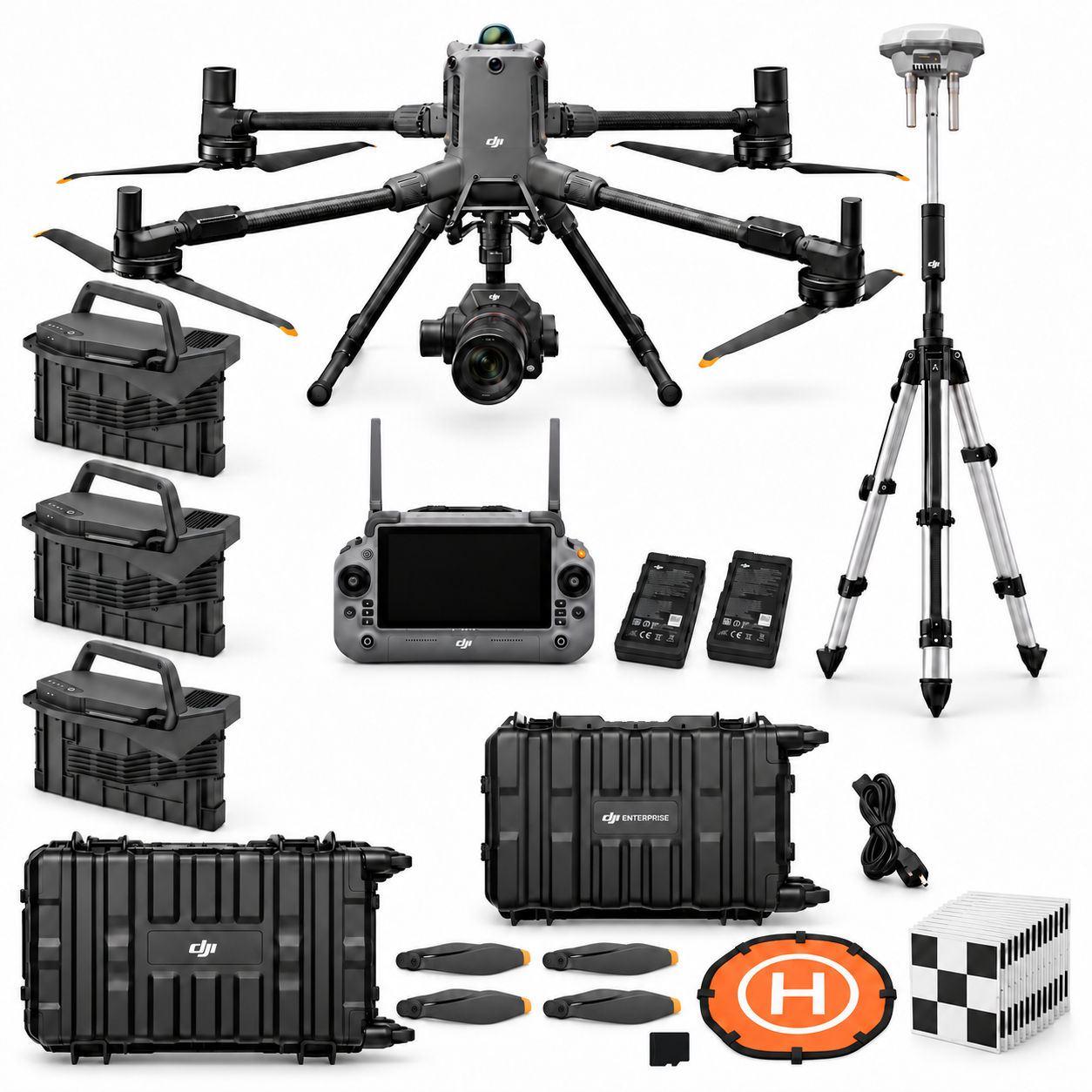


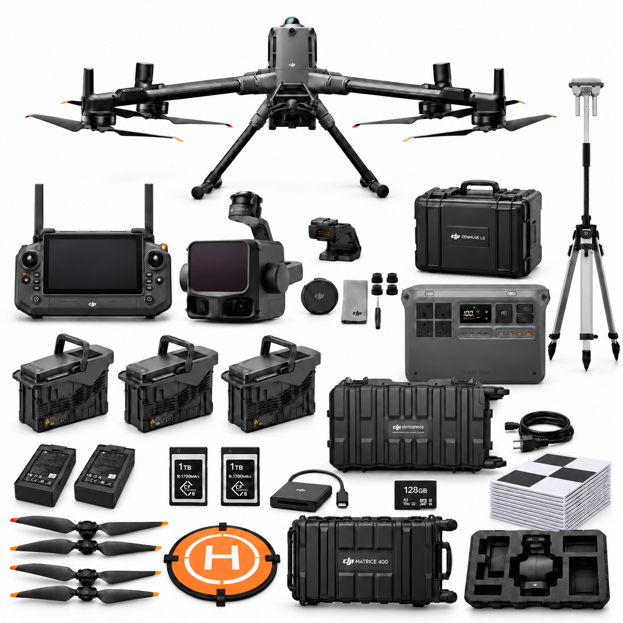
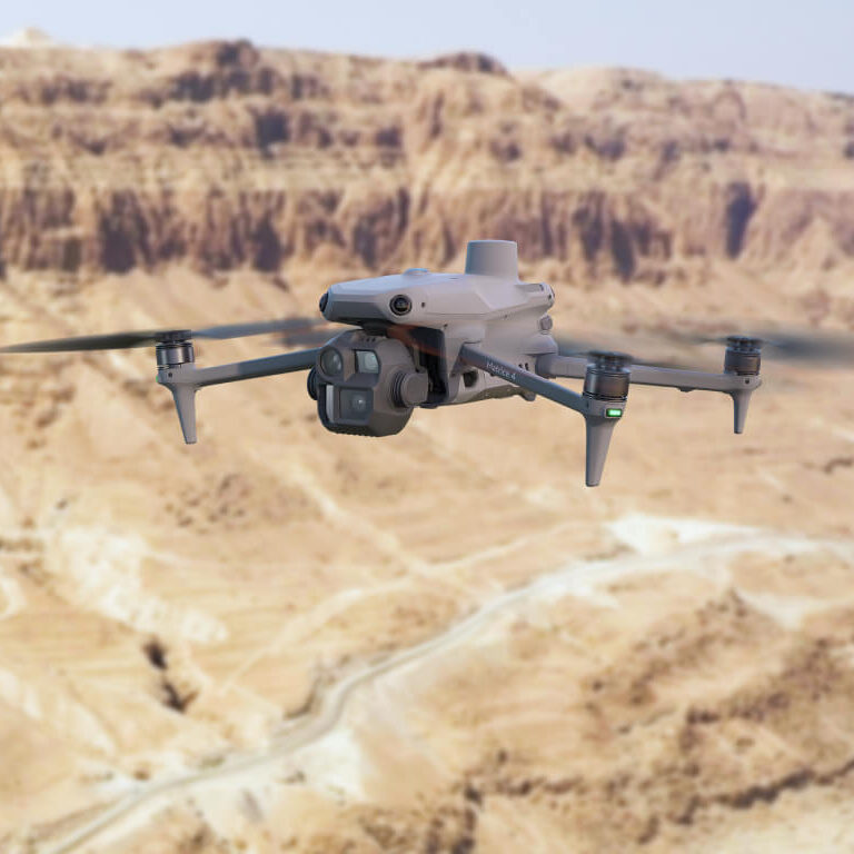
Package illustrations show the listed configurations. Battery quantities are whole-package totals.
Official manuals and setup guidance
Continue with the guide for your work
Documentation and evidence
Sources for the cited guidance
- HSA stockpiles and tipsRead source ↗
Reviewed 3 November 2026.
- DJI L3 user manualRead source ↗
Reviewed 3 November 2026.
- DJI L3 supportRead source ↗
Reviewed 3 November 2026.
- DJI D-RTK 3 FAQRead source ↗
Reviewed 3 November 2026.





Pingback: Drone Stockpile Volumes: Base and Boundary Guide
Pingback: Repeat Quarry Drone Inventories and Reconciliation
Pingback: Quarry Drone Packages Ireland: M4E, P1 or L3