
WILDLIFE MONITORING · SENSITIVE-SITE PLANNING
Bring the site manager, ecological lead and drone team into a clear brief before deciding how an observation should proceed.
Evidence reviewed 3 November 2026 · Ireland
The practical answer
Start with ecological purpose and site conditions. Agree sensitivity assessment, responsibilities, permissions, stop decisions and sharing of location records. Equipment selection follows that brief; a wildlife package is not permission for a particular survey.
Begin with the reason for the observation
A project might document activity for a conservation manager, investigate information from a landowner or support a longer survey. Explain why aerial imagery could contribute and what the recipient needs. Ask whether existing records or another suitable method can answer the question with less disturbance.
Identify who is responsible for the ecological decision and aircraft operation. These may be different people, and both need the relevant information. Site access, ecological conditions and aircraft-operating requirements are distinct parts of preparation. Resolving them early gives the supplier a practical brief and prevents equipment availability becoming the reason to undertake an otherwise unsuitable task.

Read the conditions for the actual place
NPWS’s filming form sets wildlife-disturbance conditions for its managed sites. [1] Check current requirements with the responsible authority or manager. This site-specific form is not a general permit for all conservation work.
Keep a record of the agreed activity, locations, people and conditions. When the purpose changes, ask whether the arrangements still apply. Use shared official planning resources for aircraft matters and retain the ecological assessment separately. The preparation should make it easy to explain who approved which aspect, what remains outstanding and when the decision must be revisited. This guide prepares those questions rather than issuing a legal or ecological approval.
Make sensitivity a planning input
Ask the ecological lead what matters at this site and time: the intended subject, other wildlife, vulnerable locations and activities that may change disturbance risk. Put the advice in a form the field team can use. A generic equipment checklist cannot answer these questions by itself.
Agree how the information is updated and who can stop the task. Seek clarification when the conditions are uncertain. The goal is a responsible observation, rather than an experiment that approaches wildlife until it reacts. A sensible preparation exercise can conclude that aerial work is inappropriate. Keep the reasons with the brief so another team does not unintentionally repeat the same unsuitable proposal.
Prepare a limited observation task
Specify the evidence needed and the simplest proposed way to obtain it. Define the area, location references and handover. Ask the reviewer how inconclusive views should be recorded, so the field team understands that a useful record can include an unresolved observation.
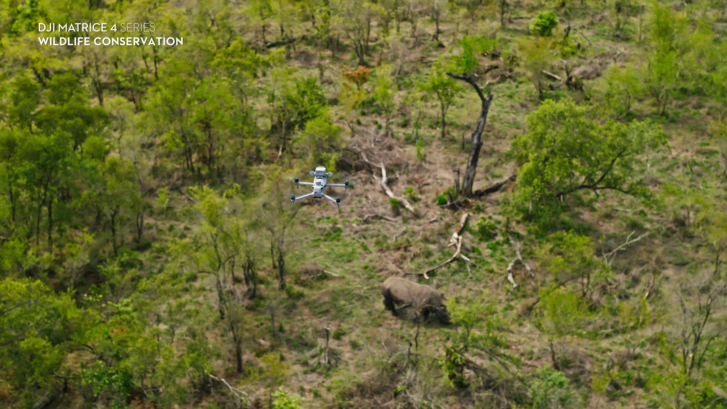
For a hypothetical reserve, the first question could be whether appropriately planned imagery helps organise already-permitted observations in one agreed area. Include review and stop decisions, and keep conclusions within that question. This is a planning example, not a delivered project or advice for a particular protected site. Wider use would need its own assessment rather than relying on one favourable demonstration.
Agree the field responsibilities
Name the ecological lead, aircraft operator and record recipient. Decide how changing conditions and possible disturbance are communicated. Everyone should have a clear route to pause the task and resolve uncertainty. Discuss the handover between people, including when a person changes roles or leaves the site.
Make postponement and cancellation understandable before travel. The team should not feel required to obtain images simply because equipment has arrived. Prepare transport, charging and file handling with the site conditions in mind. This working arrangement is part of the purchase assessment, especially when different people may operate the same equipment across later visits.
Plan the sharing of location information
The responsible organisation may want to share wildlife locations selectively. Agree recipients, storage and the detail appropriate to each output. A public summary can serve its purpose with less location detail while the authorised working record retains the relevant evidence.
Keep dates, reviewer decisions and source-file references. An old observation should not circulate as an unexplained current location. Carry uncertainty into shared versions, including where an identity remains unresolved. Keep training examples separate from local records. A published supplier image is not evidence of that species at the customer’s site, even if it uses the same aircraft. Attribution and record identity should survive every version of the handover.
Choose equipment after understanding the brief
The confirmed wildlife range uses Matrice 4T or standalone Matrice 4TD, with five total flight batteries per package. WL-03 and WL-04 add Power 2000 to their corresponding configurations. No image-processing licence is included, so identify any analysis tool and responsibility separately.
Training introduces the supplied equipment and agreed workflow. Dataset-quality review does not become ecological accreditation or an animal recovery service. Compare the exact contents with the assessed plan and identify what remains customer supplied. Read the repeat-record guide for a time series and the search guide for candidate sightings. Additional data is useful only when the team can review and use it appropriately.
Questions before arranging a visit
Does purchase authorise access? Arrange access and the activity with the responsible parties. Does training qualify us as ecological surveyors? The included training covers equipment and the agreed capture workflow. Can we change the task on site? Assess changes against conditions and responsibilities first.
What should we send? Purpose, location, ecological lead and expected records. Compare WL-02 or WL-04, then discuss supply and training with Irish Drone. The selection guide presents the full confirmed range and the questions to settle before a trial.
Explore the equipment packages on Irish Drone
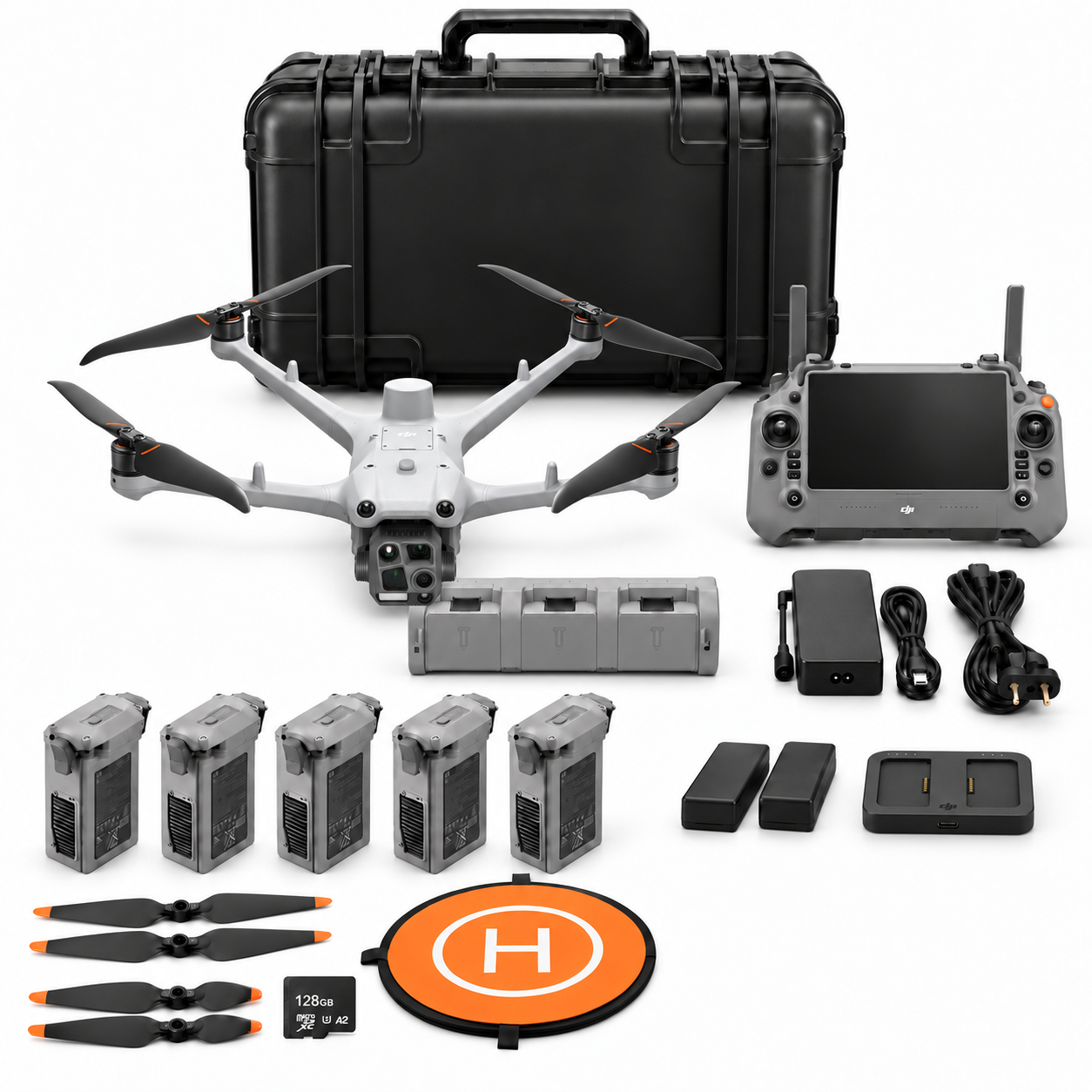
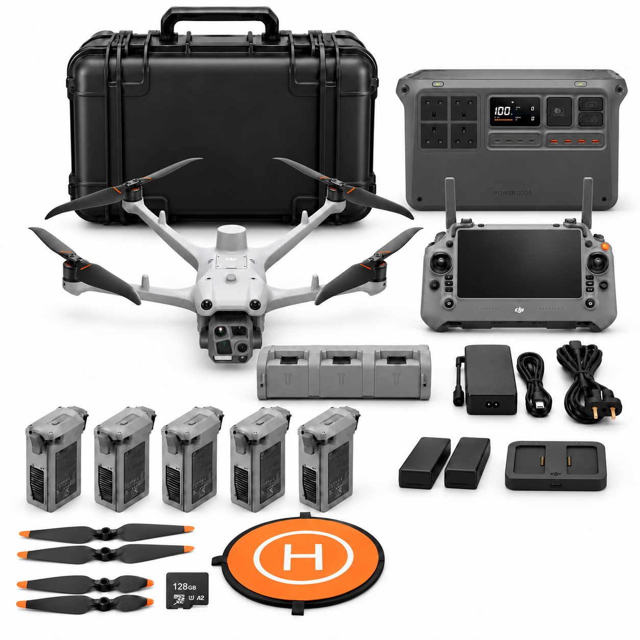
Package illustrations show the listed configurations. Battery quantities are whole-package totals.
Official manuals and setup guidance

Continue with the guide for your work
Documentation and evidence
Sources for the cited guidance
- NPWS site filming conditionsRead source ↗
Reviewed 3 November 2026.





Pingback: Choosing a Drone for Wildlife Observation in Ireland | Irish Drone