
WILDLIFE MONITORING · SELECTION GUIDE
Choose an observation workflow, team arrangement and review method before selecting the confirmed M4T or M4TD wildlife package.
Evidence reviewed 3 November 2026 · Ireland
Choose the guide for your task

The practical answer
Decide whether you need a location lead, a reviewed observation record or a repeat-survey process. The WL range contains M4T and standalone M4TD configurations, with designated Power 2000 alternatives. None includes processing software or a guarantee that every animal will be found.
Choose the observation question
A conservation team may want a lead on an animal’s location, a record of activity or a defensible comparison between visits. Those purposes require different review and validation. Start with the intended use, species context, area and person who will interpret the result. Avoid beginning with an assumed requirement to buy the largest aircraft.
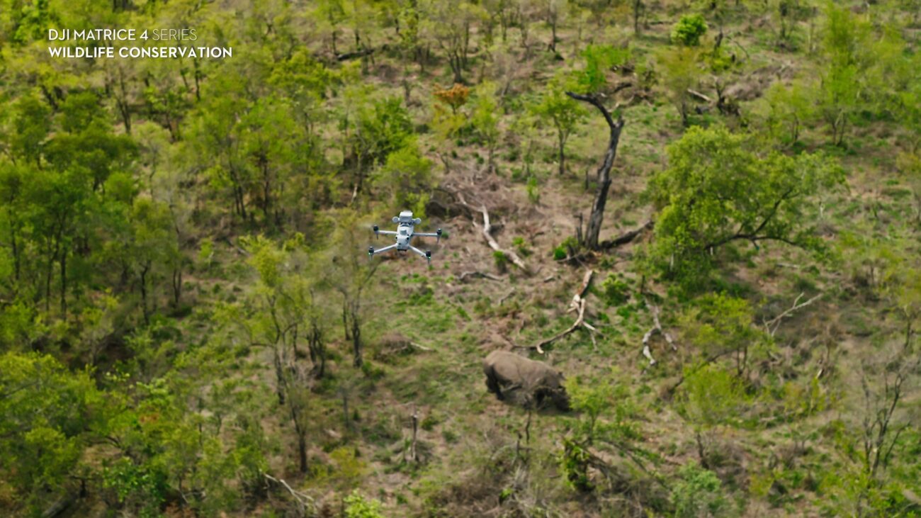
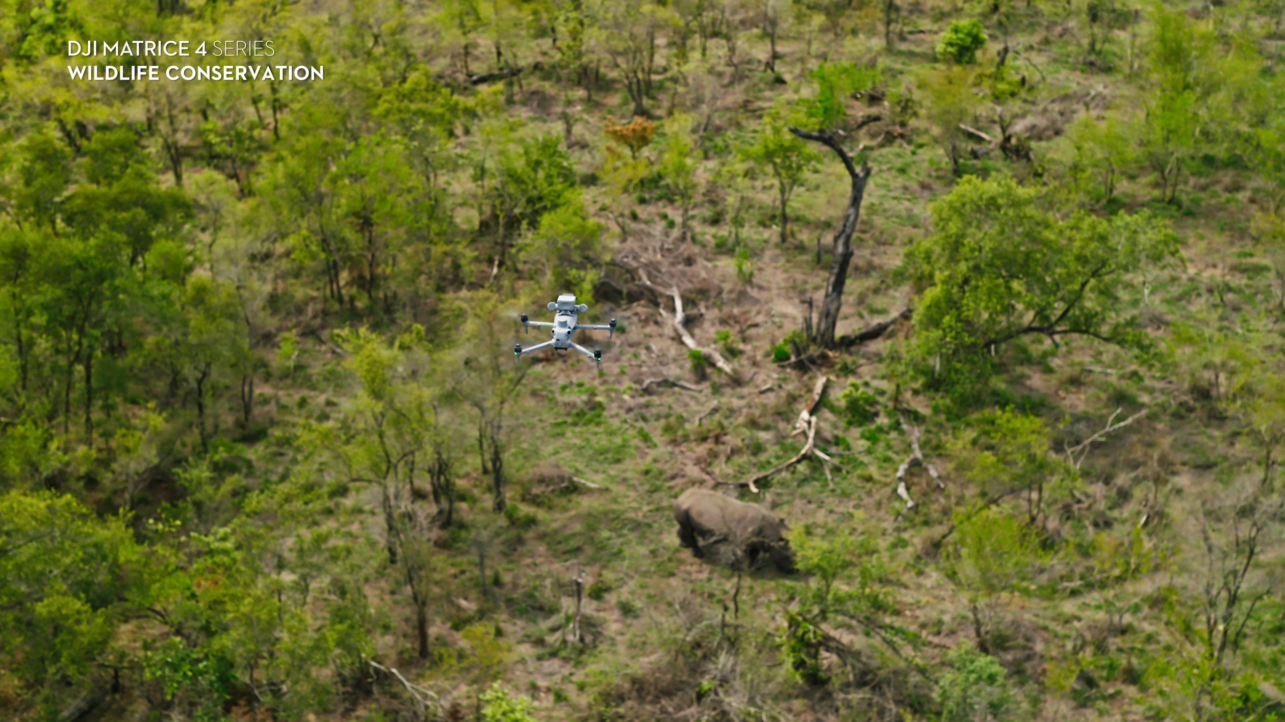
DJI presents M4T for thermal and visual wildlife observations. [1] That manufacturer positioning is a starting point, not a finding that it suits every species or habitat. Ask whether a useful result can be demonstrated at the actual site without unacceptable disturbance and what the team will do when the view remains uncertain.
Compare the confirmed wildlife configurations
WL-01 supplies Matrice 4T and five total flight batteries. WL-02 uses Matrice 4TD with five total batteries and its matched charging equipment. WL-03 and WL-04 are their respective Power 2000 alternatives.
These are choices about supplied equipment and field arrangements. They do not establish ecological superiority or guaranteed detection under cover. Ask the operator and reviewer to assess their complete process rather than using a model name as an answer. A standalone M4TD package does not include a Dock installation or a remote monitoring service merely because that aircraft family has other deployment uses.
Treat visibility as a project question
Burke and colleagues describe thermal contrast and obscuring vegetation as limitations in animal observation. [2] Plan to record where interpretation is uncertain. Do not describe an unobserved patch as empty or expect a flight to settle an unresolved presence question by itself.
Include relevant difficult conditions in a pilot, within an appropriate approved plan. Ask what can actually be identified and what needs another suitable method. Keep successful and unsuccessful examples. A useful equipment assessment should show where the approach fails as clearly as where it produces a convincing sighting, so the eventual survey report does not silently overstate coverage.
Keep sightings separate from population estimates
A location observation can direct attention without becoming a population count. Agree how repeat sightings, uncertain identity and incomplete coverage will be handled. If a count is required, have the survey designed and reviewed for that purpose rather than adding up every marked heat signature.
A ground-truthed koala study examined detection biases in specific observation methods. [3] Its results do not establish an accuracy figure for Irish wildlife or the supplied aircraft. Use such research to ask better validation questions. Do not import another project’s algorithm, correction factor or confidence claim without evidence that it applies to the present work.
Check the site and the ecological constraints
Decide who is responsible for assessing sensitivity, access and the appropriate permissions. Where a site manager or ecological adviser sets conditions, build those into the task brief before discussing dates. An aircraft’s availability should not determine whether a sensitive observation is appropriate.
NPWS filming conditions require avoiding wildlife disturbance at its managed sites. [4] They are site-specific conditions, not a universal licence. Use the shared official planning resources for the actual Irish operation, and keep ecological permission separate from aircraft-operating requirements. No package purchase grants either one. A planned stop or a decision not to fly can be a successful outcome of responsible preparation.
Agree who sees and reviews the evidence
Assign capture, observation and review responsibilities. Decide how a possible sighting is described, who may verify it and who receives the location. Sensitive wildlife records should have a deliberate sharing plan rather than becoming public map pins by default.
Keep originals, dates, location references, review decisions and unobserved areas. Make a clear distinction between the field observer’s note and a later species identification. If a classification remains uncertain, preserve it as such. The purpose is a record that another competent reviewer can understand, not a promotional count that loses the uncertainty and the path by which it was produced.
Test the working process before expanding
For a hypothetical conservation project, a team could select an agreed observation area and compare the proposed aerial record with independent information collected appropriately by an ecologist. The exercise would test useful observations, missed information and disturbance management, not promise a complete census.
WL-01/03 include one dataset-quality review; WL-02/04 include two. All offer six hours of training for up to four people and six months of introductory email support, by agreement. No processing licence is supplied. Scope additional analysis separately. Read the search-planning guide, the repeat-record guide and the sensitive-site guide for narrower decisions.
Ask the reviewer to identify what further evidence would be needed before a management decision. This gives the trial an acceptance test and helps the team distinguish a useful dataset from an attractive but inconclusive demonstration.
Questions before buying
Will it find every animal? No detection outcome is guaranteed. Can it provide an exact automatic count? Validate the proposed counting method separately; no processing software is included. Can we share all sightings publicly? Agree an appropriate data-sharing plan with the responsible organisation.
Which option includes portable power? WL-03 and WL-04. Compare WL-01, WL-02, WL-03 and WL-04. Send the observation purpose and reviewer requirements before choosing.
Compare the confirmed package configurations
Explore the equipment packages on Irish Drone
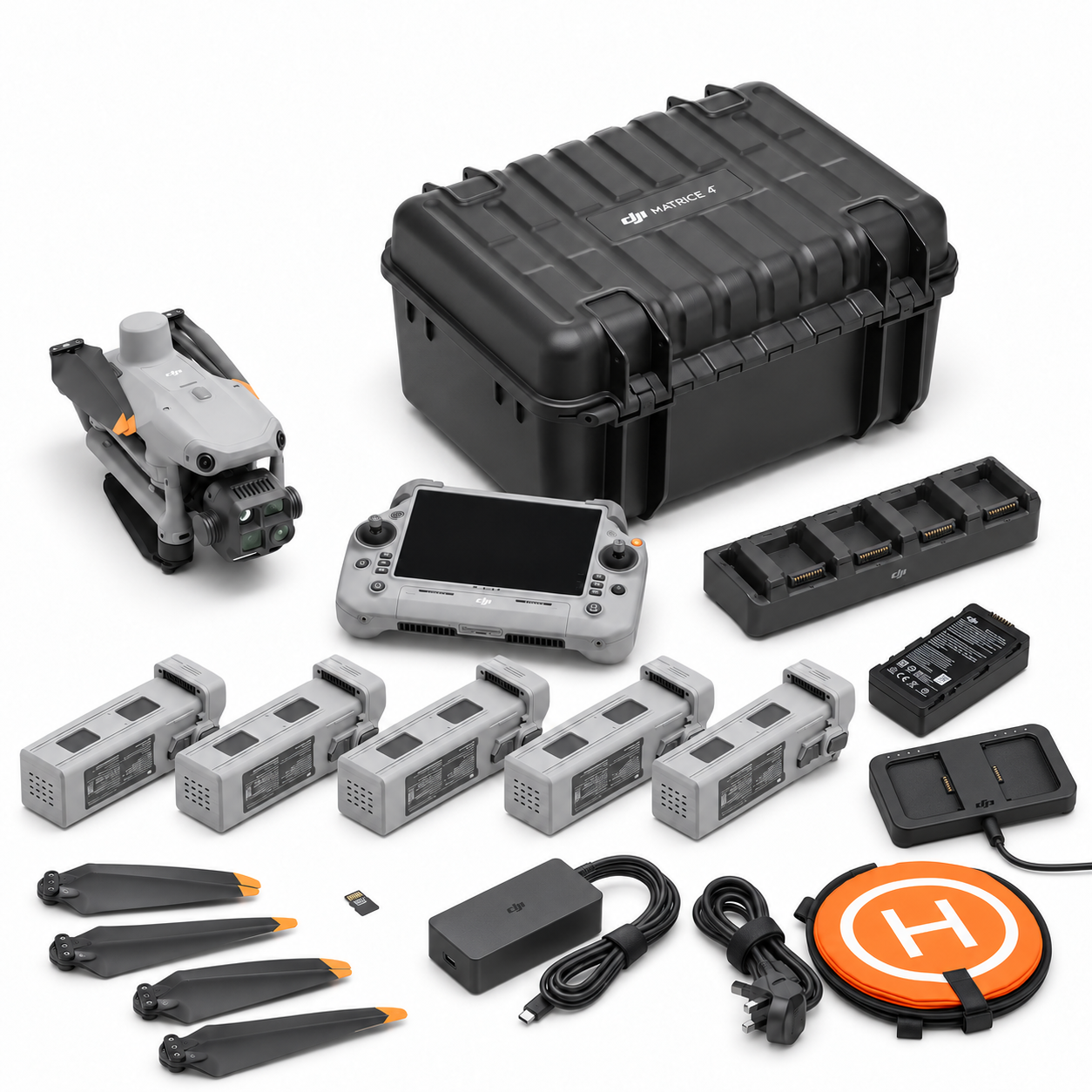
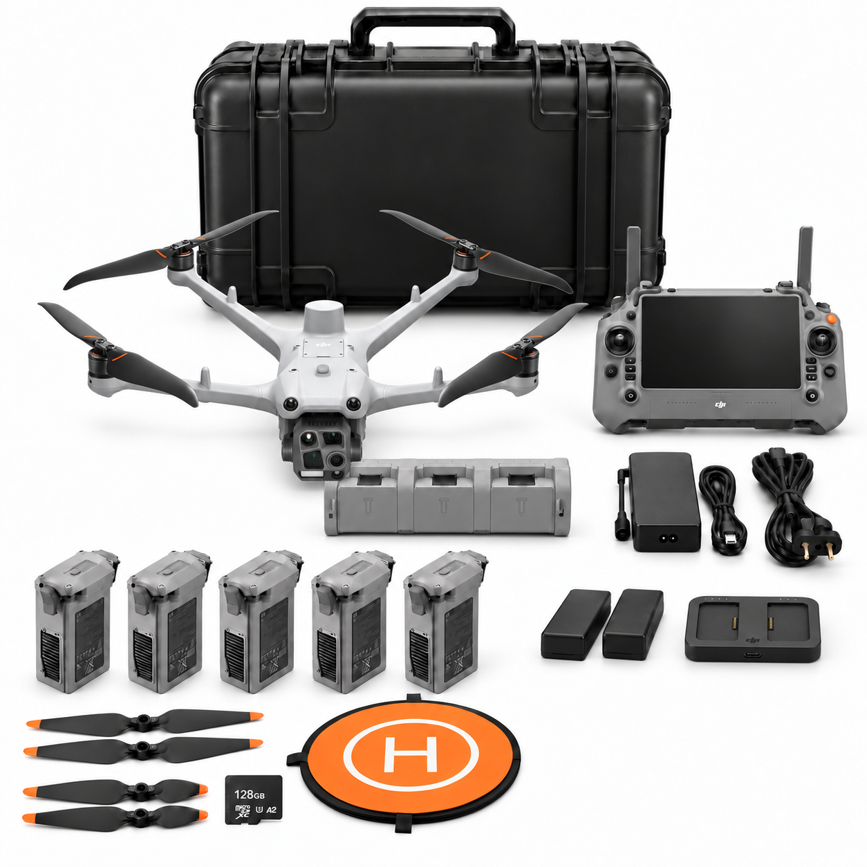

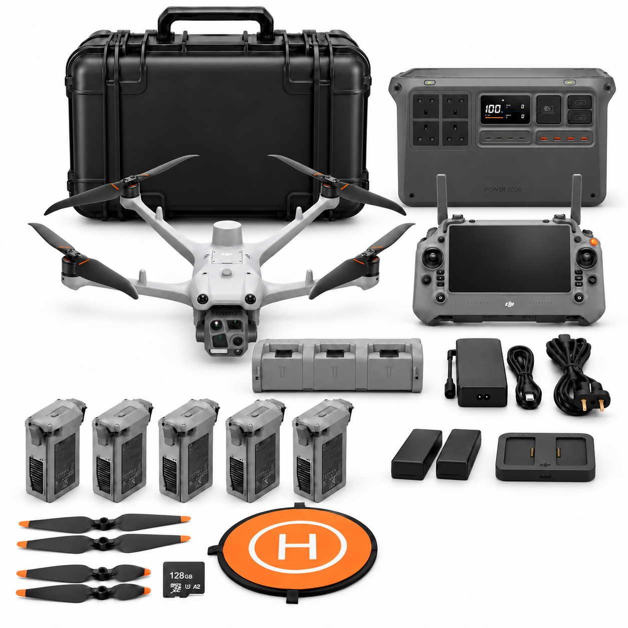
Package illustrations show the listed configurations. Battery quantities are whole-package totals.
Official manuals and setup guidance


Continue with the guide for your work
Documentation and evidence
Sources for the cited guidance
- DJI wildlife applicationRead source ↗
Reviewed 3 November 2026.
- Thermal observation methodsRead source ↗
Reviewed 3 November 2026.
- Wildlife detection bias studyRead source ↗
Reviewed 3 November 2026.
- NPWS site filming conditionsRead source ↗
Reviewed 3 November 2026.




Pingback: Sensitive-Site Wildlife Drone Planning | Irish Drone
Pingback: Planning a Thermal Wildlife Search | Irish Drone