

UTILITIES · CORRIDOR WORKFLOW
A corridor point cloud earns its place when the survey and engineering teams can inspect, understand and reuse it.
Evidence reviewed 3 November 2026 · Ireland
The practical answer
Before choosing UT-02 or UT-05, agree the corridor extent, coordinate and height reference, required classes, validation evidence and receiving format. Test a representative section containing the difficult features. Keep classification uncertainty visible and assign engineering interpretation separately from point-cloud production.
Write the downstream use into the brief
Ask the receiving team what it wants to do with the corridor data: update an asset model, review vegetation relationships, plan access or support a further engineering assessment. Each use changes the required coverage, reference information and review. Avoid commissioning a generic point cloud and deciding its purpose after delivery.
Attach a small example of the expected output or a schema from the existing system. Name the person who will accept the dataset and the person who will interpret it. This makes it easier to distinguish a capture problem, a classification problem and an engineering question during the pilot.
Define the corridor and its reference system
Supply agreed start and end limits, asset identifiers and any areas needing extra attention. State the required horizontal and vertical reference, units and expected treatment of adjoining sections. A reviewer should be able to place the sample in the organisation’s existing data without a speculative coordinate conversion.
UT-02 and UT-05 include a D-RTK 3 Multifunctional Station. Agree its supported base/broadcast configuration for the delivered setup. [1] Keep a record of the reference used and the check method. Positioning support is one part of the evidence; it does not settle classification quality or the suitability of the final interpretation.
Specify classes and how uncertainty will be shown
Decide which distinctions matter to the receiving team and how they should be encoded. For example, it may need to distinguish conductors, supporting structures, vegetation and ground rather than receive one undifferentiated surface. Agree how mixed or ambiguous areas will be reviewed.
Powerline classification research reports confusion at boundaries between classes. [2] This supports a practical acceptance task: inspect representative transitions, not just an attractive overview. The cited research is a separate experimental system, not a claim about an included L3 algorithm. For the pilot, ask the processor to show corrections and unresolved areas openly so the engineering reviewer can assess their importance.

Choose a section that reveals difficult features
A useful sample contains the features most likely to challenge the proposed deliverable. Ask the asset owner and survey reviewer to nominate these together. Consider variation in terrain, vegetation, asset geometry and visibility within the approved project boundary. Record why the sample represents the eventual work.
The L3 manual sets conditions for its power-line task workflow. [3] Have the competent operator review current instructions during planning. The buyer’s acceptance test should concentrate on the delivered evidence: coverage, identifiable assets, continuity, classification and any unresolved gaps. A demonstration of a route on screen is only one part of that test.
Keep validation independent of presentation
Agree the checks and their acceptance criteria with the qualified survey reviewer before capture. Keep the check evidence alongside the processed dataset, identifying the reference method, locations tested and residual uncertainty. A neat visualisation should help inspection, rather than serve as the sole proof of suitability.
Separate the measured or modelled relationships from engineering criteria applied later. If a clearance assessment is required, the responsible specialist must define the relevant geometry, asset conditions, rules and sign-off. The point-cloud producer should make the inputs and limitations easy to trace, helping the engineering team understand which conclusions the evidence can support.
Test the files in the receiving workflow
| Handover item | Acceptance question |
|---|---|
| Referenced dataset | Does it align with the agreed project reference? |
| Classes and asset index | Can the reviewer locate the required features? |
| Quality and gap record | Are uncertain areas visible and traceable? |
| Version and processing notes | Can a later team understand what changed? |
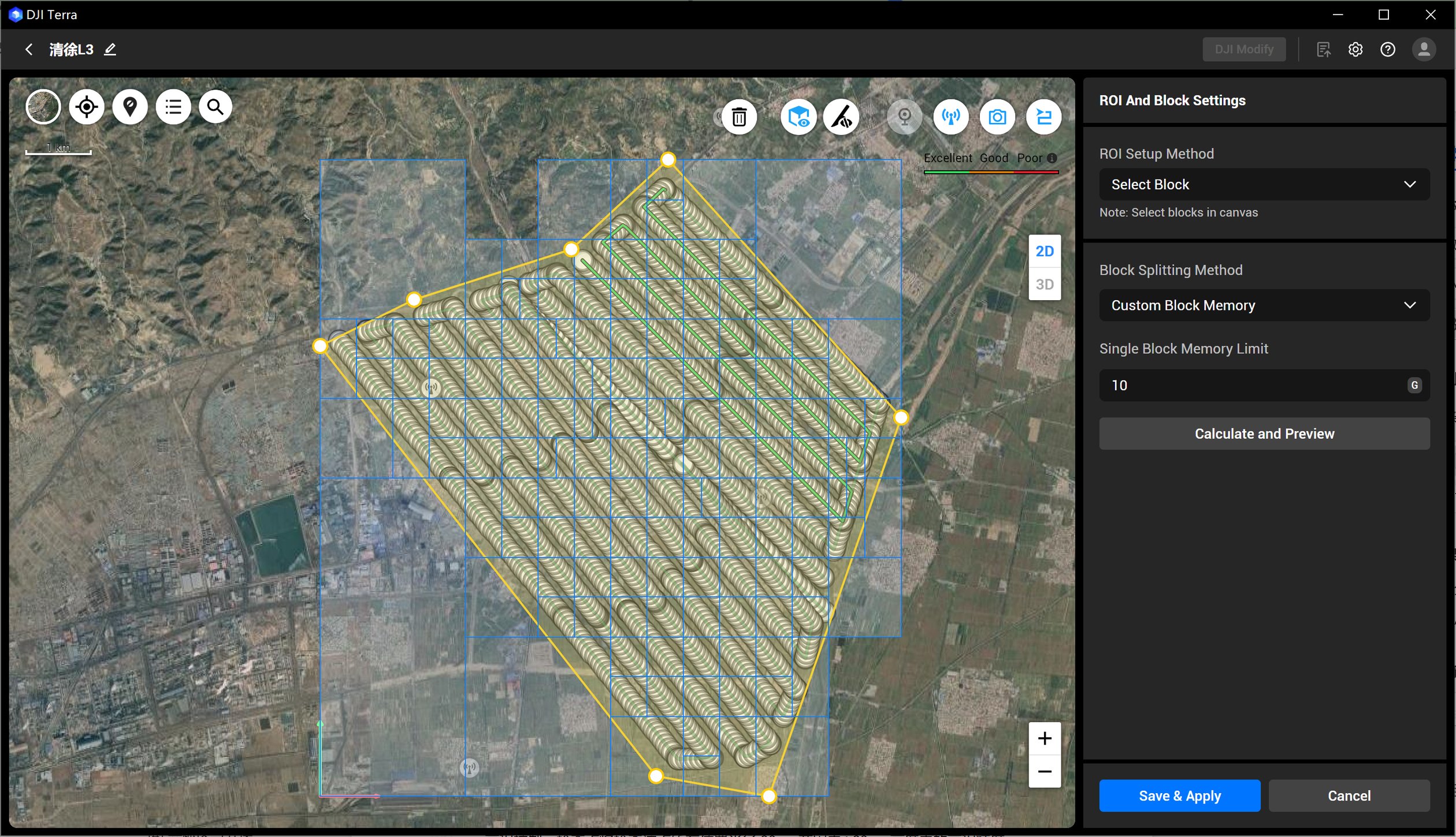
Open the sample using the customer’s actual receiving software. Confirm file sizes, segmentation, naming and access arrangements. Retain a small accepted example as the model for subsequent delivery. This is more reliable than assuming every export option will suit every internal platform.
Run the pilot as a joint survey and asset review
An illustrative pilot could cover one approved section selected jointly by the utility and survey lead. Before capture, the team agrees the reference, class schema and expected handover. After processing, the survey reviewer checks the dataset while the asset specialist tests whether the required features can be interpreted.
Hold a short review of accepted outputs, gaps and revision requests. Decide whether the next step is a revised capture, a different processing choice or a clarified engineering brief. Record those decisions with the sample. Expansion should follow a usable handover and a viable authorised operating plan, rather than a fixed promise about corridor length per day.
Corridor procurement questions
Is L3 the same route as an M4E mapping package?
No. UT-02 and UT-05 use M400 with L3. Keep the capture, processing and acceptance plan specific to that supplied configuration.
Does Terra Flagship make every classification automatic?
Define and test the actual processing route. The edition listed in the package does not remove the need for classification review or engineering acceptance.
What should happen to obscured or uncertain areas?
Identify them in the handover and agree their treatment with the responsible reviewer. An explicit gap is more useful than an unsupported assumption.
What changes in the Power version?
UT-05 adds Power 2000 to the UT-02 equipment route. It should be considered through the field team’s charging plan.
Request a sample against your corridor brief
Review UT-02 M400 L3 Utility Corridor LiDAR and the UT-05 Power 2000 option. Both approved routes include three total TB100 flight batteries, the specified station and Terra Flagship for twelve months.
Send Irish Drone the intended deliverable, reference system and a non-sensitive sample of the receiving format. Ask for the proposed training and dataset-quality review to address that handover. Use the utility selection guide if the real requirement is thermal asset visits or repeated fixed-site observation instead.
Explore the equipment packages on Irish Drone

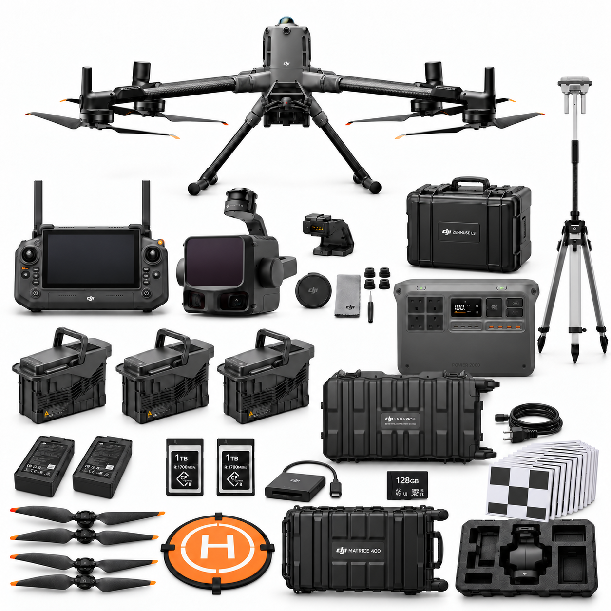
Package illustrations show the listed configurations. Battery quantities are whole-package totals.
Official manuals and setup guidance

Continue with the guide for your work

Documentation and evidence
Sources for the cited guidance
- DJI D-RTK 3 FAQRead source ↗
Reviewed 3 November 2026.
- Real-time LiDAR-based Semantic Classification for Powerline InspectionRead source ↗
Reviewed 3 November 2026.
- Zenmuse L3 User Manual v1.0Read source ↗
Reviewed 3 November 2026.
Compare equipment packages
Explore Power & Utilities drone packages →
To discuss equipment for utility corridor capture, contact Irish Drone with the corridor, reference system and required data deliverables.





Pingback: Utility Drone Packages Ireland: Choose by Maintenance Task
Pingback: Utility Thermal Drone Records: Capture to Maintenance Review
Pingback: Utility Dock 3 Pilot: Fixed-Site Acceptance Checklist