
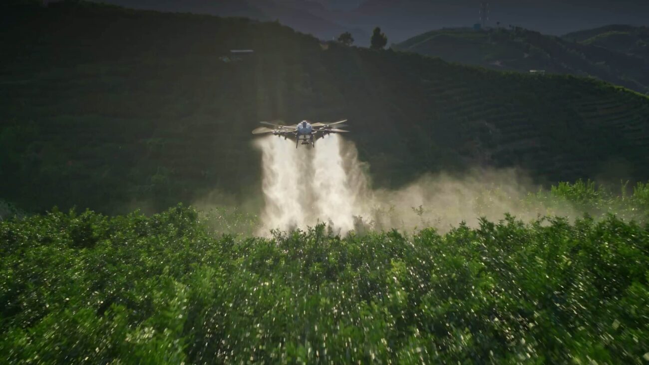
A workable route must fit the crop, the boundary, the surrounding people and the ground team’s access.
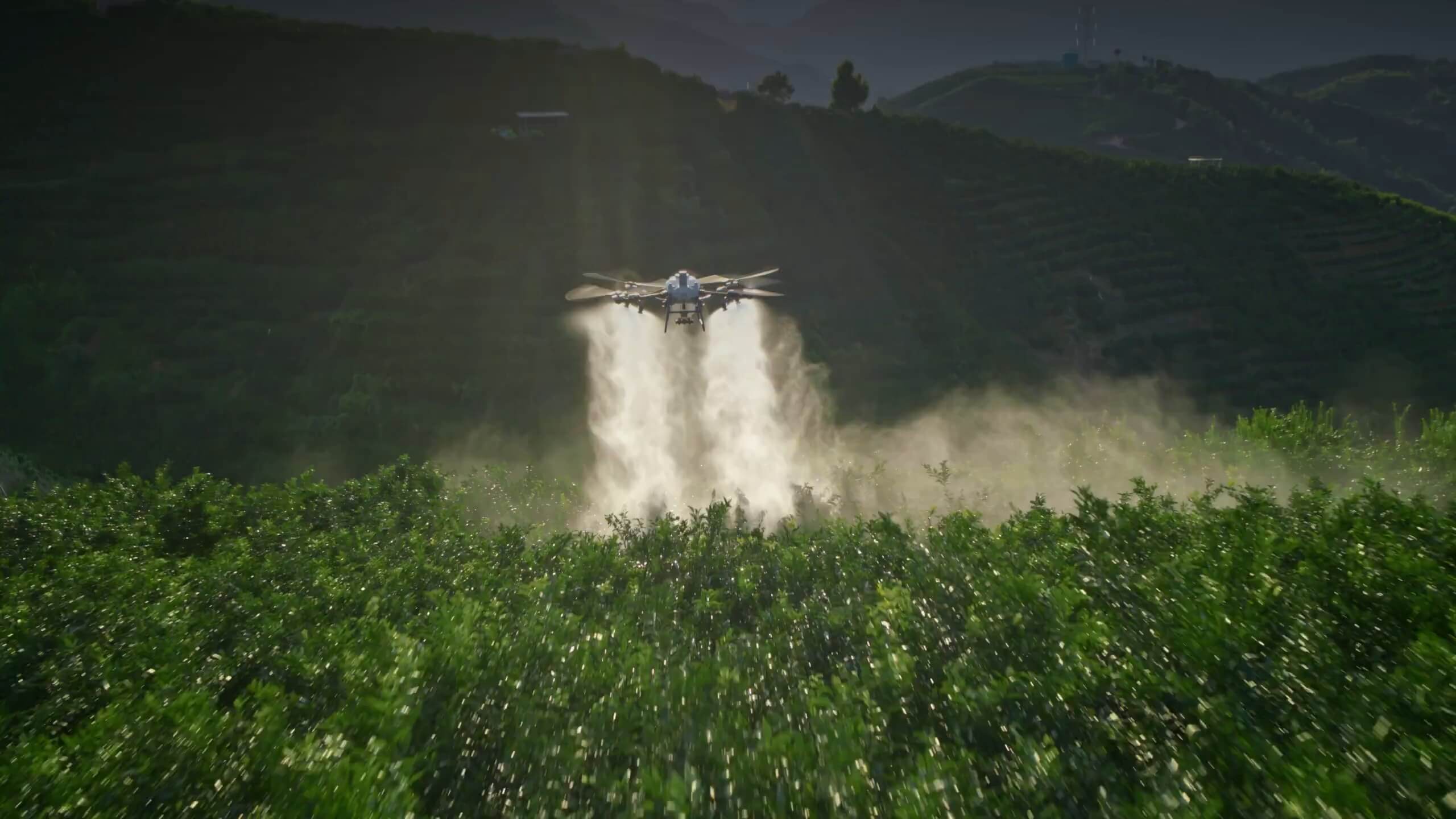
Walk the site before treating the map as the field
Orchards, hedged paddocks and irregular fields create decisions that a simple area measurement cannot answer. Begin with a site walk involving the land manager and the proposed operating team. Check current boundaries, gates, trees, overhead services, temporary fencing and places where people or animals may enter. Record changes that do not appear in the source map. A familiar field can still contain a new obstacle or a different pattern of access.
Use the walk to distinguish the area of interest from the area that can actually be worked. A narrow corner may be inside the ownership boundary without being suitable for the proposed route. The DJI SmartFarm guide describes orchard reconstruction and route planning, but a generated route still needs operational review. Do not infer permission, obstacle clearance or suitable application conditions from successful reconstruction alone.
Separate the working boundary from the surrounding risk
Draw the intended working boundary and all exclusions clearly. Then assess the space needed for turns, repositioning, take-off, landing and contingencies. A line following the hedge is not automatically a safe flight boundary, an application boundary or a protection distance for neighbouring features. Those decisions need to be justified for the actual operation, material and operating permission.
Map sensitive interfaces: public roads, rights of way, houses, water features, livestock movement and adjacent crops. Agree how the team learns about a change during the job, such as a gate opening or someone approaching along a path. Keep the boundary version with the job record. If the operator changes the planned area in the field, record the reason and confirm that the change remains within the approved operating and agronomic scope before continuing.

Use sensing as assistance within its conditions
Ask what the aircraft’s sensing system can detect under the intended conditions, and what the operator must identify independently. Fine wires, oblique branches, low-contrast objects and changing vegetation require attention. Avoid describing a platform as obstacle-proof. Sensor cleanliness, lighting, texture and the form of the obstacle can affect performance; the relevant limitations belong in the site plan and briefing.
The T70P specifications publish operating-environment conditions for its safety systems. Those conditions are not a guarantee that an aircraft will handle every hedge or wire on an Irish holding. Mark important obstacles explicitly and use the model’s current operating instructions. A map-based exclusion should account for the complete working setup, not just the aircraft’s centre point. If sensing cannot be relied upon for a particular feature, the plan must address that uncertainty rather than treating a sensor specification as mitigation by itself.
Review terrain and crop height as separate surfaces
In an orchard, the ground surface and the canopy surface are different. Changes in tree size, row shape and missing trees may affect the intended target and the available passage. In rolling grassland, a contour that looks gentle from the access road can hide a dip or obstruction along the planned track. Review the source and age of any terrain information before using it to inform a route.
DJI describes orchard mapping and three-dimensional route functions in its SmartFarm documentation. The commissioning question is whether the exact route representation, height reference and aircraft configuration behave as intended on this site. Do not transfer a terrain-follow claim from one aircraft, software mode or surface model to another without verification. Use a controlled, authorised assessment and retain the observed limitations with the route record, especially when the crop or canopy will change between visits.

Check the difficult parts of the route
Review the turns, narrowing areas and transitions between blocks before evaluating long straight runs. A route with many short segments may demand more repositioning and more operator decisions than its field area suggests. Check where the aircraft approaches the boundary, where release should stop and where a resumed job may overlap work already completed. The objective is an explainable working pattern, not simply the shortest computer-generated path.
Ask how an interruption changes the next action. A refill, a battery change or an unexpected person entering the area should not leave the operator uncertain about what has been completed. Use clear block names and a method for confirming the restart point. The T25P documentation is an appropriate starting point for model-specific procedures; it does not replace a review of the actual field geometry or authorise a route that extends beyond the agreed operating area.
Illustrative example: a triangular block beside a lane
Imagine a triangular field with a hedge along two sides and a lane along the third. This is a planning example, not a measured performance claim. The team identifies a broad central block and a narrowing end that would create repeated short turns. They review whether the narrowing area should be treated separately, excluded or addressed using another method, instead of forcing one uninterrupted pattern across the entire outline.
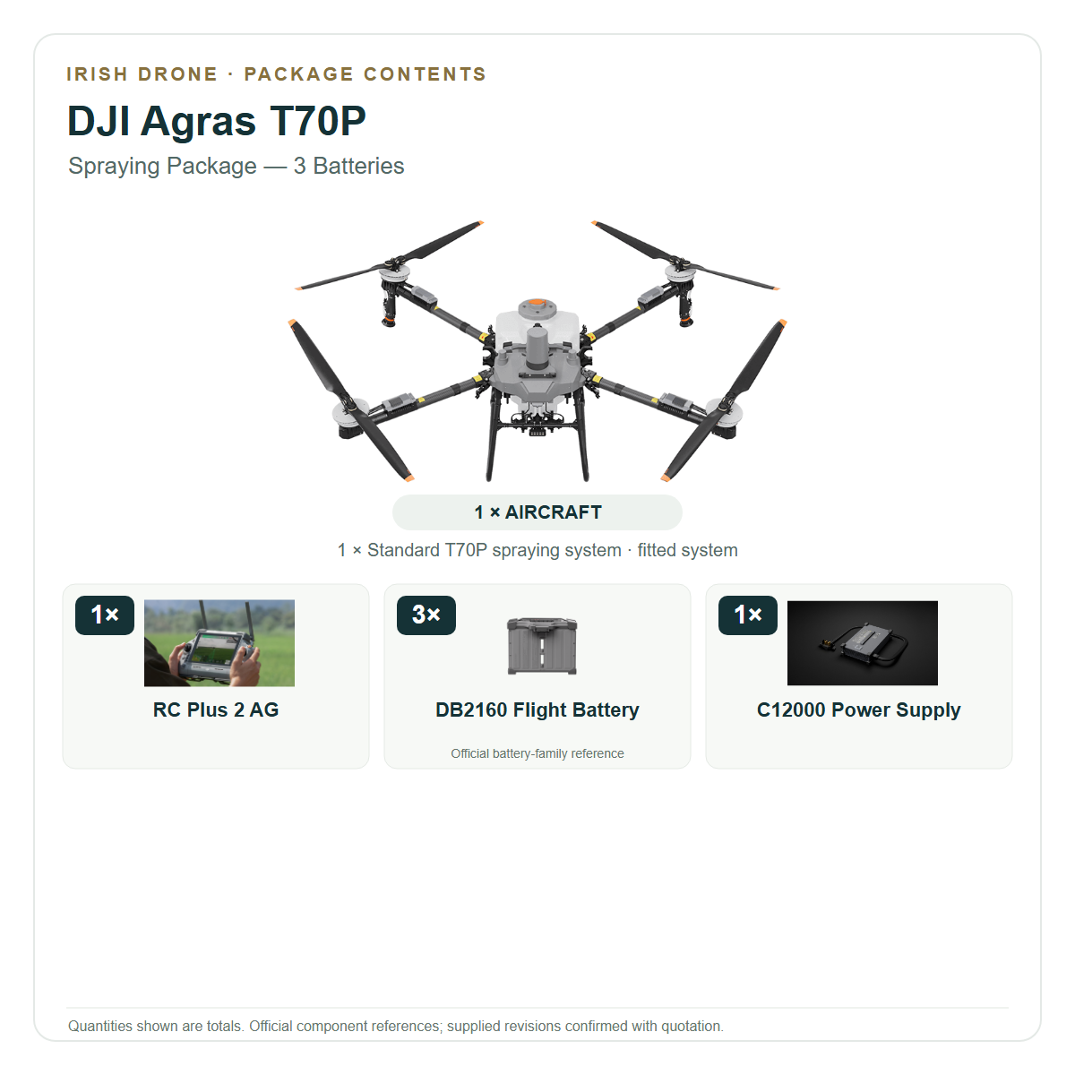
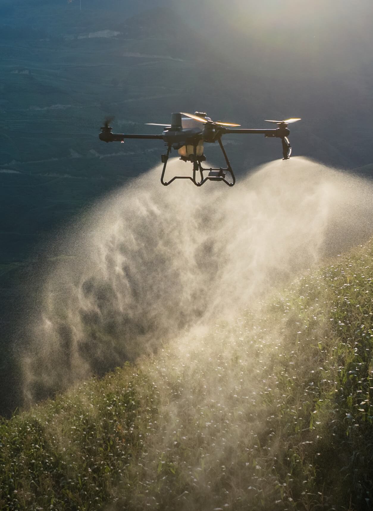
The vehicle location is also assessed. Parking beside the convenient gate may place replenishment too close to the lane, while a different location may require a longer controlled carry of material. The proposed T70P three-battery spraying setup is then assessed against those practical constraints. A successful demonstration must show the boundary, restart and ground-team procedures, rather than proving only that the aircraft can traverse the centre of the field.
Plan the ground team and the weather decision
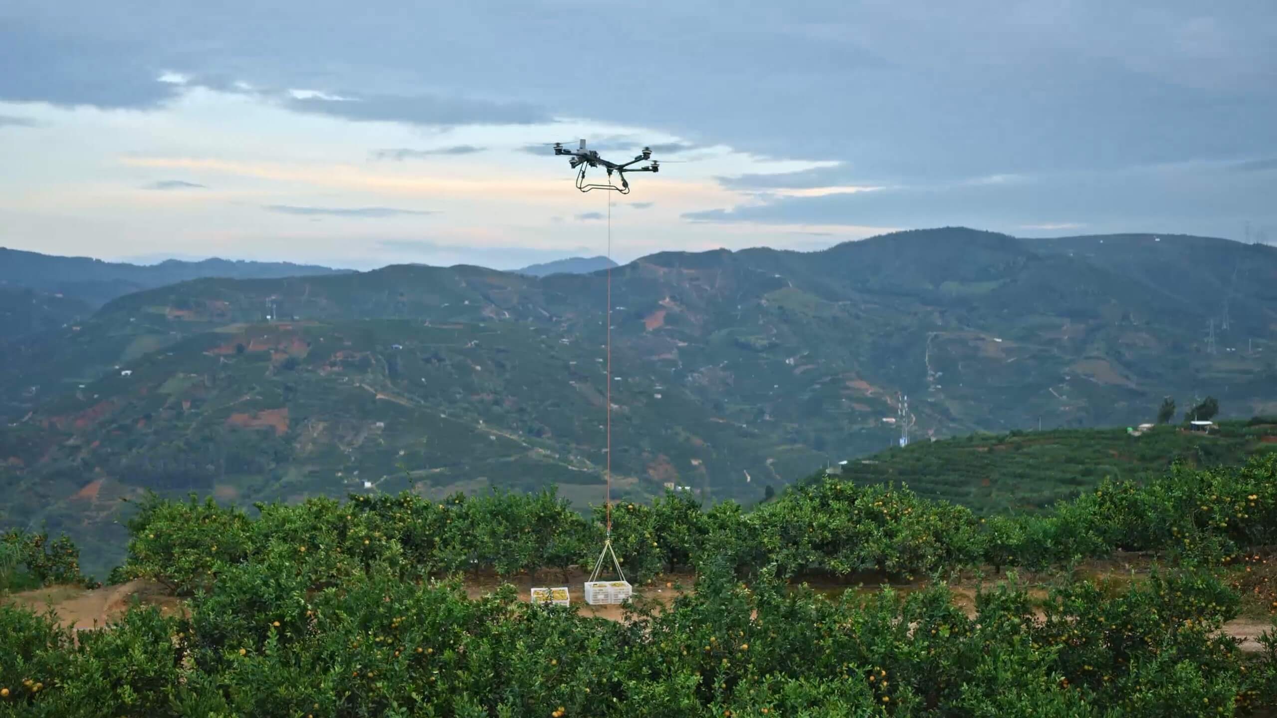
Choose a preparation and replenishment area that does not conflict with the flight route, public access or livestock handling. Brief everyone on where they may stand and who controls movement around the aircraft. Make communication and stopping conditions explicit. If the site cannot provide a suitable ground area, that can be a reason to reject the proposed operation even where the crop area itself appears workable.
Assess weather for the intended task, not just against an aircraft survival limit. A manufacturer’s maximum wind-resistance figure is not a recommended spraying condition, a guarantee of deposition or a permission to fly close to a hedge. For liquid work, application quality must be considered separately, using the general principles in Teagasc’s sprayer guidance and model-appropriate validation. Keep the eventual material and regulatory checks outside any assumption that an automated route makes the decision safe.
Approve a route package that can be revisited
The completed planning pack should show the working blocks, exclusions, obstacles, ground area, expected route behaviour, interruption procedure and reasons for stopping. Include the date and the people who reviewed it. A later visit should begin by checking what has changed rather than assuming that a previously flown file is still suitable. Orchard growth and routine farm activity make that review especially important.
Align the proposal with the current IAA operational-authorisation process. A manufacturer’s route function and a catalogue listing do not establish permission for the particular activity. Bring Irish Drone the site sketch, the task and the unresolved constraints so that a configuration discussion can be specific. The next step is a bounded assessment using the exact aircraft and equipment, with clear criteria for accepting, revising or declining the proposed route.
Frequently asked questions
Does automatic obstacle sensing remove the need for a field walk?
No. Review actual obstacles, people, access, operating conditions and the limits of the installed sensing system.
Can the same route be reused without checking the site?
No. Boundaries, vegetation, temporary obstacles and farm activity may have changed; review the route and its supporting information before each operation.
Explore the aircraft and packages
Follow the product page for the exact configuration and included equipment. Equipment selection and operating authorisation are separate parts of the project.

Talk to Irish Drone about your project
Send us the site, task, load or application material, intended operating pattern and available charging supply. We can help scope a suitable aircraft and package and discuss the preparation needed for an Irish operation.
Contact usPlan the next part of your operation


Official sources and technical guidance
These links support specific facts in the guide. Check the current revision and operating conditions when preparing a real project.


Leave a comment