

A clear controller screen is not visual line of sight, and an unlocked aircraft is not an airspace permission. Start with the route and its surroundings.

Decide what the pilot must actually see
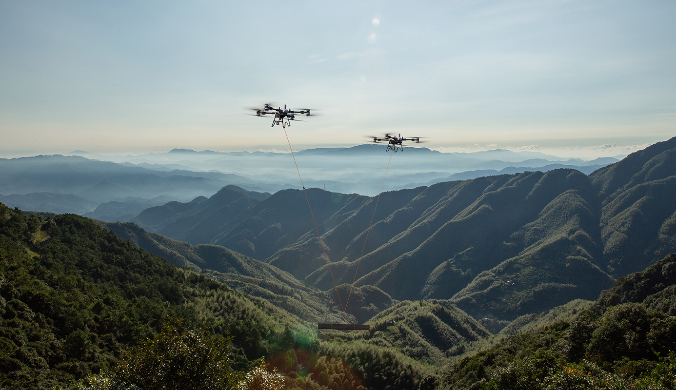
Visual line of sight is an operational capability, not a distance printed on a brochure. Terrain, trees, buildings, weather, contrast and the size and orientation of the aircraft affect whether the pilot can maintain the necessary visual awareness. The Open-category conditions include VLOS; a heavy-drone Specific operation must follow the visibility and other conditions of its own legal basis. A video feed does not by itself convert a route hidden behind a hill into VLOS.
Walk or survey the proposed operating area from the intended pilot position. Record where the aircraft would become masked, where the background is difficult and how the receiving area will be monitored. Evaluate the empty and loaded routes, not just the shortest line between two pins. Manufacturer transmission range is a communication-system figure under stated conditions. It is neither a safe operating radius nor permission to fly to that distance. Plan the route first, then assess whether the proposed control and observation arrangements can support it.
Observers need a defined role
An extra person standing on the route does not automatically make any flight acceptable. Distinguish observing the aircraft, scanning airspace, controlling access and monitoring a delivery area. These are different duties with different positions, sightlines and communication needs. For example, a person concentrating on a load attachment may be unable to maintain an effective airspace watch. The current EU rules and guidance should be applied to the exact declared or authorised operating concept.
Define what each observer must detect, what they must report and what the pilot does when the report is absent. If a route relies on observers for mitigation, their effective coverage and communication cannot be left as assumptions. Assess terrain masking and likely radio or phone coverage during the survey. Do not describe a chain of observers as a general exemption from BVLOS requirements. If the proposed operation is BVLOS, its risk assessment and authorisation must support that operation and the chosen means of addressing the air risk.
Plan airspace and ground exposure together
A route can have good radio coverage and still be unsuitable because its ground footprint is uncontrolled. Conversely, a deserted area may have aviation activity that matters. Review roads, footpaths, buildings, livestock movements and work crews alongside aerodromes, helicopter activity and other airspace uses. The IAA guidance on operational volumes and ground risk buffers is useful for distinguishing the planned flight geography from the space needed for contingencies and consequences.
For a suspended load, include the full handling geometry, the possibility of load motion and the selected emergency response. Do not sketch a thin centreline and assume every effect stays on it. If the route climbs a slope, show the altitude reference and the relationship to changing terrain. A planned height above take-off is not automatically the same height above the surface beneath the aircraft. Write these assumptions clearly so that the pilot, customer and assessment reviewer are describing the same flight.
Make weather a route decision
Use the aircraft manual and the proposed operating limits, then assess the route-specific environment. A sheltered take-off point may give a poor indication of conditions above a ridge or beside a large structure. Visibility can change along the route, and precipitation can affect both visual observation and the ground operation. A manufacturer’s protection rating should not be treated as permission to ignore the weather limitations in the relevant manual or authorisation.
Establish the sources and observation points used to decide whether to launch, continue or stop. Identify conditions that require a reassessment even if no numeric limit has yet been exceeded: a cloud bank obscuring a visual reference, deteriorating contrast or an unexpected pattern of gusts affecting the load. These are practical planning considerations, not claimed performance tests. Record a conservative decision process for the actual aircraft and operation rather than assigning every Irish farm the same generic wind limit.
Prepare a route pack that another crew can follow
A useful route pack contains a dated map, coordinates, height references, take-off and receiving areas, pilot and observer positions, relevant airspace conditions, communications, limits and decision points. Include a clear method to suspend the task when an aircraft or person enters the relevant area. Record the applicable authorisation reference and the procedure for verifying the site remains within its scope. The pilot and operator responsibilities require current operational information and compliance with the applicable limitations.
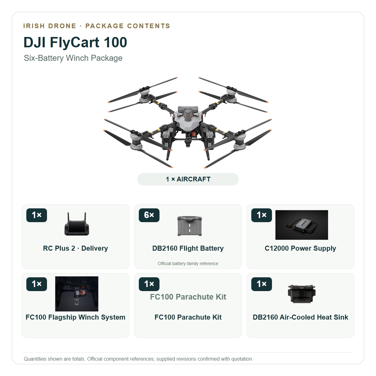
Use the pack during the customer site visit and crew briefing, then update it when conditions change. Match the FlyCart or Agras package to the workable route, including batteries, handling equipment and charging support. Extra batteries improve only the part of productivity they address; they cannot resolve a missing airspace permission or an unassessed BVLOS leg. Irish Drone can help organise the aircraft and equipment requirements while the operating concept and authorisation evidence are developed.
Retain the reason for selecting the route as well as its coordinates. A future crew then understands which obstacles, access constraints and exposure assumptions shaped it, making an apparently minor route change easier to assess before accepting it.
Frequently asked questions
Does a long transmission range permit BVLOS?
No. Link capability and legal operating scope are different. A BVLOS operation needs the appropriate risk assessment, mitigations and authorisation.
Does DJI unlocking provide Irish airspace permission?
No. Aircraft software access does not replace geographical-zone conditions or any required authority permission.
Explore the aircraft and packages
Follow the product page for the exact configuration and included equipment. Equipment selection and operating authorisation are separate parts of the project.


Talk to Irish Drone about your project
Send us the site, task, load or application material, intended operating pattern and available charging supply. We can help scope a suitable aircraft and package and discuss the preparation needed for an Irish operation.
Contact usPlan the next part of your operation

Official sources and technical guidance
These links support specific facts in the guide. Check the current revision and operating conditions when preparing a real project.






Leave a comment